Birmingham Airport (EGBB / BHX)
Empty legs and charters from Birmingham
EGBB airport at a glance
- ICAO code
- EGBB
- IATA code
- BHX
- City
- Birmingham
- Region
- England
- Country
- United Kingdom
- Elevation
- 327 ft (100 m)
- Time zone
- Europe/London (UTC±0)
- Coordinates
- 52.4539° N, 1.7480° W
- Empty legs from
- 20
- Empty legs to
- 17
Weather & airport info EGBB
Current weather
No current weather report is available for this airport.
Airport
- Elevation
- 327 ft (100 m)
- Sunrise / Sunset
- 07:06 / 16:34 local time
Runways
| Runway | Length | Surface | Lighted |
|---|---|---|---|
| 15/33 | 3,052 m (10,013 ft) | asphalt | yes |
Radio frequencies
- Approach: 118.05
- Approach: 123.975
- ATIS: 136.02
- Ground: 121.8
- Tower: 118.3
For information only, not for flight planning. Weather can change quickly; always rely on official reports. Sources: aviationweather.gov (NOAA), OurAirports.
Airport map EGBB
Full screen →Runways white, taxiways yellow with designators, closed taxiways and runways per NOTAM in red.
Official charts
Aerodrome, approach and ground charts are published by the national air navigation service in its AIP:
NATS UK AIP →For information only, not for navigation. Always use current official charts and NOTAMs.
Current NOTAMs for EGBB(14)
NOTAMs (Notices to Air Missions) announce short-term changes at an airport: closed runways or taxiways, unserviceable approach aids, obstacles, airspace restrictions.
- ClosedControl area: deactivatedC6878/26· until 05 Dec, 06:00 UTC
Birmingham's controlled airspace (CTA/CTR) and the airport are closed due to winter maintenance. Air Traffic Control is out of service, and pilots must make blind transmissions when leaving the airspace.
Show original text
BIRMINGHAM CTA/CTR DEACTIVATED. ATC CLSD. AD CLSD. PILOTS ARE TO MAKE BLIND TRANSMISSIONS WHEN LEAVING THE LATERAL CONFINES OF THE CTR/CTA. CLOSURE DUE TO AIRFIELD WINTER MAINT. AIP SUPPLEMENT 110/2026 REFERS.
C6878/26 NOTAMN
 Q) EGTT/QAECD/IV/NBO/AE/000/145/5225N00152W020
 A) EGBB B) 2611022330 C) 2612050600
 D) MON-FRI 2330-0600
 E) BIRMINGHAM CTA/CTR DEACTIVATED. ATC CLSD. AD CLSD. PILOTS ARE TO
 MAKE BLIND TRANSMISSIONS WHEN LEAVING THE LATERAL CONFINES OF THE
 CTR/CTA. CLOSURE DUE TO AIRFIELD WINTER MAINT. AIP SUPPLEMENT
 110/2026 REFERS.
Hours: MON-FRI 2330-0600
- NoticeUnmanned aircraft: will take placeC7131/26· from 09 Nov, 08:30 UTC · until 13 Nov, 19:00 UTC
Unmanned aircraft systems are operating beyond visual line of sight using visual observers within a defined area in Birmingham. The maximum height is 263 feet above ground.
Show original text
UAS OPR BEYOND VISUAL LINE OF SIGHT (BVLOS) UTILISING VISUAL OBSERVERS (EXTENDED LINE OF SIGHT) WI AREA BOUNDED BY 522920N 0015200W - 522921N 0015200W - 522921N 0015159W - 522921N 0015156W - 522920N 0015155W - 522916N 0015155W - 522906N 0015159W - 522904N 0015200W - 522901N 0015200W - 522857N 0015159W - 522907N 0014946W - 522908N 0014929W - 522909N 0014913W - 522908N 0014901W - 522908N 0014849W - 522906N 0014830W - 522905N 0014819W - 522904N 0014807W - 522900N 0014746W - 522857N 0014731W - 522852N 0014713W - 522851N 0014713W - 522850N 0014713W - 522850N 0014715W - 522855N 0014732W - 522858N 0014747W - 522902N 0014808W - 522904N 0014820W - 522905N 0014836W - 522906N 0014849W - 522907N 0014901W - 522907N 0014913W - 522906N 0014929W - 522906N 0014946W - 522855N 0015201W - 522855N 0015202W - 522856N 0015202W - 522901N 0015203W - 522904N 0015203W - 522907N 0015202W - 522917N 0015158W - 522919N 0015158W - 522919N 0015200W - 522920N 0015200W (BIRMINGHAM). MAX HGT 263FT AGL. BEYOND VISUAL LINE OF SIGHT OPR WITH OBSERVERS PROGRESSING TO ATYPICAL BEYOND VISUAL LINE OF SIGHT OPR. FOR INFO 07912 753411 / 07535 760859. AR-2026-9140/08.
C7131/26 NOTAMN
 Q) EGTT/QWULW/IV/BO /AW/000/007/5229N00150W002
 A) EGBB B) 2611090830 C) 2611131900
 D) 0830-1900
 E) UAS OPR BEYOND VISUAL LINE OF SIGHT (BVLOS) UTILISING VISUAL
 OBSERVERS (EXTENDED LINE OF SIGHT) WI AREA BOUNDED BY
 522920N 0015200W - 522921N 0015200W - 522921N 0015159W -
 522921N 0015156W - 522920N 0015155W - 522916N 0015155W -
 522906N 0015159W - 522904N 0015200W - 522901N 0015200W -
 522857N 0015159W - 522907N 0014946W - 522908N 0014929W -
 522909N 0014913W - 522908N 0014901W - 522908N 0014849W -
 522906N 0014830W - 522905N 0014819W - 522904N 0014807W -
 522900N 0014746W - 522857N 0014731W - 522852N 0014713W -
 522851N 0014713W - 522850N 0014713W - 522850N 0014715W -
 522855N 0014732W - 522858N 0014747W - 522902N 0014808W -
 522904N 0014820W - 522905N 0014836W - 522906N 0014849W -
 522907N 0014901W - 522907N 0014913W - 522906N 0014929W -
 522906N 0014946W - 522855N 0015201W - 522855N 0015202W -
 522856N 0015202W - 522901N 0015203W - 522904N 0015203W -
 522907N 0015202W - 522917N 0015158W - 522919N 0015158W -
 522919N 0015200W - 522920N 0015200W (BIRMINGHAM). MAX HGT 263FT
 AGL. BEYOND VISUAL LINE OF SIGHT OPR WITH OBSERVERS PROGRESSING TO
 ATYPICAL BEYOND VISUAL LINE OF SIGHT OPR. FOR INFO 07912 753411 /
 07535 760859. AR-2026-9140/08.
 F) SFC G) 700FT AMSL
Hours: 0830-1900
- NoticeUnmanned aircraft: will take placeC7135/26· from 09 Nov, 08:30 UTC · until 13 Nov, 19:00 UTC
Unmanned aircraft systems are operating beyond visual line of sight using visual observers within a defined area between Birmingham and Aston. The maximum height is 263 feet above ground.
Show original text
UAS OPR BEYOND VISUAL LINE OF SIGHT (BVLOS) UTILISING VISUAL OBSERVERS (EXTENDED LINE OF SIGHT) WI AREA BOUNDED BY 523012N 0015217W - 523013N 0015217W - 523013N 0015216W - 523010N 0015211W - 523008N 0015208W - 523006N 0015157W - 523000N 0015140W - 522957N 0015126W - 522956N 0015125W - 522951N 0015133W - 522946N 0015139W - 522942N 0015144W - 522936N 0015149W - 522933N 0015151W - 522930N 0015152W - 522924N 0015153W - 522920N 0015155W - 522918N 0015155W - 522908N 0015159W - 522903N 0015201W - 522859N 0015203W - 522856N 0015208W - 522854N 0015212W - 522854N 0015218W - 522853N 0015234W - 522853N 0015240W - 522853N 0015251W - 522853N 0015252W - 522854N 0015251W - 522900N 0015238W - 522903N 0015233W - 522906N 0015229W - 522910N 0015225W - 522912N 0015223W - 522918N 0015218W - 522922N 0015216W - 522926N 0015214W - 522937N 0015211W - 522946N 0015210W - 522956N 0015210W - 522959N 0015211W - 523003N 0015212W - 523012N 0015217W (BIRMINGHAM TO ASTON). MAX HGT 263FT AGL. BEYOND VISUAL LINE OF SIGHT OPR WITH OBSERVERS PROGRESSING TO ATYPICAL BEYOND VISUAL LINE OF SIGHT OPR. FOR INFO 07912 753411 / 07535 760859. AR-2026-9153/09.
C7135/26 NOTAMN
 Q) EGTT/QWULW/IV/BO /AW/000/007/5230N00152W002
 A) EGBB B) 2611090830 C) 2611131900
 D) 0830-1900
 E) UAS OPR BEYOND VISUAL LINE OF SIGHT (BVLOS) UTILISING VISUAL
 OBSERVERS (EXTENDED LINE OF SIGHT) WI AREA BOUNDED BY
 523012N 0015217W - 523013N 0015217W - 523013N 0015216W -
 523010N 0015211W - 523008N 0015208W - 523006N 0015157W -
 523000N 0015140W - 522957N 0015126W - 522956N 0015125W -
 522951N 0015133W - 522946N 0015139W - 522942N 0015144W -
 522936N 0015149W - 522933N 0015151W - 522930N 0015152W -
 522924N 0015153W - 522920N 0015155W - 522918N 0015155W -
 522908N 0015159W - 522903N 0015201W - 522859N 0015203W -
 522856N 0015208W - 522854N 0015212W - 522854N 0015218W -
 522853N 0015234W - 522853N 0015240W - 522853N 0015251W -
 522853N 0015252W - 522854N 0015251W - 522900N 0015238W -
 522903N 0015233W - 522906N 0015229W - 522910N 0015225W -
 522912N 0015223W - 522918N 0015218W - 522922N 0015216W -
 522926N 0015214W - 522937N 0015211W - 522946N 0015210W -
 522956N 0015210W - 522959N 0015211W - 523003N 0015212W -
 523012N 0015217W (BIRMINGHAM TO ASTON). MAX HGT 263FT AGL.
 BEYOND VISUAL LINE OF SIGHT OPR WITH OBSERVERS
 PROGRESSING TO ATYPICAL BEYOND VISUAL LINE OF SIGHT OPR. FOR INFO
 07912 753411 / 07535 760859. AR-2026-9153/09.
 F) SFC G) 700FT AMSL
Hours: 0830-1900
- NoticeUnmanned aircraft: will take placeC7136/26· from 09 Nov, 08:30 UTC · until 13 Nov, 19:00 UTC
Unmanned aircraft systems are operating beyond visual line of sight using visual observers within a defined area between Birmingham and Solihull. The maximum height is 263 feet above ground.
Show original text
UAS OPR BEYOND VISUAL LINE OF SIGHT (BVLOS) WI AREA BOUNDED BY 522920N 0015200W - 522921N 0015159W - 522920N 0015155W - 522917N 0015155W - 522904N 0015200W - 522851N 0015200W - 522823N 0015215W - 522814N 0015221W - 522810N 0015220W - 522808N 0015216W - 522743N 0015114W - 522718N 0015026W - 522711N 0015004W - 522708N 0014938W - 522703N 0014919W - 522656N 0014902W - 522644N 0014840W - 522633N 0014826W - 522620N 0014815W - 522610N 0014809W - 522552N 0014802W - 522531N 0014757W - 522518N 0014750W - 522507N 0014739W - 522502N 0014733W - 522448N 0014710W - 522447N 0014712W - 522501N 0014735W - 522515N 0014750W - 522531N 0014800W - 522552N 0014805W - 522609N 0014812W - 522619N 0014818W - 522632N 0014829W - 522643N 0014842W - 522655N 0014904W - 522701N 0014920W - 522706N 0014939W - 522710N 0015005W - 522716N 0015027W - 522741N 0015116W - 522806N 0015217W - 522809N 0015222W - 522815N 0015224W - 522823N 0015217W - 522852N 0015203W - 522904N 0015203W - 522917N 0015158W - 522919N 0015158W - 522920N 0015200W (BIRMINGHAM TO SOLIHULL). MAX HGT 263FT AGL. BEYOND VISUAL LINE OF SIGHT OPR WITH OBSERVERS PROGRESSING TO ATYPICAL BEYOND VISUAL LINE OF SIGHT OPR. FOR INFO 07912 753411 / 07535 760859. AR-2026-9149/07.
C7136/26 NOTAMN
 Q) EGTT/QWULW/IV/BO /AW/000/008/5227N00150W003
 A) EGBB B) 2611090830 C) 2611131900
 D) 0830-1900
 E) UAS OPR BEYOND VISUAL LINE OF SIGHT (BVLOS) WI AREA BOUNDED BY
 522920N 0015200W - 522921N 0015159W - 522920N 0015155W -
 522917N 0015155W - 522904N 0015200W - 522851N 0015200W -
 522823N 0015215W - 522814N 0015221W - 522810N 0015220W -
 522808N 0015216W - 522743N 0015114W - 522718N 0015026W -
 522711N 0015004W - 522708N 0014938W - 522703N 0014919W -
 522656N 0014902W - 522644N 0014840W - 522633N 0014826W -
 522620N 0014815W - 522610N 0014809W - 522552N 0014802W -
 522531N 0014757W - 522518N 0014750W - 522507N 0014739W -
 522502N 0014733W - 522448N 0014710W - 522447N 0014712W -
 522501N 0014735W - 522515N 0014750W - 522531N 0014800W -
 522552N 0014805W - 522609N 0014812W - 522619N 0014818W -
 522632N 0014829W - 522643N 0014842W - 522655N 0014904W -
 522701N 0014920W - 522706N 0014939W - 522710N 0015005W -
 522716N 0015027W - 522741N 0015116W - 522806N 0015217W -
 522809N 0015222W - 522815N 0015224W - 522823N 0015217W -
 522852N 0015203W - 522904N 0015203W - 522917N 0015158W -
 522919N 0015158W - 522920N 0015200W (BIRMINGHAM TO SOLIHULL).
 MAX HGT 263FT AGL. BEYOND VISUAL LINE OF SIGHT OPR WITH OBSERVERS
 PROGRESSING TO ATYPICAL BEYOND VISUAL LINE OF SIGHT OPR. FOR INFO
 07912 753411 / 07535 760859. AR-2026-9149/07.
 F) SFC G) 800FT AMSL
Hours: 0830-1900
- NoticeUnmanned aircraft: will take placeC7137/26· from 09 Nov, 08:30 UTC · until 13 Nov, 19:00 UTC
Unmanned aircraft systems are operating beyond visual line of sight using visual observers within a defined area in Aston. The maximum height is 260 feet above ground.
Show original text
UAS OPR BEYOND VISUAL LINE OF SIGHT (BVLOS) UTILISING VISUAL OBSERVERS (EXTENDED LINE OF SIGHT) WI AREA BOUNDED BY 522949N 0015139W - 522953N 0015135W - 522957N 0015128W - 522957N 0015126W - 522954N 0015117W - 522952N 0015111W - 522950N 0015105W - 522940N 0015046W - 522935N 0015032W - 522917N 0014933W - 522914N 0014924W - 522911N 0014911W - 522909N 0014855W - 522908N 0014840W - 522907N 0014840W - 522907N 0014839W - 522906N 0014840W - 522906N 0014841W - 522907N 0014855W - 522909N 0014912W - 522912N 0014926W - 522915N 0014935W - 522934N 0015033W - 522939N 0015047W - 522948N 0015106W - 522951N 0015112W - 522953N 0015118W - 522955N 0015126W - 522951N 0015132W - 522948N 0015137W - 522944N 0015142W - 522939N 0015147W - 522934N 0015151W - 522931N 0015152W - 522924N 0015153W - 522919N 0015155W - 522919N 0015156W - 522920N 0015200W - 522921N 0015159W - 522921N 0015158W - 522924N 0015156W - 522931N 0015155W - 522934N 0015154W - 522940N 0015150W - 522945N 0015145W - 522949N 0015139W (ASTON). MAX HGT 260FT AGL. BEYOND VISUAL LINE OF SIGHT OPR WITH OBSERVERS PROGRESSING TO ATYPICAL BEYOND VISUAL LINE OF SIGHT OPR. FOR INFO 07912 753477 / 07535 760859. AR-2026-9129/07.
C7137/26 NOTAMN
 Q) EGTT/QWULW/IV/BO /AW/000/007/5229N00150W002
 A) EGBB B) 2611090830 C) 2611131900
 D) 0830-1900
 E) UAS OPR BEYOND VISUAL LINE OF SIGHT (BVLOS) UTILISING VISUAL
 OBSERVERS (EXTENDED LINE OF SIGHT) WI AREA BOUNDED BY
 522949N 0015139W - 522953N 0015135W - 522957N 0015128W -
 522957N 0015126W - 522954N 0015117W - 522952N 0015111W -
 522950N 0015105W - 522940N 0015046W - 522935N 0015032W -
 522917N 0014933W - 522914N 0014924W - 522911N 0014911W -
 522909N 0014855W - 522908N 0014840W - 522907N 0014840W -
 522907N 0014839W - 522906N 0014840W - 522906N 0014841W -
 522907N 0014855W - 522909N 0014912W - 522912N 0014926W -
 522915N 0014935W - 522934N 0015033W - 522939N 0015047W -
 522948N 0015106W - 522951N 0015112W - 522953N 0015118W -
 522955N 0015126W - 522951N 0015132W - 522948N 0015137W -
 522944N 0015142W - 522939N 0015147W - 522934N 0015151W -
 522931N 0015152W - 522924N 0015153W - 522919N 0015155W -
 522919N 0015156W - 522920N 0015200W - 522921N 0015159W -
 522921N 0015158W - 522924N 0015156W - 522931N 0015155W -
 522934N 0015154W - 522940N 0015150W - 522945N 0015145W -
 522949N 0015139W (ASTON). MAX HGT 260FT AGL. BEYOND VISUAL LINE OF
 SIGHT OPR WITH OBSERVERS PROGRESSING TO ATYPICAL BEYOND VISUAL LINE
 OF SIGHT OPR. FOR INFO 07912 753477 / 07535 760859.
 AR-2026-9129/07.
 F) SFC G) 700FT AMSL
Hours: 0830-1900
- NoticeModel flying: will take placeC6825/26· from 07 Nov, 19:45 UTC · until 07 Nov, 20:30 UTC
Fireworks are taking place within a 0.5 nautical mile radius of Solihull.
Show original text
FIREWORKS WI 0.5NM RADIUS OF 522409N 0014448W (SOLIHULL). FOR INFO 07808 504553. AR-2026-9894/01.
C6825/26 NOTAMN
 Q) EGTT/QWZLW/IV/M  /AW/000/008/5224N00145W001
 A) EGBB B) 2611071945 C) 2611072030
 E) FIREWORKS WI 0.5NM RADIUS OF 522409N 0014448W (SOLIHULL).  FOR
 INFO 07808 504553. AR-2026-9894/01.
 F) SFC G) 800FT AMSL
- NoticeUnmanned aircraft: will take placeC7088/26· from 06 Nov, 16:00 UTC · until 07 Nov, 23:59 UTC
A swarm of 750 unmanned aircraft systems (UAS) is operating within a 0.5 nautical mile radius of 522723N 0015408W (Edgbaston, Moseley). The maximum height is 400 feet above ground.
Show original text
UAS SWARM OPR WI 0.5NM RADIUS OF 522723N 0015408W (EDGBASTON, MOSELEY). SWARM MADE UP OF 750 UAS. MAX HGT 400FT AGL. FOR INFO 07882 946825. AR-2026-10267/01.
C7088/26 NOTAMN
 Q) EGTT/QWULW/IV/BO /AW/000/009/5227N00154W001
 A) EGBB B) 2611061600 C) 2611072359
 D) 1600-2359
 E) UAS SWARM OPR WI 0.5NM RADIUS OF 522723N 0015408W (EDGBASTON,
 MOSELEY). SWARM MADE UP OF 750 UAS. MAX HGT 400FT AGL. FOR INFO
 07882 946825. AR-2026-10267/01.
 F) SFC G) 900FT AMSL
Hours: 1600-2359
- NoticeTemporary restricted area: installedJ3884/26· from 06 Nov, 14:00 UTC · until 19 Dec, 23:00 UTC
A temporary restricted area has been established for unmanned aircraft systems (UAS) near Birmingham, West Midlands. This area is closed to regular air traffic, except for UAS operating under specific exceptions.
Show original text
RESTRICTED AREA (TEMPORARY) INSTALLED FOR UAS ONLY (BIRMINGHAM, WEST MIDLANDS) WI AREA BOUNDED BY 522852N 0015455W - 522856N 0015446W - 522856N 0015438W - 522854N 0015433W - 522852N 0015423W - 522851N 0015420W - 522854N 0015416W - 522905N 0015402W - 522907N 0015354W - 522902N 0015348W - 522900N 0015345W - 522858N 0015345W - 522857N 0015342W - 522855N 0015338W - 522853N 0015327W - 522845N 0015325W - 522843N 0015321W - 522837N 0015326W - 522834N 0015327W - 522834N 0015326W - 522833N 0015326W - 522833N 0015327W - 522834N 0015330W - 522835N 0015333W - 522832N 0015338W - 522831N 0015343W - 522831N 0015344W - 522835N 0015348W - 522834N 0015350W - 522830N 0015401W - 522843N 0015419W - 522845N 0015423W - 522843N 0015433W - 522848N 0015437W - 522847N 0015443W - 522847N 0015446W - 522852N 0015455W. DOES NOT APPLY TO ANY UAS FLYING IN ACCORDANCE WITH EXCEPTIONS STATED IN THE BRIEFING SHEET. A BRIEFING SHEET BFS 137/2026, WITH CHART REFERS. FURTHER DETAILS WWW.NATS.AERO/AIS. RESTRICTION OF FLYING REGULATIONS MADE UNDER ARTICLE 239 OF AIR NAV ORDER 2016. AR-2026-10333/02.
J3884/26 NOTAMN
 Q) EGTT/QRTCS/IV/BO /AW/000/015/5229N00154W001
 A) EGBB B) 2611061400 C) 2612192300
 D) FRI SAT 1400-2300
 E) RESTRICTED AREA (TEMPORARY) INSTALLED FOR UAS ONLY (BIRMINGHAM,
 WEST MIDLANDS) WI AREA BOUNDED BY
 522852N 0015455W - 522856N 0015446W - 522856N 0015438W -
 522854N 0015433W - 522852N 0015423W - 522851N 0015420W -
 522854N 0015416W - 522905N 0015402W - 522907N 0015354W -
 522902N 0015348W - 522900N 0015345W - 522858N 0015345W -
 522857N 0015342W - 522855N 0015338W - 522853N 0015327W -
 522845N 0015325W - 522843N 0015321W - 522837N 0015326W -
 522834N 0015327W - 522834N 0015326W - 522833N 0015326W -
 522833N 0015327W - 522834N 0015330W - 522835N 0015333W -
 522832N 0015338W - 522831N 0015343W - 522831N 0015344W -
 522835N 0015348W - 522834N 0015350W - 522830N 0015401W -
 522843N 0015419W - 522845N 0015423W - 522843N 0015433W -
 522848N 0015437W - 522847N 0015443W - 522847N 0015446W -
 522852N 0015455W. DOES NOT APPLY TO ANY UAS FLYING IN ACCORDANCE
 WITH EXCEPTIONS STATED IN THE BRIEFING SHEET. A BRIEFING SHEET BFS
 137/2026, WITH CHART REFERS. FURTHER DETAILS WWW.NATS.AERO/AIS.
 RESTRICTION OF FLYING REGULATIONS MADE UNDER ARTICLE 239 OF AIR NAV
 ORDER 2016. AR-2026-10333/02.
 F) SFC G) 1500FT AMSL
Hours: FRI SAT 1400-2300
6 more NOTAMs
- NoticeModel flying: will take placeC6430/26· from 05 Nov, 19:15 UTC · until 05 Nov, 19:50 UTC
Fireworks will be set off within a 0.5 nautical mile radius of Solihull. This may affect visibility.
Show original text
FIREWORKS WI 0.5NM RADIUS OF 522548N 0014652W (SOLIHULL). FOR INFO 07927 373531 / 07702 874501. AR-2026-9079/01.
C6430/26 NOTAMN
 Q) EGTT/QWZLW/IV/M  /AW/000/007/5226N00147W001
 A) EGBB B) 2611051915 C) 2611051950
 E) FIREWORKS WI 0.5NM RADIUS OF 522548N 0014652W (SOLIHULL). FOR
 INFO 07927 373531 / 07702 874501. AR-2026-9079/01.
 F) SFC G) 700FT AMSL
- NoticeModel flying: will take placeC6756/26· from 05 Nov, 18:15 UTC · until 05 Nov, 19:15 UTC
Fireworks are taking place within a 0.5 nautical mile radius of Royal Sutton Coldfield.
Show original text
FIREWORKS WI 0.5NM RADIUS OF 523424N 0014920W (ROYAL SUTTON COLDFIELD). FOR INFO 07890 228526. AR-2026-9621/01.
C6756/26 NOTAMN
 Q) EGTT/QWZLW/IV/M  /AW/000/007/5234N00149W001
 A) EGBB B) 2611051815 C) 2611051915
 E) FIREWORKS WI 0.5NM RADIUS OF 523424N 0014920W (ROYAL SUTTON
 COLDFIELD).  FOR INFO 07890 228526. AR-2026-9621/01.
 F) SFC G) 700FT AMSL
- NoticeObstacle: erectedC7228/26· until 03 Nov, 06:00 UTC
A lit mobile crane is operating 1081 meters from Birmingham Airport. Its maximum height is 212 feet above ground (540 feet above mean sea level).
Show original text
LIT MOBILE CRANE OPR 522702N 0014358W (106 MAG, 1081M FM BIRMINGHAM ARP) MAX HGT 212FT AGL/540FT AMSL)
C7228/26 NOTAMN
 Q) EGTT/QOBCE/IV/M  /AE/000/006/5227N00144W001
 A) EGBB B) 2611022330 C) 2611030600
 E) LIT MOBILE CRANE OPR 522702N 0014358W (106 MAG, 1081M FM
 BIRMINGHAM ARP) MAX HGT 212FT AGL/540FT AMSL)
- NoticeDanger area: installedJ3792/26· until 30 Nov, 23:00 UTC
A temporary danger area EGD289A has been established within a 1.65 nautical mile radius of 523022N 0015244W (Aston, Birmingham). Beyond Visual Line of Sight (BVLOS) drone operations are contained wholly within this area, up to a maximum height of 400 feet above ground.
Show original text
TEMPO DANGER AREA (TDA) EGD289A INSTALLED WI 1.65NM RADIUS OF 523022N 0015244W (ASTON, BIRMINGHAM). BEYOND VISUAL LINE OF SIGHT (BVLOS) UAS OPS CONTAINED WHOLLY WI THE TDA. MAX HGT 400FT AGL. EMERG SERVICES ACFT MAY ENTER THE AIRSPACE IN ACCORDANCE WITH LOCAL DECONFLICTION AGREEMENTS. OPEN AND SPECIFIC CAT VISUAL LINE OF SIGHT (VLOS) UAS OPS ARE PERMITTED WI THE TDA WITHOUT PRIOR APPROVAL OR DECONFLICTION. OTHER NON-STANDARD FLIGHT, FLIGHT RESTRICTION ZONE OR CONTROLLED AIRSPACE APPROVALS MUST BE OBTAINED. OPERATORS ARE REMINDED OF THEIR RESPONSIBILITY UNDER CAP722 5.2.2.3 REGARDING OPR IN CLOSE PROXIMITY TO AN EMERG RESPONSE EFFORT. FOR INFO AROPS(AT)CAA.CO.UK. AR-2026-2313/07.
J3792/26 NOTAMN
 Q) EGTT/QRDCS/IV/BO /AW/000/009/5230N00153W003
 A) EGBB B) 2611010700 C) 2611302300
 D) 0700-2300
 E) TEMPO DANGER AREA (TDA) EGD289A INSTALLED WI 1.65NM RADIUS OF
 523022N 0015244W (ASTON, BIRMINGHAM). BEYOND VISUAL LINE OF SIGHT
 (BVLOS) UAS OPS CONTAINED WHOLLY WI THE TDA. MAX HGT 400FT AGL.
 EMERG SERVICES ACFT MAY ENTER THE AIRSPACE IN ACCORDANCE WITH
 LOCAL DECONFLICTION AGREEMENTS. OPEN AND SPECIFIC CAT VISUAL LINE
 OF SIGHT (VLOS) UAS OPS ARE PERMITTED WI THE TDA WITHOUT PRIOR
 APPROVAL OR DECONFLICTION. OTHER NON-STANDARD FLIGHT, FLIGHT
 RESTRICTION ZONE OR CONTROLLED AIRSPACE APPROVALS MUST BE OBTAINED.
 OPERATORS ARE REMINDED OF THEIR RESPONSIBILITY UNDER CAP722 5.2.2.3
 REGARDING OPR IN CLOSE PROXIMITY TO AN EMERG RESPONSE EFFORT. FOR
 INFO AROPS(AT)CAA.CO.UK. AR-2026-2313/07.
 F) SFC G) 900FT AMSL
Hours: 0700-2300
- NoticeAerodrome: limited toC7203/26· until 31 Jan, 23:59 UTC
Fixed-wing aircraft in groups 1 to 3, with a maximum take-off weight of 2000 kg or less, are not accepted at Birmingham Airport. Helicopters remain permissible, and emergency aircraft are exempt from this restriction.
Show original text
FIXED WING ACFT GROUPS 1-3 (MTOW 2000KG AND UNDER) NOT ACPT. HEL REMAIN PERMISSABLE. EMERG ACFT EXEMPT
C7203/26 NOTAMR C4997/26
 Q) EGTT/QFALT/IV/NBO/A /000/999/5227N00145W005
 A) EGBB B) 2610312330 C) 2701312359
 E) FIXED WING ACFT GROUPS 1-3 (MTOW 2000KG AND UNDER) NOT ACPT. HEL
 REMAIN PERMISSABLE. EMERG ACFT EXEMPT
- NoticeTaxiwayC6702/26· until 10 Jan, 23:59 UTC
There is a metal plate on taxiway Delta at Delta 5. This may affect traffic on this taxiway.
Show original text
METAL PLATE ON TWY DELTA AT DELTA 5.
C6702/26 NOTAMN
 Q) EGTT/QMXXX/IV/BO /A /000/999/5227N00145W005
 A) EGBB B) 2610111633 C) 2701102359
 E) METAL PLATE ON TWY DELTA AT DELTA 5.
For information only, not for flight planning or operational use. Always rely on an official pre-flight briefing. This list may be incomplete or out of date. Explanations and expanded abbreviations are generated automatically. The original text is authoritative. Source: FAA NOTAM Management Service (SWIM).
Private jet traffic in Birmingham International Airport (last 30 days)
- Arrivals
- 171
- Departures
- 149
- Different jets
- 136
Most frequent origins: Paris-Le Bourget Airport (8), Farnborough Airport (5), London Biggin Hill Airport (5), Jersey Airport (5), Glasgow International Airport (4).
Most frequent destinations: Farnborough Airport (9), Paris-Le Bourget Airport (7), Belfast International Airport (5), London Biggin Hill Airport (5), London Luton Airport (5).
Most common aircraft types: Cessna Citation Excel/XLS (29), Pilatus PC-12 (27), Embraer Phenom 300 (24), Beechcraft King Air 200/250 (23), Cessna Citation CJ2 (18).
Our own analysis of public ADS-B signals from business jets. Not every flight is received, and jets with a removal request are excluded.
Charter operators based here
Operators with a base at this airport.
- Air Charter ScotlandLondon (Stansted) (EGSS) · Midsize jet, Super midsize jet
- aboveLight jet
- FlightlineTurboprop
Empty legs from EGBB
20 departures available
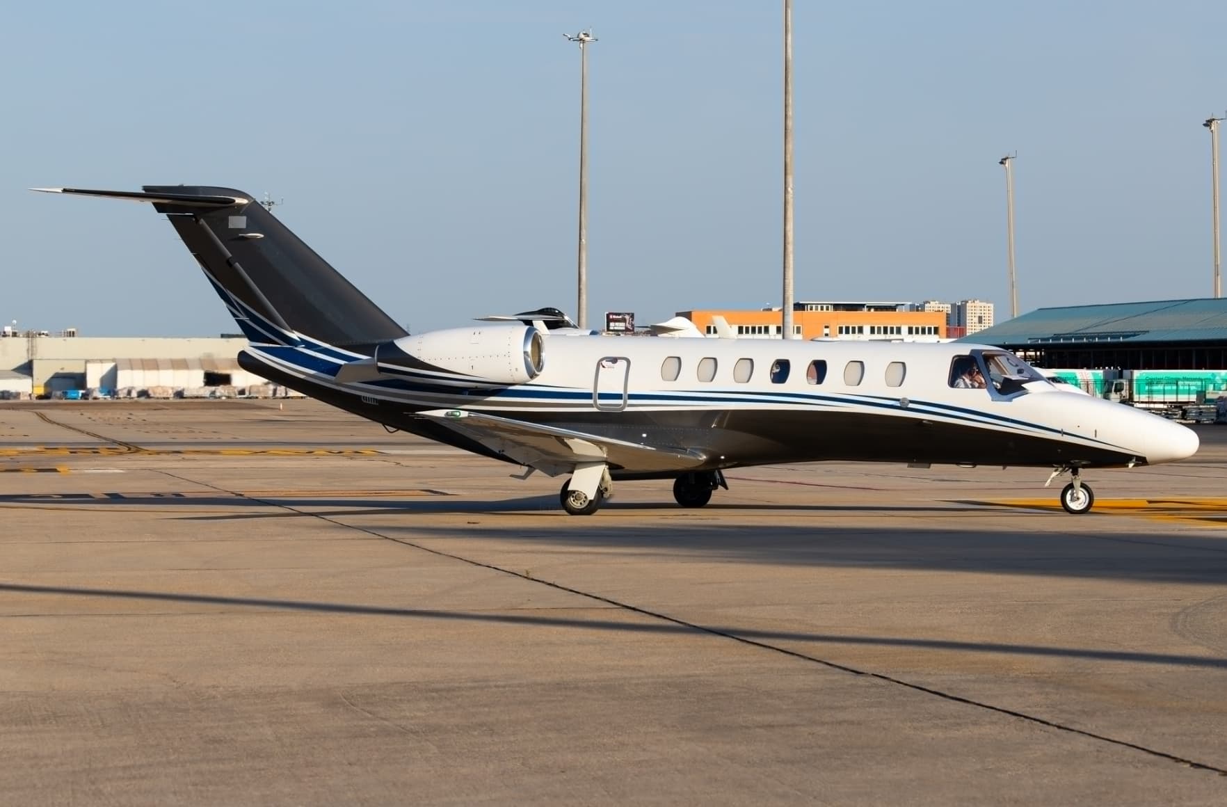 Tue, Nov 3TodayBirminghamEGBB · Birmingham International AirportZaragozaLEZG · Zaragoza Air BaseCitation CJ38—On request3NovBirmingham → ZaragozaEGBB → LEZG · TodayCitation CJ3 · 8 seatsOn request
 Tue, Nov 3TodayBirminghamEGBB · Birmingham International AirportDusseldorfEDLN · Monchengladbach AirportPhenom 3009—On request3NovBirmingham → DusseldorfEGBB → EDLN · TodayPhenom 300 · 9 seatsOn request
- Wed, Nov 406:45BirminghamEGBB · Birmingham AirportFarnboroughEGLF · Farnborough AirportEmbraer Phenom 1004—$2,7504NovBirmingham → FarnboroughEGBB → EGLF · 06:45Embraer Phenom 100 · 4 seats$2,750
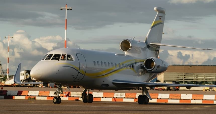 Sat, Nov 7in 4 daysBirminghamEGBB · Birmingham International AirportJerseyEGJJ · Jersey AirportFalcon 900LX14—On request7NovBirmingham → JerseyEGBB → EGJJ · in 4 daysFalcon 900LX · 14 seatsOn request
- Sat, Nov 710:35BirminghamEGBB · Birmingham AirportSaint HelierEGJJ · Jersey AirportDassault Falcon 90012—$18,0407NovBirmingham → Saint HelierEGBB → EGJJ · 10:35Dassault Falcon 900 · 12 seats$18,040
- Sun, Nov 8in 5 daysBirminghamEGBB · Birmingham International AirportTeterboroKTEB · Teterboro AirportFalcon 900LX8—On request8NovBirmingham → TeterboroEGBB → KTEB · in 5 daysFalcon 900LX · 8 seatsOn request
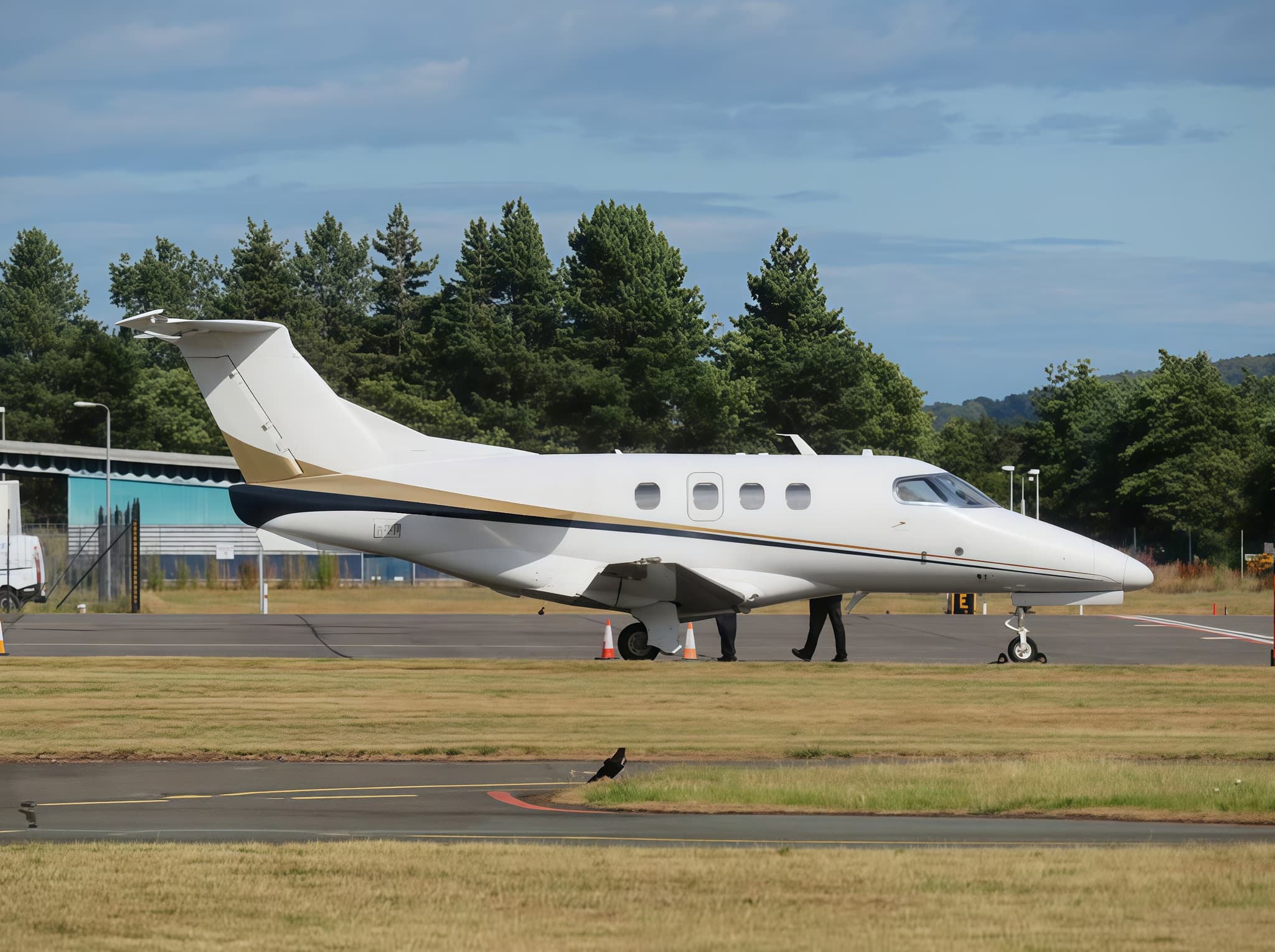 Mon, Nov 9in 6 daysBirminghamEGBB · Birmingham International AirportZurichLSZH · Zurich AirportPhenom 1004—$2,9359NovBirmingham → ZurichEGBB → LSZH · in 6 daysPhenom 100 · 4 seats$2,935
- Wed, Nov 11in 8 daysBirminghamEGBB · Birmingham International AirportMilanLIMC · Malpensa International AirportCitation Mustang4—On request11NovBirmingham → MilanEGBB → LIMC · in 8 daysCitation Mustang · 4 seatsOn request
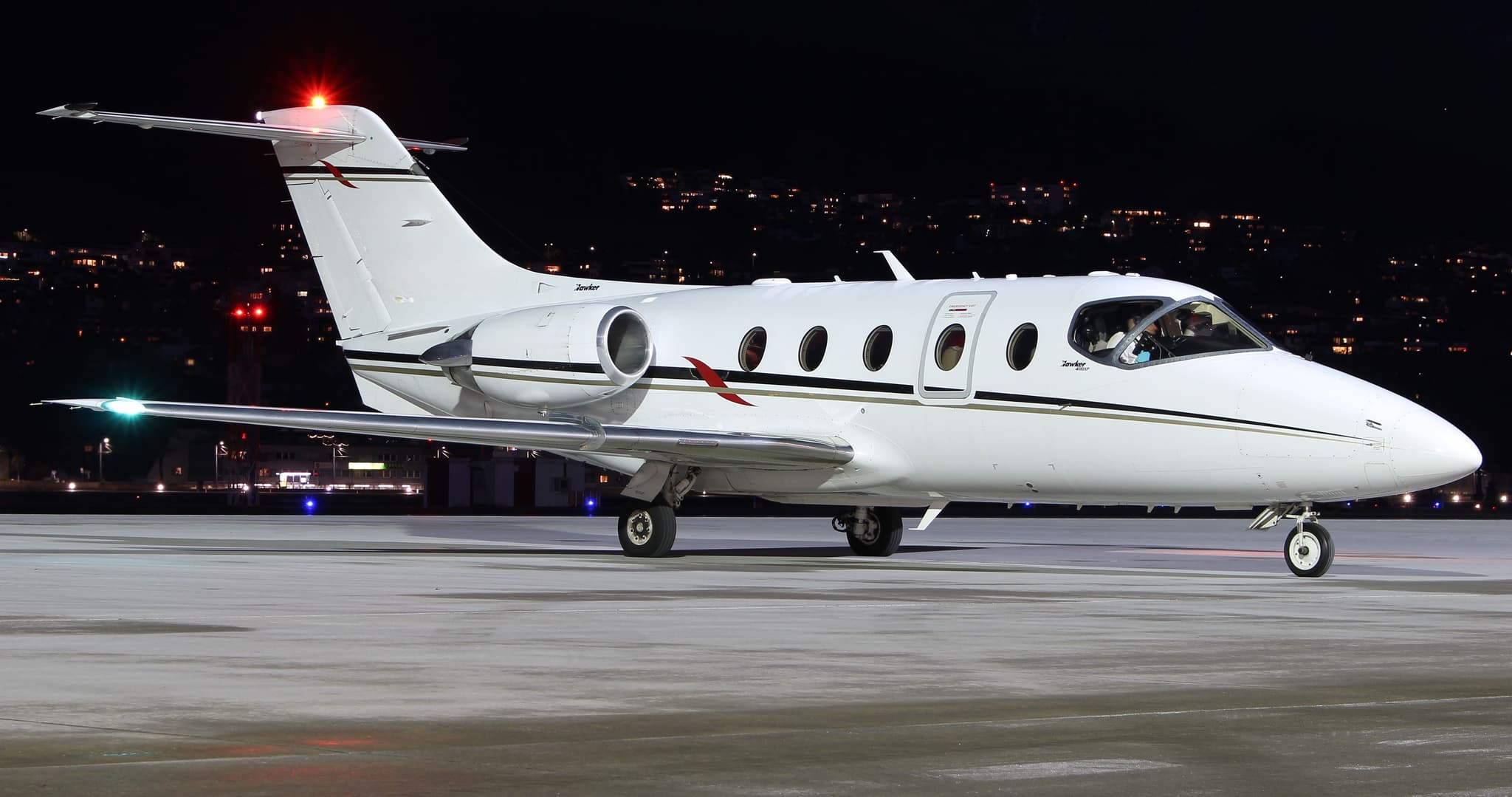 Sat, Nov 21in 18 daysBirminghamEGBB · Birmingham International AirportMalagaLEMG · Malaga AirportHawker 400XP7—On request21NovBirmingham → MalagaEGBB → LEMG · in 18 daysHawker 400XP · 7 seatsOn request
 EGBB · Birmingham International Airport
 LEZG · Zaragoza Air Base
 EDLN · Monchengladbach Airport
 EGJJ · Jersey Airport
 KTEB · Teterboro Airport
 LSZH · Zurich Airport
 LIMC · Malpensa International Airport
* Total price incl. 10% service fee, converted to your selected currency. Price subject to operator confirmation.
Empty legs to EGBB
17 arrivals available
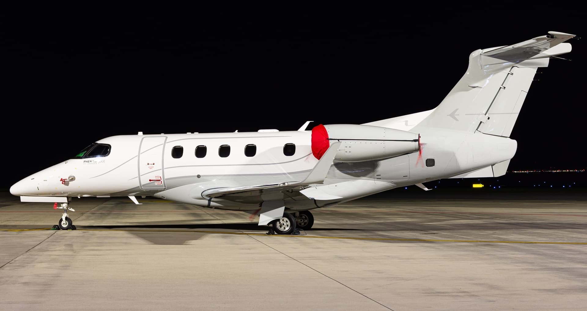 Tue, Nov 3TodayDusseldorfEDLN · Monchengladbach AirportBirminghamEGBB · Birmingham International AirportPhenom 3009—On request3NovDusseldorf → BirminghamEDLN → EGBB · TodayPhenom 300 · 9 seatsOn request
- Tue, Nov 3TodayGenevaLSGG · Geneva Cointrin International AirportBirminghamEGBB · Birmingham International AirportFalcon 900LX14—On request3NovGeneva → BirminghamLSGG → EGBB · TodayFalcon 900LX · 14 seatsOn request
- Thu, Nov 519:30EdinburghEGPH · Edinburgh AirportBirminghamEGBB · Birmingham AirportEmbraer Phenom 1004—$4,0705NovEdinburgh → BirminghamEGPH → EGBB · 19:30Embraer Phenom 100 · 4 seats$4,070
 Sun, Nov 8in 5 daysStuttgartEDDS · Stuttgart AirportBirminghamEGBB · Birmingham International AirportCitation M25—On request8NovStuttgart → BirminghamEDDS → EGBB · in 5 daysCitation M2 · 5 seatsOn request
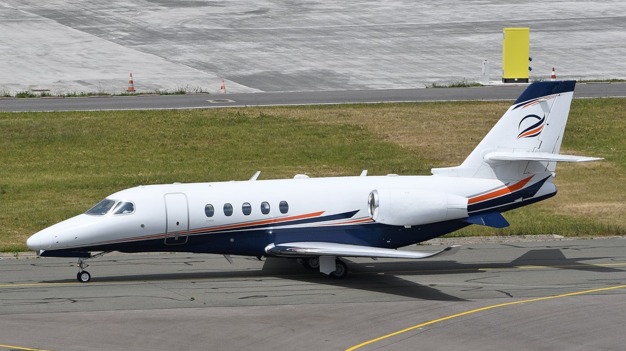 Tue, Nov 17in 14 daysParisLFPB · Paris-Le Bourget AirportBirminghamEGBB · Birmingham International AirportCitation Latitude8—$8,52817NovParis → BirminghamLFPB → EGBB · in 14 daysCitation Latitude · 8 seats$8,528
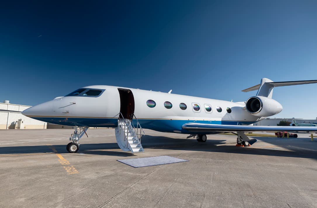 Sun, Nov 22in 19 daysMiamiKOPF · Miami-Opa Locka Executive AirportBirminghamEGBB · Birmingham International AirportGulfstream G50014—$136,81622NovMiami → BirminghamKOPF → EGBB · in 19 daysGulfstream G500 · 14 seats$136,816
 Sun, Nov 22in 19 daysLondonEGSS · London Stansted AirportBirminghamEGBB · Birmingham International AirportLegacy 5007—On request22NovLondon → BirminghamEGSS → EGBB · in 19 daysLegacy 500 · 7 seatsOn request
 Sun, Nov 29in 26 daysLondon OxfordEGTK · London Oxford (Kidlington)Birmingham InternationalEGBBEmbraer Legacy 500835mOn request29NovLondon Oxford → Birmingham InternationalEGTK → EGBB · in 26 daysEmbraer Legacy 500 · 8 seats · 35mOn request
- Thu, Dec 10in 37 daysLondon OxfordEGTK · London Oxford (Kidlington)Birmingham InternationalEGBBEmbraer Legacy 500835mOn request10DecLondon Oxford → Birmingham InternationalEGTK → EGBB · in 37 daysEmbraer Legacy 500 · 8 seats · 35mOn request
 LFPB · Paris-Le Bourget Airport
* Total price incl. 10% service fee, converted to your selected currency. Price subject to operator confirmation.
Map: Birmingham Airport
View the location of Birmingham – BHX/EGBB. Zoom in to explore the area around the airport.
About the airport
Birmingham International Airport (BHX/EGBB) is the key private jet gateway for Birmingham. PrivJet gives you instant access to charter flights and empty legs: fast, discreet and globally connected.
EGBB airport FAQ
Are there any restrictions at Birmingham airport (EGBB) today?
There are currently 5 valid NOTAMs for Birmingham (EGBB). Affected: Control area: deactivated. 9 more NOTAMs start in the coming days. For information only, not for flight planning or operational use. Always rely on an official pre-flight briefing. This list may be incomplete or out of date.
How long are the runways at Birmingham airport (EGBB)?
Birmingham (EGBB) has one runway: runway 15/33 with 3,052 m (10,013 ft), asphalt.
What are the radio frequencies at Birmingham airport (EGBB)?
Frequencies at EGBB: Tower 118.3 MHz, Ground 121.8 MHz and ATIS 136.02 MHz. For information only. Always rely on the published AIP.
What are the airport codes of Birmingham International Airport?
The ICAO code is EGBB and the IATA code is BHX. ICAO codes are used by air traffic control and pilots, e.g. in flight plans; IATA codes appear on tickets and baggage tags.
What is the elevation of EGBB airport?
Birmingham International Airport sits at 327 ft (100 m) above sea level. Local time zone: Europe/London.
Can I fly to EGBB by private jet?
Whether a private jet can operate into Birmingham International Airport depends on runway length, opening hours, customs and immigration rules as well as slot and handling availability, among other things. PrivJet checks this with the operating carrier for every request.
Are there empty legs from or to EGBB?
There are currently 20 empty legs departing from and 17 arriving at Birmingham International Airport. Empty legs are repositioning flights at heavily reduced prices; the list is updated several times a day.