Luxor Airport (HELX / LXR)
Empty legs and charters from Luxor
HELX airport at a glance
- ICAO code
- HELX
- IATA code
- LXR
- City
- Luxor
- Region
- Qena
- Country
- Egypt
- Elevation
- 294 ft (90 m)
- Time zone
- Africa/Cairo (UTC+2)
- Coordinates
- 25.6710° N, 32.7066° E
- Empty legs from
- 5
- Empty legs to
- 5
Weather & airport info HELX
Current weather
Good visual conditions (VFR)observed 03 Nov, 11:00 UTC- Wind
- 4 kt (7 km/h) from northeast (50°)
- Visibility
- 10 km or more
- Clouds
- no significant clouds
- Temperature
- 35 °C (dew point 5 °C)
- Pressure (QNH)
- 1,014 hPa
Original weather report (METAR)
METAR HELX 031100Z 05004KT CAVOK 35/05 Q1014 NOSIG
Forecast (TAF)
- 03 Nov, 12:00–18:00 UTC8 kt (15 km/h) from north (350°) · visibility 10 km or more · no significant weather · no significant clouds
Original forecast (TAF)
TAF HELX 031100Z 0312/0418 35008KT CAVOK
Airport
- Elevation
- 276 ft (84 m)
- Sunrise / Sunset
- 05:58 / 17:06 local time
Runways
| Runway | Length | Surface | Lighted |
|---|---|---|---|
| 02/20 | 3,000 m (9,843 ft) | asphalt | yes |
Radio frequencies
- Approach: 124.3
- Ground: 121.9
- Tower: 119.9
For information only, not for flight planning. Weather can change quickly; always rely on official reports. Sources: aviationweather.gov (NOAA), OurAirports.
Airport map HELX
Full screen →Runways white, taxiways yellow with designators, closed taxiways and runways per NOTAM in red.
Closed per NOTAM: TWY A* (* partly closed)
Official charts
Aerodrome, approach and ground charts are published by the national air navigation service in its AIP:
EUROCONTROL: nationale AIS-Websites →For information only, not for navigation. Always use current official charts and NOTAMs.
Current NOTAMs for HELX(1)
NOTAMs (Notices to Air Missions) announce short-term changes at an airport: closed runways or taxiways, unserviceable approach aids, obstacles, airspace restrictions.
- ClosedTaxiway: closedA0492/26· until 28 Feb, 23:59 UTC (estimated)
At Luxor airport, taxiway A is closed between 60 meters after taxiway D and 60 meters before taxiway G. Taxiway L is closed between taxiway A and 60 meters before the intersection of taxiway F1. Taxiways E and F are closed due to an obstacle erected on taxiway A with a height of 3.5 meters above ground.
Show original text
TWY A CLSD BTN 60M AFT TWY D AND 60M BFR TWY G. TWY L CLSD BTN TWY A AND 60M BFR INT OF TXL F1. TWY E AND F CLSD. DUE TO OBST ERECTED ON TWY A ELEV 89.5M HGT 3.5M AGL.
A0492/26 NOTAMR A0488/26
 Q)HECC/QMXLC/IV/BO/A/000/999/2540N03242E005
 A)HELX B)2610290725 C)2702282359EST
 E)TWY A CLSD BTN 60M AFT TWY D AND 60M BFR TWY G.
 TWY L CLSD BTN TWY A AND 60M BFR INT OF TXL F1.
 TWY E AND F CLSD.
 DUE TO OBST ERECTED ON TWY A ELEV 89.5M HGT 3.5M AGL.
For information only, not for flight planning or operational use. Always rely on an official pre-flight briefing. This list may be incomplete or out of date. Explanations and expanded abbreviations are generated automatically. The original text is authoritative. Source: FAA NOTAM Management Service (SWIM).
Empty legs from HELX
5 departures available
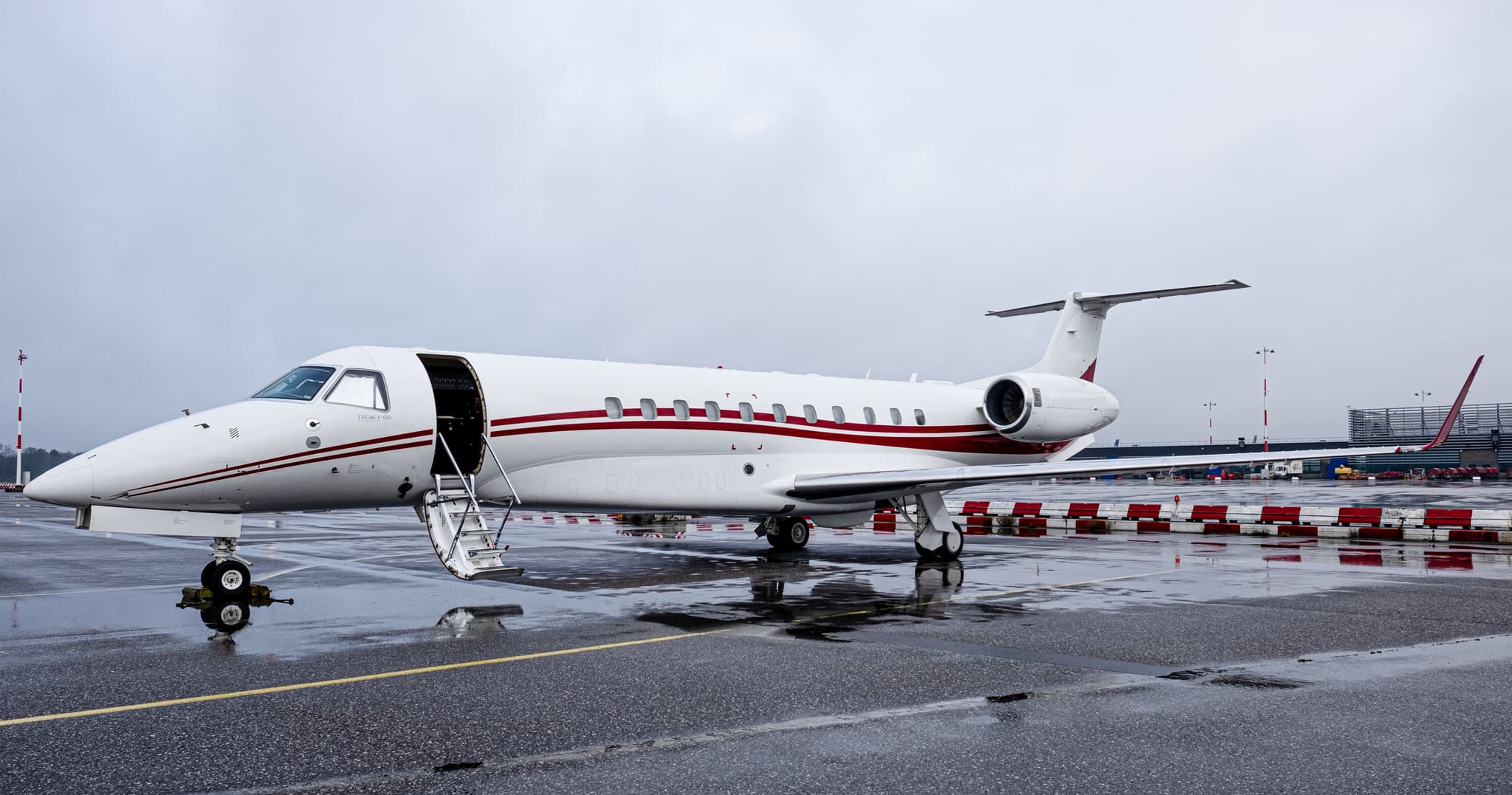 Thu, Nov 5in 2 daysLuxorHELX · Luxor International AirportAthensLGAV · Eleftherios Venizelos International AirportLegacy 65013—On request5NovLuxor → AthensHELX → LGAV · in 2 daysLegacy 650 · 13 seatsOn request
- Thu, Nov 5in 2 daysLuxorHELX · Luxor International AirportJebel AliOMDW · Al Maktoum International AirportEmbraer Legacy 650133h€14,7475NovLuxor → Jebel AliHELX → OMDW · in 2 daysEmbraer Legacy 650 · 13 seats · 3h€14,747
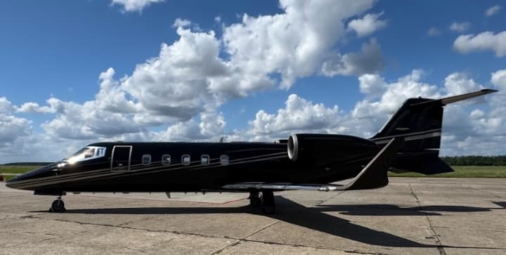 Sat, Nov 7in 4 daysLuxorHELX · Luxor International AirportThessalonikiLGTS · Thessaloniki Macedonia International AirportLearjet 60XR6—On request7NovLuxor → ThessalonikiHELX → LGTS · in 4 daysLearjet 60XR · 6 seatsOn request
 Tue, Nov 10in 7 daysLuxorHELX · Luxor International AirportQism AswanHESN · Aswan International AirportCitation Sovereign+9—On request10NovLuxor → Qism AswanHELX → HESN · in 7 daysCitation Sovereign+ · 9 seatsOn request
 Sat, Dec 2604:00LuxorHELX · Luxor International AirportKlagenfurt am WörtherseeLOWK · Klagenfurt AirportBombardier Challenger 35008—$44,28326DecLuxor → Klagenfurt am WörtherseeHELX → LOWK · 04:00Bombardier Challenger 3500 · 8 seats$44,283
 HELX · Luxor International Airport
 LGAV · Eleftherios Venizelos International Airport
 OMDW · Al Maktoum International Airport
 LOWK · Klagenfurt Airport
* Total price incl. 10% service fee, converted to your selected currency. Price subject to operator confirmation.
Empty legs to HELX
5 arrivals available
 Wed, Nov 4TomorrowIstanbulLTBA · Ataturk International AirportLuxorHELX · Luxor International AirportGlobal 800014—On request4NovIstanbul → LuxorLTBA → HELX · TomorrowGlobal 8000 · 14 seatsOn request
- Wed, Nov 408:10BakirkoyLTBA · Istanbul Ataturk AirportLuxorHELX · Luxor International AirportBeechcraft Hawker 900XP8—$30,6904NovBakirkoy → LuxorLTBA → HELX · 08:10Beechcraft Hawker 900XP · 8 seats$30,690
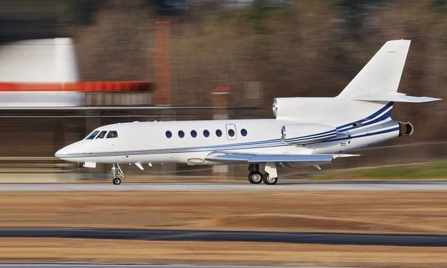 Fri, Nov 27in 24 daysQism AswanHESN · Aswan International AirportLuxorHELX · Luxor International AirportFalcon 50EX9—$5,95127NovQism Aswan → LuxorHESN → HELX · in 24 daysFalcon 50EX · 9 seats$5,951
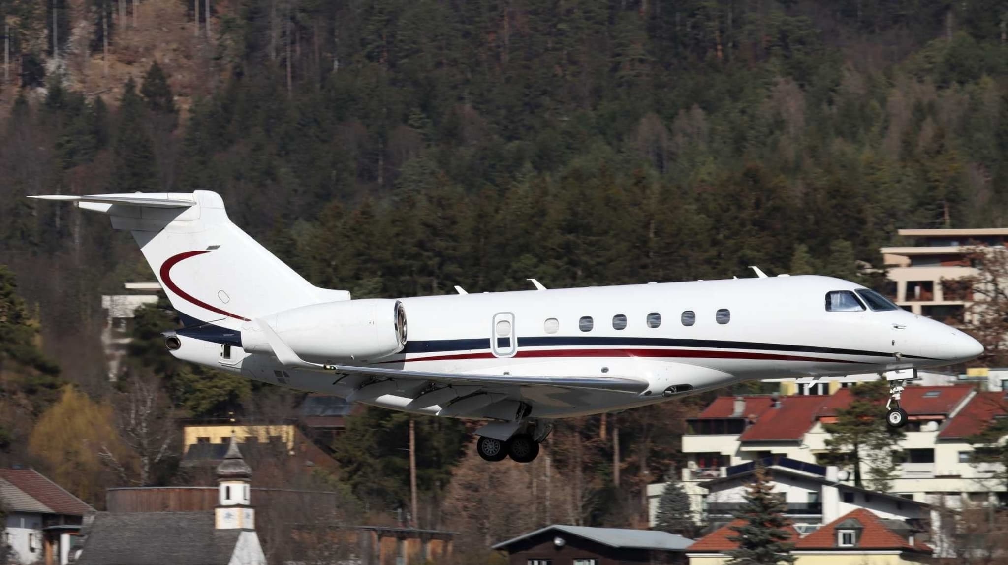 Tue, Dec 29in 56 daysBeirutOLBA · Beirut Rafic Hariri International AirportLuxorHELX · Luxor International AirportLegacy 50010—On request29DecBeirut → LuxorOLBA → HELX · in 56 daysLegacy 500 · 10 seatsOn request
 Thu, Dec 31in 58 daysQism AswanHESN · Aswan International AirportLuxorHELX · Luxor International AirportChallenger 60510—On request31DecQism Aswan → LuxorHESN → HELX · in 58 daysChallenger 605 · 10 seatsOn request
 LTBA · Ataturk International Airport
 OLBA · Beirut Rafic Hariri International Airport
* Total price incl. 10% service fee, converted to your selected currency. Price subject to operator confirmation.
Map: Luxor Airport
View the location of Luxor – LXR/HELX. Zoom in to explore the area around the airport.
About the airport
Luxor International Airport (LXR/HELX) is the key private jet gateway for Luxor. PrivJet gives you instant access to charter flights and empty legs: fast, discreet and globally connected.
HELX airport FAQ
Are there any restrictions at Luxor airport (HELX) today?
There is currently 1 valid NOTAM for Luxor (HELX). Affected: Taxiway: closed. For information only, not for flight planning or operational use. Always rely on an official pre-flight briefing. This list may be incomplete or out of date.
What is the weather at Luxor airport (HELX)?
According to the latest weather report for HELX (METAR, 03 Nov, 11:00 UTC): Good visual conditions (VFR). Wind 4 kt (7 km/h) from northeast (50°), visibility 10 km or more, temperature 35 °C (dew point 5 °C). For information only, not for flight planning. Weather can change quickly; always rely on official reports.
How long are the runways at Luxor airport (HELX)?
Luxor (HELX) has one runway: runway 02/20 with 3,000 m (9,843 ft), asphalt.
What are the radio frequencies at Luxor airport (HELX)?
Frequencies at HELX: Tower 119.9 MHz and Ground 121.9 MHz. For information only. Always rely on the published AIP.
What are the airport codes of Luxor International Airport?
The ICAO code is HELX and the IATA code is LXR. ICAO codes are used by air traffic control and pilots, e.g. in flight plans; IATA codes appear on tickets and baggage tags.
What is the elevation of HELX airport?
Luxor International Airport sits at 294 ft (90 m) above sea level. Local time zone: Africa/Cairo.
Can I fly to HELX by private jet?
Whether a private jet can operate into Luxor International Airport depends on runway length, opening hours, customs and immigration rules as well as slot and handling availability, among other things. PrivJet checks this with the operating carrier for every request.
Are there empty legs from or to HELX?
There are currently 5 empty legs departing from and 5 arriving at Luxor International Airport. Empty legs are repositioning flights at heavily reduced prices; the list is updated several times a day.