Bedford Laurence G Hanscom Field Airport (KBED / BED)
Empty legs and charters from Bedford
KBED airport at a glance
- ICAO code
- KBED
- IATA code
- BED
- City
- Bedford
- Region
- Massachusetts
- Country
- United States
- Elevation
- 133 ft (41 m)
- Time zone
- America/New York (UTC-5)
- Coordinates
- 42.4700° N, 71.2890° W
- Empty legs from
- 100
- Empty legs to
- 100
Private jet terminal & FBOs at Bedford Laurence G Hanscom Field
- Signature Aviation BED180 Hanscom Drive, Bedford, MA 01730
- Atlantic Aviation BED777 Virginia Road, Concord, MA 01742
Weather & airport info KBED
Current weather
Good visual conditions (VFR)observed 03 Nov, 02:51 UTC- Wind
- 5 kt (9 km/h) from southwest (220°)
- Visibility
- 10 km or more
- Clouds
- no significant clouds
- Temperature
- 13 °C (dew point 2 °C)
- Pressure (QNH)
- 1,025 hPa
Original weather report (METAR)
METAR KBED 030251Z 22005KT 10SM CLR 13/02 A3025 RMK AO2 SLP255 T01330017 58005 $
Forecast (TAF)
- 03 Nov, 00:00–04:00 UTC5 kt (9 km/h) from southwest (220°) · visibility 10 km or more · no significant clouds
- 03 Nov, 04:00–00:00 UTCfrom4 kt (7 km/h) from south-southwest (210°) · visibility 10 km or more · broken clouds at 25,000 ft
Original forecast (TAF)
TAF KBED 022320Z 0300/0324 22005KT P6SM SKC FM030400 21004KT P6SM BKN250
Airport
- Elevation
- 133 ft (41 m)
- Sunrise / Sunset
- 06:20 / 16:36 local time
Runways
| Runway | Length | Surface | Lighted |
|---|---|---|---|
| 11/29 | 2,137 m (7,011 ft) | asphalt | yes |
| 05/23 | 1,557 m (5,107 ft) | asphalt | yes |
Radio frequencies
- ATIS: 124.6
- Clearance: 121.85
- CTAF: 118.5
- Ground: 121.7
- Tower: 118.5
- UNICOM: 122.95
For information only, not for flight planning. Weather can change quickly; always rely on official reports. Sources: aviationweather.gov (NOAA), OurAirports.
Airport map KBED
Full screen →Runways white, taxiways yellow with designators, closed taxiways and runways per NOTAM in red.
Closed per NOTAM: TWY E5
Official charts (FAA)
Cycle 2611, valid until 0901Z 11/26/26
Airport diagram (FAA)
Airport diagram (1)
Instrument approaches (5)
Departure procedures (2)
Minimums (2)
Hot spots (1)
LAHSO (1)
For information only, not for navigation. Always use current official charts and NOTAMs.
Current NOTAMs for KBED(16)
NOTAMs (Notices to Air Missions) announce short-term changes at an airport: closed runways or taxiways, unserviceable approach aids, obstacles, airspace restrictions.
- ClosedRunway: closedA2917/26· from 03 Nov, 10:00 UTC · until 03 Nov, 12:00 UTC
Runway 11/29 at Laurence G Hanscom Field Airport is closed. It can only be used with one hour prior permission required by calling 617-212-6592.
Show original text
RWY 11/29 CLSD EXC 1HR PPR 617-212-6592
A2917/26 NOTAMN
Q) KZBW/QMRLC////000/999/4228N07117W005
A) KBED
B) 2611031000
C) 2611031200
E) RWY 11/29 CLSD EXC 1HR PPR 617-212-6592
- Out of serviceProcedure4713/26· from 03 Nov, 13:00 UTC · until 03 Nov, 20:00 UTC
The PVD VOR/DME, a navigation system that guides aircraft to and from airports, is out of service. Therefore, a DME system is required for the HANSCOM FIVE DEPARTURE Standard Departure Route (SID), unless the aircraft has a suitable RNAV system with GPS.
Show original text
SID LAURENCE G HANSCOM FLD, BEDFORD, MA. HANSCOM FIVE DEPARTURE... NOTE: SSOXS DEPARTURE DME REQUIRED EXCEPT FOR AIRCRAFT EQUIPPED WITH SUITABLE RNAV SYSTEM WITH GPS, PVD VOR/DME OUT OF SERVICE. 2611031300-2611032000EST
Q) KZBW/undefined/NBO/A/000/999/4228N07117W005
A) KBED
B) 2603030011
C) 2610130011EST
E) BED LAURENCE G HANSCOM FLD, BEDFORD, MA.
HANSCOM FIVE DEPARTURE...
NOTE: SSOXS DEPARTURE DME REQUIRED EXCEPT FOR AIRCRAFT EQUIPPED WITH SUITABLE RNAV SYSTEM WITH GPS,
PVD VOR/DME U/S.
- Out of serviceStandard instrument departure: changedA2916/26· from 03 Nov, 13:00 UTC · until 03 Nov, 20:00 UTC
For the standard departure route (SID) HANSCOM FIVE DEPARTURE, a DME system is required because the PVD VOR/DME system is out of service. This does not apply to aircraft equipped with a suitable RNAV system with GPS.
Show original text
SID LAURENCE G HANSCOM FLD, BEDFORD, MA. HANSCOM FIVE DEPARTURE... NOTE: SSOXS DEPARTURE DME REQUIRED EXCEPT FOR AIRCRAFT EQUIPPED WITH SUITABLE RNAV SYSTEM WITH GPS, PVD VOR/DME OUT OF SERVICE.
A2916/26 NOTAMN
Q) KZBW/QPDCH/I/NBO/A/000/999/4228N07117W005
A) KBED
B) 2611031300
C) 2611032000
E) SID LAURENCE G HANSCOM FLD, BEDFORD, MA. HANSCOM FIVE DEPARTURE... NOTE: SSOXS DEPARTURE DME REQUIRED EXCEPT FOR AIRCRAFT EQUIPPED WITH SUITABLE RNAV SYSTEM WITH GPS, PVD VOR/DME OUT OF SERVICE.
- Out of serviceObstacle lights: unserviceableA2909/26· until 13 Nov, 21:16 UTC
A tower 1.3 nautical miles east of the airport has a light that is out of service. Its top is 173 feet above sea level, 57 feet above ground.
Show original text
TOWER LGT (ASN 2021-ANE-7141-O 422803N0711533W (1.3NM E BED) 173FT (57FT AGL) U/S
A2909/26 NOTAMN
Q) KZBW/QOLAS/IV/M/AE/000/999/4228N07115W001
A) KBED
B) 2610302116
C) 2611132116
E) TOWER LGT (ASN 2021-ANE-7141-OE) 422803N0711533W (1.3NM E BED) 173FT (57FT AGL) U/S
- Out of serviceObstacle lights: unserviceableA2907/26· until 13 Nov, 21:15 UTC
A tower 1.3 nautical miles east of the airport has a light that is out of service. Its top is 175 feet above sea level, 61 feet above ground.
Show original text
TOWER LGT (ASN 2021-ANE-7143-O 422809N0711531W (1.3NM E BED) 175FT (61FT AGL) U/S
A2907/26 NOTAMN
Q) KZBW/QOLAS/IV/M/AE/000/999/4228N07115W001
A) KBED
B) 2610302115
C) 2611132115
E) TOWER LGT (ASN 2021-ANE-7143-OE) 422809N0711531W (1.3NM E BED) 175FT (61FT AGL) U/S
- Out of serviceObstacle lights: unserviceableA2905/26· until 13 Nov, 21:08 UTC
Tower light (ASN 2021-ANE-7138-O (1.4 NM east of BED) 177 ft above sea level (61 ft above ground) out of service
Show original text
TOWER LGT (ASN 2021-ANE-7138-O 422745N0711534W (1.4NM E BED) 177FT (61FT AGL) U/S
A2905/26 NOTAMN
Q) KZBW/QOLAS/IV/M/AE/000/999/4227N07115W001
A) KBED
B) 2610302108
C) 2611132108
E) TOWER LGT (ASN 2021-ANE-7138-OE) 422745N0711534W (1.4NM E BED) 177FT (61FT AGL) U/S
- ClosedTaxiway: closedA2897/26· until 27 Nov, 23:00 UTC
Taxiway E between runway 05/23 and taxiway M is closed.
Show original text
TWY E BTN RWY 05/23 AND TWY M CLSD
A2897/26 NOTAMN
Q) KZBW/QMXLC////000/999/4228N07117W005
A) KBED
B) 2610300324
C) 2611272300
E) TWY E BTN RWY 05/23 AND TWY M CLSD
- Out of serviceTaxiway edge lights: limited toA2893/26· until 20 Nov, 23:00 UTC
Taxiway J edge lighting is out of service, except for medium intensity.
Show original text
TWY J EDGE LGT U/S EXC MEDIUM INTST
A2893/26 NOTAMN
Q) KZBW/QLYLT////000/999/4228N07117W005
A) KBED
B) 2610291757
C) 2611202300
E) TWY J EDGE LGT U/S EXC MEDIUM INTST
8 more NOTAMs
- ClosedTaxiway: closedA2891/26· until 30 Nov, 23:00 UTC
Taxiway E5 closed
Show original text
TWY E5 CLSD
A2891/26 NOTAMN
Q) KZBW/QMXLC////000/999/4228N07117W005
A) KBED
B) 2610291542
C) 2611302300
E) TWY E5 CLSD
- Out of serviceObstacle10/141· until 30 Nov, 19:00 UTC
An obstacle, a pole light 0.18 nautical miles southeast of the approach end of runway 05, is out of service. Its top is 183 feet above sea level, 55 feet above ground.
Show original text
OBST POLE LGT (ASN UNKNOWN) 422743N0711735W (0.18NM SE APCH END RWY 05) 183FT (55FT AGL) U/S
- Out of serviceTaxiway10/140· until 26 Nov, 19:00 UTC
The taxiway M holding position sign light for the approach end of runway 11 is out of service.
Show original text
TWY M HLDG PSN SIGN FOR APCH END RWY 11 LGT U/S
- Out of serviceObstacle lights: unserviceableA2765/26· until 27 Nov, 20:45 UTC
A tower light 4.9 nautical miles east of the airport is out of service. Its top is 649 ft above sea level, 305 ft above ground.
Show original text
TOWER LGT (ASR 1019307) 422719.80N0711045.90W (4.9NM E BED) 649FT (305FT AGL) U/S
A2765/26 NOTAMN
Q) KZBW/QOLAS/IV/M/E/000/999/4227N07110W001
A) KBED
B) 2610132045
C) 2611272045
E) TOWER LGT (ASR 1019307) 422719.80N0711045.90W (4.9NM E BED) 649FT (305FT AGL) U/S
- ClosedApron: closedA2737/26· until 30 Nov, 19:00 UTC
The apron blast pad ramp is closed.
Show original text
APRON BLAST PAD RAMP CLSD
A2737/26 NOTAMN
Q) KZBW/QMNLC////000/999/4228N07117W005
A) KBED
B) 2610070840
C) 2611301900
E) APRON BLAST PAD RAMP CLSD
- NoticeOtherA2894/26· until 03 Nov, 19:00 UTC
The taxiway E edge lighting at the East Ramp is not standard. This may affect the visibility of the taxiway.
Show original text
TWY E EDGE LGT AT EAST RAMP NOT STD
A2894/26 NOTAMN
Q) KZBW/QXXXX////000/999/4228N07117W005
A) KBED
B) 2610300250
C) 2611031900
E) TWY E EDGE LGT AT EAST RAMP NOT STD
- NoticeTaxiway10/085· until 30 Nov, 19:00 UTC
The holding position markings on taxiway M for the approach end of runway 11 are not standard. This means the ground markings for aircraft at this location are unusual.
Show original text
TWY M HLDG PSN MARKINGS FOR APCH END RWY 11 NOT STD
- NoticeTaxiway10/084· until 30 Nov, 19:00 UTC
The edge markings for taxiway M between taxiway E and the approach end of runway 11 are not standard. This means the markings might look different than expected.
Show original text
TWY M EDGE MARKINGS BTN TWY E AND APCH END RWY 11 NOT STD
For information only, not for flight planning or operational use. Always rely on an official pre-flight briefing. This list may be incomplete or out of date. Explanations and expanded abbreviations are generated automatically. The original text is authoritative. Source: FAA NOTAM Management Service (SWIM).
Private jet traffic in Laurence G Hanscom Field (last 30 days)
- Arrivals
- 2,235
- Departures
- 2,140
- Different jets
- 1,332
Most frequent origins: Teterboro Airport (255), Westchester County Airport (75), General Edward Lawrence Logan International Airport (53), Washington Dulles International Airport (46), Portsmouth International at Pease Airport (30).
Most frequent destinations: Teterboro Airport (218), Westchester County Airport (107), Nantucket Memorial Airport (61), General Edward Lawrence Logan International Airport (40), Morristown Municipal Airport (38).
Most common aircraft types: Pilatus PC-12 (436), Embraer Phenom 300 (431), Bombardier Challenger 600/650 (287), Bombardier Challenger 350/3500 (267), Cessna Citation Excel/XLS (244).
Monday is the busiest day.
Our own analysis of public ADS-B signals from business jets. Not every flight is received, and jets with a removal request are excluded.
Charter operators based here
Operators with a base at this airport.
- Solairus AviationVan Nuys (KVNY) · Turboprop, Light jet, Midsize jet
- Executive Jet ManagementWhite Plains (Westchester County) (KHPN) · Light jet, Midsize jet, Super midsize jet
- Jet Aviation Flight ServicesTeterboro (KTEB) · Light jet, Super midsize jet, Heavy jet
- Elevate JetLight jet, Super midsize jet, Heavy jet
- Waltzing Matilda AviationLight jet, Midsize jet, Super midsize jet
- Cape Clear AviationHeavy jet
- Above The Hub Flight ServicesHelicopter
- Boston MedFlightLight jet, Helicopter
Empty legs from KBED
100 departures available
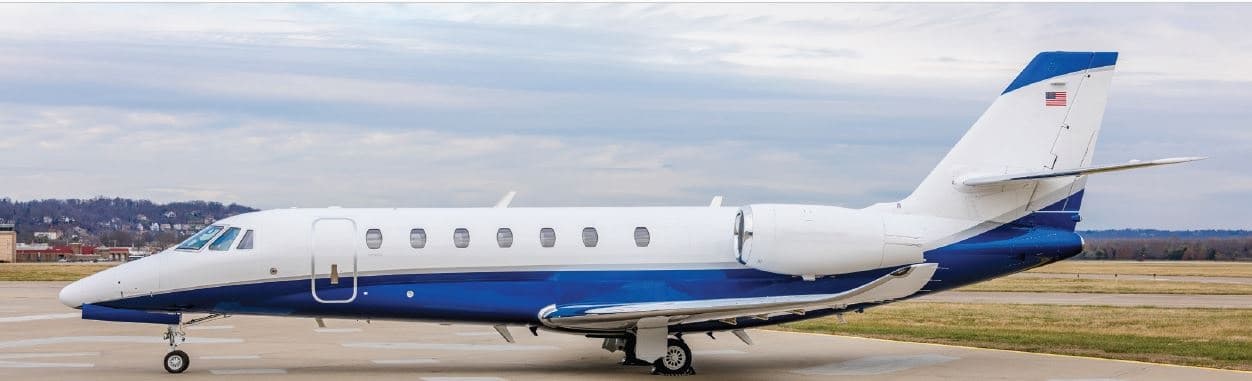 Tue, Nov 3TodayBedfordKBED · Laurence G Hanscom FieldNew YorkKTEB · Teterboro AirportCitation Sovereign+9—On request3NovBedford → New YorkKBED → KTEB · TodayCitation Sovereign+ · 9 seatsOn request
 Tue, Nov 3TodayBedfordKBED · Laurence G Hanscom FieldPortlandKPWM · Portland International Jetport AirportLearjet 607—$11,2203NovBedford → PortlandKBED → KPWM · TodayLearjet 60 · 7 seats$11,220
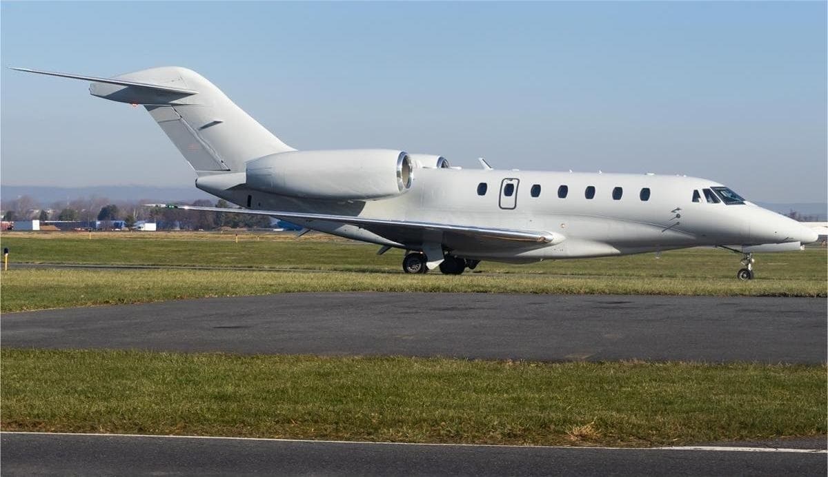 Tue, Nov 3TodayBedfordKBED · Laurence G Hanscom FieldRocklandKRKD · Knox County Regional AirportCitation X8—$14,1353NovBedford → RocklandKBED → KRKD · TodayCitation X · 8 seats$14,135
- Tue, Nov 318:42BedfordKBED · Laurence G. Hanscom FieldTorontoCYYZ · Lester B. Pearson IntlBombardier Learjet 607—$13,6133NovBedford → TorontoKBED → CYYZ · 18:42Bombardier Learjet 60 · 7 seats$13,613
- Tue, Nov 300:21BedfordKBED · Laurence G. Hanscom FieldTeterboroKTEBEmbraer Phenom 1006—On request3NovBedford → TeterboroKBED → KTEB · 00:21Embraer Phenom 100 · 6 seatsOn request
- Tue, Nov 3TodayBedfordKBED · Laurence G Hanscom FieldTeterboroKTEB · Teterboro AirportEmbraer Phenom 300754mOn request3NovBedford → TeterboroKBED → KTEB · TodayEmbraer Phenom 300 · 7 seats · 54mOn request
 Tue, Nov 3TodayBedfordKBED · Laurence G Hanscom FieldTeterboroKTEB · Teterboro AirportPhenom 1005—On request3NovBedford → TeterboroKBED → KTEB · TodayPhenom 100 · 5 seatsOn request
- Tue, Nov 3TodayBedfordKBED · Laurence G Hanscom FieldTeterboroKTEB · Teterboro AirportBombardier Challenger 30081h€3,9423NovBedford → TeterboroKBED → KTEB · TodayBombardier Challenger 300 · 8 seats · 1h€3,942
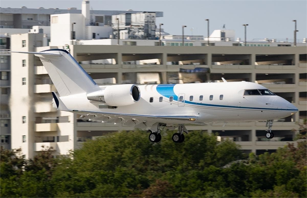 Wed, Nov 4TomorrowBedfordKBED · Laurence G Hanscom FieldAugustaKAGS · Augusta Regional At Bush FieldChallenger 60412—$39,5544NovBedford → AugustaKBED → KAGS · TomorrowChallenger 604 · 12 seats$39,554
 KBED · Laurence G Hanscom Field
 CYYZ · Lester B. Pearson Intl
* Total price incl. 10% service fee, converted to your selected currency. Price subject to operator confirmation.
Empty legs to KBED
100 arrivals available
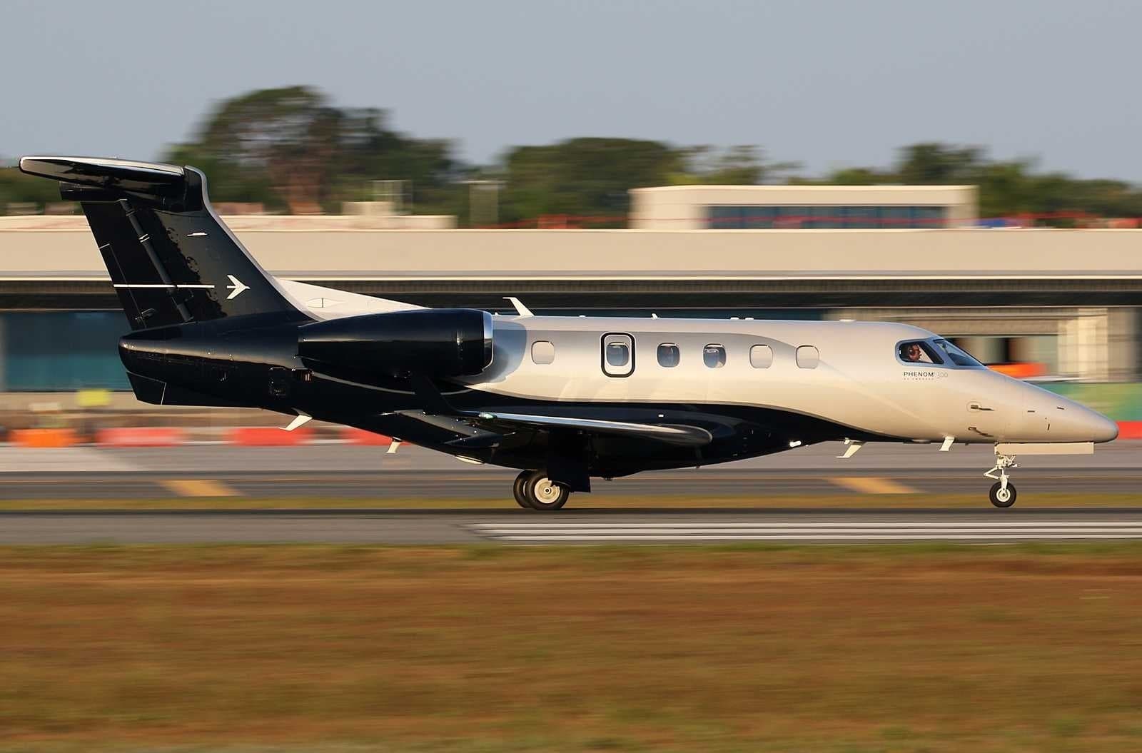 Tue, Nov 3TodaySarasotaKSRQ · Sarasota Bradenton International AirportBedfordKBED · Laurence G Hanscom FieldPhenom 3008—$20,9643NovSarasota → BedfordKSRQ → KBED · TodayPhenom 300 · 8 seats$20,964
 Tue, Nov 3TodayPhiladelphiaKTTN · Trenton Mercer AirportBedfordKBED · Laurence G Hanscom FieldFalcon 900LX EASy II13—On request3NovPhiladelphia → BedfordKTTN → KBED · TodayFalcon 900LX EASy II · 13 seatsOn request
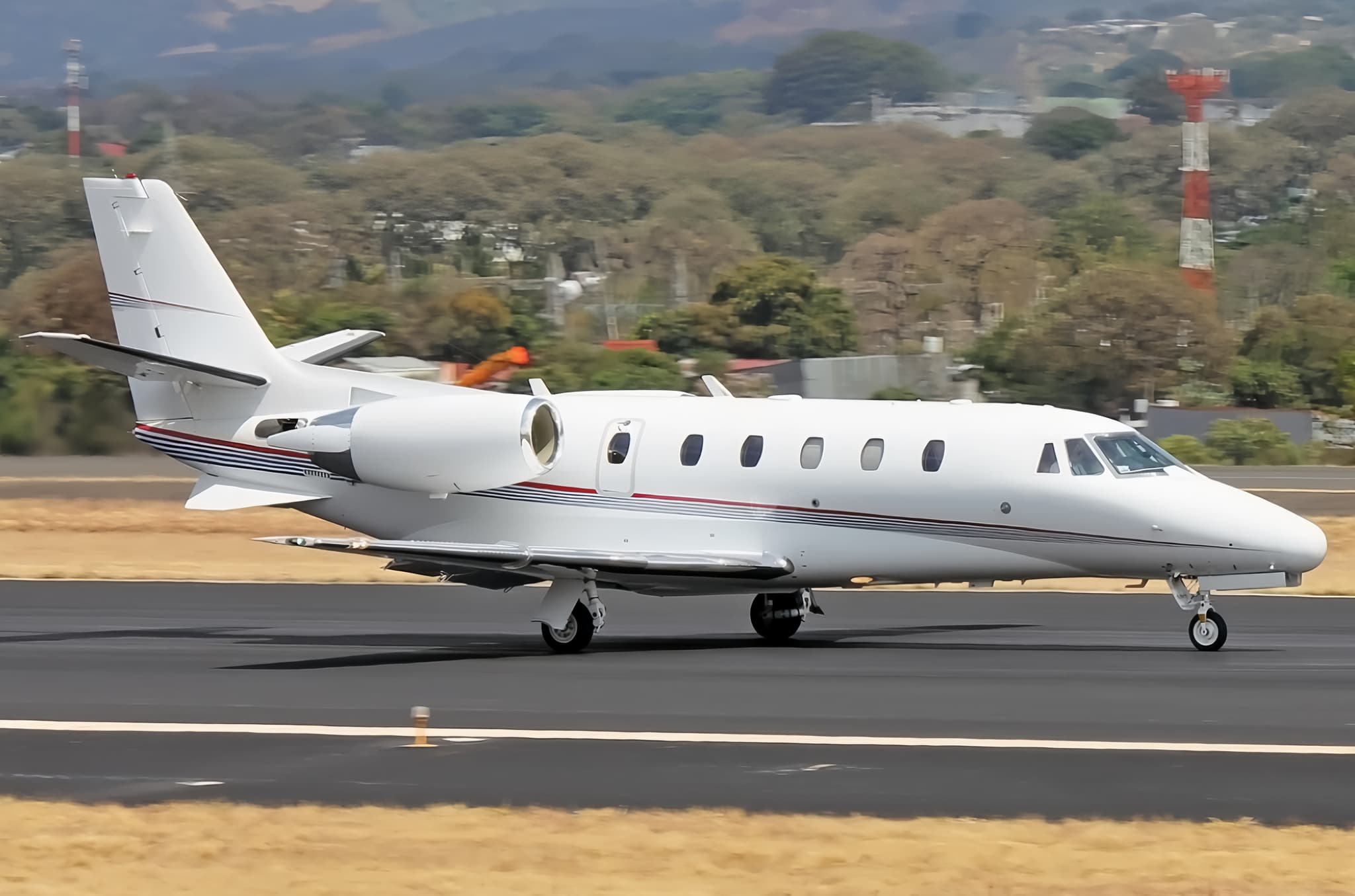 Tue, Nov 3TodayNew YorkKTEB · Teterboro AirportBedfordKBED · Laurence G Hanscom FieldCitation XLS8—$20,7903NovNew York → BedfordKTEB → KBED · TodayCitation XLS · 8 seats$20,790
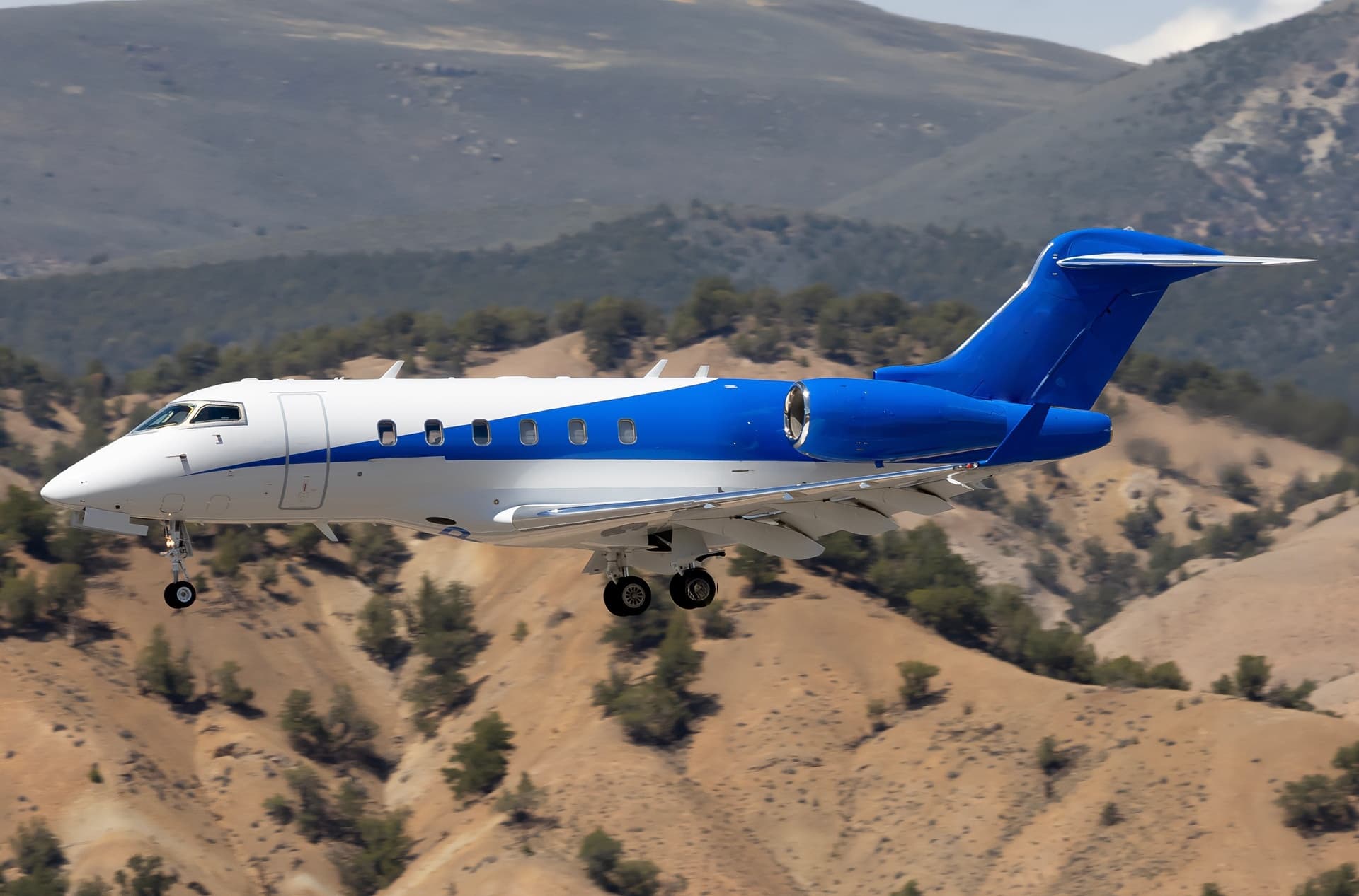 Tue, Nov 3TodayGreensboroKGSO · Piedmont Triad International AirportBedfordKBED · Laurence G Hanscom FieldChallenger 3008—On request3NovGreensboro → BedfordKGSO → KBED · TodayChallenger 300 · 8 seatsOn request
 Tue, Nov 313:27TeterboroKTEB · Teterboro AirportBedfordKBED · Laurence G Hanscom FieldEmbraer Praetor 600130m$25,5643NovTeterboro → BedfordKTEB → KBED · 13:27Embraer Praetor 600 · 1 seat · 30m$25,564
- Tue, Nov 315:45Fort LauderdaleKFLL · Hollywood IntlBedfordKBED · Laurence G. Hanscom FieldEmbraer Praetor 6009—$29,9483NovFort Lauderdale → BedfordKFLL → KBED · 15:45Embraer Praetor 600 · 9 seats$29,948
- Tue, Nov 3TodayFort PierceKFPR · Treasure Coast International AirportBedfordKBED · Laurence G Hanscom FieldBeechcraft Hawker 800XP82h 48mOn request3NovFort Pierce → BedfordKFPR → KBED · TodayBeechcraft Hawker 800XP · 8 seats · 2h 48mOn request
- Tue, Nov 3TodaySavannahKSAV · Savannah Hilton Head International AirportBedfordKBED · Laurence G Hanscom FieldCitation X12—$10,6433NovSavannah → BedfordKSAV → KBED · TodayCitation X · 12 seats$10,643
- Tue, Nov 3TodayVan NuysKVNY · Van Nuys AirportBedfordKBED · Laurence G Hanscom FieldCitation X12—$30,7453NovVan Nuys → BedfordKVNY → KBED · TodayCitation X · 12 seats$30,745
* Total price incl. 10% service fee, converted to your selected currency. Price subject to operator confirmation.
Map: Bedford Airport
View the location of Bedford – BED/KBED. Zoom in to explore the area around the airport.
About the airport
Laurence G Hanscom Field (BED/KBED) is the key private jet gateway for Bedford. PrivJet gives you instant access to charter flights and empty legs: fast, discreet and globally connected.
KBED airport FAQ
Are there any restrictions at Bedford airport (KBED) today?
There are currently 13 valid NOTAMs for Bedford (KBED). Affected: Taxiway: closed; Apron: closed; Obstacle lights: unserviceable; Taxiway edge lights: limited to and 2 more. 3 more NOTAMs start in the coming days. For information only, not for flight planning or operational use. Always rely on an official pre-flight briefing. This list may be incomplete or out of date.
What is the weather at Bedford airport (KBED)?
According to the latest weather report for KBED (METAR, 03 Nov, 02:51 UTC): Good visual conditions (VFR). Wind 5 kt (9 km/h) from southwest (220°), visibility 10 km or more, temperature 13 °C (dew point 2 °C). For information only, not for flight planning. Weather can change quickly; always rely on official reports.
How long are the runways at Bedford airport (KBED)?
Bedford (KBED) has 2 runways: runway 11/29 with 2,137 m (7,011 ft), asphalt and runway 05/23 with 1,557 m (5,107 ft), asphalt. The longest is 2,137 m.
What are the radio frequencies at Bedford airport (KBED)?
Frequencies at KBED: Tower 118.5 MHz, Ground 121.7 MHz and ATIS 124.6 MHz. For information only. Always rely on the published AIP.
What are the airport codes of Laurence G Hanscom Field?
The ICAO code is KBED and the IATA code is BED. ICAO codes are used by air traffic control and pilots, e.g. in flight plans; IATA codes appear on tickets and baggage tags.
What is the elevation of KBED airport?
Laurence G Hanscom Field sits at 133 ft (41 m) above sea level. Local time zone: America/New York.
Where do private jets land at Bedford Laurence G Hanscom Field?
KBED has 2 private jet terminals or FBOs: Signature Aviation BED and Atlantic Aviation BED. Your flight confirmation says which one your operator uses.
Can I fly to KBED by private jet?
Whether a private jet can operate into Laurence G Hanscom Field depends on runway length, opening hours, customs and immigration rules as well as slot and handling availability, among other things. PrivJet checks this with the operating carrier for every request.
Are there empty legs from or to KBED?
There are currently 100 empty legs departing from and 100 arriving at Laurence G Hanscom Field. Empty legs are repositioning flights at heavily reduced prices; the list is updated several times a day.