Dallas Love Field Airport (KDAL / DAL)
Empty legs and charters from Dallas
KDAL airport at a glance
- ICAO code
- KDAL
- IATA code
- DAL
- City
- Dallas
- Region
- Texas
- Country
- United States
- Elevation
- 487 ft (148 m)
- Time zone
- America/Chicago (UTC-6)
- Coordinates
- 32.8471° N, 96.8518° W
- Empty legs from
- 100
- Empty legs to
- 100
Private jet terminal & FBOs at Dallas Love Field
- Signature Aviation DAL Terminal 18001 Lemmon Avenue, Dallas, TX 75209
- Signature Aviation DAL Terminal 27515 Lemmon Avenue, Dallas, TX 75209
- Signature Aviation DAL Terminal 38321 Lemmon Avenue, Dallas, TX 75209
- Signature Aviation DAL Terminal 47701 Lemmon Avenue, Dallas, TX 75209
- Atlantic Aviation DAL3232 Love Field Drive, Dallas, TX 75235
Weather & airport info KDAL
Current weather
No current weather report is available for this airport.
Airport
- Elevation
- 487 ft (148 m)
- Sunrise / Sunset
- 06:46 / 17:34 local time
Runways
| Runway | Length | Surface | Lighted |
|---|---|---|---|
| 13R/31L | 2,682 m (8,800 ft) | concrete | yes |
| 13L/31R | 2,363 m (7,752 ft) | concrete | yes |
Radio frequencies
- Approach: 124.3
- ATIS: 120.15
- Clearance: 127.9
- Ground: 121.75
- Tower: 118.7
- UNICOM: 122.95
For information only, not for flight planning. Weather can change quickly; always rely on official reports. Sources: aviationweather.gov (NOAA), OurAirports.
Airport map KDAL
Full screen →Runways white, taxiways yellow with designators, closed taxiways and runways per NOTAM in red.
Closed per NOTAM: RWY 13L/31R
Official charts (FAA)
Cycle 2611, valid until 0901Z 11/26/26
Airport diagram (FAA)
Airport diagram (1)
Instrument approaches (18)
- ILS OR LOC RWY 13L
- ILS OR LOC RWY 13R
- ILS OR LOC RWY 31L
- ILS OR LOC RWY 31R
- ILS RWY 13L (SA CAT I - II)
- ILS RWY 31R (SA CAT I - II)
- RNAV (RNP) W RWY 13L
- RNAV (RNP) W RWY 13R
- RNAV (RNP) X RWY 13L
- RNAV (RNP) X RWY 13R
- RNAV (RNP) Z RWY 31L
- RNAV (RNP) Z RWY 31R
- RNAV (GPS) Y RWY 13L
- RNAV (GPS) Y RWY 13R
- RNAV (GPS) Y RWY 31L
- RNAV (GPS) Y RWY 31R
- RNAV (GPS) Z RWY 13L
- RNAV (GPS) Z RWY 13R
Departure procedures (43)
- BACHMAN TWO
- BACHMAN TWO, CONT.1
- BOTCH TWO (RNAV)
- BOTCH TWO (RNAV), CONT.1
- COYOTE FOUR
- COYOTE FOUR, CONT.1
- CURLO SIX (RNAV)
- CURLO SIX (RNAV), CONT.1
- DALLAS FOUR
- DALLAS FOUR, CONT.1
- EMMTT FOUR (RNAV)
- EMMTT FOUR (RNAV), CONT.1
- ESNYE SEVEN (RNAV)
- ESNYE SEVEN (RNAV), CONT.1
- GARLAND SIX
- GARLAND SIX, CONT.1
- JOE POOL EIGHT
- JOE POOL EIGHT, CONT.1
- KINGDOM FIVE
- KINGDOM FIVE, CONT.1
- KKITY FIVE (RNAV)
- KKITY FIVE (RNAV), CONT.1
- KRUMM ONE
- KRUMM ONE, CONT.1
- KUSSO THREE (RNAV)
- KUSSO THREE (RNAV), CONT.1
- LNDRE FIVE (RNAV)
- LNDRE FIVE (RNAV), CONT.1
- LOVE SEVEN
- LOVE SEVEN, CONT.1
- RAMBL SIX (RNAV)
- RAMBL SIX (RNAV), CONT.1
- SNSET FOUR (RNAV)
- SNSET FOUR (RNAV), CONT.1
- SWTSR SEVEN (RNAV)
- SWTSR SEVEN (RNAV), CONT.1
- TEXOMA FIVE
- TEXOMA FIVE, CONT.1
- TRINITY EIGHT
- VENUS FOUR
- VENUS FOUR, CONT.1
- WORTH ONE
- WORTH ONE, CONT.1
Minimums (2)
For information only, not for navigation. Always use current official charts and NOTAMs.
Current NOTAMs for KDAL(11)
NOTAMs (Notices to Air Missions) announce short-term changes at an airport: closed runways or taxiways, unserviceable approach aids, obstacles, airspace restrictions.
- ClosedRunway: closedA3851/26· until 03 Nov, 11:15 UTC
Runway 13L/31R at Dallas Love Field airport is closed.
Show original text
RWY 13L/31R CLSD
A3851/26 NOTAMN
Q) KZFW/QMRLC////000/999/3250N09651W005
A) KDAL
B) 2611030500
C) 2611031115
E) RWY 13L/31R CLSD
- NoticeAirspace11/028· from 03 Nov, 20:30 UTC · until 04 Nov, 05:55 UTC
The airspace for unmanned aircraft systems (UAS) is closed within an area of 0.2 nautical miles radius, 3.8 nautical miles southwest of Dallas Love Field airport, from the surface to 400 feet above ground.
Show original text
AIRSPACE UAS WI AN AREA DEFINED AS 0.2NM RADIUS OF 324824N0965432W (3.8NM SW DAL) SFC-400FT AGL
- NoticeRunwayA3852/26· until 03 Nov, 14:00 UTC
Runway 13R surface condition 5/5/5 100 percent wet observed at 3 Nov 07:21 UTC.
Show original text
RWY 13R FICON 5/5/5 100 PCT WET OBS AT 2611030721.
A3852/26 NOTAMN
Q) KZFW/QMRXX////000/999/3250N09651W005
A) KDAL
B) 2611030721
C) 2611031400
E) RWY 13R FICON 5/5/5 100 PCT WET OBS AT 2611030721.
- NoticeTaxiway10/139· until 25 Nov, 21:00 UTC (estimated)
The holding position sign for the Instrument Landing System (ILS) on taxiway B7 is not standard.
Show original text
TWY B7 HLDG PSN SIGN FOR ILS NOT STD
- NoticeTaxiway10/125· until 30 Nov, 05:59 UTC
The taxiway A2 centerline markings for runway 13L/31R are not standard.
Show original text
TWY A2 CL MARKINGS FOR RWY 13L/31R NOT STD
- NoticeTaxiway10/124· until 30 Nov, 05:59 UTC
The taxiway M holding position sign for the Instrument Landing System (ILS) between taxiway M5 and taxiway B7 is not standard. The ILS guides aircraft to the runway in poor visibility.
Show original text
TWY M HLDG PSN SIGN FOR ILS BTN TWY M5 AND TWY B7 NOT STD
- NoticeDaylight markings10/123· permanent
The 6000 FT distance remaining sign on the left side of runway 13L is missing.
Show original text
RWY 13L 6000FT DIST REMAINING SIGN LEFT SIDE MISSING
10/123 NOTAMN
Q) KZFW/QMMXX/V/M/A/000/999/3250N09651W005
A) KDAL
B) 2610281010
C) PERM

E) RWY 13L 6000FT DIST REMAINING SIGN LEFT SIDE MISSING
- NoticeTaxiway10/104· until 12 Nov, 22:00 UTC
The in-pavement runway guard lights on taxiway A2 at runway 13L/31R are not standard.
Show original text
TWY A2 IN PAVEMENT RWY GUARD LGT AT RWY 13L/31R NOT STD
A3750/26 NOTAMN
Q) KZFW/QMXXX////000/999/3250N09651W005
A) KDAL
B) 2610221703
C) 2611122200
E) TWY A2 IN PAVEMENT RWY GUARD LGT AT RWY 13L/31R NOT STD
3 more NOTAMs
- NoticeTaxiwayA3750/26· until 12 Nov, 22:00 UTC
The in-pavement runway guard lights on taxiway A2 at runway 13L/31R are not standard.
Show original text
TWY A2 IN PAVEMENT RWY GUARD LGT AT RWY 13L/31R NOT STD
A3750/26 NOTAMN Q) KZFW/QMXXX////000/999/3250N09651W005 A) KDAL B) 2610221703 C) 2611122200 E) TWY A2 IN PAVEMENT RWY GUARD LGT AT RWY 13L/31R NOT STD
- NoticeInstrument approach procedure9843/26· until 15 Mar, 16:57 UTC (estimated)
For the RNAV (RNP) Z approach to runway 31R at Dallas Love Field, a temporary crane is present 4982 ft southeast of runway 31R. Its top is 608 ft above sea level. If the approach lighting system (ALS) is inoperative, the required visibilities increase.
Show original text
IAP DALLAS LOVE FLD, DALLAS, TX. RNAV (RNP) Z RWY 31R, ORIG-C... RNP 0.16 DA 847/HAT 360 ALL CATS. VIS RVR 3000 ALL CATS. RNP 0.30 DA 898/HAT 411 ALL CATS. FOR INOP ALS, INCREASE RNP 0.16 ALL CATS VISIBILITY TO RVR 5500 AND RNP 0.30 ALL CATS VISIBILITY TO RVR 6000. EXCEPT WHEN ADVISED BY ATCT THAT THIS CRANE IS DOWN. TEMPORARY CRANE, 608 MSL, 4982FT SE OF RWY 31R (2025-ASW-830-OE). 2610151657-2703151657EST
Q) KZFW/QPIXX/I/NBO/A/000/999/3250N09651W005
A) KDAL
B) 2608031758
C) 2703151758EST
E) DAL DALLAS LOVE FLD, DALLAS, TX.
RNAV (RNP) Z RWY 31R, ORIG-C...
RNP 0.16 DA 847/HAT 360 ALL CATS. VIS RVR 3000 ALL CATS.
RNP 0.30 DA 898/HAT 411 ALL CATS.
FOR INOP ALS, INCREASE RNP 0.16 ALL CATS VISIBILITY TO RVR 5500 AND RNP 0.30 ALL CATS VISIBILITY TO RVR 6000.
EXCEPT WHEN ADVISED BY ATCT THAT THIS CRANE IS DOWN.
TEMPORARY CRANE, 608 MSL, 4982FT SE OF RWY 31R (2025-ASW-830-OE).
- NoticeInstrument approach procedure: changedA3702/26· until 15 Mar, 16:57 UTC
For the RNAV (RNP) Z approach to runway 31R at Dallas Love Field, a temporary crane is present 4982 ft southeast of runway 31R. Its top is 608 ft above sea level. If the approach lighting system (ALS) is inoperative, the required visibilities increase.
Show original text
IAP DALLAS LOVE FLD, DALLAS, TX. RNAV (RNP) Z RWY 31R, ORIG-C... RNP 0.16 DA 847/HAT 360 ALL CATS. VIS RVR 3000 ALL CATS. RNP 0.30 DA 898/HAT 411 ALL CATS. FOR INOP ALS, INCREASE RNP 0.16 ALL CATS VISIBILITY TO RVR 5500 AND RNP 0.30 ALL CATS VISIBILITY TO RVR 6000. EXCEPT WHEN ADVISED BY ATCT THAT THIS CRANE IS DOWN. TEMPORARY CRANE, 608 MSL, 4982FT SE OF RWY 31R (2025-ASW-830-OE).
A3702/26 NOTAMN
Q) KZFW/QPICH/I/NBO/A/000/999/3250N09651W005
A) KDAL
B) 2610151657
C) 2703151657
E) IAP DALLAS LOVE FLD, DALLAS, TX. RNAV (RNP) Z RWY 31R, ORIG-C... RNP 0.16 DA 847/HAT 360 ALL CATS. VIS RVR 3000 ALL CATS. RNP 0.30 DA 898/HAT 411 ALL CATS. FOR INOP ALS, INCREASE RNP 0.16 ALL CATS VISIBILITY TO RVR 5500 AND RNP 0.30 ALL CATS VISIBILITY TO RVR 6000. EXCEPT WHEN ADVISED BY ATCT THAT THIS CRANE IS DOWN. TEMPORARY CRANE, 608 MSL, 4982FT SE OF RWY 31R (2025-ASW-830-OE).
For information only, not for flight planning or operational use. Always rely on an official pre-flight briefing. This list may be incomplete or out of date. Explanations and expanded abbreviations are generated automatically. The original text is authoritative. Source: FAA NOTAM Management Service (SWIM).
Private jet traffic in Dallas Love Field (last 30 days)
- Arrivals
- 3,831
- Departures
- 3,284
- Different jets
- 2,002
Most frequent origins: Austin Bergstrom International Airport (191), William P Hobby Airport (115), San Antonio International Airport (97), Teterboro Airport (88), Austin Executive Airport (58).
Most frequent destinations: Austin Bergstrom International Airport (159), William P Hobby Airport (118), San Antonio International Airport (78), Teterboro Airport (64), Sugar Land Regional Airport (53).
Most common aircraft types: Embraer Phenom 300 (770), Cessna Citation Latitude (508), Bombardier Challenger 350/3500 (430), Cessna Citation Excel/XLS (398), Embraer Legacy 450/Praetor 500 (375).
Our own analysis of public ADS-B signals from business jets. Not every flight is received, and jets with a removal request are excluded.
Charter operators based here
Operators with a base at this airport.
- Solairus AviationVan Nuys (KVNY) · Turboprop, Light jet, Midsize jet
- Executive Jet ManagementWhite Plains (Westchester County) (KHPN) · Light jet, Midsize jet, Super midsize jet
- Jet Edge InternationalVan Nuys (KVNY) · Midsize jet, Super midsize jet, Heavy jet
- Wheels UpDenver (Rocky Mountain Metropolitan) (KBJC) · Turboprop, Light jet, Midsize jet
- Jet Aviation Flight ServicesTeterboro (KTEB) · Light jet, Super midsize jet, Heavy jet
- Baker AviationFort Worth (Meacham International) (KFTW) · Super midsize jet
- Priester AviationChicago (Executive) (KPWK) · Turboprop, Light jet, Midsize jet
- Talon AirFarmingdale (Republic) (KFRG) · Midsize jet, Super midsize jet, Heavy jet
- Cirrus Aviation ServicesLas Vegas (Harry Reid) (KLAS) · Light jet, Midsize jet, Super midsize jet
- Wing Aviation Charter ServicesHouston (William P Hobby) (KHOU) · Turboprop, Light jet, Midsize jet
- Paradigm Jet ManagementAustin (Bergstrom) (KAUS) · Turboprop, Light jet, Midsize jet
- Fly TruHouston (David Wayne Hooks Memorial) (KDWH) · Light jet, Super midsize jet, Heavy jet
- American Jet InternationalHouston (William P Hobby) (KHOU) · Turboprop, Light jet, Midsize jet
- JSXTurboprop, Super midsize jet
- MAnextDallas (Addison) (KADS) · Light jet, Midsize jet, Super midsize jet
- Trinity Private Jet CharterLight jet, Midsize jet
- Leviate Air GroupLight jet, Midsize jet, Super midsize jet
- Century AviationMidsize jet, Super midsize jet
- Integrated Flight ResourcesChicago (Dupage) (KDPA) · Light jet, Midsize jet, Super midsize jet
- Business JetSuper midsize jet, Heavy jet
- Omni Private AviationTulsa International (KTUL) · Light jet
- ENG Aviation GroupLight jet, Midsize jet
- Mente AviationLight jet, Heavy jet
- Chairman AviationLight jet
- MLW AirHeavy jet
- Mountain Air CharterLight jet
Empty legs from KDAL
100 departures available
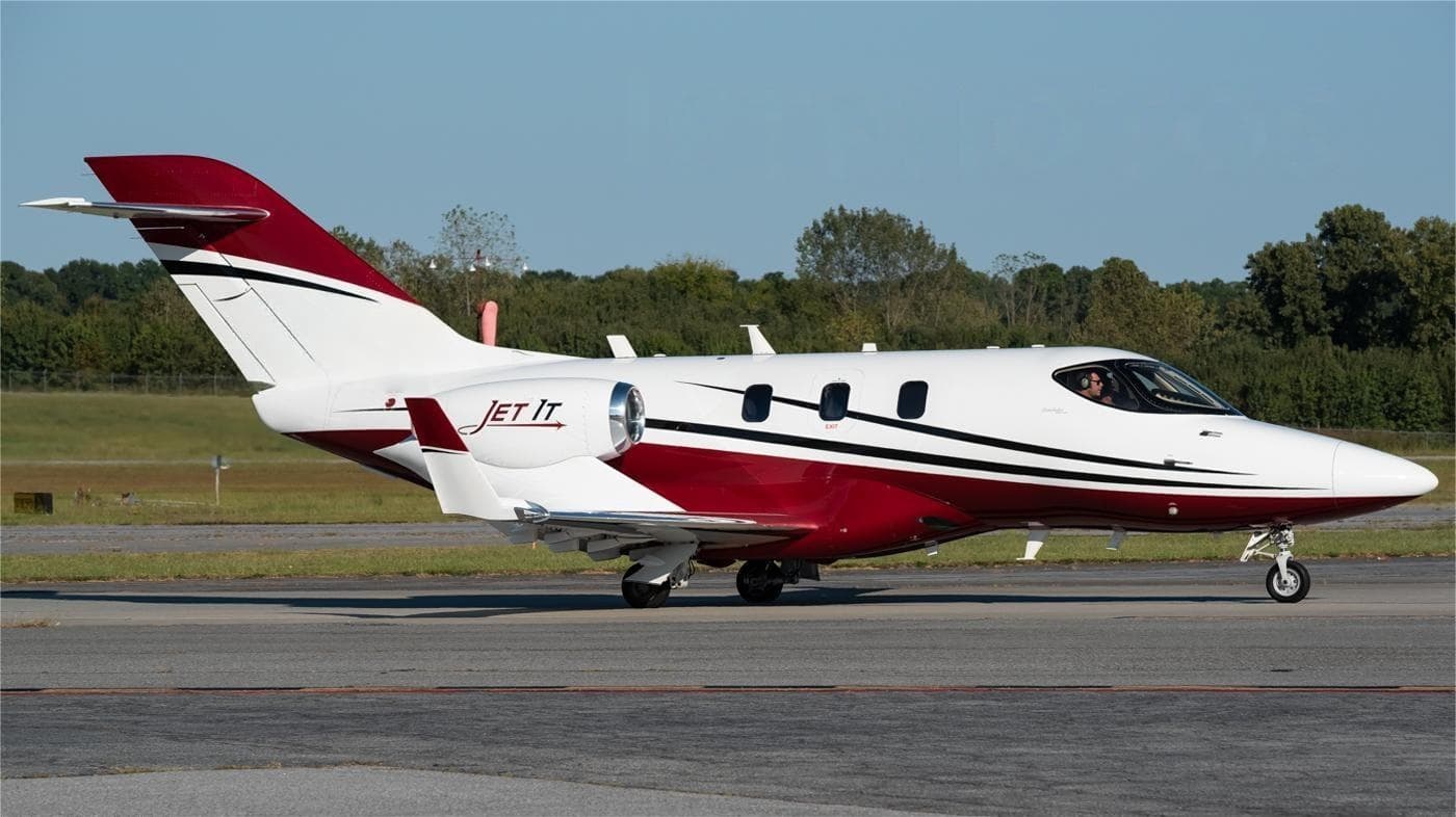 Tue, Nov 3TodayDallasKDAL · Dallas Love FieldAustinKAUS · Austin Bergstrom International AirportHondaJet5—$2,6403NovDallas → AustinKDAL → KAUS · TodayHondaJet · 5 seats$2,640
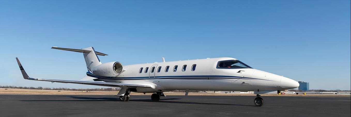 Tue, Nov 3TodayDallasKDAL · Dallas Love FieldTulsaKTUL · Tulsa International AirportLearjet 458—On request3NovDallas → TulsaKDAL → KTUL · TodayLearjet 45 · 8 seatsOn request
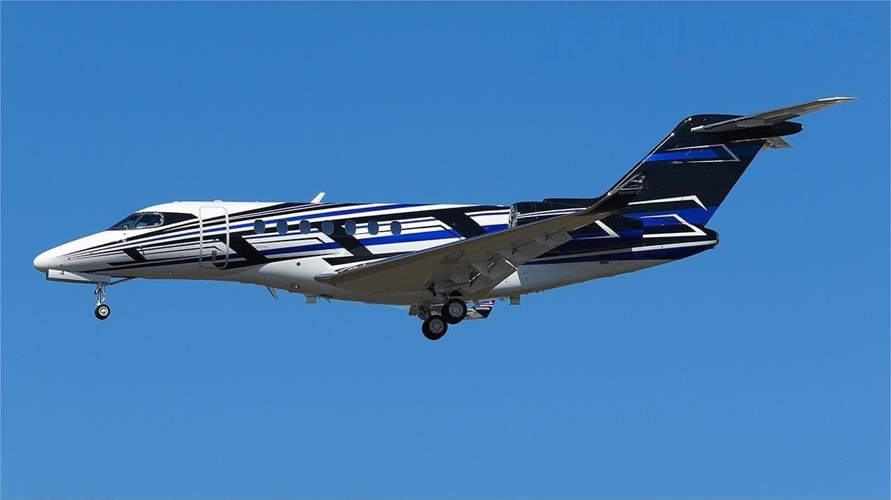 Tue, Nov 3TodayDallasKDAL · Dallas Love FieldLas VegasKLAS · Harry Reid International AirportCitation Longitude9—On request3NovDallas → Las VegasKDAL → KLAS · TodayCitation Longitude · 9 seatsOn request
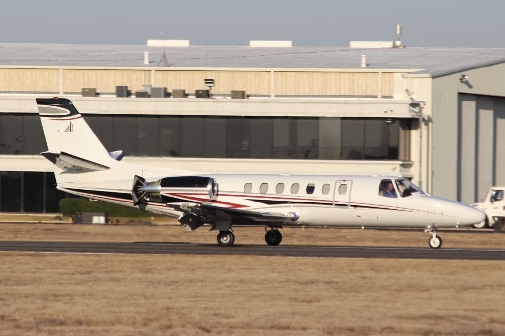 Tue, Nov 3TodayDallasKDAL · Dallas Love FieldCollege StationKCLL · Easterwood FieldCitation XLS8—On request3NovDallas → College StationKDAL → KCLL · TodayCitation XLS · 8 seatsOn request
- Tue, Nov 317:12DallasKDAL · Dallas Love FieldSan AngeloKSJT · Mathis FieldBombardier Learjet 607—$8,1683NovDallas → San AngeloKDAL → KSJT · 17:12Bombardier Learjet 60 · 7 seats$8,168
- Tue, Nov 318:27DallasKDAL · Dallas Love FieldVancouverCYVR · Vancouver IntlGulfstream G45016—On request3NovDallas → VancouverKDAL → CYVR · 18:27Gulfstream G450 · 16 seatsOn request
- Tue, Nov 306:21DallasKDAL · Dallas Love FieldAustinKAUS · Austin - Bergstrom IntlHonda Aircraft HA-420 HondaJet6—$3,6303NovDallas → AustinKDAL → KAUS · 06:21Honda Aircraft HA-420 HondaJet · 6 seats$3,630
- Tue, Nov 312:28DallasKDAL · Dallas Love FieldOrlandoKORL · Orlando ExecutiveBombardier Global 750014—$44,0143NovDallas → OrlandoKDAL → KORL · 12:28Bombardier Global 7500 · 14 seats$44,014
- Tue, Nov 3TodayDallasKDAL · Dallas Love FieldAustinKAUS · Austin Bergstrom International AirportBombardier Challenger 350954m€3,9333NovDallas → AustinKDAL → KAUS · TodayBombardier Challenger 350 · 9 seats · 54m€3,933
 KDAL · Dallas Love Field
 CYVR · Vancouver Intl
* Total price incl. 10% service fee, converted to your selected currency. Price subject to operator confirmation.
Empty legs to KDAL
100 arrivals available
- Tue, Nov 3TodayHoustonKHOU · William P Hobby AirportDallasKDAL · Dallas Love FieldCessna Citation VII——On request3NovHouston → DallasKHOU → KDAL · TodayCessna Citation VIIOn request
- Tue, Nov 3TodaySan AntonioKSAT · San Antonio International AirportDallasKDAL · Dallas Love FieldCessna Citation XLS——On request3NovSan Antonio → DallasKSAT → KDAL · TodayCessna Citation XLSOn request
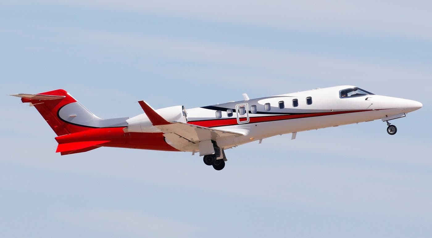 Tue, Nov 3TodayLake CharlesKCWF · Chennault International AirportDallasKDAL · Dallas Love FieldLearjet 459—On request3NovLake Charles → DallasKCWF → KDAL · TodayLearjet 45 · 9 seatsOn request
- Tue, Nov 318:02New OrleansKMSY · Louis Armstrong IntlDallasKDAL · Dallas Love FieldBombardier Global 750014—$27,8303NovNew Orleans → DallasKMSY → KDAL · 18:02Bombardier Global 7500 · 14 seats$27,830
- Tue, Nov 3TodaySan AntonioKSAT · San Antonio International AirportDallasKDAL · Dallas Love FieldBeechcraft Beechjet 400A754mOn request3NovSan Antonio → DallasKSAT → KDAL · TodayBeechcraft Beechjet 400A · 7 seats · 54mOn request
- Tue, Nov 3TodayStuartKSUA · Witham FieldDallasKDAL · Dallas Love FieldBombardier Global 5000132h 48mOn request3NovStuart → DallasKSUA → KDAL · TodayBombardier Global 5000 · 13 seats · 2h 48mOn request
- Wed, Nov 4TomorrowLake CharlesKCWF · Chennault International AirportDallasKDAL · Dallas Love FieldBombardier Lear 45XR——On request4NovLake Charles → DallasKCWF → KDAL · TomorrowBombardier Lear 45XROn request
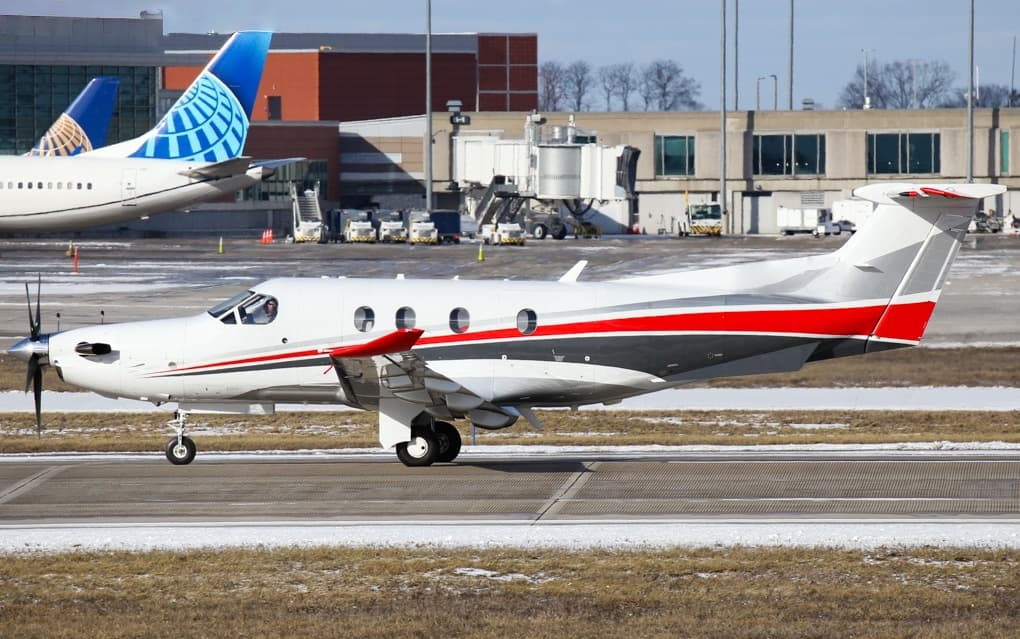 Wed, Nov 4TomorrowDenverKDEN · Denver International AirportDallasKDAL · Dallas Love FieldPilatus PC-126—$7,0404NovDenver → DallasKDEN → KDAL · TomorrowPilatus PC-12 · 6 seats$7,040
 Wed, Nov 422:20San AntonioKSAT · San Antonio International AirportDallasKDAL · Dallas Love FieldBeechcraft Beechjet 400A148mOn request4NovSan Antonio → DallasKSAT → KDAL · 22:20Beechcraft Beechjet 400A · 1 seat · 48mOn request
* Total price incl. 10% service fee, converted to your selected currency. Price subject to operator confirmation.
Map: Dallas Airport
View the location of Dallas – DAL/KDAL. Zoom in to explore the area around the airport.
About the airport
Dallas Love Field (DAL/KDAL) is the key private jet gateway for Dallas. PrivJet gives you instant access to charter flights and empty legs: fast, discreet and globally connected.
KDAL airport FAQ
Are there any restrictions at Dallas airport (KDAL) today?
There are currently 10 valid NOTAMs for Dallas (KDAL). According to NOTAM, at least one runway or the aerodrome itself is closed. Affected: Runway: closed. 1 more NOTAM starts in the coming days. For information only, not for flight planning or operational use. Always rely on an official pre-flight briefing. This list may be incomplete or out of date.
How long are the runways at Dallas airport (KDAL)?
Dallas (KDAL) has 2 runways: runway 13R/31L with 2,682 m (8,800 ft), concrete and runway 13L/31R with 2,363 m (7,752 ft), concrete. The longest is 2,682 m.
What are the radio frequencies at Dallas airport (KDAL)?
Frequencies at KDAL: Tower 118.7 MHz, Ground 121.75 MHz and ATIS 120.15 MHz. For information only. Always rely on the published AIP.
What are the airport codes of Dallas Love Field?
The ICAO code is KDAL and the IATA code is DAL. ICAO codes are used by air traffic control and pilots, e.g. in flight plans; IATA codes appear on tickets and baggage tags.
What is the elevation of KDAL airport?
Dallas Love Field sits at 487 ft (148 m) above sea level. Local time zone: America/Chicago.
Where do private jets land at Dallas Love Field?
KDAL has 5 private jet terminals or FBOs: Signature Aviation DAL Terminal 1, Signature Aviation DAL Terminal 2, Signature Aviation DAL Terminal 3, Signature Aviation DAL Terminal 4 and Atlantic Aviation DAL. Your flight confirmation says which one your operator uses.
Can I fly to KDAL by private jet?
Whether a private jet can operate into Dallas Love Field depends on runway length, opening hours, customs and immigration rules as well as slot and handling availability, among other things. PrivJet checks this with the operating carrier for every request.
Are there empty legs from or to KDAL?
There are currently 100 empty legs departing from and 100 arriving at Dallas Love Field. Empty legs are repositioning flights at heavily reduced prices; the list is updated several times a day.