Houston William P Hobby Airport (KHOU / HOU)
Empty legs and charters from Houston
KHOU airport at a glance
- ICAO code
- KHOU
- IATA code
- HOU
- City
- Houston
- Region
- Texas
- Country
- United States
- Elevation
- 46 ft (14 m)
- Time zone
- America/Chicago (UTC-6)
- Coordinates
- 29.6454° N, 95.2789° W
- Empty legs from
- 100
- Empty legs to
- 100
Private jet terminal & FBOs at Houston William P Hobby
- Signature Aviation HOU8402 Nelms Street, Houston, TX 77061
- Atlantic Aviation HOU7930 Airport Blvd., Houston, TX 77061
- Jet Aviation Houston8620 W. Monroe Road, Houston, TX 77061
- Million Air Houston7555 Ipswich Rd., Houston, TX 77061
- Galaxy FBO Houston Hobby8912 Paul B Koonce Street, Houston, TX 77061
- Wilson Air Center Houston9000 Randolph Street, Houston, TX 77061
Weather & airport info KHOU
Current weather
No current weather report is available for this airport.
Airport
- Elevation
- 46 ft (14 m)
- Sunrise / Sunset
- 06:35 / 17:33 local time
Runways
| Runway | Length | Surface | Lighted |
|---|---|---|---|
| 04/22 | 2,317 m (7,602 ft) | concrete | yes |
| 13R/31L | 2,317 m (7,602 ft) | asphalt | yes |
| 13L/31R | 1,569 m (5,148 ft) | concrete | yes |
Radio frequencies
- Approach: 120.05
- ATIS: 124.6
- Clearance: 125.45
- Ground: 121.9
- Tower: 118.7
- UNICOM: 122.95
For information only, not for flight planning. Weather can change quickly; always rely on official reports. Sources: aviationweather.gov (NOAA), OurAirports.
Airport map KHOU
Full screen →Runways white, taxiways yellow with designators, closed taxiways and runways per NOTAM in red.
Closed per NOTAM: RWY 13L/31R, TWY Z, TWY Y*, TWY B, TWY M*, TWY C*, TWY D*, TWY K1 (* partly closed)
Official charts (FAA)
Cycle 2611, valid until 0901Z 11/26/26
Airport diagram (FAA)
Airport diagram (1)
Instrument approaches (10)
Departure procedures (25)
- ALEXANDRIA THREE
- ALEXANDRIA THREE, CONT.1
- BLTWY SEVEN (RNAV)
- CRIED ONE
- CRIED ONE, CONT.1
- EL DORADO ONE
- EL DORADO ONE, CONT.1
- ELOCO SIX (RNAV)
- GIFFA ONE
- HOODO SEVEN (RNAV)
- INDIE EIGHT (RNAV)
- LEONA FOUR
- LEONA FOUR, CONT.1
- LUFKIN FOUR
- LUFKIN FOUR, CONT.1
- LURIC EIGHT (RNAV)
- PEECE SIX (RNAV)
- PEECE SIX (RNAV), CONT.1
- PTRON NINE (RNAV)
- PTRON NINE (RNAV), CONT.1
- RETYR EIGHT (RNAV)
- RETYR EIGHT (RNAV), CONT.1
- STRYA EIGHT (RNAV)
- STYCK EIGHT (RNAV)
- WYLSN EIGHT (RNAV)
Minimums (2)
Hot spots (1)
Other (20)
- BAYYY FIVE (RNAV)
- BAYYY FIVE (RNAV), CONT.1
- BELLR SIX (RNAV)
- CESAN FOUR (RNAV)
- CESAN FOUR (RNAV), CONT.1
- HUDZY FIVE
- HUDZY FIVE, CONT.1
- KIDDZ FIVE (RNAV)
- KIDDZ FIVE (RNAV), CONT.1
- OHIIO FOUR
- PUCKS FOUR (RNAV)
- PUCKS FOUR (RNAV), CONT.1
- SNDAY ONE (RNAV)
- TKNIQ THREE (RNAV)
- TKNIQ THREE (RNAV), CONT.1
- TSHRT TWO
- TSHRT TWO, CONT.1
- WAPPL SEVEN (RNAV)
- WAPPL SEVEN (RNAV), CONT.1
- WAPPL SEVEN (RNAV), CONT.2
For information only, not for navigation. Always use current official charts and NOTAMs.
Current NOTAMs for KHOU(53)
NOTAMs (Notices to Air Missions) announce short-term changes at an airport: closed runways or taxiways, unserviceable approach aids, obstacles, airspace restrictions.
- ClosedRunway: closedA2658/26· from 05 Nov, 06:00 UTC · until 05 Nov, 11:00 UTC
Runway 13R/31L at William P Hobby Airport is closed.
Show original text
RWY 13R/31L CLSD
A2658/26 NOTAMN
Q) KZHU/QMRLC////000/999/2938N09516W005
A) KHOU
B) 2611050600
C) 2611051100
E) RWY 13R/31L CLSD
- ClosedRunway: closedA2657/26· from 04 Nov, 06:00 UTC · until 04 Nov, 11:00 UTC
Runway 13R/31L at William P Hobby Airport is closed.
Show original text
RWY 13R/31L CLSD
A2657/26 NOTAMN
Q) KZHU/QMRLC////000/999/2938N09516W005
A) KHOU
B) 2611040600
C) 2611041100
E) RWY 13R/31L CLSD
- ClosedRunway: closedA2351/26· until 31 Dec, 23:00 UTC
Runway 13L/31R is closed.
Show original text
RWY 13L/31R CLSD
A2351/26 NOTAMN
Q) KZHU/QMRLC////000/999/2938N09516W005
A) KHOU
B) 2609292023
C) 2712312300
E) RWY 13L/31R CLSD
- Out of serviceILS: unserviceableA2663/26· from 04 Nov, 00:00 UTC · until 04 Nov, 05:00 UTC
The Instrument Landing System (ILS) for runway 31L is out of service. The ILS guides aircraft to the runway in poor visibility.
Show original text
HOU NAV ILS RWY 31L U/S
A2663/26 NOTAMN
Q) KZHU/QICAS////000/999/2938N09516W005
A) KHOU
B) 2611040000
C) 2611040500
E) HOU NAV ILS RWY 31L U/S
- Out of serviceILS: unserviceableA2664/26· from 04 Nov, 00:00 UTC · until 04 Nov, 05:00 UTC
The Instrument Landing System (ILS) for runway 13R is out of service. The ILS guides aircraft to the runway in poor visibility.
Show original text
HOU NAV ILS RWY 13R U/S
A2664/26 NOTAMN
Q) KZHU/QICAS////000/999/2938N09516W005
A) KHOU
B) 2611040000
C) 2611040500
E) HOU NAV ILS RWY 13R U/S
- ClosedTaxiway: closedA2661/26· until 07 Nov, 23:59 UTC
Taxiway Z between taxiway D and taxiway E is closed.
Show original text
TWY Z BTN TWY D AND TWY E CLSD
A2661/26 NOTAMN
Q) KZHU/QMXLC////000/999/2938N09516W005
A) KHOU
B) 2611021058
C) 2611072359
E) TWY Z BTN TWY D AND TWY E CLSD
- ClosedTaxiway: closedA2660/26· until 07 Nov, 23:59 UTC
Taxiway Y between taxiway D and taxiway E is closed.
Show original text
TWY Y BTN TWY D AND TWY E CLSD
A2660/26 NOTAMN
Q) KZHU/QMXLC////000/999/2938N09516W005
A) KHOU
B) 2611021057
C) 2611072359
E) TWY Y BTN TWY D AND TWY E CLSD
- ClosedTaxiway: closedA2659/26· until 07 Nov, 23:59 UTC
Taxiway E is closed. This means that this taxiway at the airport cannot be used.
Show original text
TWY E CLSD
A2659/26 NOTAMN
Q) KZHU/QMXLC////000/999/2938N09516W005
A) KHOU
B) 2611021056
C) 2611072359
E) TWY E CLSD
45 more NOTAMs
- ClosedTaxiway: closedA2646/26· until 09 Nov, 23:59 UTC
Taxiway Z is closed at Taxiway B. This may lead to changes in taxi routes at William P. Hobby Airport.
Show original text
TWY Z AT TWY B CLSD
A2646/26 NOTAMN
Q) KZHU/QMXLC////000/999/2938N09516W005
A) KHOU
B) 2610311314
C) 2611092359
E) TWY Z AT TWY B CLSD
- ClosedTaxiway: closedA2642/26· until 31 Dec, 23:59 UTC
Taxiway M between taxiway K and taxiway H at William P. Hobby airport is closed. This may cause diversions.
Show original text
TWY M BTN TWY K AND TWY H CLSD
A2642/26 NOTAMN
Q) KZHU/QMXLC////000/999/2938N09516W005
A) KHOU
B) 2610302232
C) 2612312359
E) TWY M BTN TWY K AND TWY H CLSD
- Out of serviceObstacle lights: unserviceableA2638/26· until 13 Nov, 21:08 UTC
A tower light 1.3 nautical miles northwest of the airport is out of service. Its top is 123 feet above sea level, 88 feet above ground.
Show original text
TOWER LGT (ASN 2022-ASW-1795-O 293941N0951741W (1.3NM NW HOU) 123FT (88FT AGL) U/S
A2638/26 NOTAMN
Q) KZHU/QOLAS/IV/M/AE/000/999/2939N09517W001
A) KHOU
B) 2610302108
C) 2611132108
E) TOWER LGT (ASN 2022-ASW-1795-OE) 293941N0951741W (1.3NM NW HOU) 123FT (88FT AGL) U/S
- Out of serviceObstacle lights: unserviceableA2634/26· until 13 Nov, 21:07 UTC
A tower light 9.9 nautical miles north of the airport is out of service. Its top is 234 feet above sea level, 201 feet above ground.
Show original text
TOWER LGT (ASN 2021-ASW-5769-O 294822N0951357W (9.9NM N HOU) 234FT (201FT AGL) U/S
A2634/26 NOTAMN
Q) KZHU/QOLAS/IV/M/E/000/999/2948N09513W001
A) KHOU
B) 2610302107
C) 2611132107
E) TOWER LGT (ASN 2021-ASW-5769-OE) 294822N0951357W (9.9NM N HOU) 234FT (201FT AGL) U/S
- Out of serviceObstacle lights: unserviceableA2636/26· until 13 Nov, 21:07 UTC
A tower light 6.6 nautical miles north of the airport is out of service. Its top is 238 feet above sea level, 219 feet above ground.
Show original text
TOWER LGT (ASN 2001-ASW-3158-O 294455N0951344W (6.6NM N HOU) 238FT (219FT AGL) U/S
A2636/26 NOTAMN
Q) KZHU/QOLAS/IV/M/E/000/999/2944N09513W001
A) KHOU
B) 2610302107
C) 2611132107
E) TOWER LGT (ASN 2001-ASW-3158-OE) 294455N0951344W (6.6NM N HOU) 238FT (219FT AGL) U/S
- Out of serviceObstacle lights: unserviceableA2623/26· until 12 Nov, 21:54 UTC
A tower light 6.4 nautical miles northeast of the airport is out of service. Its top is 273 feet above sea level, 249 feet above ground.
Show original text
TOWER LGT (ASN 2001-ASW-3160-O 294442N0951346W (6.4NM NE HOU) 273FT (249FT AGL) U/S
A2623/26 NOTAMN
Q) KZHU/QOLAS/IV/M/E/000/999/2944N09513W001
A) KHOU
B) 2610292154
C) 2611122154
E) TOWER LGT (ASN 2001-ASW-3160-OE) 294442N0951346W (6.4NM NE HOU) 273FT (249FT AGL) U/S
- Out of serviceObstacle lights: unserviceableA2624/26· until 12 Nov, 21:54 UTC
A tower light 7.5 nautical miles north of the airport is out of service. Its top is 228 feet above sea level, 201 feet above ground.
Show original text
TOWER LGT (ASN 2021-ASW-5754-O 294554N0951351W (7.5NM N HOU) 228FT (201FT AGL) U/S
A2624/26 NOTAMN
Q) KZHU/QOLAS/IV/M/E/000/999/2945N09513W001
A) KHOU
B) 2610292154
C) 2611122154
E) TOWER LGT (ASN 2021-ASW-5754-OE) 294554N0951351W (7.5NM N HOU) 228FT (201FT AGL) U/S
- Out of servicePAPI: unserviceableA2620/26· until 05 Nov, 20:00 UTC
The precision approach path indicator (PAPI) for runway 13R at William P. Hobby Airport is out of service.
Show original text
RWY 13R PAPI U/S
A2620/26 NOTAMN
Q) KZHU/QLPAS////000/999/2938N09516W005
A) KHOU
B) 2610291521
C) 2611052000
E) RWY 13R PAPI U/S
- Out of serviceObstacle lights: unserviceableA2614/26· until 11 Nov, 21:55 UTC
A tower light (ASN 2001-ASW-3119-O) 10.6 nautical miles north of the airport, with its top at 240 feet above sea level and 209 feet above ground, is out of service.
Show original text
TOWER LGT (ASN 2001-ASW-3119-O 294856N0951310W (10.6NM N HOU) 240FT (209FT AGL) U/S
A2614/26 NOTAMN
Q) KZHU/QOLAS/IV/M/E/000/999/2948N09513W001
A) KHOU
B) 2610282155
C) 2611112155
E) TOWER LGT (ASN 2001-ASW-3119-OE) 294856N0951310W (10.6NM N HOU) 240FT (209FT AGL) U/S
- Out of serviceObstacle lights: unserviceableA2616/26· until 11 Nov, 21:55 UTC
A tower light (ASN 2022-ASW-1793-O) 1.3 nautical miles northwest of the airport, with its top at 123 feet above sea level and 88 feet above ground, is out of service.
Show original text
TOWER LGT (ASN 2022-ASW-1793-O 293946N0951732W (1.3NM NW HOU) 123FT (88FT AGL) U/S
A2616/26 NOTAMN
Q) KZHU/QOLAS/IV/M/AE/000/999/2939N09517W001
A) KHOU
B) 2610282155
C) 2611112155
E) TOWER LGT (ASN 2022-ASW-1793-OE) 293946N0951732W (1.3NM NW HOU) 123FT (88FT AGL) U/S
- ClosedTaxiway: closed10/144· until 10 Nov, 23:59 UTC
Taxiway C between taxiway K and taxiway Z is closed.
Show original text
TWY C BTN TWY K AND TWY Z CLSD
A2592/26 NOTAMN Q) KZHU/QMXLC////000/999/2938N09516W005 A) KHOU B) 2610271310 C) 2611102359 E) TWY C BTN TWY K AND TWY Z CLSD
- Out of servicePAPI: unserviceable10/139· until 25 Nov, 20:00 UTC
The PAPI (Precision Approach Path Indicator) for runway 13R is out of service. The PAPI helps pilots maintain the correct glide path to the runway.
Show original text
RWY 13R PAPI U/S
A2580/26 NOTAMN Q) KZHU/QLPAS////000/999/2938N09516W005 A) KHOU B) 2610241650 C) 2611252000 E) RWY 13R PAPI U/S
- Out of serviceObstacle lights: unserviceableA2556/26· until 04 Nov, 19:54 UTC
A tower light, with its top 232 feet above sea level and 201 feet above ground, is out of service 8.8 nautical miles north of the airport.
Show original text
TOWER LGT (ASN 2021-ASW-5760-O 294716N0951354W (8.8NM N HOU) 232FT (201FT AGL) U/S
A2556/26 NOTAMN
Q) KZHU/QOLAS/IV/M/E/000/999/2947N09513W001
A) KHOU
B) 2610211954
C) 2611041954
E) TOWER LGT (ASN 2021-ASW-5760-OE) 294716N0951354W (8.8NM N HOU) 232FT (201FT AGL) U/S
- Out of serviceStandard instrument departure: not available8864/26· until 09 Nov, 17:00 UTC
The HOODO SEVEN DEPARTURE (RNAV) standard departure route (SID) at William P Hobby airport is not available, unless the aircraft is equipped with a suitable RNAV system with GPS. The TBD VOR/DME system is out of service.
Show original text
SID WILLIAM P HOBBY, HOUSTON, TX. HOODO SEVEN DEPARTURE (RNAV)... DEPARTURE PROCEDURE NA EXCEPT FOR ACFT EQUIPPED WITH SUITABLE RNAV SYSTEM WITH GPS, TBD VOR/DME OUT OF SERVICE. 2610131300-2611091700EST
Q) KZHU/QPDAU/I/NBO/A/000/999/2938N09516W005
A) KHOU
B) 2602191110
C) 2610011110EST
E) HOU WILLIAM P HOBBY, HOUSTON, TX.
HOODO SEVEN DEPARTURE (RNAV)...
DEPARTURE PROCEDURE NA EXCEPT FOR ACFT EQUIPPED WITH SUITABLE RNAV SYSTEM WITH GPS,
TBD VOR/DME U/S.
- Out of serviceStandard instrument departure: changedA2477/26· until 09 Nov, 17:00 UTC
The HOODO SEVEN DEPARTURE (RNAV) standard departure route (SID) at William P Hobby airport is not available, unless the aircraft is equipped with a suitable RNAV system with GPS. The TBD VOR/DME system is out of service.
Show original text
SID WILLIAM P HOBBY, HOUSTON, TX. HOODO SEVEN DEPARTURE (RNAV)... DEPARTURE PROCEDURE NA EXCEPT FOR ACFT EQUIPPED WITH SUITABLE RNAV SYSTEM WITH GPS, TBD VOR/DME OUT OF SERVICE.
A2477/26 NOTAMN
Q) KZHU/QPDCH/I/NBO/A/000/999/2938N09516W005
A) KHOU
B) 2610131300
C) 2611091700
E) SID WILLIAM P HOBBY, HOUSTON, TX. HOODO SEVEN DEPARTURE (RNAV)... DEPARTURE PROCEDURE NA EXCEPT FOR ACFT EQUIPPED WITH SUITABLE RNAV SYSTEM WITH GPS, TBD VOR/DME OUT OF SERVICE.
- Out of serviceObstacle10/038· until 03 Dec, 23:00 UTC
An obstacle, a tower light, is out of service. Its top is 290 ft above sea level, 278 ft above ground, about 7 nautical miles north-northeast of the airport.
Show original text
OBST TOWER LGT (ASR UNKNOWN) 294340.69N0951331.18W (7NM NNE HOU) 290FT (278FT AGL) U/S
- ClosedTaxiway: closedA2353/26· until 31 Dec, 23:00 UTC
Taxiway D is closed between taxiway M and taxiway Z. This may lead to changes in taxi routes at the airport.
Show original text
TWY D BTN TWY M AND TWY Z CLSD
A2353/26 NOTAMN
Q) KZHU/QMXLC////000/999/2938N09516W005
A) KHOU
B) 2609292052
C) 2612312300
E) TWY D BTN TWY M AND TWY Z CLSD
- ClosedTaxiway: closedA2354/26· until 31 Dec, 23:00 UTC
Taxiway K1 is closed. This may lead to changes in taxi routes at the airport.
Show original text
TWY K1 CLSD
A2354/26 NOTAMN
Q) KZHU/QMXLC////000/999/2938N09516W005
A) KHOU
B) 2609292052
C) 2612312300
E) TWY K1 CLSD
- NoticeDaylight markings10/174· until 31 Dec, 23:59 UTC
Taxiway C surface PAINTED holding position SIGNS REMOVED
Show original text
TWY C SFC PAINTED HLDG PSN SIGNS REMOVED
10/174 NOTAMR
Q) KZHU/QMMXX/V/M/A/000/999/2938N09516W005
A) KHOU
B) 2610302334
C) 2612312359

E) TWY C SFC PAINTED HLDG PSN SIGNS REMOVED
- NoticeTaxiway10/152· until 31 Dec, 23:59 UTC
The taxiway K holding position sign for the instrument landing system (ILS) between the Southwest Maintenance Ramp and the Galaxy Ramp is not standard.
Show original text
TWY K HLDG PSN SIGN FOR ILS BTN SOUTHWEST MAINT RAMP AND GALAXY RAMP NOT STD
- NoticeTaxiway10/151· until 31 Dec, 23:59 UTC
The taxiway K location sign between the Southwest Maintenance Ramp and the Galaxy Ramp is not standard.
Show original text
TWY K LOCATION SIGN BTN SOUTHWEST MAINT RAMP AND GALAXY RAMP NOT STD
- NoticeDaylight markings10/150· until 31 Dec, 23:00 UTC
The geographic position markings on taxiway C between the Signature Ramp and taxiway K are not standard.
Show original text
TWY C GEOGRAPHIC PSN MARKINGS BTN SIGNATURE RAMP AND TWY K NOT STD
10/150 NOTAMN
Q) KZHU/QMMXX/V/M/A/000/999/2938N09516W005
A) KHOU
B) 2610271729
C) 2612312300

E) TWY C GEOGRAPHIC PSN MARKINGS BTN SIGNATURE RAMP AND TWY K NOT STD
- NoticeStandard instrument departure: changed1595/26· until 22 Oct, 11:25 UTC (estimated)
For the standard departure route (SID) STYCK EIGHT DEPARTURE (RNAV) at William P. Hobby airport, the minimum obstruction clearance altitude (MOCA) for the DOLEY TRANSITION and WTSON TRANSITION from STYCK to DOLEY and STYCK to WTSON is 2200 ft.
Show original text
SID WILLIAM P HOBBY, HOUSTON, TX. STYCK EIGHT DEPARTURE (RNAV)... DOLEY TRANSITION,WTSON TRANSITION FROM STYCK TO DOLEY AND STYCK TO WTSON MOCA 2200. ALL OTHER DATA REMAINS AS PUBLISHED. 2610221125-2810221125EST
Q) KZHU/QPDCH/I/NBO/A/000/999/2938N09516W005
A) KHOU
B) 2610221045
C) 2706031044EST
E) HOU WILLIAM P HOBBY, HOUSTON, TX.
STYCK EIGHT DEPARTURE (RNAV)...
DOLEY TRANSITION,WTSON TRANSITION FROM STYCK TO DOLEY AND STYCK TO WTSON MOCA 2200FT.
ALL OTHER DATA REMAINS AS PUBLISHED.
- NoticeStandard instrument departure: changedA2565/26· until 22 Oct, 11:25 UTC
For the standard departure route (SID) STYCK EIGHT DEPARTURE (RNAV) at William P. Hobby airport, the minimum obstruction clearance altitude (MOCA) for the DOLEY TRANSITION and WTSON TRANSITION from STYCK to DOLEY and STYCK to WTSON is 2200 ft.
Show original text
SID WILLIAM P HOBBY, HOUSTON, TX. STYCK EIGHT DEPARTURE (RNAV)... DOLEY TRANSITION,WTSON TRANSITION FROM STYCK TO DOLEY AND STYCK TO WTSON MOCA 2200. ALL OTHER DATA REMAINS AS PUBLISHED.
A2565/26 NOTAMN
Q) KZHU/QPDCH/I/NBO/A/000/999/2938N09516W005
A) KHOU
B) 2610221125
C) 2810221125
E) SID WILLIAM P HOBBY, HOUSTON, TX. STYCK EIGHT DEPARTURE (RNAV)... DOLEY TRANSITION,WTSON TRANSITION FROM STYCK TO DOLEY AND STYCK TO WTSON MOCA 2200. ALL OTHER DATA REMAINS AS PUBLISHED.
- NoticeTaxiway10/123· until 31 Dec, 23:59 UTC
Taxiway Y centerline markings between taxiway E and taxiway D are not standard.
Show original text
TWY Y CL MARKINGS BTN TWY E AND TWY D NOT STD
- NoticeTaxiway10/080· until 31 Dec, 23:59 UTC
Taxiway H surface MARKINGS between taxiway H2 and taxiway M OBSC
Show original text
TWY H SFC MARKINGS BTN TWY H2 AND TWY M OBSC
- NoticeInstrument approach procedure6780/26· until 01 Dec, 11:29 UTC (estimated)
Temporary construction equipment, 245 ft above mean sea level, is located 2832 ft northwest of KHOU airport and affects the approach procedures for runway 13R, 31L, and 4.
Show original text
IAP WILLIAM P HOBBY, HOUSTON, TX. ILS OR LOC RWY 13R, AMDT 12D... ILS OR LOC RWY 31L, AMDT 6D... ILS OR LOC RWY 4, AMDT 43A... RNAV (GPS) RWY 13R, AMDT 1D... RNAV (GPS) RWY 4, AMDT 3A... CIRCLING CATS A/B MDA 600/HAA 554. TEMPORARY CONSTRUCTION EQUIPMENT, 245 MSL, BEGINNING 2832FT NW OF KHOU AIRPORT (2024-ASW-3317 THRU 3322-NRA). 2610021129-2612011129EST
Q) KZHU/QPIXX/I/NBO/A/000/999/2938N09516W005
A) KHOU
B) 2610021129
C) 2705141129EST
E) HOU WILLIAM P HOBBY, HOUSTON, TX.
ILS OR LOC RWY 13R, AMDT 12D...
ILS OR LOC RWY 31L, AMDT 6D...
ILS OR LOC RWY 4, AMDT 43A...
RNAV (GPS) RWY 13R, AMDT 1D...
RNAV (GPS) RWY 4, AMDT 3A...
CIRCLING CATS A/B MDA 600/HAA 554.
TEMPORARY CONSTRUCTION EQUIPMENT, 245 MSL, BEGINNING 2832FT NW OF KHOU AIRPORT (2024-ASW-3317 THRU 3322-NRA).
- NoticeInstrument approach procedure6781/26· until 01 Dec, 11:29 UTC (estimated)
Temporary construction equipment, 245 ft above mean sea level, is located 2832 ft northwest of KHOU airport and affects the approach procedures for runway 22.
Show original text
IAP WILLIAM P HOBBY, HOUSTON, TX. LOC RWY 22, AMDT 2... RNAV (GPS) RWY 22, AMDT 2C... CIRCLING CATS A/B/C MDA 600/HAA 554. TEMPORARY CONSTRUCTION EQUIPMENT, 245 MSL, BEGINNING 2832FT NW OF KHOU AIRPORT (2024-ASW-3317 THRU 3322-NRA). 2610021129-2612011129EST
Q) KZHU/QPIXX/I/NBO/A/000/999/2938N09516W005
A) KHOU
B) 2610021128
C) 2705141128EST
E) HOU WILLIAM P HOBBY, HOUSTON, TX.
LOC RWY 22, AMDT 2...
RNAV (GPS) RWY 22, AMDT 2C...
CIRCLING CATS A/B/C MDA 600/HAA 554.
TEMPORARY CONSTRUCTION EQUIPMENT, 245 MSL, BEGINNING 2832FT NW OF KHOU AIRPORT (2024-ASW-3317 THRU 3322-NRA).
- NoticeInstrument approach procedure: changedA2405/26· until 01 Dec, 11:29 UTC
Temporary construction equipment, 245 ft above mean sea level, is located 2832 ft northwest of KHOU airport and affects the approach procedures for runway 22.
Show original text
IAP WILLIAM P HOBBY, HOUSTON, TX. LOC RWY 22, AMDT 2... RNAV (GPS) RWY 22, AMDT 2C... CIRCLING CATS A/B/C MDA 600/HAA 554. TEMPORARY CONSTRUCTION EQUIPMENT, 245 MSL, BEGINNING 2832FT NW OF KHOU AIRPORT (2024-ASW-3317 THRU 3322-NRA).
A2405/26 NOTAMN
Q) KZHU/QPICH/I/NBO/A/000/999/2938N09516W005
A) KHOU
B) 2610021129
C) 2612011129
E) IAP WILLIAM P HOBBY, HOUSTON, TX. LOC RWY 22, AMDT 2... RNAV (GPS) RWY 22, AMDT 2C... CIRCLING CATS A/B/C MDA 600/HAA 554. TEMPORARY CONSTRUCTION EQUIPMENT, 245 MSL, BEGINNING 2832FT NW OF KHOU AIRPORT (2024-ASW-3317 THRU 3322-NRA).
- NoticeInstrument approach procedure: changedA2406/26· until 01 Dec, 11:29 UTC
Temporary construction equipment, 245 ft above mean sea level, is located 2832 ft northwest of KHOU airport and affects the approach procedures for runway 13R, 31L, and 4.
Show original text
IAP WILLIAM P HOBBY, HOUSTON, TX. ILS OR LOC RWY 13R, AMDT 12D... ILS OR LOC RWY 31L, AMDT 6D... ILS OR LOC RWY 4, AMDT 43A... RNAV (GPS) RWY 13R, AMDT 1D... RNAV (GPS) RWY 4, AMDT 3A... CIRCLING CATS A/B MDA 600/HAA 554. TEMPORARY CONSTRUCTION EQUIPMENT, 245 MSL, BEGINNING 2832FT NW OF KHOU AIRPORT (2024-ASW-3317 THRU 3322-NRA).
A2406/26 NOTAMN
Q) KZHU/QPICH/I/NBO/A/000/999/2938N09516W005
A) KHOU
B) 2610021129
C) 2612011129
E) IAP WILLIAM P HOBBY, HOUSTON, TX. ILS OR LOC RWY 13R, AMDT 12D... ILS OR LOC RWY 31L, AMDT 6D... ILS OR LOC RWY 4, AMDT 43A... RNAV (GPS) RWY 13R, AMDT 1D... RNAV (GPS) RWY 4, AMDT 3A... CIRCLING CATS A/B MDA 600/HAA 554. TEMPORARY CONSTRUCTION EQUIPMENT, 245 MSL, BEGINNING 2832FT NW OF KHOU AIRPORT (2024-ASW-3317 THRU 3322-NRA).
- NoticeTaxiway10/017· until 31 Dec, 23:59 UTC
The taxiway Y centerline markings between the taxiway Y holding pad and the approach end of runway 22 are not standard.
Show original text
TWY Y CL MARKINGS BTN TWY Y HLDG PAD AND APCH END RWY 22 NOT STD
- NoticeDaylight markings10/016· until 31 Dec, 23:59 UTC
The surface painted holding position signs on taxiway Y between taxiway Y holding pad and approach end runway 22 are not standard.
Show original text
TWY Y SFC PAINTED HLDG PSN SIGNS BTN TWY Y HLDG PAD AND APCH END RWY 22 NOT STD
10/016 NOTAMN
Q) KZHU/QMMXX/V/M/A/000/999/2938N09516W005
A) KHOU
B) 2610011700
C) 2612312359

E) TWY Y SFC PAINTED HLDG PSN SIGNS BTN TWY Y HLDG PAD AND APCH END RWY 22 NOT STD
- NoticeInstrument approach procedure6276/26· until 21 Nov, 10:47 UTC (estimated)
Instrument approach procedure WILLIAM P HOBBY, HOUSTON, TX. localizer runway 22, amendment 2... RNAV (area navigation) (GPS) runway 22, amendment 2C... CIRCLING categories A/B/C minimum descent altitude 600/HAA 554. TEMPORARY crane, 205 MSL, 4808 ft west of KHOU AIRPORT (2026-ASW-1787-OE), TEMPORARY CONSTRUCTION equipment, 245 MSL, BEGINNING 2832 ft NW of KHOU AIRPORT (2024-ASW-3317 through 3322-NRA), TEMPORARY crane, 237 MSL, 2.56 NM NW of KHOU AIRPORT (2026-ASW-8920-OE). 1 Oct 11:00 UTC -2611211047EST
Show original text
IAP WILLIAM P HOBBY, HOUSTON, TX. LOC RWY 22, AMDT 2... RNAV (GPS) RWY 22, AMDT 2C... CIRCLING CATS A/B/C MDA 600/HAA 554. TEMPORARY CRANE, 205 MSL, 4808FT WEST OF KHOU AIRPORT (2026-ASW-1787-OE), TEMPORARY CONSTRUCTION EQUIPMENT, 245 MSL, BEGINNING 2832FT NW OF KHOU AIRPORT (2024-ASW-3317 THRU 3322-NRA), TEMPORARY CRANE, 237 MSL, 2.56 NM NW OF KHOU AIRPORT (2026-ASW-8920-OE). 2610011100-2611211047EST
Q) KZHU/QPIXX/I/NBO/A/000/999/2938N09516W005
A) KHOU
B) 2609261303
C) 2705081300EST
E) HOU WILLIAM P HOBBY, HOUSTON, TX.
LOC RWY 22, AMDT 2...
RNAV (GPS) RWY 22, AMDT 2C...
CIRCLING CATS A/B/C MDA 600/HAA 554.
TEMPORARY CRANE, 205 MSL, 4808FT WEST OF KHOU AIRPORT (2026-ASW-1787-OE), TEMPORARY CONSTRUCTION EQUIPMENT, 245 MSL, BEGINNING 2832FT NW OF KHOU AIRPORT (2024-ASW-3317 THRU 3322-NRA), TEMPORARY CRANE, 237 MSL, 2.56 NM NW OF KHOU AIRPORT (2026-ASW-8920-OE).
- NoticeInstrument approach procedure: changedA2357/26· until 21 Nov, 10:47 UTC
Instrument approach procedure WILLIAM P HOBBY, HOUSTON, TX. localizer runway 22, amendment 2... RNAV (area navigation) (GPS) runway 22, amendment 2C... CIRCLING categories A/B/C minimum descent altitude 600/HAA 554. TEMPORARY crane, 205 MSL, 4808 ft west of KHOU AIRPORT (2026-ASW-1787-OE), TEMPORARY CONSTRUCTION equipment, 245 MSL, BEGINNING 2832 ft NW of KHOU AIRPORT (2024-ASW-3317 through 3322-NRA), TEMPORARY crane, 237 MSL, 2.56 NM NW of KHOU AIRPORT (2026-ASW-8920-OE).
Show original text
IAP WILLIAM P HOBBY, HOUSTON, TX. LOC RWY 22, AMDT 2... RNAV (GPS) RWY 22, AMDT 2C... CIRCLING CATS A/B/C MDA 600/HAA 554. TEMPORARY CRANE, 205 MSL, 4808FT WEST OF KHOU AIRPORT (2026-ASW-1787-OE), TEMPORARY CONSTRUCTION EQUIPMENT, 245 MSL, BEGINNING 2832FT NW OF KHOU AIRPORT (2024-ASW-3317 THRU 3322-NRA), TEMPORARY CRANE, 237 MSL, 2.56 NM NW OF KHOU AIRPORT (2026-ASW-8920-OE).
A2357/26 NOTAMN
Q) KZHU/QPICH/I/NBO/A/000/999/2938N09516W005
A) KHOU
B) 2610011100
C) 2611211047
E) IAP WILLIAM P HOBBY, HOUSTON, TX. LOC RWY 22, AMDT 2... RNAV (GPS) RWY 22, AMDT 2C... CIRCLING CATS A/B/C MDA 600/HAA 554. TEMPORARY CRANE, 205 MSL, 4808FT WEST OF KHOU AIRPORT (2026-ASW-1787-OE), TEMPORARY CONSTRUCTION EQUIPMENT, 245 MSL, BEGINNING 2832FT NW OF KHOU AIRPORT (2024-ASW-3317 THRU 3322-NRA), TEMPORARY CRANE, 237 MSL, 2.56 NM NW OF KHOU AIRPORT (2026-ASW-8920-OE).
- NoticeTaxiway09/192· until 31 Dec, 23:59 UTC
The edge markings for taxiway E between the approach end of runway 13L and taxiway Y are not marked.
Show original text
TWY E EDGE MARKINGS BTN APCH END RWY 13L AND TWY Y NOT MARKED
- NoticeApron09/203· until 31 Dec, 23:59 UTC
The direction markings on the apron west main terminal ramp at William P Hobby airport are not standard due to repainting.
Show original text
APRON WEST MAIN TERMINAL RAMP DIRECTION MARKINGS NOT STD DUE TO REPAINTING
- NoticeApron09/202· until 31 Dec, 23:59 UTC
The surface marking for the object free area on the east side of the apron east main terminal ramp at William P Hobby airport is not standard due to repainting.
Show original text
APRON EAST MAIN TERMINAL RAMP OBJECT FREE AREA SFC MARKING E SIDE NOT STD DUE TO REPAINTING
- NoticeApron09/201· until 31 Dec, 23:59 UTC
The edge markings on the east side of the apron east main terminal ramp at William P Hobby airport are not standard due to repainting.
Show original text
APRON EAST MAIN TERMINAL RAMP EDGE MARKINGS E SIDE NOT STD DUE TO REPAINTING
- NoticeTaxiway09/200· until 30 Nov, 23:59 UTC
The edge markings for taxiway E between the approach end of runway 13L and taxiway Y are not marked.
Show original text
TWY E EDGE MARKINGS BTN APCH END RWY 13L AND TWY Y NOT MARKED
- NoticeTaxiway09/199· until 30 Nov, 23:59 UTC
The centerline markings for taxiway Z between taxiway D and taxiway H1 are not standard due to repainting.
Show original text
TWY Z CL MARKINGS BTN TWY D AND TWY H1 NOT STD DUE TO REPAINTING
- NoticeTaxiway09/198· until 30 Nov, 23:59 UTC
The location markings for taxiway Z between taxiway H1 and taxiway H have been removed.
Show original text
TWY Z LOCATION MARKINGS BTN TWY H1 AND TWY H REMOVED
- NoticeTaxiway09/197· until 30 Nov, 23:59 UTC
The edge markings for taxiway H between runway 13L/31R and taxiway H1 are not standard.
Show original text
TWY H EDGE MARKINGS BTN RWY 13L/31R AND TWY H1 NOT STD
- NoticeTaxiway centre line lightsA2360/26· until 30 Nov, 23:59 UTC
The centerline lighting (LGT) for taxiway K is not standard.
Show original text
TWY K CL LGT NOT STD
A2360/26 NOTAMN
Q) KZHU/QLXXX////000/999/2938N09516W005
A) KHOU
B) 2609301116
C) 2611302359
E) TWY K CL LGT NOT STD
- NoticeTaxiway09/194· until 30 Nov, 23:59 UTC
The directional surface marking for taxiway Y between taxiway Y holding pad and taxiway Z is not standard due to repainting.
Show original text
TWY Y DIRECTION SFC MARKING BTN TWY Y HLDG PAD AND TWY Z NOT STD DUE TO REPAINTING
- NoticeRunwayA2343/26· until 31 Dec, 20:00 UTC
The approach lighting system (ALSF-2) for runway 04 has been changed and is now a SSALR system. These lights help pilots find the runway in poor visibility.
Show original text
RWY 04 ALSF-2 NOW SSALR
A2343/26 NOTAMN
Q) KZHU/QMRXX////000/999/2938N09516W005
A) KHOU
B) 2609251719
C) 2612312000
E) RWY 04 ALSF-2 NOW SSALR
For information only, not for flight planning or operational use. Always rely on an official pre-flight briefing. This list may be incomplete or out of date. Explanations and expanded abbreviations are generated automatically. The original text is authoritative. Source: FAA NOTAM Management Service (SWIM).
Private jet traffic in William P Hobby Airport (last 30 days)
- Arrivals
- 2,442
- Departures
- 1,747
- Different jets
- 1,434
Most frequent origins: Dallas Love Field (118), Austin Bergstrom International Airport (89), San Antonio International Airport (59), Teterboro Airport (40), Fort Worth Meacham International Airport (28).
Most frequent destinations: Dallas Love Field (116), Austin Bergstrom International Airport (75), San Antonio International Airport (51), Teterboro Airport (30), Fort Worth Meacham International Airport (23).
Most common aircraft types: Embraer Phenom 300 (326), Cessna Citation Latitude (246), Cessna Citation Excel/XLS (217), Bombardier Challenger 350/3500 (166), Cessna Citation V/Ultra/Encore (154).
Our own analysis of public ADS-B signals from business jets. Not every flight is received, and jets with a removal request are excluded.
Charter operators based here
Operators with a base at this airport.
- Solairus AviationVan Nuys (KVNY) · Turboprop, Light jet, Midsize jet
- Executive Jet ManagementWhite Plains (Westchester County) (KHPN) · Light jet, Midsize jet, Super midsize jet
- Jet Edge InternationalVan Nuys (KVNY) · Midsize jet, Super midsize jet, Heavy jet
- STA JetsSanta Ana (John Wayne) (KSNA) · Midsize jet, Super midsize jet, Heavy jet
- Wing Aviation Charter ServicesTurboprop, Light jet, Midsize jet
- Paradigm Jet ManagementAustin (Bergstrom) (KAUS) · Turboprop, Light jet, Midsize jet
- Air 7Camarillo (KCMA) · Turboprop, Light jet, Midsize jet
- Fly TruHouston (David Wayne Hooks Memorial) (KDWH) · Light jet, Super midsize jet, Heavy jet
- American Jet InternationalTurboprop, Light jet, Midsize jet
- JSXDallas (Love Field) (KDAL) · Turboprop, Super midsize jet
- Lone Star AviatorsTurboprop, Light jet, Midsize jet
- Houston Jet DirectLight jet, Super midsize jet
- Tavaero Jet CharterLight jet, Midsize jet
- ENG Aviation GroupDallas (Love Field) (KDAL) · Light jet, Midsize jet
- Ameritex AirwaysTurboprop, Light jet
- FlyXciteLight jet, Heavy jet
- Paradigm HelicoptersHelicopter
- Central Helicopter ServiceHelicopter
Empty legs from KHOU
100 departures available
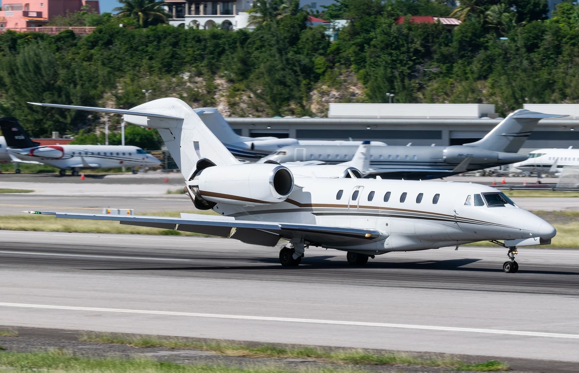 Tue, Nov 3TodayHoustonKHOU · William P Hobby AirportQueretaroMMQT · Queretaro Intercontinental AirportCitation X8—On request3NovHouston → QueretaroKHOU → MMQT · TodayCitation X · 8 seatsOn request
- Tue, Nov 3TodayHoustonKHOU · William P HobbyDallasKRBD · Dallas ExecutivePilatus PC 12 NG7—$3,9333NovHouston → DallasKHOU → KRBD · TodayPilatus PC 12 NG · 7 seats$3,933
- Tue, Nov 303:00HoustonKHOU · William P HobbyScottsdaleKSDLBombardier Challenger 3009—$26,6203NovHouston → ScottsdaleKHOU → KSDL · 03:00Bombardier Challenger 300 · 9 seats$26,620
- Tue, Nov 3TodayHoustonKHOU · William P Hobby AirportPensacolaKPNS · Pensacola Regional AirportBeechcraft King Air 35081h 48mOn request3NovHouston → PensacolaKHOU → KPNS · TodayBeechcraft King Air 350 · 8 seats · 1h 48mOn request
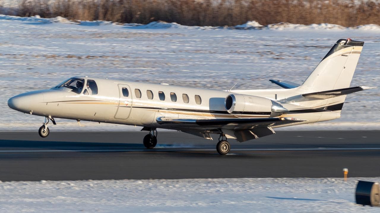 Wed, Nov 4TomorrowHoustonKHOU · William P Hobby AirportFort WorthKFTW · Fort Worth Meacham International AirportCitation Ultra7—$3,8244NovHouston → Fort WorthKHOU → KFTW · TomorrowCitation Ultra · 7 seats$3,824
 Wed, Nov 4TomorrowHoustonKHOU · William P Hobby AirportSan AntonioKSAT · San Antonio International AirportChallenger 3008—On request4NovHouston → San AntonioKHOU → KSAT · TomorrowChallenger 300 · 8 seatsOn request
- Wed, Nov 406:36HoustonKHOU · William P Hobby AirportHoustonKIWS · West Houston AirportPilatus PC-128—$3,6304NovHouston → HoustonKHOU → KIWS · 06:36Pilatus PC-12 · 8 seats$3,630
- Wed, Nov 4TomorrowHoustonKHOU · William P Hobby AirportTampaKMCF · MacDill Air Force BaseHawker 9008—$13,8604NovHouston → TampaKHOU → KMCF · TomorrowHawker 900 · 8 seats$13,860
- Wed, Nov 4TomorrowHoustonKHOU · William P Hobby AirportTampaKTPA · Tampa International AirportHawker 9008—$13,8604NovHouston → TampaKHOU → KTPA · TomorrowHawker 900 · 8 seats$13,860
 KHOU · William P Hobby Airport
 MMQT · Queretaro Intercontinental Airport
* Total price incl. 10% service fee, converted to your selected currency. Price subject to operator confirmation.
Empty legs to KHOU
100 arrivals available
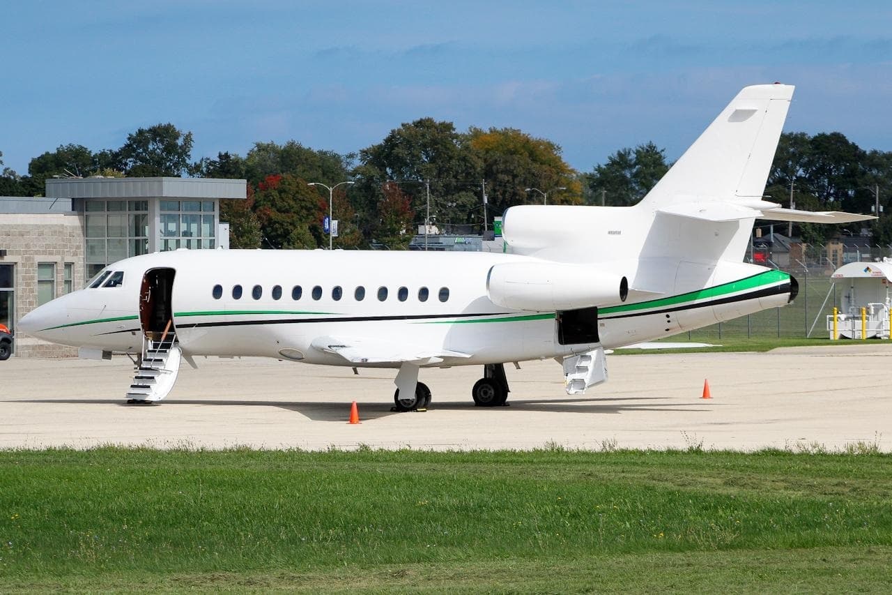 Tue, Nov 3TodayScottsdaleKSDL · Scottsdale AirportHoustonKHOU · William P Hobby AirportFalcon 900B14—On request3NovScottsdale → HoustonKSDL → KHOU · TodayFalcon 900B · 14 seatsOn request
- Tue, Nov 3TodayBirminghamKBHM · Birmingham-Shuttlesworth IntlHoustonKHOU · William P HobbyChallenger 604—1h 43m$12,8703NovBirmingham → HoustonKBHM → KHOU · TodayChallenger 604 · 1h 43m$12,870
- Tue, Nov 3TodayScottsdaleKSDLHoustonKHOU · William P HobbyFalcon 900B——On request3NovScottsdale → HoustonKSDL → KHOU · TodayFalcon 900BOn request
 Tue, Nov 301:00BirminghamKBHM · Birmingham-Shuttlesworth International AirportHoustonKHOU · William P Hobby AirportBombardier Challenger 60411h 30m$14,4143NovBirmingham → HoustonKBHM → KHOU · 01:00Bombardier Challenger 604 · 1 seat · 1h 30m$14,414
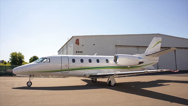 Tue, Nov 317:24San AntonioKSAT · San Antonio International AirportHoustonKHOU · William P Hobby AirportCessna Citation XLS142m$1,9993NovSan Antonio → HoustonKSAT → KHOU · 17:24Cessna Citation XLS · 1 seat · 42m$1,999
- Tue, Nov 3TodayShreveportKSHV · Shreveport Regional AirportHoustonKHOU · William P Hobby AirportBeechcraft King Air 35081h 6mOn request3NovShreveport → HoustonKSHV → KHOU · TodayBeechcraft King Air 350 · 8 seats · 1h 6mOn request
 Tue, Nov 3TodaySan AntonioKSAT · San Antonio International AirportHoustonKHOU · William P Hobby AirportCitation XLS8—$7,3983NovSan Antonio → HoustonKSAT → KHOU · TodayCitation XLS · 8 seats$7,398
- Wed, Nov 418:06HoustonKIWS · West Houston AirportHoustonKHOU · William P Hobby AirportPilatus PC-128—$5,5004NovHouston → HoustonKIWS → KHOU · 18:06Pilatus PC-12 · 8 seats$5,500
- Wed, Nov 4TomorrowSan AntonioKSAT · San Antonio International AirportHoustonKHOU · William P Hobby AirportCitation XLS8—$3,5044NovSan Antonio → HoustonKSAT → KHOU · TomorrowCitation XLS · 8 seats$3,504
* Total price incl. 10% service fee, converted to your selected currency. Price subject to operator confirmation.
Map: Houston Airport
View the location of Houston – HOU/KHOU. Zoom in to explore the area around the airport.
About the airport
William P Hobby Airport (HOU/KHOU) is the key private jet gateway for Houston. PrivJet gives you instant access to charter flights and empty legs: fast, discreet and globally connected.
KHOU airport FAQ
Are there any restrictions at Houston airport (KHOU) today?
There are currently 49 valid NOTAMs for Houston (KHOU). According to NOTAM, at least one runway or the aerodrome itself is closed. Affected: Runway: closed; Taxiway: closed; Obstacle lights: unserviceable; PAPI: unserviceable and 3 more. 4 more NOTAMs start in the coming days. For information only, not for flight planning or operational use. Always rely on an official pre-flight briefing. This list may be incomplete or out of date.
How long are the runways at Houston airport (KHOU)?
Houston (KHOU) has 3 runways: runway 04/22 with 2,317 m (7,602 ft), concrete, runway 13R/31L with 2,317 m (7,602 ft), asphalt and runway 13L/31R with 1,569 m (5,148 ft), concrete. The longest is 2,317 m.
What are the radio frequencies at Houston airport (KHOU)?
Frequencies at KHOU: Tower 118.7 MHz, Ground 121.9 MHz and ATIS 124.6 MHz. For information only. Always rely on the published AIP.
What are the airport codes of William P Hobby Airport?
The ICAO code is KHOU and the IATA code is HOU. ICAO codes are used by air traffic control and pilots, e.g. in flight plans; IATA codes appear on tickets and baggage tags.
What is the elevation of KHOU airport?
William P Hobby Airport sits at 46 ft (14 m) above sea level. Local time zone: America/Chicago.
Where do private jets land at Houston William P Hobby?
KHOU has 6 private jet terminals or FBOs: Signature Aviation HOU, Atlantic Aviation HOU, Jet Aviation Houston, Million Air Houston, Galaxy FBO Houston Hobby and Wilson Air Center Houston. Your flight confirmation says which one your operator uses.
Can I fly to KHOU by private jet?
Whether a private jet can operate into William P Hobby Airport depends on runway length, opening hours, customs and immigration rules as well as slot and handling availability, among other things. PrivJet checks this with the operating carrier for every request.
Are there empty legs from or to KHOU?
There are currently 100 empty legs departing from and 100 arriving at William P Hobby Airport. Empty legs are repositioning flights at heavily reduced prices; the list is updated several times a day.