White Plains Westchester County Airport (KHPN / HPN)
Empty legs and charters from White Plains
KHPN airport at a glance
- ICAO code
- KHPN
- IATA code
- HPN
- City
- White Plains
- Region
- New York
- Country
- United States
- Elevation
- 439 ft (134 m)
- Time zone
- America/New York (UTC-5)
- Coordinates
- 41.0670° N, 73.7076° W
- Empty legs from
- 100
- Empty legs to
- 100
Private jet terminal & FBOs at White Plains Westchester County
- Signature Aviation HPN East2 Hangar Road, White Plains, NY 10604
- Signature Aviation HPN West85 Tower Road, White Plains, NY 10604
- Atlantic Aviation HPN East184 Airport Rd, Hangar D3, White Plains, NY 10604
- Atlantic Aviation HPN West67 Tower Road, Hangar T, White Plains, NY 10604
- Million Air White Plains136 Tower Road, Hangar M, White Plains, NY 10604
Weather & airport info KHPN
Current weather
Good visual conditions (VFR)observed 02 Nov, 21:56 UTC- Wind
- 5 kt (9 km/h) from south (180°)
- Visibility
- 10 km or more
- Clouds
- no significant clouds
- Temperature
- 14 °C (dew point 6 °C)
- Pressure (QNH)
- 1,027 hPa
Original weather report (METAR)
METAR KHPN 022156Z 18005KT 10SM CLR 14/06 A3031 RMK AO2 SLP265 T01440056
Forecast (TAF)
- 02 Nov, 23:00–15:00 UTCfrom3 kt (6 km/h) from variable directions · visibility 10 km or more · few clouds at 25,000 ft
- 03 Nov, 15:00–18:00 UTCfrom7 kt (13 km/h) from southwest (220°) · visibility 10 km or more · few clouds at 25,000 ft
Original forecast (TAF)
TAF KHPN 022039Z 0221/0318 21008KT P6SM FEW250 FM022300 VRB03KT P6SM FEW250 FM031500 22007KT P6SM FEW250 AMD NOT SKED
Airport
- Elevation
- 439 ft (134 m)
- Sunrise / Sunset
- 06:27 / 16:48 local time
Runways
| Runway | Length | Surface | Lighted |
|---|---|---|---|
| 16/34 | 1,996 m (6,549 ft) | asphalt | yes |
| 11/29 | 1,357 m (4,451 ft) | asphalt | yes |
Radio frequencies
- Approach: 120.8
- ATIS: 133.8
- Clearance: 127.25
- CTAF: 118.575
- Ground: 121.825
- Tower: 118.575
- UNICOM: 122.95
For information only, not for flight planning. Weather can change quickly; always rely on official reports. Sources: aviationweather.gov (NOAA), OurAirports.
Airport map KHPN
Full screen →Runways white, taxiways yellow with designators, closed taxiways and runways per NOTAM in red.
Closed per NOTAM: TWY K, TWY C
Official charts (FAA)
Cycle 2611, valid until 0901Z 11/26/26
Airport diagram (FAA)
Airport diagram (1)
Instrument approaches (8)
Departure procedures (4)
Minimums (2)
Hot spots (1)
LAHSO (1)
For information only, not for navigation. Always use current official charts and NOTAMs.
Current NOTAMs for KHPN(14)
NOTAMs (Notices to Air Missions) announce short-term changes at an airport: closed runways or taxiways, unserviceable approach aids, obstacles, airspace restrictions.
- ClosedTaxiway: closedA4742/26· until 14 Mar, 13:00 UTC
Taxiway K (hold pad) is closed because of aircraft parking.
Show original text
TWY K HOLD PAD CLSD FOR ACFT PRKG
A4742/26 NOTAMN
Q) KZNY/QMXLC////000/999/4104N07342W005
A) KHPN
B) 2611020100
C) 2703141300
D) DLY 0100-1300
E) TWY K HOLD PAD CLSD FOR ACFT PRKG
Hours: DLY 0100-1300
- ClosedTaxiway: closedA4741/26· until 14 Mar, 13:00 UTC
Taxiway K between approach end of runway 29 and taxiway A is closed for aircraft parking.
Show original text
TWY K BTN APCH END RWY 29 AND TWY A CLSD FOR ACFT PRKG
A4741/26 NOTAMN
Q) KZNY/QMXLC////000/999/4104N07342W005
A) KHPN
B) 2611010100
C) 2703141300
D) DLY 0100-1300
E) TWY K BTN APCH END RWY 29 AND TWY A CLSD FOR ACFT PRKG
Hours: DLY 0100-1300
- Out of serviceRunway end identifier lights: unserviceableA4744/26· until 30 Nov, 23:00 UTC
Runway 11 runway END ID light out of service
Show original text
RWY 11 RWY END ID LGT U/S
A4744/26 NOTAMN
Q) KZNY/QLIAS////000/999/4104N07342W005
A) KHPN
B) 2610301139
C) 2611302300
E) RWY 11 RWY END ID LGT U/S
- ClosedTaxiway: closed10/229· until 25 Nov, 17:00 UTC
The runup pad on taxiway C is closed.
Show original text
TWY C RUNUP PAD CLSD
A4699/26 NOTAMN Q) KZNY/QMXLC////000/999/4104N07342W005 A) KHPN B) 2610252035 C) 2611251700 E) TWY C RUNUP PAD CLSD
- Out of serviceObstacle10/204· until 14 Jan, 23:59 UTC
A tower 4.5 nautical miles west of the airport has a light that is out of service. Its top is 870.1 ft above sea level, 490.2 ft above ground.
Show original text
OBST TOWER LGT (ASR 1002472) 410449.00N0734824.00W (4.5NM W HPN) 870.1FT (490.2FT AGL) U/S
- Out of serviceStandard instrument departure: changed9236/26· until 25 May, 18:46 UTC (estimated)
The standard departure route (SID) White from Westchester County is not available, except for aircraft equipped with a suitable RNAV system with GPS, as the COL VOR is out of service.
Show original text
SID WESTCHESTER COUNTY, WHITE PLAINS, NY. WESTCHESTER EIGHT DEPARTURE... WHITE DEPARTURES: NA EXCEPT FOR AIRCRAFT EQUIPPED WITH SUITABLE RNAV SYSTEM WITH GPS, COL VOR OUT OF SERVICE. 2610131846-2705251846EST
Q) KZNY/QPDCH/I/NBO/A/000/999/4104N07342W005
A) KHPN
B) 2403121409
C) 2603121408EST
E) HPN WESTCHESTER COUNTY, WHITE PLAINS, NY.
WESTCHESTER EIGHT DEPARTURE...
WHITE DEPARTURES: NA EXCEPT FOR AIRCRAFT EQUIPPED WITH SUITABLE RNAV SYSTEM WITH GPS,
COL VOR U/S.
- Out of serviceStandard instrument departure: changedA4518/26· until 25 May, 18:46 UTC
The standard departure route (SID) WESTCHESTER EIGHT DEPARTURE, WHITE DEPARTURES, is not available except for aircraft equipped with a suitable RNAV system with GPS, as the COL VOR is out of service.
Show original text
SID WESTCHESTER COUNTY, WHITE PLAINS, NY. WESTCHESTER EIGHT DEPARTURE... WHITE DEPARTURES: NA EXCEPT FOR AIRCRAFT EQUIPPED WITH SUITABLE RNAV SYSTEM WITH GPS, COL VOR OUT OF SERVICE.
A4518/26 NOTAMN
Q) KZNY/QPDCH/I/NBO/A/000/999/4104N07342W005
A) KHPN
B) 2610131846
C) 2705251846
E) SID WESTCHESTER COUNTY, WHITE PLAINS, NY. WESTCHESTER EIGHT DEPARTURE... WHITE DEPARTURES: NA EXCEPT FOR AIRCRAFT EQUIPPED WITH SUITABLE RNAV SYSTEM WITH GPS, COL VOR OUT OF SERVICE.
- Out of serviceStandard instrument departure: changed5296/26· until 06 May, 15:10 UTC (estimated)
The COATE and ELIOT DEPARTURES standard departure routes (SIDs) at Westchester County airport are only available for aircraft equipped with a suitable RNAV system with GPS, as the SAX VORTAC is out of service.
Show original text
SID WESTCHESTER COUNTY, WHITE PLAINS, NY. PROP ONE DEPARTURE... COATE, ELIOT DEPARTURES NA EXCEPT FOR AIRCRAFT EQUIPPED WITH SUITABLE RNAV SYSTEM WITH GPS, SAX VORTAC OUT OF SERVICE. 2609241510-2705061510EST
Q) KZNY/QPDCH/I/NBO/A/000/999/4104N07342W005
A) KHPN
B) 2404301307
C) 2412101307EST
E) HPN WESTCHESTER COUNTY, WHITE PLAINS, NY.
PROP ONE DEPARTURE...
COATE, ELIOT DEPARTURES NA EXCEPT FOR AIRCRAFT EQUIPPED WITH SUITABLE RNAV SYSTEM WITH GPS,
SAX VORTAC U/S.
6 more NOTAMs
- Out of serviceProcedure5312/26· until 06 May, 15:10 UTC (estimated)
The standard departure routes (SIDs) "WESTCHESTER EIGHT DEPARTURE" for COATE, ELIOT, NEWEL, and ZIMMZ are not available except for aircraft equipped with a suitable RNAV system with GPS, because the SAX VORTAC is out of service.
Show original text
SID WESTCHESTER COUNTY, WHITE PLAINS, NY. WESTCHESTER EIGHT DEPARTURE... COATE, ELIOT, NEWEL, ZIMMZ DEPARTURES: NA EXCEPT FOR AIRCRAFT EQUIPPED WITH SUITABLE RNAV SYSTEM WITH GPS, SAX VORTAC OUT OF SERVICE. 2609241510-2705061510EST
Q) KZNY/undefined/NBO/A/000/999/4104N07342W005
A) KHPN
B) 2404301305
C) 2412101305EST
E) HPN WESTCHESTER COUNTY, WHITE PLAINS, NY.
WESTCHESTER EIGHT DEPARTURE...
COATE, ELIOT, NEWEL, ZIMMZ DEPARTURES: NA EXCEPT FOR AIRCRAFT EQUIPPED WITH SUITABLE RNAV SYSTEM WITH GPS, SAX VORTAC OUT OF SERVICE.
- Out of serviceStandard instrument departure: changedA4160/26· until 06 May, 15:10 UTC
The standard departure routes (SIDs) "WESTCHESTER EIGHT DEPARTURE" for COATE, ELIOT, NEWEL, and ZIMMZ are not available except for aircraft equipped with a suitable RNAV system with GPS, because the SAX VORTAC is out of service.
Show original text
SID WESTCHESTER COUNTY, WHITE PLAINS, NY. WESTCHESTER EIGHT DEPARTURE... COATE, ELIOT, NEWEL, ZIMMZ DEPARTURES: NA EXCEPT FOR AIRCRAFT EQUIPPED WITH SUITABLE RNAV SYSTEM WITH GPS, SAX VORTAC OUT OF SERVICE.
A4160/26 NOTAMN
Q) KZNY/QPDCH/I/NBO/A/000/999/4104N07342W005
A) KHPN
B) 2609241510
C) 2705061510
E) SID WESTCHESTER COUNTY, WHITE PLAINS, NY. WESTCHESTER EIGHT DEPARTURE... COATE, ELIOT, NEWEL, ZIMMZ DEPARTURES: NA EXCEPT FOR AIRCRAFT EQUIPPED WITH SUITABLE RNAV SYSTEM WITH GPS, SAX VORTAC OUT OF SERVICE.
- Out of serviceStandard instrument departure: changedA4161/26· until 06 May, 15:10 UTC
The COATE and ELIOT DEPARTURES standard departure routes (SIDs) at Westchester County airport are only available for aircraft equipped with a suitable RNAV system with GPS, as the SAX VORTAC is out of service.
Show original text
SID WESTCHESTER COUNTY, WHITE PLAINS, NY. PROP ONE DEPARTURE... COATE, ELIOT DEPARTURES NA EXCEPT FOR AIRCRAFT EQUIPPED WITH SUITABLE RNAV SYSTEM WITH GPS, SAX VORTAC OUT OF SERVICE.
A4161/26 NOTAMN
Q) KZNY/QPDCH/I/NBO/A/000/999/4104N07342W005
A) KHPN
B) 2609241510
C) 2705061510
E) SID WESTCHESTER COUNTY, WHITE PLAINS, NY. PROP ONE DEPARTURE... COATE, ELIOT DEPARTURES NA EXCEPT FOR AIRCRAFT EQUIPPED WITH SUITABLE RNAV SYSTEM WITH GPS, SAX VORTAC OUT OF SERVICE.
- NoticeTaxiway: work in progressA4722/26· until 13 Nov, 10:30 UTC
Taxiway E between runway 16/34 and taxiway A is closed due to construction work on the south side, adjacent to lighted and barricaded areas.
Show original text
TWY E BTN RWY 16/34 AND TWY A WIP CONST SOUTH SIDE ADJ LGTD AND BARRICADED
A4722/26 NOTAMN
Q) KZNY/QMXHW////000/999/4104N07342W005
A) KHPN
B) 2610280622
C) 2611131030
E) TWY E BTN RWY 16/34 AND TWY A WIP CONST SOUTH SIDE ADJ LGTD AND BARRICADED
- NoticeAerodrome: concentration of birds10/189· until 30 Nov, 23:00 UTC
At Westchester County airport, bird activity has increased on the approach and departure paths.
Show original text
AD AP BIRD ACT INCREASED ON APCH AND DEP PATHS
A4604/26 NOTAMN
Q) KZNY/QFAHX////000/999/4104N07342W005
A) KHPN
B) 2610181730
C) 2611302300
E) AD AP BIRD ACT INCREASED ON APCH AND DEP PATHS
- NoticeAerodrome: concentration of birdsA4604/26· until 30 Nov, 23:00 UTC
At Westchester County airport, bird activity has increased on the approach and departure paths.
Show original text
AD AP BIRD ACT INCREASED ON APCH AND DEP PATHS
A4604/26 NOTAMN Q) KZNY/QFAHX////000/999/4104N07342W005 A) KHPN B) 2610181730 C) 2611302300 E) AD AP BIRD ACT INCREASED ON APCH AND DEP PATHS
For information only, not for flight planning or operational use. Always rely on an official pre-flight briefing. This list may be incomplete or out of date. Explanations and expanded abbreviations are generated automatically. The original text is authoritative. Source: FAA NOTAM Management Service (SWIM).
Private jet traffic in Westchester County Airport (last 30 days)
- Arrivals
- 3,459
- Departures
- 2,906
- Different jets
- 1,705
Most frequent origins: Teterboro Airport (222), Laurence G Hanscom Field (107), Washington Dulles International Airport (105), Martha's Vineyard Airport (70), Nantucket Memorial Airport (64).
Most frequent destinations: Nantucket Memorial Airport (161), Teterboro Airport (152), Martha's Vineyard Airport (85), Washington Dulles International Airport (83), Laurence G Hanscom Field (75).
Most common aircraft types: Pilatus PC-12 (1,161), Embraer Phenom 300 (495), Bombardier Challenger 350/3500 (423), Cessna Citation Latitude (381), Bombardier Challenger 600/650 (232).
Sunday is the busiest day.
Our own analysis of public ADS-B signals from business jets. Not every flight is received, and jets with a removal request are excluded.
Charter operators based here
Operators with a base at this airport.
- Solairus AviationVan Nuys (KVNY) · Turboprop, Light jet, Midsize jet
- Executive Jet ManagementLight jet, Midsize jet, Super midsize jet
- VistaJetMalta (Luqa) (LMML) · Turboprop, Light jet, Midsize jet
- Jet Edge InternationalVan Nuys (KVNY) · Midsize jet, Super midsize jet, Heavy jet
- Wheels UpDenver (Rocky Mountain Metropolitan) (KBJC) · Turboprop, Light jet, Midsize jet
- Jet Aviation Flight ServicesTeterboro (KTEB) · Light jet, Super midsize jet, Heavy jet
- Tradewind AviationWaterbury-Oxford (KOXC) · Turboprop
- Fly AllianceOrlando Executive (KORL) · Light jet, Midsize jet, Super midsize jet
- Talon AirFarmingdale (Republic) (KFRG) · Midsize jet, Super midsize jet, Heavy jet
- Aircraft Services GroupTeterboro (KTEB) · Light jet, Midsize jet, Super midsize jet
- AirshareKansas City (Downtown-Charles B Wheeler) (KMKC) · Light jet, Midsize jet, Super midsize jet
- JSXDallas (Love Field) (KDAL) · Turboprop, Super midsize jet
- Liberty Jet ManagementSuper midsize jet, Heavy jet
- Flexjet Vertical LiftBridgeport-Sikorsky (KBDR) · Helicopter
- SofarTurboprop, Light jet
- Blue Skies Aviation & LogisticsTurboprop, Super midsize jet
- Flying ZebraTurboprop
- Taughannock AviationIthaca (Tompkins Regional) (KITH) · Midsize jet, Heavy jet
- Interlaken Capital Aviation ServicesHeavy jet, Helicopter
- Wings Air HelicoptersHelicopter
- Sky Air CharterPiston aircraft
- White Cloud CharterHeavy jet
Empty legs from KHPN
100 departures available
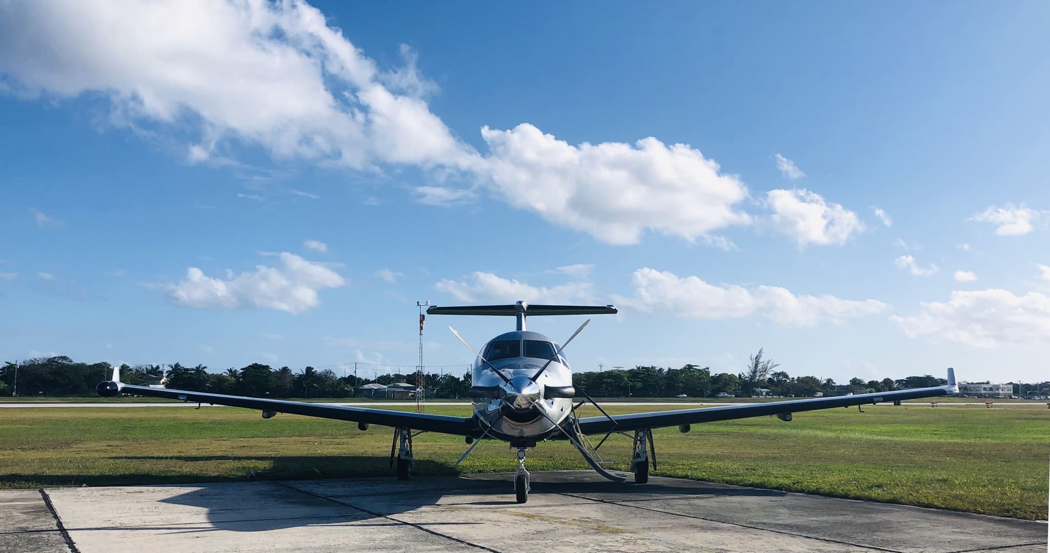 Tue, Nov 3TodayWestchesterKHPN · Westchester County AirportPortlandKPWM · Portland International Jetport AirportPilatus PC-128—On request3NovWestchester → PortlandKHPN → KPWM · TodayPilatus PC-12 · 8 seatsOn request
 Tue, Nov 3TodayWestchesterKHPN · Westchester County AirportNorth Little RockKLIT · Adams FieldGulfstream GIV14—On request3NovWestchester → North Little RockKHPN → KLIT · TodayGulfstream GIV · 14 seatsOn request
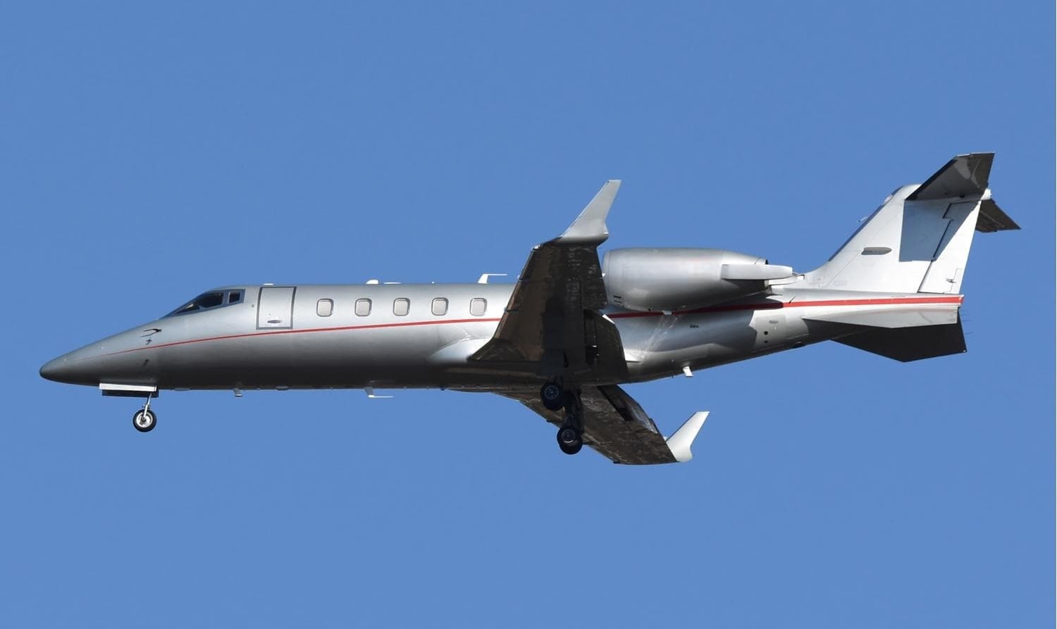 Tue, Nov 3TodayWestchesterKHPN · Westchester County AirportTorontoCYYZ · Lester B. Pearson International AirportLearjet 60XR8—$14,5203NovWestchester → TorontoKHPN → CYYZ · TodayLearjet 60XR · 8 seats$14,520
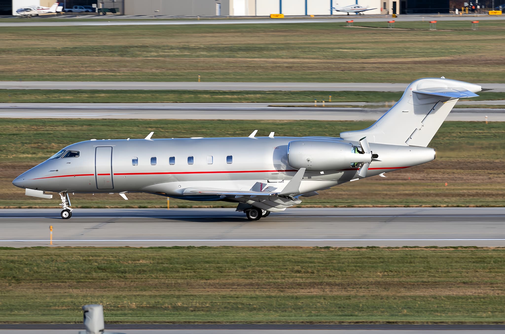 Tue, Nov 3TodayWestchesterKHPN · Westchester County AirportEast HamptonKJPX · Town of East Hampton AirportChallenger 3008—On request3NovWestchester → East HamptonKHPN → KJPX · TodayChallenger 300 · 8 seatsOn request
- Tue, Nov 310:40White PlainsKHPN · Westchester County AirportLexingtonKLEX · Blue Grass AirportEmbraer Phenom 1004—$3,0803NovWhite Plains → LexingtonKHPN → KLEX · 10:40Embraer Phenom 100 · 4 seats$3,080
- Tue, Nov 322:45White PlainsKHPN · Westchester CountyPontiacKPTK · Oakland County IntlBombardier Learjet 607—$15,4283NovWhite Plains → PontiacKHPN → KPTK · 22:45Bombardier Learjet 60 · 7 seats$15,428
- Tue, Nov 318:54White PlainsKHPN · Westchester CountyTorontoCYYZ · Lester B. Pearson IntlBombardier Learjet 607—$10,8903NovWhite Plains → TorontoKHPN → CYYZ · 18:54Bombardier Learjet 60 · 7 seats$10,890
- Tue, Nov 3TodayWhite PlainsKHPN · Westchester County AirportIslipKISP · Long Island Mac Arthur AirportChallenger 30010—$9,4603NovWhite Plains → IslipKHPN → KISP · TodayChallenger 300 · 10 seats$9,460
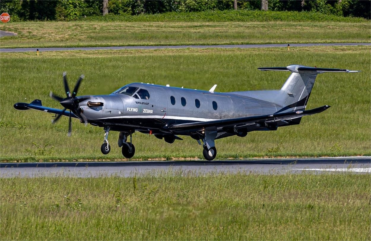 Wed, Nov 4TomorrowWestchesterKHPN · Westchester County AirportWashingtonKIAD · Washington Dulles International AirportPilatus PC-126—$4,4004NovWestchester → WashingtonKHPN → KIAD · TomorrowPilatus PC-12 · 6 seats$4,400
 KHPN · Westchester County Airport
 CYYZ · Lester B. Pearson International Airport
* Total price incl. 10% service fee, converted to your selected currency. Price subject to operator confirmation.
Empty legs to KHPN
100 arrivals available
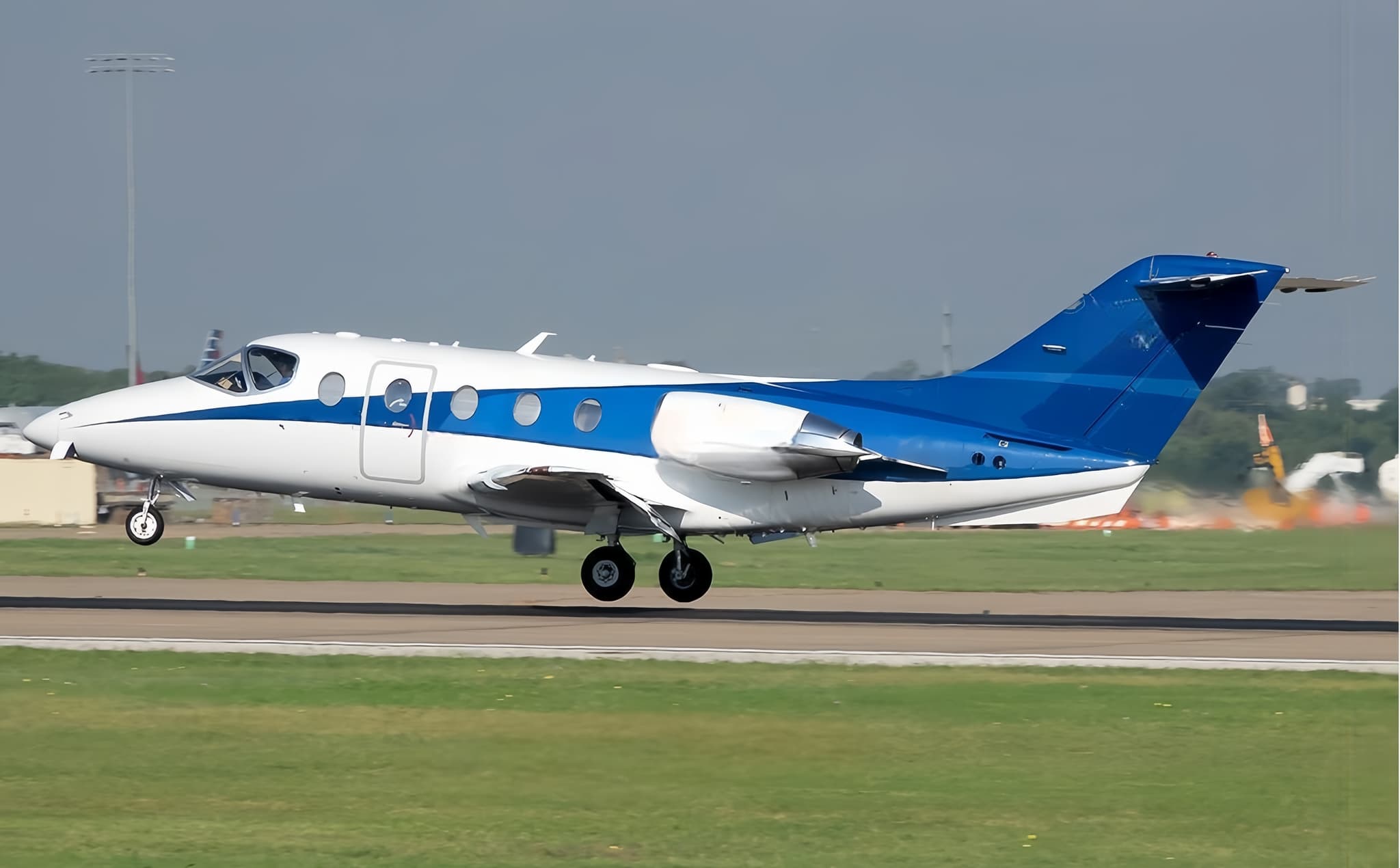 Tue, Nov 3TodayOrlandoKISM · Kissimmee Gateway AirportWestchesterKHPN · Westchester County AirportHawker 400XP8—$13,1853NovOrlando → WestchesterKISM → KHPN · TodayHawker 400XP · 8 seats$13,185
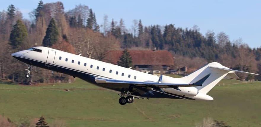 Tue, Nov 3TodayParisLFPB · Paris-Le Bourget AirportWestchesterKHPN · Westchester County AirportGlobal Express XRS14—On request3NovParis → WestchesterLFPB → KHPN · TodayGlobal Express XRS · 14 seatsOn request
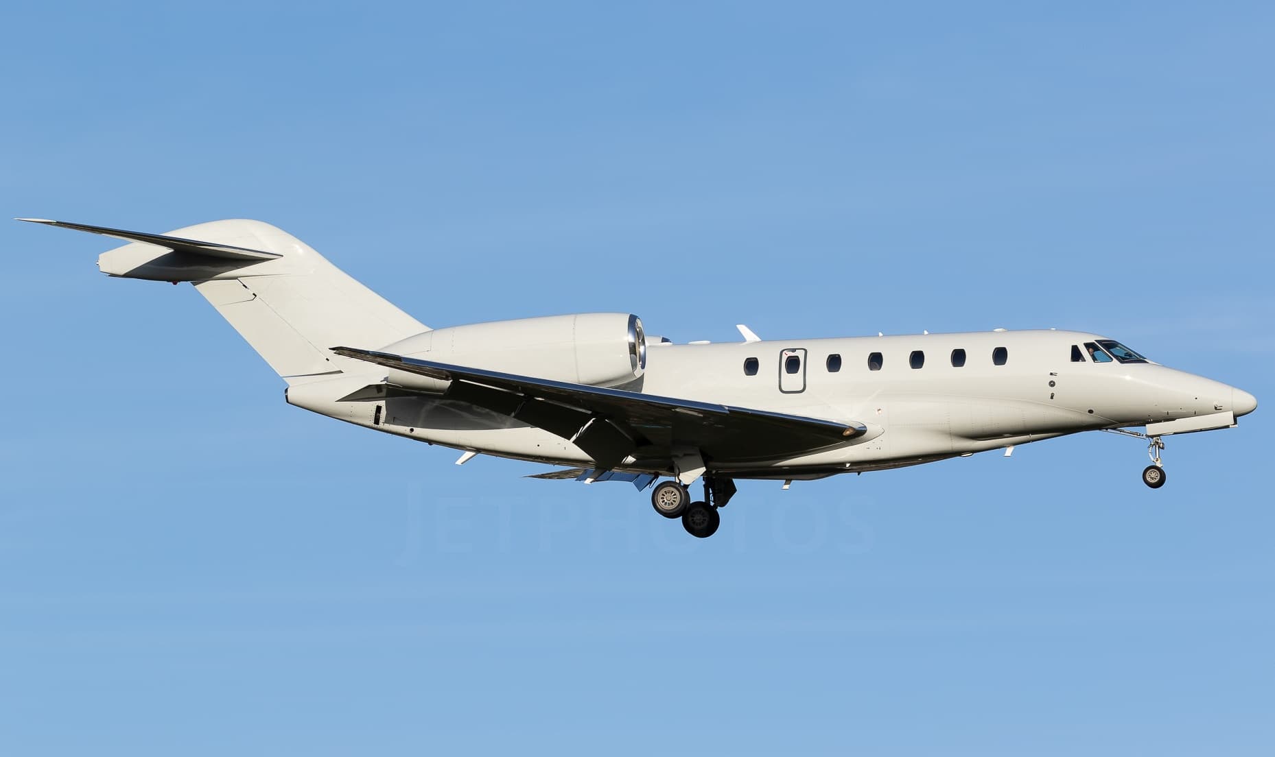 Tue, Nov 3TodayScottsdaleKSDL · Scottsdale AirportWestchesterKHPN · Westchester County AirportCitation X8—On request3NovScottsdale → WestchesterKSDL → KHPN · TodayCitation X · 8 seatsOn request
- Tue, Nov 318:08DestinKDTS · Destin Executive AirportWhite PlainsKHPN · Westchester County AirportCessna Citation Encore7—$9,7903NovDestin → White PlainsKDTS → KHPN · 18:08Cessna Citation Encore · 7 seats$9,790
- Tue, Nov 314:00TeterboroKTEB · Teterboro AirportWhite PlainsKHPN · Westchester County AirportBombardier Challenger 3009—$10,0103NovTeterboro → White PlainsKTEB → KHPN · 14:00Bombardier Challenger 300 · 9 seats$10,010
 Tue, Nov 3TodayOaklandKOAK · Metropolitan Oakland International AirportWhite PlainsKHPN · Westchester County AirportCitation Sovereign8—On request3NovOakland → White PlainsKOAK → KHPN · TodayCitation Sovereign · 8 seatsOn request
- Tue, Nov 3TodayVan NuysKVNY · Van Nuys AirportWhite PlainsKHPN · Westchester County AirportChallenger 30010—$42,5703NovVan Nuys → White PlainsKVNY → KHPN · TodayChallenger 300 · 10 seats$42,570
 Wed, Nov 4TomorrowGrand RapidsKGRR · Gerald R. Ford International AirportWestchesterKHPN · Westchester County AirportChallenger 3008—On request4NovGrand Rapids → WestchesterKGRR → KHPN · TomorrowChallenger 300 · 8 seatsOn request
- Wed, Nov 4TomorrowMonroeKMLU · Monroe Regional AirportWhite PlainsKHPN · Westchester County AirportBombardier Learjet 60XR7—On request4NovMonroe → White PlainsKMLU → KHPN · TomorrowBombardier Learjet 60XR · 7 seatsOn request
 LFPB · Paris-Le Bourget Airport
* Total price incl. 10% service fee, converted to your selected currency. Price subject to operator confirmation.
Map: White Plains Airport
View the location of White Plains – HPN/KHPN. Zoom in to explore the area around the airport.
About the airport
Westchester County Airport (HPN/KHPN) is the key private jet gateway for White Plains. PrivJet gives you instant access to charter flights and empty legs: fast, discreet and globally connected.
KHPN airport FAQ
Are there any restrictions at White Plains airport (KHPN) today?
There are currently 14 valid NOTAMs for White Plains (KHPN). Affected: Taxiway: closed; Runway end identifier lights: unserviceable; Obstacle: out of service; Standard instrument departure: changed and 1 more. For information only, not for flight planning or operational use. Always rely on an official pre-flight briefing. This list may be incomplete or out of date.
What is the weather at White Plains airport (KHPN)?
According to the latest weather report for KHPN (METAR, 02 Nov, 21:56 UTC): Good visual conditions (VFR). Wind 5 kt (9 km/h) from south (180°), visibility 10 km or more, temperature 14 °C (dew point 6 °C). For information only, not for flight planning. Weather can change quickly; always rely on official reports.
How long are the runways at White Plains airport (KHPN)?
White Plains (KHPN) has 2 runways: runway 16/34 with 1,996 m (6,549 ft), asphalt and runway 11/29 with 1,357 m (4,451 ft), asphalt. The longest is 1,996 m.
What are the radio frequencies at White Plains airport (KHPN)?
Frequencies at KHPN: Tower 118.575 MHz, Ground 121.825 MHz and ATIS 133.8 MHz. For information only. Always rely on the published AIP.
What are the airport codes of Westchester County Airport?
The ICAO code is KHPN and the IATA code is HPN. ICAO codes are used by air traffic control and pilots, e.g. in flight plans; IATA codes appear on tickets and baggage tags.
What is the elevation of KHPN airport?
Westchester County Airport sits at 439 ft (134 m) above sea level. Local time zone: America/New York.
Where do private jets land at White Plains Westchester County?
KHPN has 5 private jet terminals or FBOs: Signature Aviation HPN East, Signature Aviation HPN West, Atlantic Aviation HPN East, Atlantic Aviation HPN West and Million Air White Plains. Your flight confirmation says which one your operator uses.
Can I fly to KHPN by private jet?
Whether a private jet can operate into Westchester County Airport depends on runway length, opening hours, customs and immigration rules as well as slot and handling availability, among other things. PrivJet checks this with the operating carrier for every request.
Are there empty legs from or to KHPN?
There are currently 100 empty legs departing from and 100 arriving at Westchester County Airport. Empty legs are repositioning flights at heavily reduced prices; the list is updated several times a day.