West Palm Beach Palm Beach County Park Airport (KLNA / LNA)
Empty legs and charters from West Palm Beach
KLNA airport at a glance
- ICAO code
- KLNA
- IATA code
- LNA
- City
- West Palm Beach
- Region
- Florida
- Country
- United States
- Elevation
- 14 ft (4 m)
- Time zone
- America/New York (UTC-5)
- Coordinates
- 26.5930° N, 80.0851° W
- Empty legs from
- 63
- Empty legs to
- 46
Weather & airport info KLNA
Current weather
Marginal visual conditions (MVFR)observed 04 Nov, 05:15 UTC- Wind
- 5 kt (9 km/h) from east-northeast (70°)
- Visibility
- 10 km or more
- Weather
- Thunderstorm
- Clouds
- broken clouds at 1,800 ft, broken clouds at 2,600 ft, overcast at 5,500 ft
- Temperature
- 24 °C (dew point 19 °C)
- Pressure (QNH)
- 1,015 hPa
Original weather report (METAR)
METAR KLNA 040515Z AUTO 07005KT 10SM TS BKN018 BKN026 OVC055 24/19 A2998 RMK AO2 LTG DSNT S T02420190
Airport
- Elevation
- 14 ft (4 m)
- Sunrise / Sunset
- 06:31 / 17:36 local time
Runways
| Runway | Length | Surface | Lighted |
|---|---|---|---|
| 10/28 | 1,063 m (3,489 ft) | asphalt | yes |
| 16/34 | 1,043 m (3,421 ft) | asphalt | yes |
| 04/22 | 992 m (3,256 ft) | asphalt | yes |
Radio frequencies
- UNICOM: 122.7
For information only, not for flight planning. Weather can change quickly; always rely on official reports. Sources: aviationweather.gov (NOAA), OurAirports.
Airport map KLNA
Full screen →Runways white, taxiways yellow with designators, closed taxiways and runways per NOTAM in red.
Official charts (FAA)
Cycle 2611, valid until 0901Z 11/26/26
Airport diagram (FAA)
Airport diagram (1)
Instrument approaches (3)
Minimums (2)
For information only, not for navigation. Always use current official charts and NOTAMs.
Current NOTAMs for KLNA(4)
NOTAMs (Notices to Air Missions) announce short-term changes at an airport: closed runways or taxiways, unserviceable approach aids, obstacles, airspace restrictions.
- Out of serviceAerodrome: not available10/494· until 06 Nov, 23:59 UTC
The automated weather broadcast system on frequency 119.925 is out of service. For weather information, you can call 561-964-0308.
Show original text
SVC AUTOMATED WX BCST SYSTEM 119.925 U/S CALL 561-964-0308
10/494 NOTAMR
Q)ZMA/QFMAU/IV/BO/A/000/999/2635N08005W005
A) KLNA
B) 2610301734
C) 2611062359
E) AUTOMATED WX BCST SYSTEM 119.925 U/S CALL 561-964-0308
- Out of serviceObstacle10/389· until 02 Jan, 23:59 UTC
A tower 6.9 nautical miles west of the airport has a light that is out of service. Its top is 1314.0 ft above sea level, 1295.9 ft above ground.
Show original text
OBST TOWER LGT (ASR 1220033) 263521.20N0801242.80W (6.9NM W LNA) 1314.0FT (1295.9FT AGL) U/S
10/389 NOTAMN<BR>
<B>Q) </B>KZMA/QOLAS/IV/M/E/000/014/2635N08005W005<BR>
<B>A) </B>KLNA<BR>
<B>B) </B>2610250117<BR>
<B>C) </B>2701022359<BR>
<B>E) </B> TOWER LGT (ASR 1220033) 263521.20N0801242.80W (6.9NM W LNA) 1314.0FT (1295.9FT AGL) U/S<BR>
- Out of serviceObstacle10/314· until 19 Nov, 23:59 UTC
A lighted tower 6.7 nautical miles west of the airport is out of service. Its top is 1048.9 feet above sea level, 1026.9 feet above ground.
Show original text
OBST TOWER LGT (ASR 1051991) 263519.70N0801228.70W (6.7NM W LNA) 1048.9FT (1026.9FT AGL) U/S
10/314 NOTAMN<BR>
<B>Q) </B>KZMA/QOLAS/IV/M/E/000/011/2635N08005W005<BR>
<B>A) </B>KLNA<BR>
<B>B) </B>2610191506<BR>
<B>C) </B>2611192359<BR>
<B>E) </B> TOWER LGT (ASR 1051991) 263519.70N0801228.70W (6.7NM W LNA) 1048.9FT (1026.9FT AGL) U/S<BR>
- Out of serviceObstacle lights: unserviceable10/311· until 17 Jan, 13:19 UTC
A lighted tower 2.3 nautical miles northwest of the airport is out of service. Its top is 181.1 feet above sea level, 163.1 feet above ground.
Show original text
OBST TOWER LGT (ASR 1029713) 263717.60N0800651.80W (2.3NM NW LNA) 181.1FT (163.1FT AGL) U/S
10/311 NOTAMN<br/>
<b>Q) </b>KZMA/QOLAS/IV/M/AE/000/002/2635N08005W005<br/>
<b>A) </b>KLNA<br/>
<b>B) </b>2610191219<br/>
<b>C) </b>2701171319<br/>
<b>E) </b> TOWER LGT (ASR 1029713) 263717.60N0800651.80W (2.3NM NW LNA) 181.1FT (163.1FT AGL) U/S<br/>
For information only, not for flight planning or operational use. Always rely on an official pre-flight briefing. This list may be incomplete or out of date. Explanations and expanded abbreviations are generated automatically. The original text is authoritative. Source: FAA NOTAM Management Service (SWIM).
Private jet traffic in Palm Beach County Park Airport (last 30 days)
- Arrivals
- 45
- Departures
- 50
- Different jets
- 39
Most frequent destinations: Boca Raton Airport (6), Lake City Gateway Airport (4), Palm Beach International Airport (3).
Most common aircraft types: Epic E1000 (25), Pilatus PC-12 (15), Beechcraft King Air 200/250 (8), Cirrus Vision Jet (5), Cessna Citation CJ2 (4).
Monday is the busiest day.
Our own analysis of public ADS-B signals from business jets. Not every flight is received, and jets with a removal request are excluded.
Charter operators based here
Operators with a base at this airport.
- Great FlightWest Palm Beach (President Donald J Trump Intl) (KDJT) · Turboprop, Light jet
- Island TymePiston aircraft
- Aircoastal HelicoptersHelicopter
- MJ Charters of FloridaPiston aircraft
Empty legs from KLNA
63 departures available
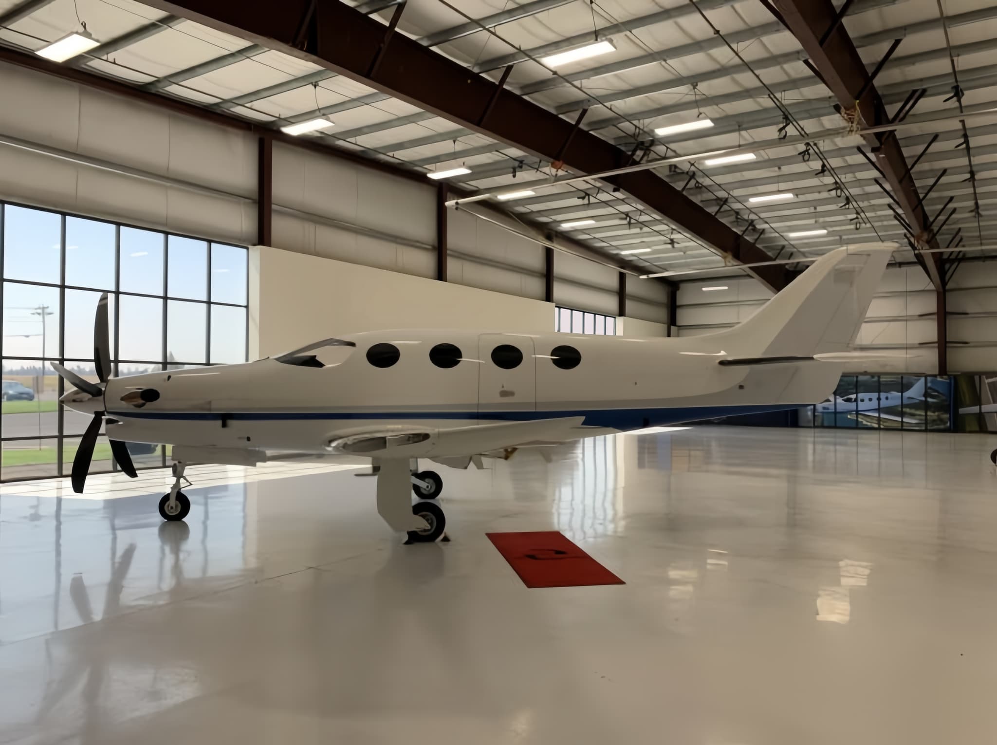 Wed, Nov 4TodayWest Palm BeachKLNA · Palm Beach County Park AirportGrand CaymanMWCR · Owen Roberts International AirportEpic E10005—On request4NovWest Palm Beach → Grand CaymanKLNA → MWCR · TodayEpic E1000 · 5 seatsOn request
- Wed, Nov 4TodayWest Palm BeachKLNA · Palm Beach County Park AirportColumbusKOSU · Ohio State University AirportEpic E1000 GX43h 12mOn request4NovWest Palm Beach → ColumbusKLNA → KOSU · TodayEpic E1000 GX · 4 seats · 3h 12mOn request
- Fri, Nov 6in 2 daysWest Palm BeachKLNA · Palm Beach County Park AirportColumbusKOSU · Ohio State University AirportEpic E10005—On request6NovWest Palm Beach → ColumbusKLNA → KOSU · in 2 daysEpic E1000 · 5 seatsOn request
- Fri, Nov 611:48West Palm BeachKLNA · Palm Beach County Park AirportColumbusKOSU · The Ohio State University Airport - Don Scott FieldHawker 9008—$7,2606NovWest Palm Beach → ColumbusKLNA → KOSU · 11:48Hawker 900 · 8 seats$7,260
- Fri, Nov 6in 2 daysWest Palm BeachKLNA · Palm Beach County Park AirportHoustonKM44 · Houston Municipal AirportHawker 9008—$11,7706NovWest Palm Beach → HoustonKLNA → KM44 · in 2 daysHawker 900 · 8 seats$11,770
 Fri, Nov 616:48West Palm BeachKLNA · Palm Beach County Park AirportColumbusKOSU · Ohio State University AirportEpic E100012h 54mOn request6NovWest Palm Beach → ColumbusKLNA → KOSU · 16:48Epic E1000 · 1 seat · 2h 54mOn request
- Sat, Nov 7in 3 daysWest Palm BeachKLNA · Palm Beach County Park AirportTitusvilleKTTS · Space Florida Launch and Landing FacilityCessna CitationJet5—$4,5107NovWest Palm Beach → TitusvilleKLNA → KTTS · in 3 daysCessna CitationJet · 5 seats$4,510
- Sat, Nov 7in 3 daysWest Palm BeachKLNA · Palm Beach County Park AirportTitusvilleKTIX · Space Coast Regional AirportCessna CitationJet5—$4,4007NovWest Palm Beach → TitusvilleKLNA → KTIX · in 3 daysCessna CitationJet · 5 seats$4,400
- Sat, Nov 7in 3 daysWest Palm BeachKLNA · Palm Beach County Park AirportTitusvilleKX21 · Arthur Dunn Air ParkCessna CitationJet5—$4,5107NovWest Palm Beach → TitusvilleKLNA → KX21 · in 3 daysCessna CitationJet · 5 seats$4,510
 KLNA · Palm Beach County Park Airport
 MWCR · Owen Roberts International Airport
* Total price incl. 10% service fee, converted to your selected currency. Price subject to operator confirmation.
Empty legs to KLNA
46 arrivals available
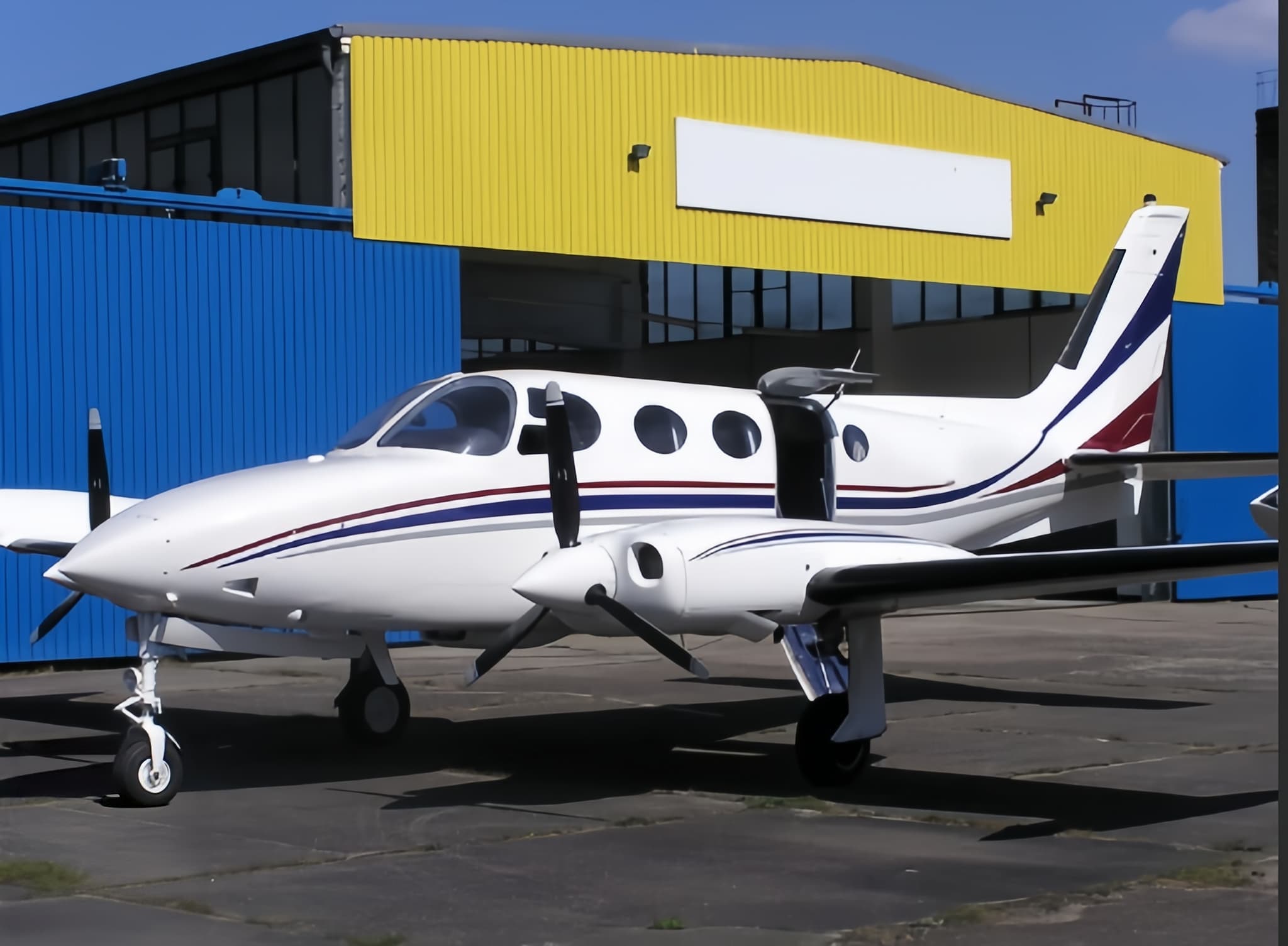 Wed, Nov 4TodayAtlantaKPDK · DeKalb Peachtree AirportWest Palm BeachKLNA · Palm Beach County Park AirportEpic E10004—On request4NovAtlanta → West Palm BeachKPDK → KLNA · TodayEpic E1000 · 4 seatsOn request
 Wed, Nov 403:18AtlantaKPDK · DeKalb Peachtree AirportWest Palm BeachKLNA · Palm Beach County Park AirportEpic E100011h 48mOn request4NovAtlanta → West Palm BeachKPDK → KLNA · 03:18Epic E1000 · 1 seat · 1h 48mOn request
- Thu, Nov 5TomorrowAlton/St LouisKALN · St Louis Regional AirportWest Palm BeachKLNA · Palm Beach County Park AirportBeechcraft Hawker 900XP8—$14,4105NovAlton/St Louis → West Palm BeachKALN → KLNA · TomorrowBeechcraft Hawker 900XP · 8 seats$14,410
- Sat, Nov 7in 3 daysTeterboroKTEB · Teterboro AirportWest Palm BeachKLNA · Palm Beach County Park AirportBeechcraft Hawker 900XP8—$14,4107NovTeterboro → West Palm BeachKTEB → KLNA · in 3 daysBeechcraft Hawker 900XP · 8 seats$14,410
- Sun, Nov 8in 4 daysBedfordKBED · Laurence G Hanscom FieldWest Palm BeachKLNA · Palm Beach County Park AirportHawker 9008—$11,7708NovBedford → West Palm BeachKBED → KLNA · in 4 daysHawker 900 · 8 seats$11,770
- Sun, Nov 8in 4 daysBedfordKBED · Laurence G Hanscom FieldWest Palm BeachKLNA · Palm Beach County Park AirportBeechcraft Hawker 900XP8—$11,2208NovBedford → West Palm BeachKBED → KLNA · in 4 daysBeechcraft Hawker 900XP · 8 seats$11,220
- Mon, Nov 9in 5 daysFort MyersKFMY · Page FieldWest Palm BeachKLNA · Palm Beach County Park AirportEpic E1000 GX442mOn request9NovFort Myers → West Palm BeachKFMY → KLNA · in 5 daysEpic E1000 GX · 4 seats · 42mOn request
- Mon, Nov 9in 5 daysMiamiKOPF · Miami-Opa Locka Executive AirportWest Palm BeachKLNA · Palm Beach County Park AirportEpic E1000 GX430mOn request9NovMiami → West Palm BeachKOPF → KLNA · in 5 daysEpic E1000 GX · 4 seats · 30mOn request
- Mon, Nov 9in 5 daysRenoKRNO · Reno Tahoe International AirportWest Palm BeachKLNA · Palm Beach County Park AirportEpic E1000 GX46h 54mOn request9NovReno → West Palm BeachKRNO → KLNA · in 5 daysEpic E1000 GX · 4 seats · 6h 54mOn request
* Total price incl. 10% service fee, converted to your selected currency. Price subject to operator confirmation.
Map: West Palm Beach Airport
View the location of West Palm Beach – LNA/KLNA. Zoom in to explore the area around the airport.
About the airport
Palm Beach County Park Airport (LNA/KLNA) is the key private jet gateway for West Palm Beach. PrivJet gives you instant access to charter flights and empty legs: fast, discreet and globally connected.
KLNA airport FAQ
Are there any restrictions at West Palm Beach airport (KLNA) today?
There are currently 4 valid NOTAMs for West Palm Beach (KLNA). Affected: Aerodrome: not available; Obstacle: out of service; Obstacle lights: unserviceable. For information only, not for flight planning or operational use. Always rely on an official pre-flight briefing. This list may be incomplete or out of date.
What is the weather at West Palm Beach airport (KLNA)?
According to the latest weather report for KLNA (METAR, 04 Nov, 05:15 UTC): Marginal visual conditions (MVFR). Wind 5 kt (9 km/h) from east-northeast (70°), visibility 10 km or more, temperature 24 °C (dew point 19 °C). Thunderstorm. For information only, not for flight planning. Weather can change quickly; always rely on official reports.
How long are the runways at West Palm Beach airport (KLNA)?
West Palm Beach (KLNA) has 3 runways: runway 10/28 with 1,063 m (3,489 ft), asphalt, runway 16/34 with 1,043 m (3,421 ft), asphalt and runway 04/22 with 992 m (3,256 ft), asphalt. The longest is 1,063 m.
What are the airport codes of Palm Beach County Park Airport?
The ICAO code is KLNA and the IATA code is LNA. ICAO codes are used by air traffic control and pilots, e.g. in flight plans; IATA codes appear on tickets and baggage tags.
What is the elevation of KLNA airport?
Palm Beach County Park Airport sits at 14 ft (4 m) above sea level. Local time zone: America/New York.
Can I fly to KLNA by private jet?
Whether a private jet can operate into Palm Beach County Park Airport depends on runway length, opening hours, customs and immigration rules as well as slot and handling availability, among other things. PrivJet checks this with the operating carrier for every request.
Are there empty legs from or to KLNA?
There are currently 63 empty legs departing from and 46 arriving at Palm Beach County Park Airport. Empty legs are repositioning flights at heavily reduced prices; the list is updated several times a day.