Mountain View Moffett Federal Airport (KNUQ / NUQ)
Empty legs and charters from Mountain View
KNUQ airport at a glance
- ICAO code
- KNUQ
- IATA code
- NUQ
- City
- Mountain View
- Region
- California
- Country
- United States
- Elevation
- 32 ft (10 m)
- Time zone
- America/Los Angeles (UTC-8)
- Coordinates
- 37.4161° N, 122.0490° W
- Empty legs from
- 17
- Empty legs to
- 13
Weather & airport info KNUQ
Current weather
No current weather report is available for this airport.
Airport
- Elevation
- 32 ft (10 m)
- Sunrise / Sunset
- 06:34 / 17:08 local time
Runways
| Runway | Length | Surface | Lighted |
|---|---|---|---|
| 14L/32R | 2,803 m (9,197 ft) | concrete | yes |
| 14R/32L | 2,475 m (8,121 ft) | asphalt | yes |
Radio frequencies
- Approach: 31.76
- Approach: 120.1
- ATIS: 124.175
- Clearance: 38.08
- CTAF: 119.55
- Ground: 121.85
- Tower: 119.55
For information only, not for flight planning. Weather can change quickly; always rely on official reports. Sources: aviationweather.gov (NOAA), OurAirports.
Airport map KNUQ
Full screen →Runways white, taxiways yellow with designators, closed taxiways and runways per NOTAM in red.
Official charts (FAA)
Cycle 2611, valid until 0901Z 11/26/26
Airport diagram (FAA)
Airport diagram (1)
Instrument approaches (9)
Departure procedures (2)
Minimums (2)
Other (2)
For information only, not for navigation. Always use current official charts and NOTAMs.
Current NOTAMs for KNUQ(4)
NOTAMs (Notices to Air Missions) announce short-term changes at an airport: closed runways or taxiways, unserviceable approach aids, obstacles, airspace restrictions.
- Out of serviceTerminal area surveillance radar: unserviceable11/001· from 03 Nov, 15:30 UTC · until 03 Nov, 22:00 UTC
The Terminal Area Radar (TAR) and Secondary Surveillance Radar (SSR) are out of service. These radar systems help air traffic control locate and guide aircraft.
Show original text
SVC TAR/SSR U/S
11/001 NOTAMN
Q) KZOA/QCTAS/I/B/A/000/999/3724N12202W005
A) KNUQ
B) 2611031530
C) 2611032200
E) TAR/SSR U/S
- ClosedApron: closedM0159/26· until 30 Nov, 00:01 UTC
The CA ANG Engine Onload/Offload Ramp is not available for transient aircraft.
Show original text
CA ANG ENGINE ONLOAD/OFFLOAD RAMP NOT AVAILABLE FOR TRANSIENT AIRCRAFT.
M0159/26 NOTAMN
Q) ZOA/QMNLC/IV/NBO/A/000/999/3724N12202W005
A) KNUQ
B) 2610220300
C) 2611300001
E) CA ANG ENGINE ONLOAD/OFFLOAD RAMP NOT AVAILABLE FOR TRANSIENT AIRCRAFT.
- NoticeAerodrome: concentration of birdsM0158/26· until 31 Dec, 07:00 UTC
Aerodrome BASH BIRD WATCH CONDITION SEVERE ANTICIPATED 0700-0900 PDT and 1800-1900 PDT.
Show original text
AERODROME BASH BIRD WATCH CONDITION SEVERE ANTICIPATED 0700-0900 PDT AND 1800-1900 PDT.
M0158/26 NOTAMN
Q) ZOA/QFAHX/IV/BO/A/000/999/3724N12202W005
A) KNUQ
B) 2610220253
C) 2612310700
E) AERODROME BASH BIRD WATCH CONDITION SEVERE ANTICIPATED 0700-0900 PDT AND 1800-1900 PDT.
- NoticeStandard instrument departure: changed5295/26· until 06 May, 15:09 UTC (estimated)
Standard departure (SID) MOFFETT FEDERAL airfield, MOUNTAIN VIEW, CA. WOODSIDE TWO DEPARTURE... take-off MINIMUMS: runway 14L, 300-1 with A MINIMUM CLIMB of 402 ft PER NM to 5000. runway 14R, 300-1 with A MINIMUM CLIMB of 402 ft PER NM to 5000.. ADD TAKEOFF obstacle NOTES: runway 14L, TEMPORARY crane 2983 ft from DER, 1232 ft LEFT of CENTERLINE, 180 ft above ground / 212 ft MSL (2022-AWP-1840-OE). TEMPORARY crane 4529 ft from DER, 174 ft LEFT of CENTERLINE, 150 ft above ground / 199 ft MSL (2025-AWP-14836-OE). runway 14R, TEMPORARY crane 4406 ft from DER, 799 ft LEFT of CENTERLINE, 150 ft above ground / 199 ft MSL (2025-AWP-14836-OE). all OTHER DATA REMAINS as PUBLISHED. 24 Sep 15:09 UTC -2705061509EST
Show original text
SID MOFFETT FEDERAL AIRFIELD, MOUNTAIN VIEW, CA. WOODSIDE TWO DEPARTURE... TAKE-OFF MINIMUMS: RWY 14L, 300-1 WITH A MINIMUM CLIMB OF 402FT PER NM TO 5000. RWY 14R, 300-1 WITH A MINIMUM CLIMB OF 402FT PER NM TO 5000.. ADD TAKEOFF OBSTACLE NOTES: RWY 14L, TEMPORARY CRANE 2983FT FROM DER, 1232FT LEFT OF CENTERLINE, 180FT AGL/212FT MSL (2022-AWP-1840-OE). TEMPORARY CRANE 4529FT FROM DER, 174FT LEFT OF CENTERLINE, 150FT AGL/199FT MSL (2025-AWP-14836-OE). RWY 14R, TEMPORARY CRANE 4406FT FROM DER, 799FT LEFT OF CENTERLINE, 150FT AGL/199FT MSL (2025-AWP-14836-OE). ALL OTHER DATA REMAINS AS PUBLISHED. 2609241509-2705061509EST
Q) KZOA/QPDCH/I/NBO/A/000/999/3724N12202W005
A) KNUQ
B) 2609241509
C) 2705061509EST
E) NUQ MOFFETT FEDERAL AIRFIELD, MOUNTAIN VIEW, CA.
WOODSIDE TWO DEPARTURE...
TKOF MNM: RWY 14L, 300-1 WITH A MINIMUM CLIMB OF 402FT PER NM TO 5000. RWY 14R, 300-1 WITH A MINIMUM CLIMB OF 402FT PER NM TO 5000..
ADD TAKEOFF OBSTACLE NOTES: RWY 14L, TEMPORARY CRANE 2983FT FROM DER, 1232FT LEFT OF CENTERLINE, 180FT AGL/212FT MSL (2022-AWP-1840-OE). TEMPORARY CRANE 4529FT FROM DER, 174FT LEFT OF CENTERLINE, 150FT AGL/199FT MSL (2025-AWP-14836-OE). RWY 14R, TEMPORARY CRANE 4406FT FROM DER, 799FT LEFT OF CENTERLINE, 150FT AGL/199FT MSL (2025-AWP-14836-OE).
ALL OTHER DATA REMAINS AS PUBLISHED.
For information only, not for flight planning or operational use. Always rely on an official pre-flight briefing. This list may be incomplete or out of date. Explanations and expanded abbreviations are generated automatically. The original text is authoritative. Source: FAA NOTAM Management Service (SWIM).
Private jet traffic in Moffett Federal Airfield (last 30 days)
- Arrivals
- 416
- Departures
- 417
- Different jets
- 321
Most frequent origins: Van Nuys Airport (37), John Wayne Airport-Orange County Airport (21), Harry Reid International Airport (20), Boeing Field King County International Airport (14), San Francisco International Airport (13).
Most frequent destinations: Van Nuys Airport (32), John Wayne Airport-Orange County Airport (23), Harry Reid International Airport (23), Boeing Field King County International Airport (20), Norman Y. Mineta San Jose International Airport (15).
Most common aircraft types: Embraer Phenom 300 (85), Bombardier Challenger 350/3500 (78), Bombardier Challenger 300 (65), Cessna Citation Longitude (60), Gulfstream G450/GIV (47).
Our own analysis of public ADS-B signals from business jets. Not every flight is received, and jets with a removal request are excluded.
Charter operators based here
Operators with a base at this airport.
- ACI JetSan Luis Obispo (San Luis County Regional) (KSBP) · Super midsize jet, Heavy jet
Empty legs from KNUQ
17 departures available
- Tue, Nov 323:00Mountain ViewKNUQ · Moffett Federal AFLDLas VegasKLAS · Harry Reid IntlBombardier Challenger 85015—On request3NovMountain View → Las VegasKNUQ → KLAS · 23:00Bombardier Challenger 850 · 15 seatsOn request
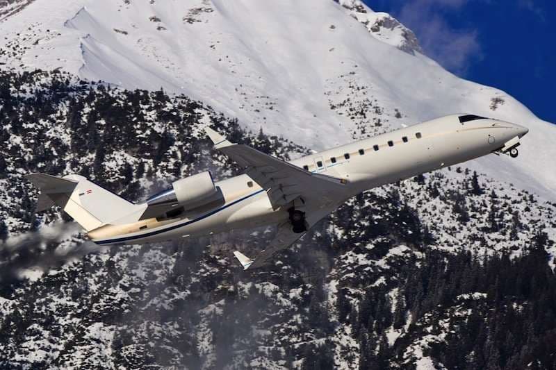 Wed, Nov 4TomorrowMountain ViewKNUQ · Moffett Federal AirfieldLas VegasKLAS · Harry Reid International AirportChallenger 85015—On request4NovMountain View → Las VegasKNUQ → KLAS · TomorrowChallenger 850 · 15 seatsOn request
- Fri, Nov 622:39Mountain ViewKNUQ · Moffett Federal AirfieldNapaKAPC · Napa County AirportCessna Citation CJ3+7—$6,8206NovMountain View → NapaKNUQ → KAPC · 22:39Cessna Citation CJ3+ · 7 seats$6,820
- Sat, Nov 706:39Mountain ViewKNUQ · Moffett Federal AirfieldNapaKAPC · Napa County AirportCitation CJ37—On request7NovMountain View → NapaKNUQ → KAPC · 06:39Citation CJ3 · 7 seatsOn request
 Wed, Nov 11in 8 daysMountain ViewKNUQ · Moffett Federal AirfieldSanta AnaKSNA · John Wayne Airport-Orange County AirportCitation X8—$10,54811NovMountain View → Santa AnaKNUQ → KSNA · in 8 daysCitation X · 8 seats$10,548
 Thu, Nov 12in 9 daysMountain ViewKNUQ · Moffett Federal AirfieldLos AngelesKONT · Ontario International AirportChallenger 3509—On request12NovMountain View → Los AngelesKNUQ → KONT · in 9 daysChallenger 350 · 9 seatsOn request
- Thu, Nov 12in 9 daysMountain ViewKNUQ · Mountain View Moffett FederalOntarioKONT · Ontario IntlChallenger 350—1h 13mOn request12NovMountain View → OntarioKNUQ → KONT · in 9 daysChallenger 350 · 1h 13mOn request
- Thu, Nov 12in 9 daysMountain ViewKNUQ · Moffett Federal AirfieldSanta AnaKSNA · John Wayne Orange County International AirportCessna Citation X8—$11,66012NovMountain View → Santa AnaKNUQ → KSNA · in 9 daysCessna Citation X · 8 seats$11,660
- Thu, Nov 12in 9 daysMountain ViewKNUQ · Moffett Federal AirfieldLas VegasKLAS · Harry Reid International AirportBombardier Inc Challenger 85015—$10,45012NovMountain View → Las VegasKNUQ → KLAS · in 9 daysBombardier Inc Challenger 850 · 15 seats$10,450
 KNUQ · Moffett Federal AFLD
* Total price incl. 10% service fee, converted to your selected currency. Price subject to operator confirmation.
Empty legs to KNUQ
13 arrivals available
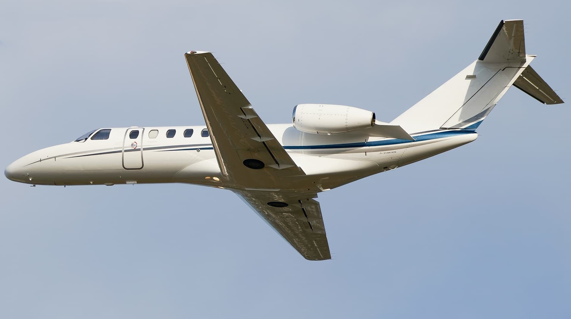 Tue, Nov 3TodayMc CallKMYL · Mc Call Municipal AirportMountain ViewKNUQ · Moffett Federal AirfieldCitation CJ37—$14,5023NovMc Call → Mountain ViewKMYL → KNUQ · TodayCitation CJ3 · 7 seats$14,502
- Tue, Nov 3TodayMcCallKMYL · McCall Municipal AirportMountain ViewKNUQ · Moffett Federal AirfieldCJ38—On request3NovMcCall → Mountain ViewKMYL → KNUQ · TodayCJ3 · 8 seatsOn request
- Tue, Nov 3TodayScottsdaleKSDL · Scottsdale AirportMountain ViewKNUQ · Moffett Federal AirfieldCitation X12—$10,6433NovScottsdale → Mountain ViewKSDL → KNUQ · TodayCitation X · 12 seats$10,643
- Thu, Nov 5in 2 daysVan NuysKVNYMountain ViewKNUQ · Mountain View Moffett FederalCessna Citation CJ3—1h 18mOn request5NovVan Nuys → Mountain ViewKVNY → KNUQ · in 2 daysCessna Citation CJ3 · 1h 18mOn request
- Sun, Nov 8in 5 daysVan NuysKVNYMountain ViewKNUQ · Mountain View Moffett FederalChallenger 350—1h 9mOn request8NovVan Nuys → Mountain ViewKVNY → KNUQ · in 5 daysChallenger 350 · 1h 9mOn request
- Sun, Nov 8in 5 daysVan NuysKVNY · Van Nuys AirportMountain ViewKNUQ · Moffett Federal AirfieldBombardier Challenger 35091hOn request8NovVan Nuys → Mountain ViewKVNY → KNUQ · in 5 daysBombardier Challenger 350 · 9 seats · 1hOn request
- Tue, Nov 10in 7 daysOaklandKOAK · Metropolitan Oakland IntlMountain ViewKNUQ · Mountain View Moffett FederalCessna Citation CJ3—36mOn request10NovOakland → Mountain ViewKOAK → KNUQ · in 7 daysCessna Citation CJ3 · 36mOn request
- Wed, Nov 11in 8 daysVan NuysKVNY · Van Nuys AirportMountain ViewKNUQ · Moffett Federal AirfieldBeechcraft King Air 20071h 24mOn request11NovVan Nuys → Mountain ViewKVNY → KNUQ · in 8 daysBeechcraft King Air 200 · 7 seats · 1h 24mOn request
- Wed, Nov 1115:00OaklandKOAK · Metropolitan Oakland International AirportMountain ViewKNUQ · Moffett Federal AirfieldCitation CJ36—On request11NovOakland → Mountain ViewKOAK → KNUQ · 15:00Citation CJ3 · 6 seatsOn request
* Total price incl. 10% service fee, converted to your selected currency. Price subject to operator confirmation.
Map: Mountain View Airport
View the location of Mountain View – NUQ/KNUQ. Zoom in to explore the area around the airport.
About the airport
Moffett Federal Airfield (NUQ/KNUQ) is the key private jet gateway for Mountain View. PrivJet gives you instant access to charter flights and empty legs: fast, discreet and globally connected.
KNUQ airport FAQ
Are there any restrictions at Mountain View airport (KNUQ) today?
There are currently 3 valid NOTAMs for Mountain View (KNUQ). Affected: Apron: closed. 1 more NOTAM starts in the coming days. For information only, not for flight planning or operational use. Always rely on an official pre-flight briefing. This list may be incomplete or out of date.
How long are the runways at Mountain View airport (KNUQ)?
Mountain View (KNUQ) has 2 runways: runway 14L/32R with 2,803 m (9,197 ft), concrete and runway 14R/32L with 2,475 m (8,121 ft), asphalt. The longest is 2,803 m.
What are the radio frequencies at Mountain View airport (KNUQ)?
Frequencies at KNUQ: Tower 119.55 MHz, Ground 121.85 MHz and ATIS 124.175 MHz. For information only. Always rely on the published AIP.
What are the airport codes of Moffett Federal Airfield?
The ICAO code is KNUQ and the IATA code is NUQ. ICAO codes are used by air traffic control and pilots, e.g. in flight plans; IATA codes appear on tickets and baggage tags.
What is the elevation of KNUQ airport?
Moffett Federal Airfield sits at 32 ft (10 m) above sea level. Local time zone: America/Los Angeles.
Can I fly to KNUQ by private jet?
Whether a private jet can operate into Moffett Federal Airfield depends on runway length, opening hours, customs and immigration rules as well as slot and handling availability, among other things. PrivJet checks this with the operating carrier for every request.
Are there empty legs from or to KNUQ?
There are currently 17 empty legs departing from and 13 arriving at Moffett Federal Airfield. Empty legs are repositioning flights at heavily reduced prices; the list is updated several times a day.