Orlando Executive Airport (KORL / ORL)
Empty legs and charters from Orlando
KORL airport at a glance
- ICAO code
- KORL
- IATA code
- ORL
- City
- Orlando
- Region
- Florida
- Country
- United States
- Elevation
- 113 ft (34 m)
- Time zone
- America/New York (UTC-5)
- Coordinates
- 28.5455° N, 81.3329° W
- Empty legs from
- 41
- Empty legs to
- 44
Weather & airport info KORL
Current weather
Good visual conditions (VFR)observed 03 Nov, 18:53 UTC- Wind
- 14 kt (26 km/h) from east (90°)
- Visibility
- 10 km or more
- Clouds
- scattered clouds at 3,000 ft, broken clouds at 3,900 ft
- Temperature
- 29 °C (dew point 22 °C)
- Pressure (QNH)
- 1,016 hPa
Original weather report (METAR)
METAR KORL 031853Z 09014KT 10SM SCT030 BKN039 29/22 A3001 RMK AO2 SLP167 T02890222
Airport
- Elevation
- 113 ft (34 m)
- Sunrise / Sunset
- 06:38 / 17:39 local time
Runways
| Runway | Length | Surface | Lighted |
|---|---|---|---|
| 07/25 | 1,830 m (6,004 ft) | asphalt | yes |
| 13/31 | 1,410 m (4,625 ft) | asphalt | yes |
Radio frequencies
- ATIS: 127.25
- Clearance: 128.45
- CTAF: 118.7
- Ground: 121.4
- Tower: 118.7
- UNICOM: 122.95
For information only, not for flight planning. Weather can change quickly; always rely on official reports. Sources: aviationweather.gov (NOAA), OurAirports.
Airport map KORL
Full screen →Runways white, taxiways yellow with designators, closed taxiways and runways per NOTAM in red.
Official charts (FAA)
Cycle 2611, valid until 0901Z 11/26/26
Airport diagram (FAA)
Airport diagram (1)
Instrument approaches (4)
Departure procedures (2)
Minimums (2)
Hot spots (1)
LAHSO (1)
Other (18)
- ALYNA FOUR (RNAV)
- JAFAR THREE (RNAV)
- JAFAR THREE (RNAV), CONT.1
- JOKRS FOUR (RNAV)
- JOKRS FOUR (RNAV), CONT.1
- LEESE THREE
- LEESE THREE, CONT.1
- MINEE SIX
- MINEE SIX, CONT.1
- MUNGI ONE (RNAV)
- MUNGI ONE (RNAV), CONT.1
- PRICY FIVE (RNAV)
- PRICY FIVE (RNAV), CONT.1
- PRICY FIVE (RNAV), CONT.2
- SHREK TWO (RNAV)
- SLOAO ONE (RNAV)
- TTHOR THREE (RNAV)
- TTHOR THREE (RNAV), CONT.1
For information only, not for navigation. Always use current official charts and NOTAMs.
Current NOTAMs for KORL(13)
NOTAMs (Notices to Air Missions) announce short-term changes at an airport: closed runways or taxiways, unserviceable approach aids, obstacles, airspace restrictions.
- Out of serviceRunway end identifier lights: unserviceable10/061· until 13 Nov, 17:00 UTC
The runway end identification lights for runway 13 are out of service. These lights help pilots identify the end of the runway.
Show original text
RWY 13 RWY END ID LGT U/S
A1464/26 NOTAMN
Q) KZJX/QLIAS////000/999/2832N08119W005
A) KORL
B) 2610271043
C) 2611131700
E) RWY 13 RWY END ID LGT U/S
- Out of serviceRunway end identifier lights: unserviceableA1464/26· until 13 Nov, 17:00 UTC
The runway end identification lights for runway 13 are out of service. These lights help pilots identify the end of the runway.
Show original text
RWY 13 RWY END ID LGT U/S
A1464/26 NOTAMN Q) KZJX/QLIAS////000/999/2832N08119W005 A) KORL B) 2610271043 C) 2611131700 E) RWY 13 RWY END ID LGT U/S
- Out of serviceObstacle10/031· until 09 Jan, 23:59 UTC
A tower light (ASR 1028187) 7.5 nautical miles west-southwest of the airport is out of service. The top of the obstacle is 315.9 ft above sea level, 210.0 ft above ground.
Show original text
OBST TOWER LGT (ASR 1028187) 282900.40N0812713.20W (7.5NM WSW ORL) 315.9FT (210.0FT AGL) U/S
- Out of serviceObstacle10/014· until 01 Jan, 12:51 UTC
An obstacle, a tower light (ASR 1030351) 5.4 nautical miles east-southeast of ORL, with its top at 502.0 feet above sea level and 419.9 feet above ground, is out of service.
Show original text
OBST TOWER LGT (ASR 1030351) 283045.70N0811412.00W (5.4NM ESE ORL) 502.0FT (419.9FT AGL) U/S
- Out of serviceObstacle10/011· until 29 Jan, 21:00 UTC
The lighting of an obstacle tower (ASR 1213700) 6.8 nautical miles east-southeast of the airport is out of service. The tower's top is 323.5 ft above sea level, 244.8 ft above ground.
Show original text
OBST TOWER LGT (ASR 1213700) 283113.80N0811224.80W (6.8NM ESE ORL) 323.5FT (244.8FT AGL) U/S
- Out of serviceObstacle10/009· until 31 Dec, 23:59 UTC
The lighting on a tower 7.1 nautical miles west-northwest of the airport is out of service. Its top is 504.9 ft above sea level, 386.8 ft above ground.
Show original text
OBST TOWER LGT (ASR 1045537) 283431.00N0812746.00W (7.1NM WNW ORL) 504.9FT (386.8FT AGL) U/S
- Out of serviceObstacle10/010· until 31 Dec, 23:59 UTC
A tower 7.0 nautical miles west-northwest of the airport has a light that is out of service. Its top is 504.9 ft above sea level, 386.8 ft above ground.
Show original text
OBST TOWER LGT (ASR 1045538) 283427.00N0812744.00W (7.0NM WNW ORL) 504.9FT (386.8FT AGL) U/S
- Out of serviceObstacle10/008· until 31 Dec, 23:59 UTC
The lighting on a tower 6.1 nautical miles west of the airport is out of service. Its top is 358.9 ft above sea level, 263.8 ft above ground.
Show original text
OBST TOWER LGT (ASR 1020591) 283210.00N0812649.00W (6.1NM W ORL) 358.9FT (263.8FT AGL) U/S
5 more NOTAMs
- Out of serviceObstacle10/004· until 30 Nov, 23:59 UTC
The lighting on a tower obstacle 3.5 nautical miles northwest of the airport is out of service. Its top is 302.5 ft above sea level, 204.1 ft above ground.
Show original text
OBST TOWER LGT (ASR 1030641) 283519.00N0812250.00W (3.5NM NW ORL) 302.5FT (204.1FT AGL) U/S
- Out of serviceObstacle10/003· until 30 Nov, 23:59 UTC
The lighting on a tower obstacle 3.6 nautical miles northwest of the airport is out of service. Its top is 302.5 ft above sea level, 204.1 ft above ground.
Show original text
OBST TOWER LGT (ASR 1030639) 283519.00N0812254.00W (3.6NM NW ORL) 302.5FT (204.1FT AGL) U/S
- NoticeAirspace10/073· until 14 Mar, 02:00 UTC
Unmanned Aircraft Systems (UAS) are active in the airspace within a defined area near the airport, from the surface up to 400 feet above ground. This is information for pilots about potential drone activity.
Show original text
AIRSPACE UAS WI AN AREA DEFINED AS 283354.90N0813733.50W (8.8NM SSW X04) TO 283120N0813720.80W (11.2NM SSW X04) TO 282853N0813524W (13.5NM S X04) TO 282756.70N0813139.10W (11.3NM WSW ORL) TO 282921N0812738.50W (7.5NM WSW ORL) TO 283549.60N0812339.60W (4.5NM NW ORL) TO 283910.80N0812215.10W (6.7NM NNW ORL) TO 284254.10N0812412.50W (9.4NM E X04) TO 284307.50N0812631W (7.4NM E X04) TO 284238.10N0812704.90W (6.9NM E X04) TO 284315.10N0812740W (6.4NM E X04) TO 284247.90N0812817.70W (5.8NM E X04) TO 284322.40N0812840.40W (5.5NM E X04) TO 284136.80N0813318W (1.6NM SE X04) TO 283726N0813333W (5.1NM S X04) TO POINT OF ORIGIN SFC-400FT AGL
- NoticeAirspace10/071· until 26 Feb, 23:00 UTC
Unmanned aircraft systems (UAS) are active in the airspace within a 0.5 nautical mile radius, 7.6 nautical miles west of Orlando International Airport, from the surface to 400 feet above ground, daily from 12:00 to 23:00.
Show original text
AIRSPACE UAS WI AN AREA DEFINED AS .5NM RADIUS OF 282638N0812733W (7.6NM W MCO) SFC-400FT AGL DLY 1200-2300
- NoticeAirspace10/034· until 12 Jan, 23:59 UTC
Airspace for unmanned aircraft systems (UAS) is restricted within an area defined as a 3 nautical mile radius of 285418N0812000W (8.7 nautical miles northwest of SFB) from the surface to 400 feet above ground.
Show original text
AIRSPACE UAS WI AN AREA DEFINED AS 3NM RADIUS OF 285418N0812000W (8.7NM NW SFB) SFC-400FT AGL
For information only, not for flight planning or operational use. Always rely on an official pre-flight briefing. This list may be incomplete or out of date. Explanations and expanded abbreviations are generated automatically. The original text is authoritative. Source: FAA NOTAM Management Service (SWIM).
Private jet traffic in Orlando Executive Airport (last 30 days)
- Arrivals
- 1,131
- Departures
- 1,108
- Different jets
- 768
Most frequent origins: Miami-Opa Locka Executive Airport (35), Palm Beach International Airport (33), Fort Lauderdale Hollywood International Airport (33), Fort Lauderdale Executive Airport (26), Naples Municipal Airport (23).
Most frequent destinations: Miami-Opa Locka Executive Airport (36), Tampa International Airport (35), Palm Beach International Airport (31), Fort Lauderdale Hollywood International Airport (28), Teterboro Airport (24).
Most common aircraft types: Pilatus PC-12 (223), Cessna Citation Excel/XLS (138), Embraer Phenom 300 (137), Hawker 800/900 (103), Cessna Citation CJ3 (95).
Our own analysis of public ADS-B signals from business jets. Not every flight is received, and jets with a removal request are excluded.
Charter operators based here
Operators with a base at this airport.
- Solairus AviationVan Nuys (KVNY) · Turboprop, Light jet, Midsize jet
- Northern JetGrand Rapids (Gerald Ford International) (KGRR) · Turboprop, Light jet, Midsize jet
- Fly AllianceLight jet, Midsize jet, Super midsize jet
- Elite AirSt Petersburg (St Pete-Clearwater International) (KPIE) · Turboprop, Light jet, Midsize jet
- Jet Access AviationIndianapolis Executive (KTYQ) · Light jet, Midsize jet, Super midsize jet
- Evolution AirwaysLight jet
- The HeliTeamHelicopter
- Sovereign AirMidsize jet
Empty legs from KORL
41 departures available
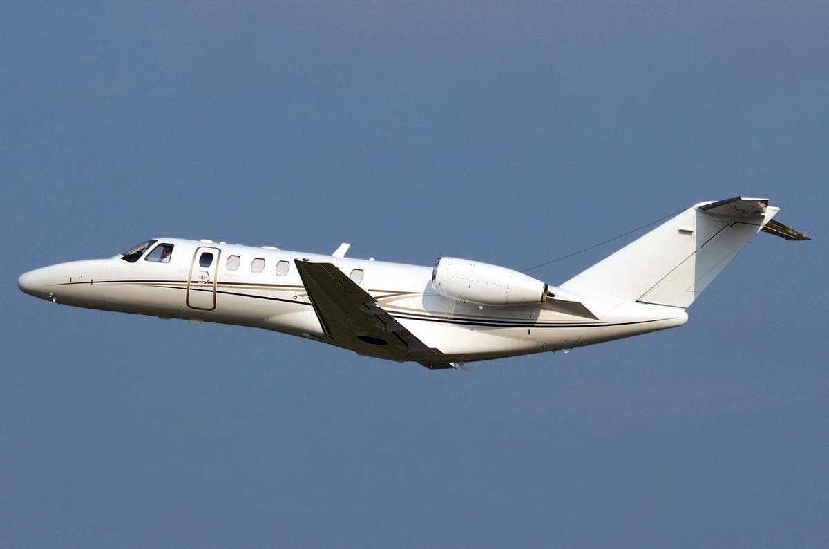 Tue, Nov 3TodayOrlandoKORL · Orlando Executive AirportMemphisKMEM · Memphis International AirportCitation CJ37—$15,8213NovOrlando → MemphisKORL → KMEM · TodayCitation CJ3 · 7 seats$15,821
- Wed, Nov 4TomorrowOrlandoKORL · Orlando Executive AirportMiamiKOPF · Miami-Opa Locka ExecutiveChallenger 300—56m$4,8404NovOrlando → MiamiKORL → KOPF · TomorrowChallenger 300 · 56m$4,840
- Wed, Nov 4TomorrowOrlandoKORL · Orlando Executive AirportMiamiKOPF · Miami-Opa Locka Executive AirportBombardier Challenger 3009—$5,2034NovOrlando → MiamiKORL → KOPF · TomorrowBombardier Challenger 300 · 9 seats$5,203
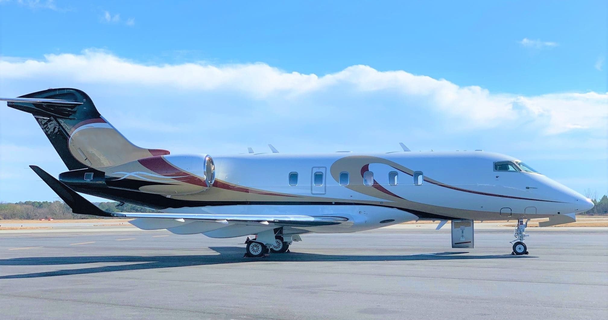 Thu, Nov 5in 2 daysOrlandoKORL · Orlando Executive AirportAtlantaKPDK · DeKalb Peachtree AirportChallenger 35009—$21,9535NovOrlando → AtlantaKORL → KPDK · in 2 daysChallenger 3500 · 9 seats$21,953
- Thu, Nov 5in 2 daysOrlandoKORL · Orlando Executive AirportAtlantaKPDK · Dekalb-PeachtreeChallenger 350—1h 22mOn request5NovOrlando → AtlantaKORL → KPDK · in 2 daysChallenger 350 · 1h 22mOn request
- Thu, Nov 502:00OrlandoKORL · Orlando ExecutiveMiamiKOPF · Opa-Locka ExecutiveBombardier Challenger 3009—$6,6555NovOrlando → MiamiKORL → KOPF · 02:00Bombardier Challenger 300 · 9 seats$6,655
- Thu, Nov 5in 2 daysOrlandoKORL · Orlando Executive AirportAtlantaKPDK · DeKalb Peachtree AirportBombardier Challenger 35091h 12mOn request5NovOrlando → AtlantaKORL → KPDK · in 2 daysBombardier Challenger 350 · 9 seats · 1h 12mOn request
 Thu, Nov 5in 2 daysOrlandoKORL · Orlando Executive AirportMiamiKOPF · Miami-Opa Locka Executive AirportChallenger 3009—$6,6885NovOrlando → MiamiKORL → KOPF · in 2 daysChallenger 300 · 9 seats$6,688
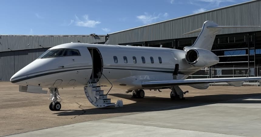 Fri, Nov 6in 3 daysOrlandoKORL · Orlando Executive AirportWest Palm BeachKDJT · President Donald J. Trump International AirportChallenger 3009—$4,0706NovOrlando → West Palm BeachKORL → KDJT · in 3 daysChallenger 300 · 9 seats$4,070
 KORL · Orlando Executive Airport
* Total price incl. 10% service fee, converted to your selected currency. Price subject to operator confirmation.
Empty legs to KORL
44 arrivals available
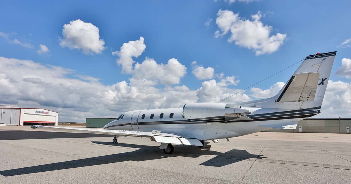 Tue, Nov 3TodayMiamiKOPF · Miami-Opa Locka Executive AirportOrlandoKORL · Orlando Executive AirportCitation Excel7—On request3NovMiami → OrlandoKOPF → KORL · TodayCitation Excel · 7 seatsOn request
- Tue, Nov 3TodayWest Palm BeachKDJT · President Donald J. Trump International AirportOrlandoKORL · Orlando Executive AirportDassault Falcon 200010—On request3NovWest Palm Beach → OrlandoKDJT → KORL · TodayDassault Falcon 2000 · 10 seatsOn request
 Tue, Nov 323:15West Palm BeachKDJT · President Donald J. Trump International AirportOrlandoKORL · Orlando Executive AirportDassault Falcon 2000EX EASy136mOn request3NovWest Palm Beach → OrlandoKDJT → KORL · 23:15Dassault Falcon 2000EX EASy · 1 seat · 36mOn request
- Wed, Nov 404:15West Palm BeachKDJT · President Donald J. Trump International AirportOrlandoKORL · Orlando ExecutiveDassault Falcon 2000EX EASy10—On request4NovWest Palm Beach → OrlandoKDJT → KORL · 04:15Dassault Falcon 2000EX EASy · 10 seatsOn request
- Thu, Nov 5in 2 daysMiamiKOPF · Miami-Opa Locka Executive AirportOrlandoKORL · Orlando Executive AirportChallenger 35009—$18,3155NovMiami → OrlandoKOPF → KORL · in 2 daysChallenger 3500 · 9 seats$18,315
- Thu, Nov 5in 2 daysWest Palm BeachKDJT · President Donald J. Trump International AirportOrlandoKORL · Orlando Executive AirportBombardier Challenger 300845m€3,9335NovWest Palm Beach → OrlandoKDJT → KORL · in 2 daysBombardier Challenger 300 · 8 seats · 45m€3,933
- Fri, Nov 616:54AuburnKAUO · Auburn Opelika Robert G. Pitts AirportOrlandoKORL · Orlando Executive AirportBeechcraft Hawker 800XP154mOn request6NovAuburn → OrlandoKAUO → KORL · 16:54Beechcraft Hawker 800XP · 1 seat · 54mOn request
 Fri, Nov 6in 3 daysWest Palm BeachKDJT · President Donald J. Trump International AirportOrlandoKORL · Orlando Executive AirportLear 607—$6,4526NovWest Palm Beach → OrlandoKDJT → KORL · in 3 daysLear 60 · 7 seats$6,452
 Sat, Nov 7in 4 daysMiamiKOPF · Miami-Opa Locka Executive AirportOrlandoKORL · Orlando Executive AirportCitation X8—$8,8007NovMiami → OrlandoKOPF → KORL · in 4 daysCitation X · 8 seats$8,800
* Total price incl. 10% service fee, converted to your selected currency. Price subject to operator confirmation.
Map: Orlando Airport
View the location of Orlando – ORL/KORL. Zoom in to explore the area around the airport.
About the airport
Orlando Executive Airport (ORL/KORL) is the key private jet gateway for Orlando. PrivJet gives you instant access to charter flights and empty legs: fast, discreet and globally connected.
KORL airport FAQ
Are there any restrictions at Orlando airport (KORL) today?
There are currently 13 valid NOTAMs for Orlando (KORL). Affected: Runway end identifier lights: unserviceable; Obstacle: out of service. For information only, not for flight planning or operational use. Always rely on an official pre-flight briefing. This list may be incomplete or out of date.
What is the weather at Orlando airport (KORL)?
According to the latest weather report for KORL (METAR, 03 Nov, 18:53 UTC): Good visual conditions (VFR). Wind 14 kt (26 km/h) from east (90°), visibility 10 km or more, temperature 29 °C (dew point 22 °C). For information only, not for flight planning. Weather can change quickly; always rely on official reports.
How long are the runways at Orlando airport (KORL)?
Orlando (KORL) has 2 runways: runway 07/25 with 1,830 m (6,004 ft), asphalt and runway 13/31 with 1,410 m (4,625 ft), asphalt. The longest is 1,830 m.
What are the radio frequencies at Orlando airport (KORL)?
Frequencies at KORL: Tower 118.7 MHz, Ground 121.4 MHz and ATIS 127.25 MHz. For information only. Always rely on the published AIP.
What are the airport codes of Orlando Executive Airport?
The ICAO code is KORL and the IATA code is ORL. ICAO codes are used by air traffic control and pilots, e.g. in flight plans; IATA codes appear on tickets and baggage tags.
What is the elevation of KORL airport?
Orlando Executive Airport sits at 113 ft (34 m) above sea level. Local time zone: America/New York.
Can I fly to KORL by private jet?
Whether a private jet can operate into Orlando Executive Airport depends on runway length, opening hours, customs and immigration rules as well as slot and handling availability, among other things. PrivJet checks this with the operating carrier for every request.
Are there empty legs from or to KORL?
There are currently 41 empty legs departing from and 44 arriving at Orlando Executive Airport. Empty legs are repositioning flights at heavily reduced prices; the list is updated several times a day.