Rifle Garfield County Airport (KRIL / RIL)
Empty legs and charters from Rifle
KRIL airport at a glance
- ICAO code
- KRIL
- IATA code
- RIL
- City
- Rifle
- Region
- Colorado
- Country
- United States
- Elevation
- 5,548 ft (1,691 m)
- Time zone
- America/Denver (UTC-7)
- Coordinates
- 39.5263° N, 107.7270° W
- Empty legs from
- 8
- Empty legs to
- 9
Weather & airport info KRIL
Current weather
Good visual conditions (VFR)observed 03 Nov, 20:53 UTC- Wind
- 4 kt (7 km/h) from west-southwest (250°)
- Visibility
- 10 km or more
- Clouds
- no significant clouds
- Temperature
- 11 °C (dew point 1 °C)
- Pressure (QNH)
- 1,022 hPa
Original weather report (METAR)
METAR KRIL 032053Z AUTO 25004KT 10SM CLR 11/01 A3017 RMK AO2 SLP195 T01110006 56027
Airport
- Elevation
- 5,548 ft (1,691 m)
- Sunrise / Sunset
- 06:41 / 17:07 local time
Runways
| Runway | Length | Surface | Lighted |
|---|---|---|---|
| 08/26 | 2,134 m (7,000 ft) | asphalt | yes |
Radio frequencies
- UNICOM: 122.8
For information only, not for flight planning. Weather can change quickly; always rely on official reports. Sources: aviationweather.gov (NOAA), OurAirports.
Airport map KRIL
Full screen →Runways white, taxiways yellow with designators, closed taxiways and runways per NOTAM in red.
Official charts (FAA)
Cycle 2611, valid until 0901Z 11/26/26
Instrument approaches (9)
Departure procedures (2)
Obstacle departure procedures (1)
Minimums (2)
For information only, not for navigation. Always use current official charts and NOTAMs.
Current NOTAMs for KRIL(1)
NOTAMs (Notices to Air Missions) announce short-term changes at an airport: closed runways or taxiways, unserviceable approach aids, obstacles, airspace restrictions.
- Out of serviceObstacle11/001· until 15 Nov, 23:59 UTC
A tower obstacle light 2.5 nautical miles northwest of the airport is out of service. Its top is 5796.3 feet above sea level, 202.1 feet above ground.
Show original text
OBST TOWER LGT (ASR 1236330) 393304.50N1074613.80W (2.5NM NW RIL) 5796.3FT (202.1FT AGL) U/S
For information only, not for flight planning or operational use. Always rely on an official pre-flight briefing. This list may be incomplete or out of date. Explanations and expanded abbreviations are generated automatically. The original text is authoritative. Source: FAA NOTAM Management Service (SWIM).
Charter operators based here
Operators with a base at this airport.
- RVR AviationFort Worth (Meacham International) (KFTW) · Light jet, Super midsize jet
Empty legs from KRIL
8 departures available
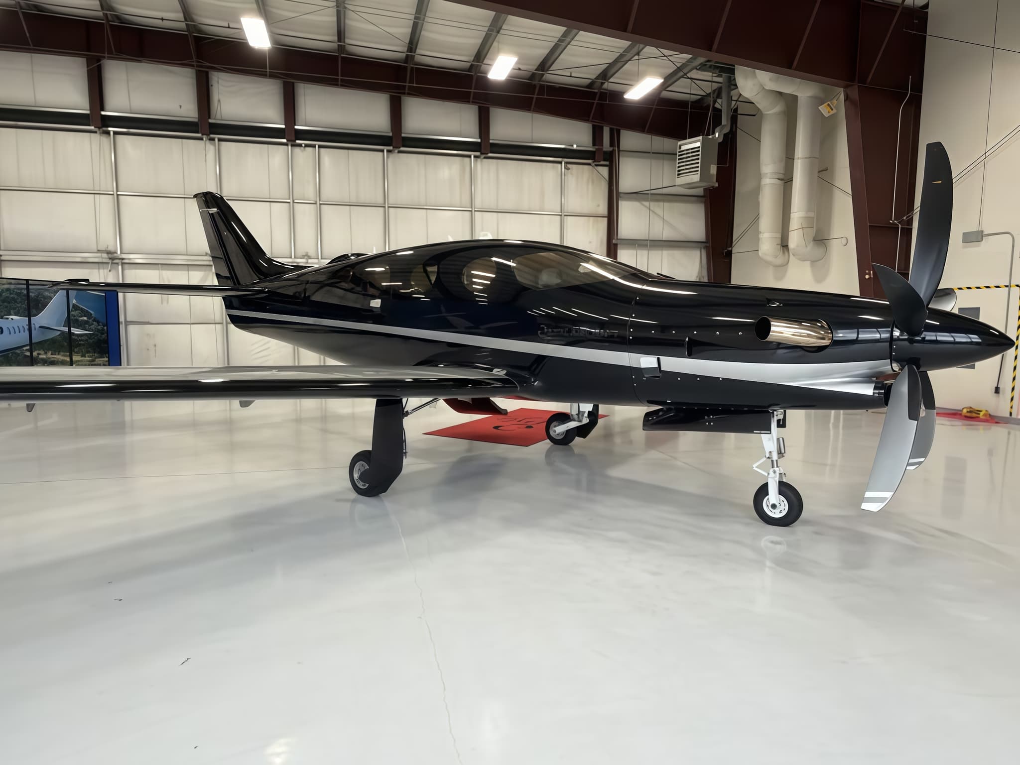 Tue, Nov 3TodayRifleKRIL · Garfield County Regional AirportDenverKAPA · Centennial AirportEpic E10005—$2,1453NovRifle → DenverKRIL → KAPA · TodayEpic E1000 · 5 seats$2,145
- Fri, Nov 13in 10 daysRifleKRIL · Garfield County Regional AirportPittsburghKAGC · Allegheny County AirportEpic E1000 AX53h 48mOn request13NovRifle → PittsburghKRIL → KAGC · in 10 daysEpic E1000 AX · 5 seats · 3h 48mOn request
- Mon, Nov 16in 13 daysRifleKRIL · Garfield County Regional AirportPittsburghKAGC · Allegheny County AirportEpic E10005—$10,83516NovRifle → PittsburghKRIL → KAGC · in 13 daysEpic E1000 · 5 seats$10,835
 Wed, Nov 18in 15 daysRifleKRIL · Garfield County Regional AirportLos AngelesKVNY · Van Nuys AirportGulfstream GV16—On request18NovRifle → Los AngelesKRIL → KVNY · in 15 daysGulfstream GV · 16 seatsOn request
- Fri, Nov 27in 24 daysRifleKRIL · Garfield County Regional AirportTeterboroKTEB · Teterboro AirportEpic E1000 AX54h 24mOn request27NovRifle → TeterboroKRIL → KTEB · in 24 daysEpic E1000 AX · 5 seats · 4h 24mOn request
 Fri, Dec 1812:45RifleKRIL · Garfield County Regional AirportLas VegasKLAS · Harry Reid International AirportCessna Citation Sovereign+11h 6mOn request18DecRifle → Las VegasKRIL → KLAS · 12:45Cessna Citation Sovereign+ · 1 seat · 1h 6mOn request
 Sat, Dec 1923:45RifleKRIL · Garfield County Regional AirportLas VegasKLAS · Harry Reid International AirportCessna Citation Sovereign8—$9,63419DecRifle → Las VegasKRIL → KLAS · 23:45Cessna Citation Sovereign · 8 seats$9,634
- Mon, Dec 28in 55 daysRifleKRIL · Garfield County Regional AirportPort AngelesKCLM · William R Fairchild International AirportEmbraer Phenom 10043h 18mOn request28DecRifle → Port AngelesKRIL → KCLM · in 55 daysEmbraer Phenom 100 · 4 seats · 3h 18mOn request
 KRIL · Garfield County Regional Airport
* Total price incl. 10% service fee, converted to your selected currency. Price subject to operator confirmation.
Empty legs to KRIL
9 arrivals available
- Tue, Nov 3TodayDenverKAPA · Centennial AirportRifleKRIL · Garfield County Regional AirportEpic E1000 AX548mOn request3NovDenver → RifleKAPA → KRIL · TodayEpic E1000 AX · 5 seats · 48mOn request
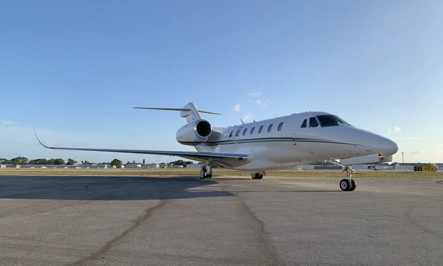 Wed, Nov 11in 8 daysSan FranciscoKSFO · San Francisco International AirportRifleKRIL · Garfield County Regional AirportCitation X8—$8,80011NovSan Francisco → RifleKSFO → KRIL · in 8 daysCitation X · 8 seats$8,800
- Wed, Nov 18in 15 daysFort Collins/LovelandKFNL · Northern Colorado Regional AirportRifleKRIL · Garfield County Regional AirportEpic E1000 AX548mOn request18NovFort Collins/Loveland → RifleKFNL → KRIL · in 15 daysEpic E1000 AX · 5 seats · 48mOn request
 Mon, Nov 23in 20 daysDenverKAPA · Centennial AirportRifleKRIL · Garfield County Regional AirportCitation Encore8—On request23NovDenver → RifleKAPA → KRIL · in 20 daysCitation Encore · 8 seatsOn request
- Sun, Nov 2921:00DallasKDAL · Dallas Love FieldRifleKRIL · Garfield County Regional AirportBombardier Learjet 60XR8—On request29NovDallas → RifleKDAL → KRIL · 21:00Bombardier Learjet 60XR · 8 seatsOn request
 Mon, Nov 30in 27 daysDallasKDAL · Dallas Love FieldRifleKRIL · Garfield County Regional AirportLear 60XR7—On request30NovDallas → RifleKDAL → KRIL · in 27 daysLear 60XR · 7 seatsOn request
- Thu, Dec 24in 51 daysLas VegasKHND · Henderson Executive AirportRifleKRIL · Garfield County Regional AirportCessna Citation Sovereign——On request24DecLas Vegas → RifleKHND → KRIL · in 51 daysCessna Citation SovereignOn request
- Thu, Dec 2406:08Las VegasKLAS · Harry Reid International AirportRifleKRIL · Garfield County Regional AirportCessna Citation Sovereign+11hOn request24DecLas Vegas → RifleKLAS → KRIL · 06:08Cessna Citation Sovereign+ · 1 seat · 1hOn request
- Mon, Feb 8in 97 daysTeterboroKTEB · Teterboro AirportRifleKRIL · Garfield County Regional AirportEpic E1000 AX56h 6mOn request8FebTeterboro → RifleKTEB → KRIL · in 97 daysEpic E1000 AX · 5 seats · 6h 6mOn request
* Total price incl. 10% service fee, converted to your selected currency. Price subject to operator confirmation.
Map: Rifle Airport
View the location of Rifle – RIL/KRIL. Zoom in to explore the area around the airport.
About the airport
Garfield County Regional Airport (RIL/KRIL) is the key private jet gateway for Rifle. PrivJet gives you instant access to charter flights and empty legs: fast, discreet and globally connected.
KRIL airport FAQ
Are there any restrictions at Rifle airport (KRIL) today?
There is currently 1 valid NOTAM for Rifle (KRIL). Affected: Obstacle: out of service. For information only, not for flight planning or operational use. Always rely on an official pre-flight briefing. This list may be incomplete or out of date.
What is the weather at Rifle airport (KRIL)?
According to the latest weather report for KRIL (METAR, 03 Nov, 20:53 UTC): Good visual conditions (VFR). Wind 4 kt (7 km/h) from west-southwest (250°), visibility 10 km or more, temperature 11 °C (dew point 1 °C). For information only, not for flight planning. Weather can change quickly; always rely on official reports.
How long are the runways at Rifle airport (KRIL)?
Rifle (KRIL) has one runway: runway 08/26 with 2,134 m (7,000 ft), asphalt.
What are the airport codes of Garfield County Regional Airport?
The ICAO code is KRIL and the IATA code is RIL. ICAO codes are used by air traffic control and pilots, e.g. in flight plans; IATA codes appear on tickets and baggage tags.
What is the elevation of KRIL airport?
Garfield County Regional Airport sits at 5,548 ft (1,691 m) above sea level. Local time zone: America/Denver.
Can I fly to KRIL by private jet?
Whether a private jet can operate into Garfield County Regional Airport depends on runway length, opening hours, customs and immigration rules as well as slot and handling availability, among other things. PrivJet checks this with the operating carrier for every request.
Are there empty legs from or to KRIL?
There are currently 8 empty legs departing from and 9 arriving at Garfield County Regional Airport. Empty legs are repositioning flights at heavily reduced prices; the list is updated several times a day.