Santa Barbara Airport (KSBA / SBA)
Empty legs and charters from Santa Barbara
KSBA airport at a glance
- ICAO code
- KSBA
- IATA code
- SBA
- City
- Santa Barbara
- Region
- California
- Country
- United States
- Elevation
- 13 ft (4 m)
- Time zone
- America/Los Angeles (UTC-8)
- Coordinates
- 34.4262° N, 119.8400° W
- Empty legs from
- 51
- Empty legs to
- 52
Weather & airport info KSBA
Current weather
Good visual conditions (VFR)observed 03 Nov, 08:53 UTC- Wind
- Calm
- Visibility
- 10 km or more
- Clouds
- no significant clouds
- Temperature
- 12 °C (dew point 10 °C)
- Pressure (QNH)
- 1,018 hPa
Original weather report (METAR)
METAR KSBA 030853Z AUTO 00000KT 10SM CLR 12/10 A3007 RMK AO2 SLP181 T01220100 56014 $
Forecast (TAF)
- 03 Nov, 06:00–18:00 UTC3 kt (6 km/h) from variable directions · visibility 10 km or more · scattered clouds at 25,000 ft
- 03 Nov, 18:00–20:00 UTCfrom5 kt (9 km/h) from west-southwest (250°) · visibility 10 km or more · broken clouds at 5,000 ft
- 03 Nov, 20:00–04:00 UTCfrom10 kt (19 km/h) from west-southwest (250°) · visibility 10 km or more · broken clouds at 25,000 ft
- 04 Nov, 04:00–06:00 UTCfrom3 kt (6 km/h) from variable directions · visibility 10 km or more · scattered clouds at 25,000 ft
Original forecast (TAF)
TAF KSBA 030526Z 0306/0406 VRB03KT P6SM SCT250 FM031800 25005KT P6SM BKN050 FM032000 25010KT P6SM BKN250 FM040400 VRB03KT P6SM SCT250
Airport
- Elevation
- 13 ft (4 m)
- Sunrise / Sunset
- 06:21 / 17:04 local time
Runways
| Runway | Length | Surface | Lighted |
|---|---|---|---|
| 07/25 | 1,840 m (6,037 ft) | asphalt | yes |
| 15L/33R | 1,277 m (4,190 ft) | asphalt | no |
| 15R/33L | 1,277 m (4,190 ft) | asphalt | yes |
Radio frequencies
- ATIS: 132.65
- Clearance: 132.9
- CTAF: 119.7
- Ground: 121.7
- Tower: 119.7
- UNICOM: 122.95
For information only, not for flight planning. Weather can change quickly; always rely on official reports. Sources: aviationweather.gov (NOAA), OurAirports.
Airport map KSBA
Full screen →Runways white, taxiways yellow with designators, closed taxiways and runways per NOTAM in red.
Closed per NOTAM: TWY A2, TWY A1, TWY A*, TWY E2 (* partly closed)
Official charts (FAA)
Cycle 2611, valid until 0901Z 11/26/26
Airport diagram (FAA)
Airport diagram (1)
Instrument approaches (3)
Departure procedures (7)
Hot spots (1)
Other (1)
For information only, not for navigation. Always use current official charts and NOTAMs.
Current NOTAMs for KSBA(25)
NOTAMs (Notices to Air Missions) announce short-term changes at an airport: closed runways or taxiways, unserviceable approach aids, obstacles, airspace restrictions.
- Out of serviceStandard instrument departure: not available4849/26· from 03 Nov, 16:00 UTC · until 03 Nov, 23:00 UTC (estimated)
The standard departure route (SID) KWANG SIX DEPARTURE at Santa Barbara Muni airport is not available, except for aircraft equipped with a suitable RNAV system with GPS, because the GVO VORTAC is out of service.
Show original text
SID SANTA BARBARA MUNI, SANTA BARBARA, CA. KWANG SIX DEPARTURE... DEPARTURE PROCEDURE NA EXCEPT FOR ACFT EQUIPPED WITH SUITABLE RNAV SYSTEM WITH GPS, GVO VORTAC OUT OF SERVICE. 2611031600-2611032300EST
Q) KZLA/QPDAU/I/NBO/A/000/999/3425N11950W005
A) KSBA
B) 2610282108
C) 2706092108EST
E) SBA SANTA BARBARA MUNI, SANTA BARBARA, CA.
KWANG SIX DEPARTURE...
DEPARTURE PROCEDURE NA EXCEPT FOR ACFT EQUIPPED WITH SUITABLE RNAV SYSTEM WITH GPS,
GVO VORTAC U/S.
- Out of serviceStandard instrument departure: not available4850/26· from 03 Nov, 16:00 UTC · until 03 Nov, 23:00 UTC
The standard departure route (SID) HABUT FOUR DEPARTURE at Santa Barbara Muni airport is not available, except for aircraft equipped with a suitable RNAV system with GPS, because the GVO VORTAC is out of service.
Show original text
SID SANTA BARBARA MUNI, SANTA BARBARA, CA. HABUT FOUR DEPARTURE... DEPARTURE PROCEDURE NA EXCEPT FOR ACFT EQUIPPED WITH SUITABLE RNAV SYSTEM WITH GPS, GVO VORTAC OUT OF SERVICE. 2611031600-2611032300EST
Q) KZLA/QPDAU/I/NBO/A/000/999/3425N11950W005
A) KSBA
B) 2403271803
C) 2411061803EST
E) SBA SANTA BARBARA MUNI, SANTA BARBARA, CA.
HABUT FOUR DEPARTURE...
DEPARTURE PROCEDURE NA EXCEPT FOR ACFT EQUIPPED WITH SUITABLE RNAV SYSTEM WITH GPS,
GVO VORTAC U/S.
- Out of serviceStandard instrument departure: changed4851/26· from 03 Nov, 16:00 UTC · until 03 Nov, 23:00 UTC
The GAVIOTA TRANSITION and SAN MARCUS TRANSITION of the standard departure route (SID) FLOUT FIVE DEPARTURE at Santa Barbara Muni airport are not available, except for aircraft equipped with a suitable RNAV system with GPS, because the GVO VORTAC is out of service.
Show original text
SID SANTA BARBARA MUNI, SANTA BARBARA, CA. FLOUT FIVE DEPARTURE... GAVIOTA TRANSITION, SAN MARCUS TRANSITION NA EXCEPT FOR ACFT EQUIPPED WITH SUITABLE RNAV SYSTEM WITH GPS, GVO VORTAC OUT OF SERVICE. 2611031600-2611032300EST
Q) KZLA/QPDCH/I/NBO/A/000/999/3425N11950W005
A) KSBA
B) 2403271803
C) 2411061803EST
E) SBA SANTA BARBARA MUNI, SANTA BARBARA, CA.
FLOUT FIVE DEPARTURE...
GAVIOTA TRANSITION, SAN MARCUS TRANSITION NA EXCEPT FOR ACFT EQUIPPED WITH SUITABLE RNAV SYSTEM WITH GPS,
GVO VORTAC U/S.
- Out of serviceInstrument approach procedure: operational4855/26· from 03 Nov, 16:00 UTC · until 03 Nov, 23:00 UTC
For the instrument approach procedure (IAP) ILS OR LOC RWY 7, AMDT 7 at Santa Barbara Muni airport, radar is required for procedure entry, except for aircraft equipped with a suitable RNAV system with GPS, because the GVO VORTAC is out of service.
Show original text
IAP SANTA BARBARA MUNI, SANTA BARBARA, CA. ILS OR LOC RWY 7, AMDT 7... RADAR REQUIRED FOR PROCEDURE ENTRY EXCEPT FOR ACFT EQUIPPED WITH SUITABLE RNAV SYSTEM WITH GPS, GVO VORTAC OUT OF SERVICE. 2611031600-2611032300EST
Q) KZLA/QPIAO/I/NBO/A/000/999/3425N11950W005
A) KSBA
B) 2602251627
C) 2610071627EST
E) SBA SANTA BARBARA MUNI, SANTA BARBARA, CA.
ILS OR LOC RWY 7, AMDT 7...
RADAR REQUIRED FOR PROCEDURE ENTRY EXCEPT FOR ACFT EQUIPPED WITH SUITABLE RNAV SYSTEM WITH GPS,
GVO VORTAC U/S.
- Out of serviceStandard instrument departure: changedA1537/26· from 03 Nov, 16:00 UTC · until 03 Nov, 23:00 UTC
The standard departure route (SID) KWANG SIX DEPARTURE at Santa Barbara Muni airport is not available, except for aircraft equipped with a suitable RNAV system with GPS, because the GVO VORTAC is out of service.
Show original text
SID SANTA BARBARA MUNI, SANTA BARBARA, CA. KWANG SIX DEPARTURE... DEPARTURE PROCEDURE NA EXCEPT FOR ACFT EQUIPPED WITH SUITABLE RNAV SYSTEM WITH GPS, GVO VORTAC OUT OF SERVICE.
A1537/26 NOTAMN
Q) KZLA/QPDCH/I/NBO/A/000/999/3425N11950W005
A) KSBA
B) 2611031600
C) 2611032300
E) SID SANTA BARBARA MUNI, SANTA BARBARA, CA. KWANG SIX DEPARTURE... DEPARTURE PROCEDURE NA EXCEPT FOR ACFT EQUIPPED WITH SUITABLE RNAV SYSTEM WITH GPS, GVO VORTAC OUT OF SERVICE.
- Out of serviceStandard instrument departure: changedA1538/26· from 03 Nov, 16:00 UTC · until 03 Nov, 23:00 UTC
The GAVIOTA TRANSITION and SAN MARCUS TRANSITION of the standard departure route (SID) FLOUT FIVE DEPARTURE at Santa Barbara Muni airport are not available, except for aircraft equipped with a suitable RNAV system with GPS, because the GVO VORTAC is out of service.
Show original text
SID SANTA BARBARA MUNI, SANTA BARBARA, CA. FLOUT FIVE DEPARTURE... GAVIOTA TRANSITION, SAN MARCUS TRANSITION NA EXCEPT FOR ACFT EQUIPPED WITH SUITABLE RNAV SYSTEM WITH GPS, GVO VORTAC OUT OF SERVICE.
A1538/26 NOTAMN
Q) KZLA/QPDCH/I/NBO/A/000/999/3425N11950W005
A) KSBA
B) 2611031600
C) 2611032300
E) SID SANTA BARBARA MUNI, SANTA BARBARA, CA. FLOUT FIVE DEPARTURE... GAVIOTA TRANSITION, SAN MARCUS TRANSITION NA EXCEPT FOR ACFT EQUIPPED WITH SUITABLE RNAV SYSTEM WITH GPS, GVO VORTAC OUT OF SERVICE.
- Out of serviceStandard instrument departure: changedA1539/26· from 03 Nov, 16:00 UTC · until 03 Nov, 23:00 UTC
The standard departure route (SID) HABUT FOUR DEPARTURE at Santa Barbara Muni airport is not available, except for aircraft equipped with a suitable RNAV system with GPS, because the GVO VORTAC is out of service.
Show original text
SID SANTA BARBARA MUNI, SANTA BARBARA, CA. HABUT FOUR DEPARTURE... DEPARTURE PROCEDURE NA EXCEPT FOR ACFT EQUIPPED WITH SUITABLE RNAV SYSTEM WITH GPS, GVO VORTAC OUT OF SERVICE.
A1539/26 NOTAMN
Q) KZLA/QPDCH/I/NBO/A/000/999/3425N11950W005
A) KSBA
B) 2611031600
C) 2611032300
E) SID SANTA BARBARA MUNI, SANTA BARBARA, CA. HABUT FOUR DEPARTURE... DEPARTURE PROCEDURE NA EXCEPT FOR ACFT EQUIPPED WITH SUITABLE RNAV SYSTEM WITH GPS, GVO VORTAC OUT OF SERVICE.
- Out of serviceInstrument approach procedure: changedA1540/26· from 03 Nov, 16:00 UTC · until 03 Nov, 23:00 UTC
For the instrument approach procedure (IAP) ILS OR LOC RWY 7, AMDT 7 at Santa Barbara Muni airport, radar is required for procedure entry, except for aircraft equipped with a suitable RNAV system with GPS, because the GVO VORTAC is out of service.
Show original text
IAP SANTA BARBARA MUNI, SANTA BARBARA, CA. ILS OR LOC RWY 7, AMDT 7... RADAR REQUIRED FOR PROCEDURE ENTRY EXCEPT FOR ACFT EQUIPPED WITH SUITABLE RNAV SYSTEM WITH GPS, GVO VORTAC OUT OF SERVICE.
A1540/26 NOTAMN
Q) KZLA/QPICH/I/NBO/A/000/999/3425N11950W005
A) KSBA
B) 2611031600
C) 2611032300
E) IAP SANTA BARBARA MUNI, SANTA BARBARA, CA. ILS OR LOC RWY 7, AMDT 7... RADAR REQUIRED FOR PROCEDURE ENTRY EXCEPT FOR ACFT EQUIPPED WITH SUITABLE RNAV SYSTEM WITH GPS, GVO VORTAC OUT OF SERVICE.
17 more NOTAMs
- Out of serviceTaxiway11/019· until 07 Nov, 00:30 UTC
The lighting for the holding position sign on the east side of taxiway D for runway 07/25 is out of service. This may affect visibility in darkness or poor weather.
Show original text
TWY D HLDG PSN SIGN EAST SIDE FOR RWY 07/25 LGT U/S
- Out of serviceObstacle11/017· until 01 Dec, 01:00 UTC
Obstacle light on tower (ASR 1013830) (1.2 NM east-southeast of SBA) 336.0 ft above sea level (266.1 ft above ground) out of service
Show original text
OBST TOWER LGT (ASR 1013830) 342507.00N1194907.00W (1.2NM ESE SBA) 336.0FT (266.1FT AGL) U/S
- ClosedTaxiway: closedA1546/26· until 03 Nov, 14:00 UTC
Taxiway A2 at Santa Barbara Municipal airport is closed.
Show original text
TWY A2 CLSD
A1546/26 NOTAMN
Q) KZLA/QMXLC////000/999/3425N11950W005
A) KSBA
B) 2611030450
C) 2611031400
E) TWY A2 CLSD
- ClosedTaxiway: closedA1545/26· until 03 Nov, 14:00 UTC
Taxiway A1 at Santa Barbara Municipal airport is closed.
Show original text
TWY A1 CLSD
A1545/26 NOTAMN
Q) KZLA/QMXLC////000/999/3425N11950W005
A) KSBA
B) 2611030449
C) 2611031400
E) TWY A1 CLSD
- ClosedTaxiway: closedA1544/26· until 03 Nov, 14:00 UTC
Taxiway A between taxiway A1 and taxiway A2 at Santa Barbara Municipal airport is closed.
Show original text
TWY A BTN TWY A1 AND TWY A2 CLSD
A1544/26 NOTAMN
Q) KZLA/QMXLC////000/999/3425N11950W005
A) KSBA
B) 2611030448
C) 2611031400
E) TWY A BTN TWY A1 AND TWY A2 CLSD
- ClosedTaxiway: closedA1529/26· until 04 Dec, 23:00 UTC
A section of taxiway E is closed, specifically between taxiway E1 and 100 feet north of taxiway E2.
Show original text
TWY E BTN TWY E1 AND 100FT NORTH OF TWY E2 CLSD
A1529/26 NOTAMN
Q) KZLA/QMXLC////000/999/3425N11950W005
A) KSBA
B) 2611021527
C) 2612042300
E) TWY E BTN TWY E1 AND 100FT NORTH OF TWY E2 CLSD
- ClosedTaxiway: closedA1527/26· until 04 Dec, 23:00 UTC
Taxiway E2 is closed. This may affect taxiing at the airport.
Show original text
TWY E2 CLSD
A1527/26 NOTAMN
Q) KZLA/QMXLC////000/999/3425N11950W005
A) KSBA
B) 2611021500
C) 2612042300
E) TWY E2 CLSD
- Out of serviceRunway10/099· until 09 Nov, 23:00 UTC
The holding position sign for runway 33L at runway 07/25 on the right side is out of service.
Show original text
RWY 33L HLDG PSN SIGN AT RWY 07/25 RIGHT SIDE LGT U/S
- Out of serviceRunway end identifier lights: unserviceable10/054· until 12 Nov, 23:59 UTC
The runway end identification lights for runway 25 are out of service.
Show original text
RWY 25 RWY END ID LGT U/S
A1439/26 NOTAMN
Q) KZLA/QLIAS////000/999/3425N11950W005
A) KSBA
B) 2610180419
C) 2611122359
E) RWY 25 RWY END ID LGT U/S
- Out of serviceRunway end identifier lights: unserviceableA1439/26· until 12 Nov, 23:59 UTC
The runway end identification lights for runway 25 are out of service.
Show original text
RWY 25 RWY END ID LGT U/S
A1439/26 NOTAMN Q) KZLA/QLIAS////000/999/3425N11950W005 A) KSBA B) 2610180419 C) 2611122359 E) RWY 25 RWY END ID LGT U/S
- NoticeObstacle: erectedA1533/26· from 03 Nov, 14:00 UTC · until 03 Nov, 16:00 UTC
A crane 1.2 nautical miles west-northwest of the airport is an obstacle. Its top is 200 feet above sea level, 175 feet above ground, and it is flagged.
Show original text
OBST CRANE (ASN 2025-AWP-9321-OE) 342600N1195151W (1.2NM WNW SBA) 200FT (175FT AGL) FLAGGED
A1533/26 NOTAMN
Q) KZLA/QOBCE/IV/M/AE/000/999/3425N11950W005
A) KSBA
B) 2611031400
C) 2611031600
E) OBST CRANE (ASN 2025-AWP-9321-OE) 342600N1195151W (1.2NM WNW SBA) 200FT (175FT AGL) FLAGGED
- NoticeObstacle11/016· until 03 Nov, 14:00 UTC
A parked aircraft with an unknown registration is an obstacle. It is located 0.03 nautical miles south of the approach end of runway 25, its top is 54 feet above sea level, 41 feet above ground, and it is not lit.
Show original text
OBST PARKED ACFT (ASN UNKNOWN) 342536N1195005W (.03NM S APCH END RWY 25) 54FT (41FT AGL) NOT LGTD
- NoticeRunwayA1543/26· until 03 Nov, 23:59 UTC
The safety area for runway 15L/33R at taxiway E2 is not standard.
Show original text
RWY 15L/33R SAFETY AREA AT TWY E2 NOT STD
A1543/26 NOTAMN
Q) KZLA/QMRXX////000/999/3425N11950W005
A) KSBA
B) 2611030111
C) 2611032359
E) RWY 15L/33R SAFETY AREA AT TWY E2 NOT STD
- NoticeObstacle: erectedA1414/26· until 27 Jul, 23:59 UTC
A crane 0.9 nautical miles south of the airport is an obstacle. Its top is 343 ft above sea level, 293 ft above ground. It is flagged and lighted.
Show original text
OBST CRANE (ASN 2026-AWP-8476-OE) 342443N1195041W (0.9NM S SBA) 343FT (293FT AGL) FLAGGED AND LGTD
A1414/26 NOTAMN
Q) KZLA/QOBCE/IV/M/AE/000/999/3425N11950W005
A) KSBA
B) 2610101939
C) 2707272359
E) OBST CRANE (ASN 2026-AWP-8476-OE) 342443N1195041W (0.9NM S SBA) 343FT (293FT AGL) FLAGGED AND LGTD
- NoticeObstacle: erectedA1413/26· until 20 Jun, 23:59 UTC
A crane 0.9 nautical miles south of the airport is an obstacle. Its top is 253 ft above sea level, 205 ft above ground. It is flagged and lighted.
Show original text
OBST CRANE (ASN 2026-AWP-13955-OE) 342440N1195042W (0.9NM S SBA) 253FT (205FT AGL) FLAGGED AND LGTD
A1413/26 NOTAMN
Q) KZLA/QOBCE/IV/M/AE/000/999/3425N11950W005
A) KSBA
B) 2610101938
C) 2706202359
E) OBST CRANE (ASN 2026-AWP-13955-OE) 342440N1195042W (0.9NM S SBA) 253FT (205FT AGL) FLAGGED AND LGTD
- NoticeObstacle: erectedA1412/26· until 06 Jun, 23:59 UTC
Obstacle: crane (ASN 2026-AWP-13953-OE) (0.9 NM south of SBA) 311 ft above sea level (261 ft above ground) flagged and lighted
Show original text
OBST CRANE (ASN 2026-AWP-13953-OE) 342443N1195041W (0.9NM S SBA) 311FT (261FT AGL) FLAGGED AND LGTD
A1412/26 NOTAMN
Q) KZLA/QOBCE/IV/M/AE/000/999/3425N11950W005
A) KSBA
B) 2610101932
C) 2706062359
E) OBST CRANE (ASN 2026-AWP-13953-OE) 342443N1195041W (0.9NM S SBA) 311FT (261FT AGL) FLAGGED AND LGTD
- NoticeObstacle: erectedA1411/26· until 05 May, 23:59 UTC
A crane near the airport is an obstacle. Its top is 220 ft above sea level, 171 ft above ground, and it is flagged and lighted.
Show original text
OBST CRANE (ASN 2026-AWP-13954-OE) 342441N1195038W (0.9NM S SBA) 220FT (171FT AGL) FLAGGED AND LGTD
A1411/26 NOTAMN
Q) KZLA/QOBCE/IV/M/AE/000/999/3425N11950W005
A) KSBA
B) 2610101930
C) 2705052359
E) OBST CRANE (ASN 2026-AWP-13954-OE) 342441N1195038W (0.9NM S SBA) 220FT (171FT AGL) FLAGGED AND LGTD
For information only, not for flight planning or operational use. Always rely on an official pre-flight briefing. This list may be incomplete or out of date. Explanations and expanded abbreviations are generated automatically. The original text is authoritative. Source: FAA NOTAM Management Service (SWIM).
Private jet traffic in Santa Barbara Municipal Airport (last 30 days)
- Arrivals
- 934
- Departures
- 938
- Different jets
- 677
Most frequent origins: Van Nuys Airport (44), Metropolitan Oakland International Airport (41), Norman Y. Mineta San Jose International Airport (40), San Francisco International Airport (35), Harry Reid International Airport (33).
Most frequent destinations: Norman Y. Mineta San Jose International Airport (52), Van Nuys Airport (50), San Francisco International Airport (43), Harry Reid International Airport (38), Metropolitan Oakland International Airport (36).
Most common aircraft types: Embraer Phenom 300 (165), Cessna Citation Latitude (144), Bombardier Challenger 350/3500 (122), Pilatus PC-12 (111), Gulfstream G450/GIV (85).
Sunday is the busiest day.
Our own analysis of public ADS-B signals from business jets. Not every flight is received, and jets with a removal request are excluded.
Charter operators based here
Operators with a base at this airport.
- Solairus AviationVan Nuys (KVNY) · Turboprop, Light jet, Midsize jet
- Jet Edge InternationalVan Nuys (KVNY) · Midsize jet, Super midsize jet, Heavy jet
- Portland Jets CharterLight jet, Heavy jet
- Airway Charter ServicesSuper midsize jet
Empty legs from KSBA
51 departures available
- Tue, Nov 3TodaySanta BarbaraKSBA · Santa Barbara MunHoustonKIAH · George Bush Intercontinental HFalcon 900B——On request3NovSanta Barbara → HoustonKSBA → KIAH · TodayFalcon 900BOn request
- Tue, Nov 3TodaySanta BarbaraKSBA · Santa Barbara Municipal AirportSan FranciscoKSFO · San Francisco International AirportBombardier Challenger 30091h€3,9333NovSanta Barbara → San FranciscoKSBA → KSFO · TodayBombardier Challenger 300 · 9 seats · 1h€3,933
 Wed, Nov 4TomorrowSanta BarbaraKSBA · Santa Barbara Municipal AirportHoustonKIAH · George Bush Intercontinental Houston AirportFalcon 90014—$31,0204NovSanta Barbara → HoustonKSBA → KIAH · TomorrowFalcon 900 · 14 seats$31,020
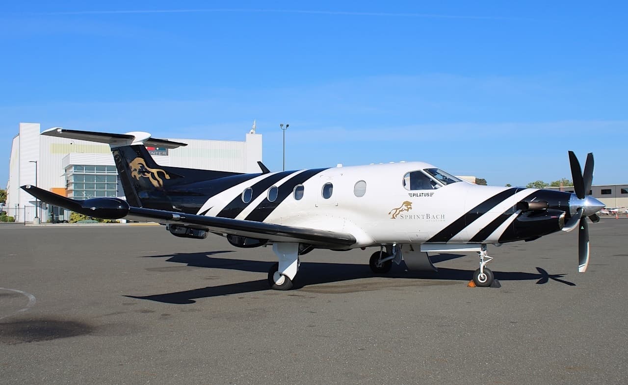 Wed, Nov 4TomorrowSanta BarbaraKSBA · Santa Barbara Municipal AirportRenoKRNO · Reno Tahoe International AirportPilatus PC-128—$3,6304NovSanta Barbara → RenoKSBA → KRNO · TomorrowPilatus PC-12 · 8 seats$3,630
- Wed, Nov 4TomorrowSanta BarbaraKSBA · Santa Barbara Municipal AirportHoustonKIAH · George Bush Intercontinental Houston AirportFalcon 900B8—€27,6854NovSanta Barbara → HoustonKSBA → KIAH · TomorrowFalcon 900B · 8 seats€27,685
- Thu, Nov 5in 2 daysSanta BarbaraKSBA · Santa Barbara MunTucsonKTUS · Tucson IntlCessna Citation Ultra—1h 54mOn request5NovSanta Barbara → TucsonKSBA → KTUS · in 2 daysCessna Citation Ultra · 1h 54mOn request
- Thu, Nov 5in 2 daysSanta BarbaraKSBA · Santa Barbara Municipal AirportSan JoseKSJC · Norman Y. Mineta San Jose International AirportCessna Citation X8—$8,9105NovSanta Barbara → San JoseKSBA → KSJC · in 2 daysCessna Citation X · 8 seats$8,910
 Thu, Nov 509:09Santa BarbaraKSBA · Santa Barbara Municipal AirportCarlsbadKCRQ · McClellan-Palomar AirportPilatus PC 128—$1,0745NovSanta Barbara → CarlsbadKSBA → KCRQ · 09:09Pilatus PC 12 · 8 seats$1,074
- Thu, Nov 5in 2 daysSanta BarbaraKSBA · Santa Barbara Municipal AirportPhoenixKPHX · Phoenix Sky Harbor International AirportCJ38—On request5NovSanta Barbara → PhoenixKSBA → KPHX · in 2 daysCJ3 · 8 seatsOn request
 KSBA · Santa Barbara Mun
* Total price incl. 10% service fee, converted to your selected currency. Price subject to operator confirmation.
Empty legs to KSBA
52 arrivals available
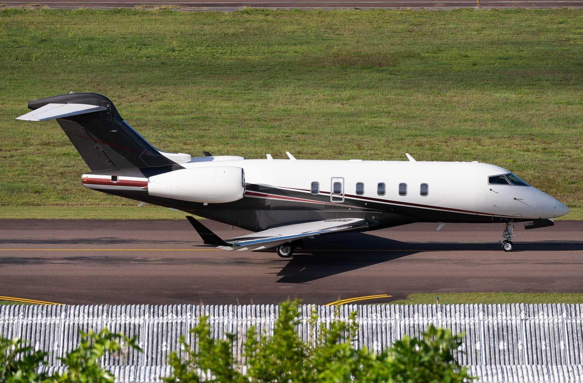 Tue, Nov 3TodayDenverKBJC · Rocky Mountain Metropolitan AirportSanta BarbaraKSBA · Santa Barbara Municipal AirportChallenger 3508—On request3NovDenver → Santa BarbaraKBJC → KSBA · TodayChallenger 350 · 8 seatsOn request
- Tue, Nov 3TodayIndianapolisKTYQ · Indianapolis Executive AirportSanta BarbaraKSBA · Santa Barbara Municipal AirportCitation X9—€29,4533NovIndianapolis → Santa BarbaraKTYQ → KSBA · TodayCitation X · 9 seats€29,453
- Wed, Nov 413:22Van NuysKVNY · Van Nuys AirportSanta BarbaraKSBA · Santa Barbara Municipal AirportBombardier Challenger 85015—$3,4104NovVan Nuys → Santa BarbaraKVNY → KSBA · 13:22Bombardier Challenger 850 · 15 seats$3,410
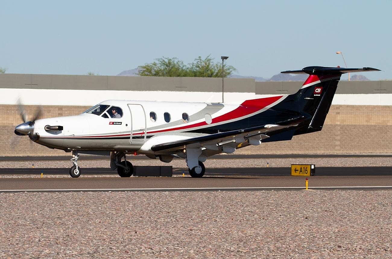 Fri, Nov 6in 3 daysLoganKLGU · Logan Cache AirportSanta BarbaraKSBA · Santa Barbara Municipal AirportPilatus PC-127—On request6NovLogan → Santa BarbaraKLGU → KSBA · in 3 daysPilatus PC-12 · 7 seatsOn request
- Fri, Nov 607:34MontereyKMRY · Monterey Peninsula AirportSanta BarbaraKSBA · Santa Barbara Municipal AirportCessna Citation Bravo7—$2,3106NovMonterey → Santa BarbaraKMRY → KSBA · 07:34Cessna Citation Bravo · 7 seats$2,310
- Fri, Nov 6in 3 daysLoganKLGU · Logan Cache AirportSanta BarbaraKSBA · Santa Barbara Municipal AirportPilatus PC-12/477—On request6NovLogan → Santa BarbaraKLGU → KSBA · in 3 daysPilatus PC-12/47 · 7 seatsOn request
- Sun, Nov 8in 5 daysWestchesterKHPN · Westchester County AirportSanta BarbaraKSBA · Santa Barbara Municipal AirportFalcon 90014—$56,7608NovWestchester → Santa BarbaraKHPN → KSBA · in 5 daysFalcon 900 · 14 seats$56,760
- Sun, Nov 8in 5 daysWhite PlainsKHPN · Westchester CountySanta BarbaraKSBA · Santa Barbara MunFalcon 900B——On request8NovWhite Plains → Santa BarbaraKHPN → KSBA · in 5 daysFalcon 900BOn request
- Sun, Nov 8in 5 daysWhite PlainsKHPN · Westchester County AirportSanta BarbaraKSBA · Santa Barbara Municipal AirportDassault Falcon 900B146h 30mOn request8NovWhite Plains → Santa BarbaraKHPN → KSBA · in 5 daysDassault Falcon 900B · 14 seats · 6h 30mOn request
* Total price incl. 10% service fee, converted to your selected currency. Price subject to operator confirmation.
Map: Santa Barbara Airport
View the location of Santa Barbara – SBA/KSBA. Zoom in to explore the area around the airport.
About the airport
Santa Barbara Municipal Airport (SBA/KSBA) is the key private jet gateway for Santa Barbara. PrivJet gives you instant access to charter flights and empty legs: fast, discreet and globally connected.
KSBA airport FAQ
Are there any restrictions at Santa Barbara airport (KSBA) today?
There are currently 16 valid NOTAMs for Santa Barbara (KSBA). Affected: Taxiway: closed; Taxiway: out of service; Obstacle: out of service; Runway: out of service and 1 more. 9 more NOTAMs start in the coming days. For information only, not for flight planning or operational use. Always rely on an official pre-flight briefing. This list may be incomplete or out of date.
What is the weather at Santa Barbara airport (KSBA)?
According to the latest weather report for KSBA (METAR, 03 Nov, 08:53 UTC): Good visual conditions (VFR). Wind Calm, visibility 10 km or more, temperature 12 °C (dew point 10 °C). For information only, not for flight planning. Weather can change quickly; always rely on official reports.
How long are the runways at Santa Barbara airport (KSBA)?
Santa Barbara (KSBA) has 3 runways: runway 07/25 with 1,840 m (6,037 ft), asphalt, runway 15L/33R with 1,277 m (4,190 ft), asphalt and runway 15R/33L with 1,277 m (4,190 ft), asphalt. The longest is 1,840 m.
What are the radio frequencies at Santa Barbara airport (KSBA)?
Frequencies at KSBA: Tower 119.7 MHz, Ground 121.7 MHz and ATIS 132.65 MHz. For information only. Always rely on the published AIP.
What are the airport codes of Santa Barbara Municipal Airport?
The ICAO code is KSBA and the IATA code is SBA. ICAO codes are used by air traffic control and pilots, e.g. in flight plans; IATA codes appear on tickets and baggage tags.
What is the elevation of KSBA airport?
Santa Barbara Municipal Airport sits at 13 ft (4 m) above sea level. Local time zone: America/Los Angeles.
Can I fly to KSBA by private jet?
Whether a private jet can operate into Santa Barbara Municipal Airport depends on runway length, opening hours, customs and immigration rules as well as slot and handling availability, among other things. PrivJet checks this with the operating carrier for every request.
Are there empty legs from or to KSBA?
There are currently 51 empty legs departing from and 52 arriving at Santa Barbara Municipal Airport. Empty legs are repositioning flights at heavily reduced prices; the list is updated several times a day.