Scottsdale Airport (KSDL / SCF)
Empty legs and charters from Scottsdale
KSDL airport at a glance
- ICAO code
- KSDL
- IATA code
- SCF
- City
- Scottsdale
- Region
- Arizona
- Country
- United States
- Elevation
- 1,510 ft (460 m)
- Time zone
- America/Phoenix (UTC-7)
- Coordinates
- 33.6229° N, 111.9110° W
- Empty legs from
- 100
- Empty legs to
- 100
Private jet terminal & FBOs at Scottsdale
- Signature Aviation SDL15290 N 78th Way, Scottsdale, AZ 85260
- Atlantic Aviation SDL14600 N. Airport Drive, Scottsdale, AZ 85260
- Jet Aviation Scottsdale14650 N Airport Dr., Scottsdale, AZ 85260
Weather & airport info KSDL
Current weather
No current weather report is available for this airport.
Airport
- Elevation
- 1,510 ft (460 m)
- Sunrise / Sunset
- 06:48 / 17:34 local time
Runways
| Runway | Length | Surface | Lighted |
|---|---|---|---|
| 03/21 | 2,514 m (8,249 ft) | asphalt | yes |
Radio frequencies
- ATIS: 118.6
- Clearance: 124.8
- CTAF: 119.9
- Ground: 121.6
- Tower: 119.9
For information only, not for flight planning. Weather can change quickly; always rely on official reports. Sources: aviationweather.gov (NOAA), OurAirports.
Airport map KSDL
Full screen →Runways white, taxiways yellow with designators, closed taxiways and runways per NOTAM in red.
Official charts (FAA)
Cycle 2611, valid until 0901Z 11/26/26
Airport diagram (FAA)
Airport diagram (1)
Instrument approaches (6)
Departure procedures (13)
Obstacle departure procedures (1)
For information only, not for navigation. Always use current official charts and NOTAMs.
Current NOTAMs for KSDL(6)
NOTAMs (Notices to Air Missions) announce short-term changes at an airport: closed runways or taxiways, unserviceable approach aids, obstacles, airspace restrictions.
- Out of serviceStandard instrument departure: changed4254/26· until 06 Nov, 23:00 UTC
The DINGO, OLIIN, and TUCSON transitions of the standard departure route (SID) SCOTTSDALE SEVEN DEPARTURE at Scottsdale airport are not available except for aircraft equipped with a suitable RNAV system with GPS, because the TFD VOR is out of service. The VOR is a navigation system that helps aircraft determine their position.
Show original text
SID SCOTTSDALE, SCOTTSDALE, AZ. SCOTTSDALE SEVEN DEPARTURE... DINGO TRANSITION,OLIIN TRANSITION,TUCSON TRANSITION NA EXCEPT FOR AIRCRAFT EQUIPPED WITH SUITABLE RNAV SYSTEM WITH GPS, TFD VOR OUT OF SERVICE. 2611021500-2611062300EST
Q) KZAB/QPDCH/I/NBO/A/000/999/3337N11154W005
A) KSDL
B) 2505052159
C) 2512152159EST
E) SDL SCOTTSDALE, SCOTTSDALE, AZ.
SCOTTSDALE SEVEN DEPARTURE...
DINGO TRANSITION,OLIIN TRANSITION,TUCSON TRANSITION NA EXCEPT FOR AIRCRAFT EQUIPPED WITH SUITABLE RNAV SYSTEM WITH GPS,
TFD VOR U/S.
- Out of serviceStandard instrument departure: changed5246/26· until 02 Dec, 14:47 UTC
The SCOTTSDALE SEVEN standard departure route (SID), including the DINGO, OLIIN, and TUCSON transitions, is not available except for aircraft equipped with a suitable RNAV system with GPS, as the TFD TACAN system is out of service.
Show original text
SID SCOTTSDALE, SCOTTSDALE, AZ. SCOTTSDALE SEVEN DEPARTURE... DINGO TRANSITION, OLIIN TRANSITION, TUCSON TRANSITION: NA EXCEPT FOR ACFT EQUIPPED WITH SUITABLE RNAV SYSTEM WITH GPS, TFD TACAN OUT OF SERVICE. 2609241447-2612021447EST
Q) KZAB/QPDCH/I/NBO/A/000/999/3337N11154W005
A) KSDL
B) 2412251202
C) 2508061159EST
E) SDL SCOTTSDALE, SCOTTSDALE, AZ.
SCOTTSDALE SEVEN DEPARTURE...
DINGO TRANSITION, OLIIN TRANSITION, TUCSON TRANSITION:  NA EXCEPT FOR ACFT EQUIPPED WITH SUITABLE RNAV SYSTEM WITH GPS,
TFD TACAN U/S.
- NoticeDaylight markings10/017· until 05 Nov, 01:00 UTC (estimated)
The surface markings on apron taxiway A8 are obscured on the northwest side. This means the markings on the taxiway might be difficult to see.
Show original text
APRON TXL A8 SFC MARKINGS NW SIDE OBSC
10/017 NOTAMN
Q) KZAB/QMMXX/V/M/A/000/999/3337N11154W005
A) KSDL
B) 2610311851
C) 2611050100EST

E) TXL A8 SFC MARKINGS NW SIDE
 OBSC
- NoticeDaylight markings10/016· until 05 Dec, 01:00 UTC
The surface markings on the taxiway at the south side of the Jet Aviation apron are obscured. This might make it harder to navigate while taxiing.
Show original text
APRON JET AVIATION TXL SFC MARKINGS S SIDE OBSC
10/016 NOTAMN
Q) KZAB/QMMXX/V/M/A/000/999/3337N11154W005
A) KSDL
B) 2610311845
C) 2612050100

E) JET AVIATION TXL SFC MARKINGS S SIDE
 OBSC
- NoticeApron10/015· until 05 Nov, 01:00 UTC
The surface markings on the Atlantic North apron, between taxiway A5 and taxiway A6, are obscured.
Show original text
APRON ATLANTIC NORTH TXL SFC MARKINGS BTN TWY A5 AND TWY A6 OBSC
- NoticeInstrument approach procedure5982/26· until 10 May, 20:25 UTC (estimated)
For the RNAV (RNP) Y and Z approaches to runway 3 at Scottsdale Airport, there are two temporary cranes: one 863 ft north of the runway, its top is 1620 ft above sea level, and another 3762 ft northwest of the runway, its top is 1715 ft above sea level.
Show original text
IAP SCOTTSDALE, SCOTTSDALE, AZ. RNAV (RNP) Y RWY 3, ORIG-B... RNAV (RNP) Z RWY 3, ORIG-A... RNP 0.30 DA 1923/ HAT 453 ALL CATS. TEMPORARY CRANE 1620 MSL 863FT N OF RWY 3 (2019-AWP-3962-NRA), TEMPORARY CRANE 1715 MSL 3762FT NW OF RWY 3 (2023-AWP-18227-OE). 2609282025-2705102025EST
Q) KZAB/QPIXX/I/NBO/A/000/999/3337N11154W005
A) KSDL
B) 2609282025
C) 2705102025EST
E) SDL SCOTTSDALE, SCOTTSDALE, AZ.
RNAV (RNP) Y RWY 3, ORIG-B...
RNAV (RNP) Z RWY 3, ORIG-A...
RNP 0.30 DA 1923/ HAT 453 ALL CATS. TEMPORARY CRANE 1620 MSL 863FT N OF RWY 3 (2019-AWP-3962-NRA), TEMPORARY CRANE 1715 MSL 3762FT NW OF RWY 3 (2023-AWP-18227-OE).
For information only, not for flight planning or operational use. Always rely on an official pre-flight briefing. This list may be incomplete or out of date. Explanations and expanded abbreviations are generated automatically. The original text is authoritative. Source: FAA NOTAM Management Service (SWIM).
Private jet traffic in Scottsdale Airport (last 30 days)
- Arrivals
- 1,914
- Departures
- 1,838
- Different jets
- 1,145
Most frequent origins: John Wayne Airport-Orange County Airport (67), Harry Reid International Airport (48), Phoenix Deer Valley Airport (40), Centennial Airport (40), Salt Lake City International Airport (37).
Most frequent destinations: Harry Reid International Airport (82), John Wayne Airport-Orange County Airport (58), Van Nuys Airport (54), Phoenix Deer Valley Airport (46), Phoenix Sky Harbor International Airport (44).
Most common aircraft types: Embraer Phenom 300 (303), Cessna Citation Latitude (237), Bombardier Challenger 350/3500 (212), Cessna Citation Excel/XLS (162), Bombardier Challenger 300 (160).
Our own analysis of public ADS-B signals from business jets. Not every flight is received, and jets with a removal request are excluded.
Charter operators based here
Operators with a base at this airport.
- Executive Jet ManagementWhite Plains (Westchester County) (KHPN) · Light jet, Midsize jet, Super midsize jet
- Wheels UpDenver (Rocky Mountain Metropolitan) (KBJC) · Turboprop, Light jet, Midsize jet
- Fly AllianceOrlando Executive (KORL) · Light jet, Midsize jet, Super midsize jet
- SkyShareSalt Lake City International (KSLC) · Turboprop, Light jet, Midsize jet
- Silver Air Private JetsVan Nuys (KVNY) · Turboprop, Light jet, Super midsize jet
- Air 7Camarillo (KCMA) · Turboprop, Light jet, Midsize jet
- Alpha Jet CharterLight jet
- Jet OutFort Worth (Meacham International) (KFTW) · Light jet
- JSXDallas (Love Field) (KDAL) · Turboprop, Super midsize jet
- Pinnacle AviationLight jet, Midsize jet, Super midsize jet
- Jet LogisticsChicago (Dupage) (KDPA) · Light jet, Midsize jet
- Legacy JetsLight jet, Midsize jet
- PrismJetLight jet, Super midsize jet, Heavy jet
- Elevage Flight TravelLight jet, Super midsize jet
- Paradise JetsMidsize jet, Heavy jet
- Dorato JetsFort Lauderdale Executive (KFXE) · Light jet
- Western Sky HelicoptersHelicopter
- Executive Aircraft ServicesLight jet
- H5 HelicoptersHelicopter
Empty legs from KSDL
100 departures available
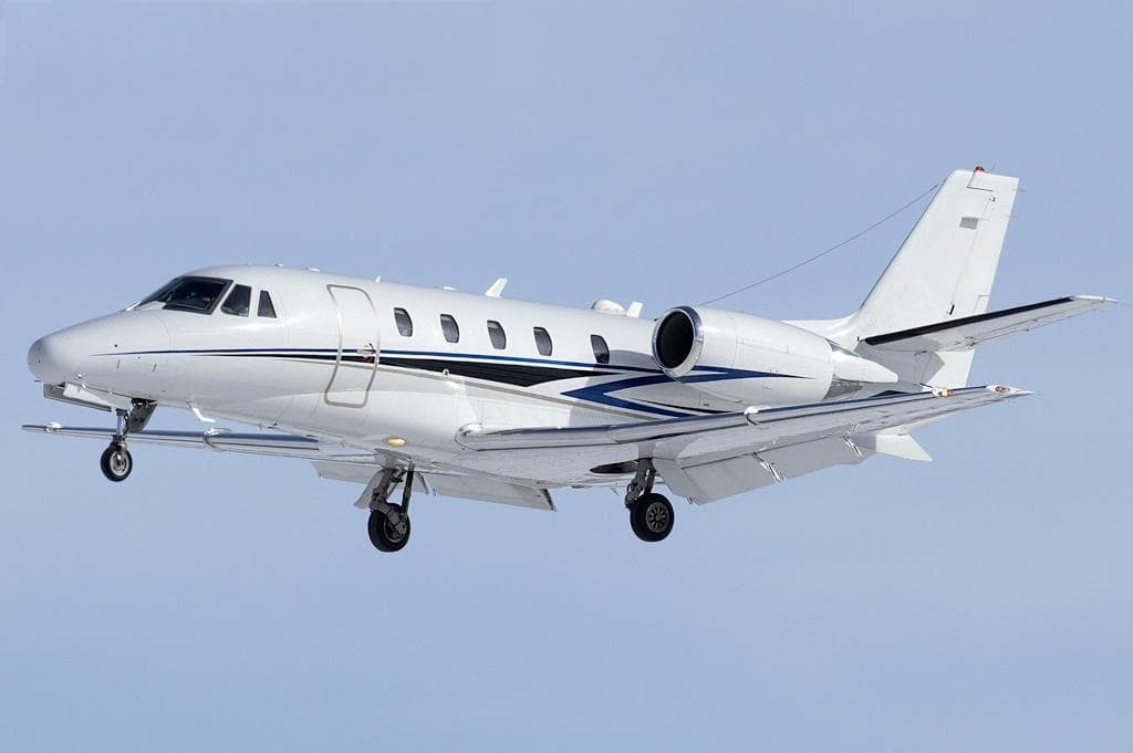 Tue, Nov 3TodayScottsdaleKSDL · Scottsdale AirportCalgaryCYYC · Calgary International AirportCitation XLS8—On request3NovScottsdale → CalgaryKSDL → CYYC · TodayCitation XLS · 8 seatsOn request
 Tue, Nov 3TodayScottsdaleKSDL · Scottsdale AirportLas VegasKHND · Henderson Executive AirportPremier I6—$4,4003NovScottsdale → Las VegasKSDL → KHND · TodayPremier I · 6 seats$4,400
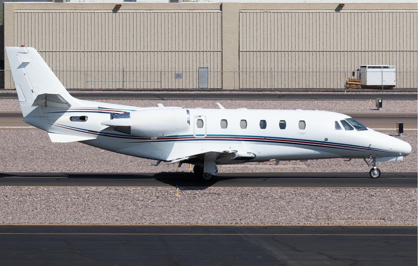 Tue, Nov 3TodayScottsdaleKSDL · Scottsdale AirportSalt Lake CityKSLC · Salt Lake City International AirportCitation XLS9—$9,0843NovScottsdale → Salt Lake CityKSDL → KSLC · TodayCitation XLS · 9 seats$9,084
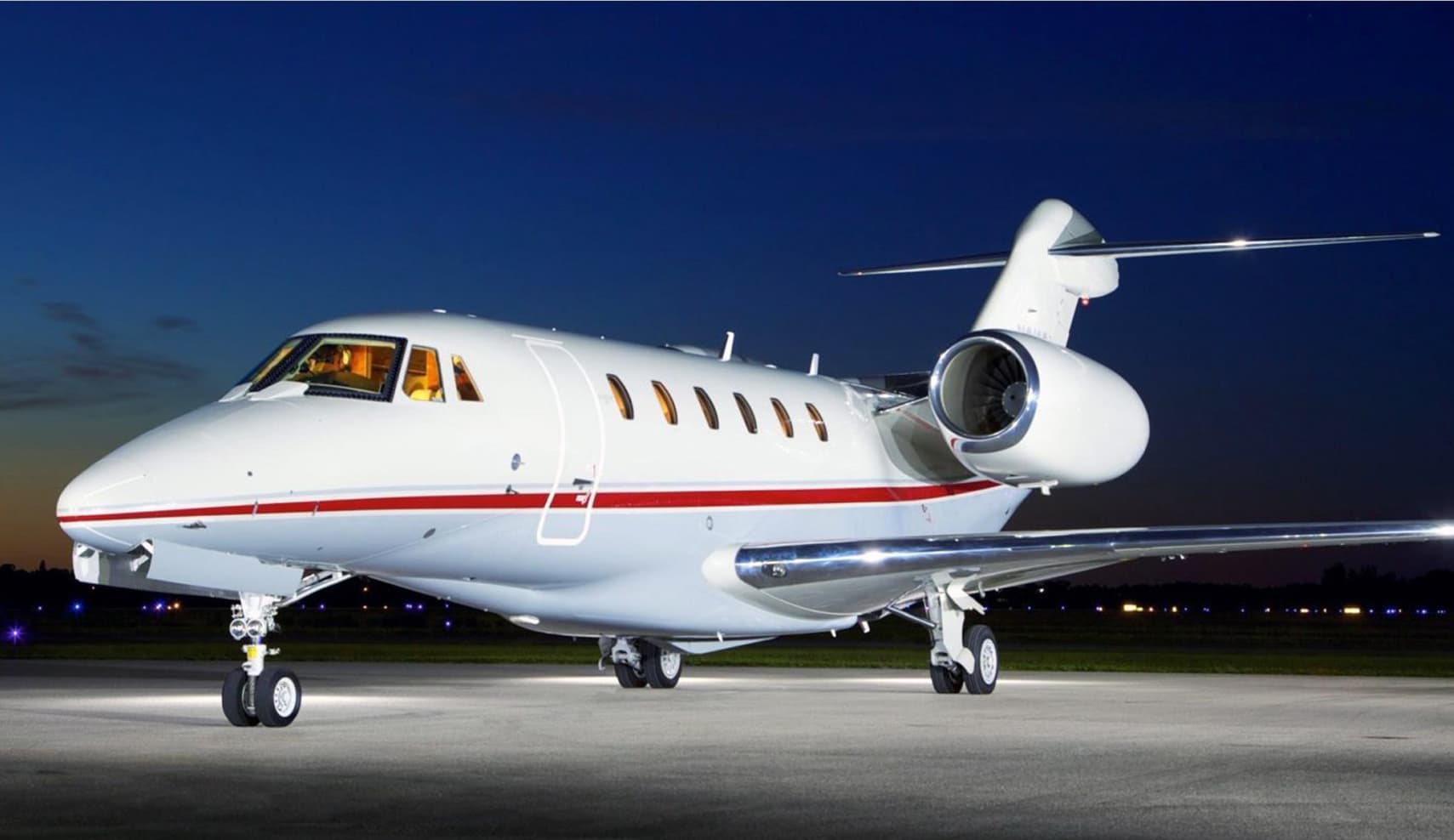 Tue, Nov 3TodayScottsdaleKSDL · Scottsdale AirportLos AngelesKVNY · Van Nuys AirportCitation X8—$8,8003NovScottsdale → Los AngelesKSDL → KVNY · TodayCitation X · 8 seats$8,800
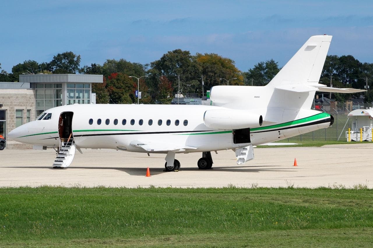 Tue, Nov 3TodayScottsdaleKSDL · Scottsdale AirportHoustonKHOU · William P Hobby AirportFalcon 900B14—On request3NovScottsdale → HoustonKSDL → KHOU · TodayFalcon 900B · 14 seatsOn request
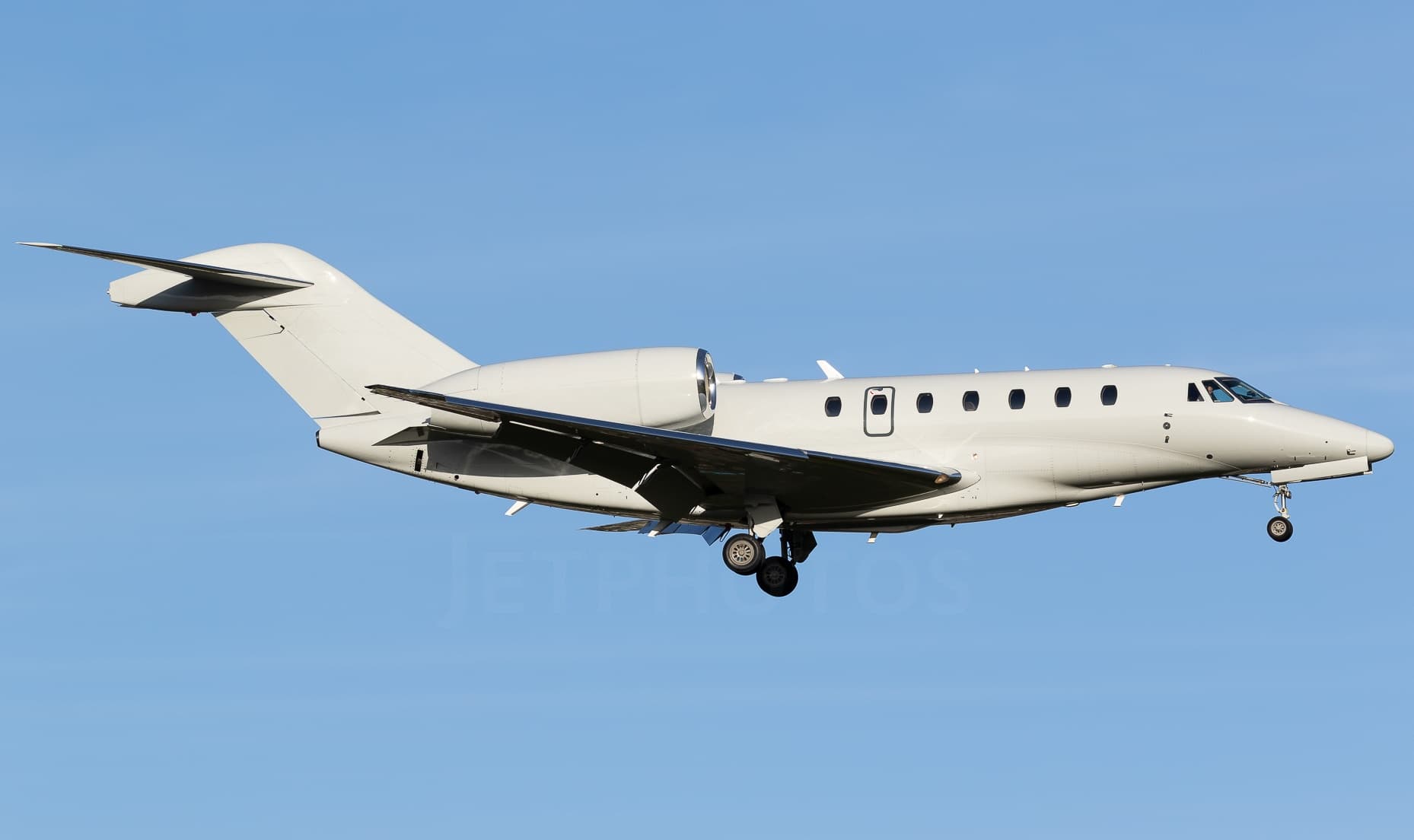 Tue, Nov 3TodayScottsdaleKSDL · Scottsdale AirportWestchesterKHPN · Westchester County AirportCitation X8—On request3NovScottsdale → WestchesterKSDL → KHPN · TodayCitation X · 8 seatsOn request
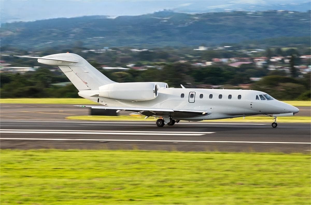 Tue, Nov 3TodayScottsdaleKSDL · Scottsdale AirportAtlantic CityKACY · Atlantic City International AirportCitation X8—On request3NovScottsdale → Atlantic CityKSDL → KACY · TodayCitation X · 8 seatsOn request
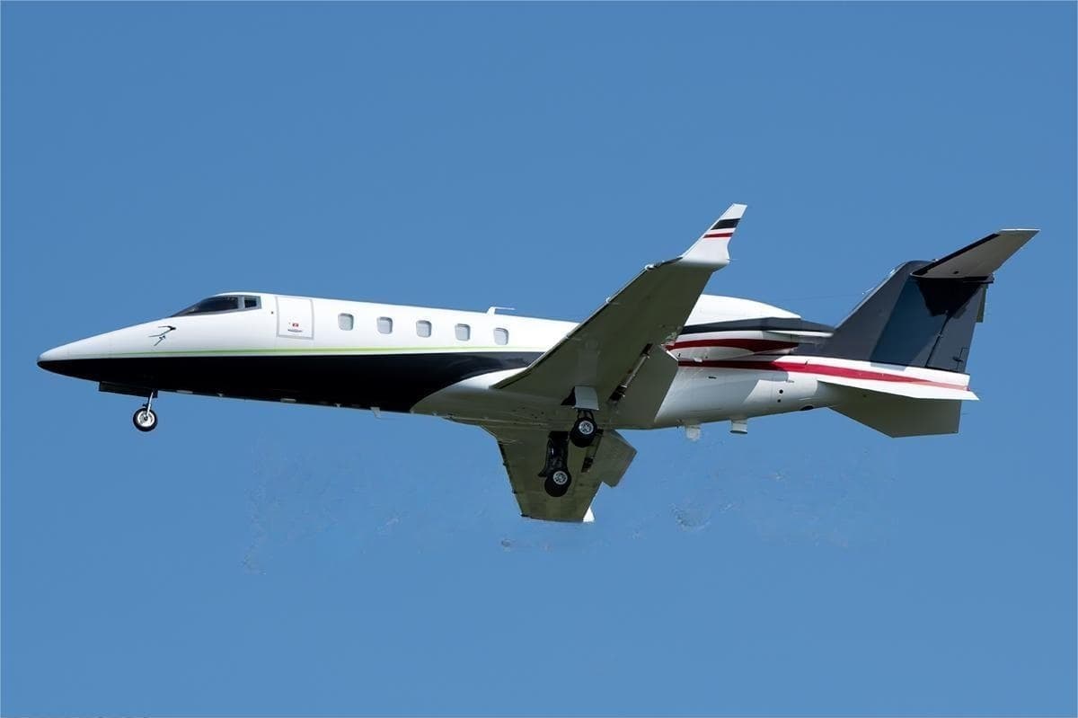 Tue, Nov 3TodayScottsdaleKSDL · Scottsdale AirportSan FranciscoKOAK · Metropolitan Oakland International AirportLearjet 607—$11,3303NovScottsdale → San FranciscoKSDL → KOAK · TodayLearjet 60 · 7 seats$11,330
 Tue, Nov 3TodayScottsdaleKSDL · Scottsdale AirportHeber CityKHCR · Heber Valley AirportCitation CJ28—On request3NovScottsdale → Heber CityKSDL → KHCR · TodayCitation CJ2 · 8 seatsOn request
 KSDL · Scottsdale Airport
 CYYC · Calgary International Airport
* Total price incl. 10% service fee, converted to your selected currency. Price subject to operator confirmation.
Empty legs to KSDL
100 arrivals available
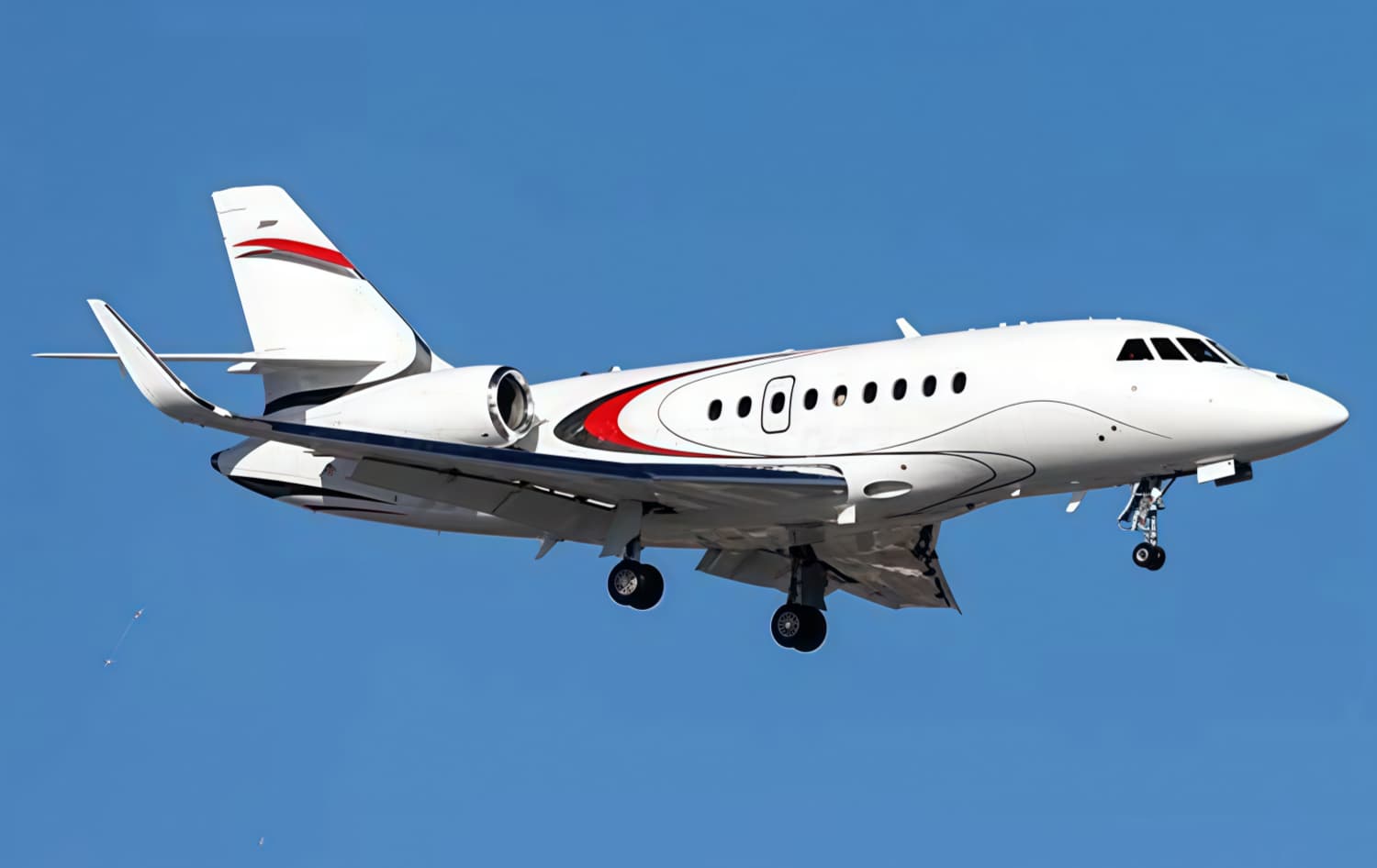 Tue, Nov 3TodayLos AngelesKLAX · Los Angeles International AirportScottsdaleKSDL · Scottsdale AirportFalcon 2000LXS10—On request3NovLos Angeles → ScottsdaleKLAX → KSDL · TodayFalcon 2000LXS · 10 seatsOn request
 Tue, Nov 3TodayLas VegasKHND · Henderson Executive AirportScottsdaleKSDL · Scottsdale AirportBeechcraft Premier I148m$4,4003NovLas Vegas → ScottsdaleKHND → KSDL · TodayBeechcraft Premier I · 1 seat · 48m$4,400
- Tue, Nov 3TodayDenverKAPA · Centennial AirportScottsdaleKSDL · Scottsdale AirportBeechcraft Hawker 800XP81h 42mOn request3NovDenver → ScottsdaleKAPA → KSDL · TodayBeechcraft Hawker 800XP · 8 seats · 1h 42mOn request
- Tue, Nov 3TodayCalgaryCYYC · Calgary International AirportScottsdaleKSDL · Scottsdale AirportBombardier Inc Challenger 300/3508—CA$63,1543NovCalgary → ScottsdaleCYYC → KSDL · TodayBombardier Inc Challenger 300/350 · 8 seatsCA$63,154
- Tue, Nov 3TodayCalgaryCYYC · Calgary International AirportScottsdaleKSDL · Scottsdale AirportIsrael Aircraft Industries G1507—CA$53,8283NovCalgary → ScottsdaleCYYC → KSDL · TodayIsrael Aircraft Industries G150 · 7 seatsCA$53,828
- Tue, Nov 3TodayCalgaryCYYC · Calgary International AirportScottsdaleKSDL · Scottsdale AirportLearjet Lear 459—CA$45,7383NovCalgary → ScottsdaleCYYC → KSDL · TodayLearjet Lear 45 · 9 seatsCA$45,738
- Tue, Nov 3TodayHoustonKHOU · William P. Hobby AirportScottsdaleKSDL · Scottsdale AirportBombardier Challenger 3009—$20,8123NovHouston → ScottsdaleKHOU → KSDL · TodayBombardier Challenger 300 · 9 seats$20,812
- Wed, Nov 4TomorrowCarlsbadKCRQ · Mc Clellan-Palomar AirportScottsdaleKSDL · Scottsdale AirportCessna Citation CJ3——On request4NovCarlsbad → ScottsdaleKCRQ → KSDL · TomorrowCessna Citation CJ3On request
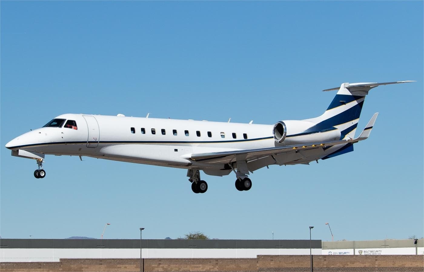 Wed, Nov 4TomorrowSan DiegoKCRQ · Mc Clellan-Palomar AirportScottsdaleKSDL · Scottsdale AirportLegacy 60013—$5,8304NovSan Diego → ScottsdaleKCRQ → KSDL · TomorrowLegacy 600 · 13 seats$5,830
* Total price incl. 10% service fee, converted to your selected currency. Price subject to operator confirmation.
Map: Scottsdale Airport
View the location of Scottsdale – SCF/KSDL. Zoom in to explore the area around the airport.
About the airport
Scottsdale Airport (SCF/KSDL) is the key private jet gateway for Scottsdale. PrivJet gives you instant access to charter flights and empty legs: fast, discreet and globally connected.
KSDL airport FAQ
Are there any restrictions at Scottsdale airport (KSDL) today?
There are currently 6 valid NOTAMs for Scottsdale (KSDL). Affected: Standard instrument departure: changed. For information only, not for flight planning or operational use. Always rely on an official pre-flight briefing. This list may be incomplete or out of date.
How long are the runways at Scottsdale airport (KSDL)?
Scottsdale (KSDL) has one runway: runway 03/21 with 2,514 m (8,249 ft), asphalt.
What are the radio frequencies at Scottsdale airport (KSDL)?
Frequencies at KSDL: Tower 119.9 MHz, Ground 121.6 MHz and ATIS 118.6 MHz. For information only. Always rely on the published AIP.
What are the airport codes of Scottsdale Airport?
The ICAO code is KSDL and the IATA code is SCF. ICAO codes are used by air traffic control and pilots, e.g. in flight plans; IATA codes appear on tickets and baggage tags.
What is the elevation of KSDL airport?
Scottsdale Airport sits at 1,510 ft (460 m) above sea level. Local time zone: America/Phoenix.
Where do private jets land at Scottsdale?
KSDL has 3 private jet terminals or FBOs: Signature Aviation SDL, Atlantic Aviation SDL and Jet Aviation Scottsdale. Your flight confirmation says which one your operator uses.
Can I fly to KSDL by private jet?
Whether a private jet can operate into Scottsdale Airport depends on runway length, opening hours, customs and immigration rules as well as slot and handling availability, among other things. PrivJet checks this with the operating carrier for every request.
Are there empty legs from or to KSDL?
There are currently 100 empty legs departing from and 100 arriving at Scottsdale Airport. Empty legs are repositioning flights at heavily reduced prices; the list is updated several times a day.