Teterboro Airport (KTEB / TEB)
Empty legs and charters from Teterboro
KTEB airport at a glance
- ICAO code
- KTEB
- IATA code
- TEB
- City
- Teterboro
- Region
- New Jersey
- Country
- United States
- Elevation
- 9 ft (3 m)
- Time zone
- America/New York (UTC-5)
- Coordinates
- 40.8501° N, 74.0608° W
- Empty legs from
- 100
- Empty legs to
- 100
Private jet terminal & FBOs at Teterboro
- Signature Aviation TEB East200 Fred Wehran Drive, Teterboro, NJ 07608
- Signature Aviation TEB West485 Industrial Avenue, Teterboro, NJ 07608
- Signature Aviation TEB South101 Charles A Lindbergh Drive, Teterboro, NJ 07608
- Atlantic Aviation TEB233 Industrial Ave., Teterboro, NJ 07608
Weather & airport info KTEB
Current weather
Good visual conditions (VFR)observed 03 Nov, 01:51 UTC- Wind
- 6 kt (11 km/h) from southwest (220°)
- Visibility
- 10 km or more
- Clouds
- no significant clouds
- Temperature
- 12 °C (dew point 4 °C)
- Pressure (QNH)
- 1,027 hPa
Original weather report (METAR)
METAR KTEB 030151Z 22006KT 10SM CLR 12/04 A3032 RMK AO2 SLP267 T01220044 $
Forecast (TAF)
- 03 Nov, 02:00–15:00 UTC4 kt (7 km/h) from south-southwest (210°) · visibility 10 km or more · scattered clouds at 15,000 ft
- 03 Nov, 15:00–20:00 UTCfrom6 kt (11 km/h) from southwest (220°) · visibility 10 km or more · few clouds at 8,000 ft, few clouds at 15,000 ft
- 03 Nov, 20:00–00:00 UTCfrom7 kt (13 km/h) from south-southwest (200°) · visibility 10 km or more · few clouds at 10,000 ft
- 04 Nov, 00:00–06:00 UTCfrom4 kt (7 km/h) from south-southwest (200°) · visibility 10 km or more · no significant clouds
Original forecast (TAF)
TAF KTEB 030229Z 0302/0406 21004KT P6SM SCT150 FM031500 22006KT P6SM FEW080 FEW150 FM032000 20007KT P6SM FEW100 FM040000 20004KT P6SM SKC
Airport
- Elevation
- 9 ft (3 m)
- Sunrise / Sunset
- 06:28 / 16:50 local time
Runways
| Runway | Length | Surface | Lighted |
|---|---|---|---|
| 1/19 | 2,133 m (6,997 ft) | asphalt | yes |
| 6/24 | 1,833 m (6,014 ft) | asphalt | yes |
Radio frequencies
- Approach: 127.6
- ATIS: 132.025
- Clearance: 128.05
- Ground: 121.9
- Tower: 119.5
- Tower: 125.1
For information only, not for flight planning. Weather can change quickly; always rely on official reports. Sources: aviationweather.gov (NOAA), OurAirports.
Airport map KTEB
Full screen →Runways white, taxiways yellow with designators, closed taxiways and runways per NOTAM in red.
Official charts (FAA)
Cycle 2611, valid until 0901Z 11/26/26
Airport diagram (FAA)
Airport diagram (1)
Instrument approaches (11)
Departure procedures (3)
Minimums (2)
Hot spots (1)
LAHSO (1)
For information only, not for navigation. Always use current official charts and NOTAMs.
Current NOTAMs for KTEB(21)
NOTAMs (Notices to Air Missions) announce short-term changes at an airport: closed runways or taxiways, unserviceable approach aids, obstacles, airspace restrictions.
- ClosedRunway: closedA3016/26· from 04 Nov, 11:00 UTC · until 04 Nov, 17:00 UTC
Runway 01/19 at Teterboro Airport is closed, except for crossing.
Show original text
RWY 01/19 CLSD EXC XNG
A3016/26 NOTAMN
Q) KZNY/QMRLC////000/999/4051N07403W005
A) KTEB
B) 2611041100
C) 2611041700
E) RWY 01/19 CLSD EXC XNG
- ClosedRunway: closedA3033/26· from 03 Nov, 11:00 UTC · until 03 Nov, 17:00 UTC
Runway 06/24 is closed. This means aircraft cannot use this runway for takeoffs or landings.
Show original text
RWY 06/24 CLSD
A3033/26 NOTAMN
Q) KZNY/QMRLC////000/999/4051N07403W005
A) KTEB
B) 2611031100
C) 2611031700
E) RWY 06/24 CLSD
- ClosedTaxiway: closedA3030/26· from 05 Nov, 04:00 UTC · until 05 Nov, 10:00 UTC
Taxiway Q between taxiway L and runway 01/19 is closed. This means that this section of the taxiway cannot be used.
Show original text
TWY Q BTN TWY L AND RWY 01/19 CLSD
A3030/26 NOTAMN
Q) KZNY/QMXLC////000/999/4051N07403W005
A) KTEB
B) 2611050400
C) 2611051000
E) TWY Q BTN TWY L AND RWY 01/19 CLSD
- Out of serviceVOR/DME: unserviceableA3021/26· from 04 Nov, 13:00 UTC · until 04 Nov, 21:00 UTC
The SBJ navigation VOR/DME system is out of service. This system helps aircraft with navigation.
Show original text
SBJ NAV VOR/DME U/S
A3021/26 NOTAMN Q) KZDC/QNMAS////000/999/4034N07444W005 A) KTEB B) 2611041300 C) 2611042100 E) SBJ NAV VOR/DME U/S
- Out of serviceObstacle11/002· until 01 Dec, 23:59 UTC
The tower light (ASR 1042783) 3.5 nautical miles southwest of the airport is out of service; its top is 413.1 feet above sea level, 410.1 feet above ground.
Show original text
OBST TOWER LGT (ASR 1042783) 404817.00N0740626.00W (3.5NM SW TEB) 413.1FT (410.1FT AGL) U/S
- Out of serviceObstacle11/001· until 01 Dec, 23:59 UTC
The tower light (ASR 1042782) 3.5 nautical miles southwest of the airport is out of service; its top is 413.1 feet above sea level, 410.1 feet above ground.
Show original text
OBST TOWER LGT (ASR 1042782) 404815.00N0740623.00W (3.5NM SW TEB) 413.1FT (410.1FT AGL) U/S
- Out of serviceDME: unserviceableA3024/26· until 30 Nov, 23:59 UTC
The Teterboro NAV DME (distance measuring equipment) is out of service. DME is a navigation system that measures the distance to a fixed point on the ground.
Show original text
TEB NAV DME U/S
A3024/26 NOTAMN
Q) KZNY/QNDAS////000/999/4051N07403W005
A) KTEB
B) 2610300219
C) 2611302359
E) TEB NAV DME U/S
- Out of serviceObstacle lights: unserviceableA3007/26· until 11 Dec, 01:51 UTC
A tower light 3.4 nautical miles southwest of the airport is out of service. The tower's top is 675 feet above sea level, 669 feet above ground.
Show original text
TOWER LGT (ASR 1237850) 404753.40N0740525.50W (3.4NM SW TEB) 675FT (669FT AGL) U/S
A3007/26 NOTAMN
Q) KZNY/QOLAS/IV/M/AE/000/999/4047N07405W001
A) KTEB
B) 2610261951
C) 2612110151
E) TOWER LGT (ASR 1237850) 404753.40N0740525.50W (3.4NM SW TEB) 675FT (669FT AGL) U/S
13 more NOTAMs
- Out of serviceServices10/158· until 27 Nov, 20:00 UTC (estimated)
The remote communication outlet 122.2 is out of service.
Show original text
COM REMOTE COM OUTLET 122.2 U/S
- Out of serviceDME: unserviceable10/134· until 04 Nov, 23:59 UTC
The Distance Measuring Equipment (DME) for navigation at Teterboro Airport (TEB NAV) is out of service. DME helps pilots determine their distance from a navigational point.
Show original text
TEB NAV DME U/S
A2966/26 NOTAMN Q) KZNY/QNDAS////000/999/4051N07403W005 A) KTEB B) 2610201105 C) 2611042359 E) TEB NAV DME U/S
- Out of serviceProcedure9241/26· until 25 May, 18:46 UTC
The standard departure routes (SID) Dixie and White from Teterboro are not available, except for aircraft equipped with a suitable RNAV system with GPS, as the COL VOR is out of service.
Show original text
SID TETERBORO, TETERBORO, NJ. TETERBORO FOUR DEPARTURE... DIXIE AND WHITE DEPARTURES: NA EXCEPT FOR AIRCRAFT EQUIPPED WITH SUITABLE RNAV SYSTEM WITH GPS, COL VOR OUT OF SERVICE. 2610131846-2705251846EST
Q) ZNY/undefined/NBO/A/000/999/4051N07403W025
A) KTEB
B) 2110071416
C) 2205191416EST
E) SID TETERBORO, TETERBORO, NJ.
TETERBORO FOUR DEPARTURE...
DIXIE AND WHITE DEPARTURES: NA EXCEPT FOR AIRCRAFT EQUIPPED WITH SUITABLE RNAV SYSTEM WITH GPS, COL VOR OUT OF SERVICE.
- Out of serviceStandard instrument departure: changedA2868/26· until 25 May, 18:46 UTC
The standard departure routes (SID) Teterboro Four Departure, Dixie, and White are not available except for aircraft equipped with a suitable RNAV system with GPS, as the COL VOR is out of service.
Show original text
SID TETERBORO, TETERBORO, NJ. TETERBORO FOUR DEPARTURE... DIXIE AND WHITE DEPARTURES: NA EXCEPT FOR AIRCRAFT EQUIPPED WITH SUITABLE RNAV SYSTEM WITH GPS, COL VOR OUT OF SERVICE.
A2868/26 NOTAMN
Q) KZNY/QPDCH/I/NBO/A/000/999/4051N07403W005
A) KTEB
B) 2610131846
C) 2705251846
E) SID TETERBORO, TETERBORO, NJ. TETERBORO FOUR DEPARTURE... DIXIE AND WHITE DEPARTURES: NA EXCEPT FOR AIRCRAFT EQUIPPED WITH SUITABLE RNAV SYSTEM WITH GPS, COL VOR OUT OF SERVICE.
- Out of serviceObstacle09/185· until 10 Nov, 06:13 UTC
A watertower light near the airport is out of service. The top of the obstacle is 203 ft above sea level, 90 ft above ground.
Show original text
OBST WATERTOWER LGT (ASN 2025-AEA-8476-OE) 405112N0740612W (1.9NM W TEB) 203FT (90FT AGL) U/S
- Out of serviceProcedure5310/26· until 06 May, 15:10 UTC
The standard departure routes (SIDs) "TETERBORO FOUR DEPARTURE" for COATE, ELIOT, NEWEL, and ZIMMZ are not available except for aircraft equipped with a suitable RNAV system with GPS, because the SAX VORTAC is out of service.
Show original text
SID TETERBORO, TETERBORO, NJ. TETERBORO FOUR DEPARTURE... COATE, ELIOT, NEWEL, ZIMMZ DEPARTURES: NA EXCEPT FOR AIRCRAFT EQUIPPED WITH SUITABLE RNAV SYSTEM WITH GPS, SAX VORTAC OUT OF SERVICE. 2609241510-2705061510EST
Q) ZNY/undefined/NBO/A/000/999/4051N07403W025
A) KTEB
B) 2206072254
C) 2301172254EST
E) SID TETERBORO, TETERBORO, NJ.
TETERBORO FOUR DEPARTURE...
COATE, ELIOT, NEWEL, ZIMMZ DEPARTURES: NA EXCEPT FOR AIRCRAFT EQUIPPED WITH SUITABLE RNAV SYSTEM WITH GPS, SAX VORTAC OUT OF SERVICE.
- Out of serviceStandard instrument departure: changedA2645/26· until 06 May, 15:10 UTC
The COATE, ELIOT, NEWEL, and ZIMMZ DEPARTURES standard departure routes (SIDs) at Teterboro airport are only available for aircraft equipped with a suitable RNAV system with GPS, as the SAX VORTAC is out of service.
Show original text
SID TETERBORO, TETERBORO, NJ. TETERBORO FOUR DEPARTURE... COATE, ELIOT, NEWEL, ZIMMZ DEPARTURES: NA EXCEPT FOR AIRCRAFT EQUIPPED WITH SUITABLE RNAV SYSTEM WITH GPS, SAX VORTAC OUT OF SERVICE.
A2645/26 NOTAMN
Q) KZNY/QPDCH/I/NBO/A/000/999/4051N07403W005
A) KTEB
B) 2609241510
C) 2705061510
E) SID TETERBORO, TETERBORO, NJ. TETERBORO FOUR DEPARTURE... COATE, ELIOT, NEWEL, ZIMMZ DEPARTURES: NA EXCEPT FOR AIRCRAFT EQUIPPED WITH SUITABLE RNAV SYSTEM WITH GPS, SAX VORTAC OUT OF SERVICE.
- NoticeAirspace11/009· from 08 Nov, 00:30 UTC · until 09 Nov, 02:30 UTC
Numerous unmanned aircraft systems (UAS) are present daily from 00:30 to 02:30 in the airspace within a 0.25 nautical mile radius of 403138N0742345W (8.7 nautical miles southwest of LDJ) up to 400 feet above ground.
Show original text
AIRSPACE NUMEROUS UAS WI AN AREA DEFINED AS .25NM RADIUS OF 403138N0742345W (8.7NM SW LDJ) SFC-400FT AGL DLY 0030-0230
- NoticeStandard instrument arrival: changed4087/26· until 06 Nov, 23:00 UTC
The JAIKE FOUR standard arrival route to Teterboro airport is changed. The SWNGR transition is not authorized; aircraft must use the TEMPO BOOYA transition instead.
Show original text
TEB STAR TETERBORO, NEW JERSEY. JAIKE FOUR ARRIVAL... SWNGR TRANSITION: NOT AUTHORIZED. ROUTE FROM SWNGR TO VAALI NOT AUTHORIZED. REQUIRED REROUTES FILE VIA TEMPO BOOYA TRANSITION: FROM ZJX AIRSPACE OVER WATER: SEELO GARIC ZORDO BBDOL BOOYA JAIKE4 FROM ZJX AIRSPACE INLAND: JROSS Q87 DADDS NOWAE BOOYA JAIKE4 FROM ZTL AIRSPACE: Q22 BEARI BBDOL BOOYA JAIKE4 DLY 1300-2300
A3026/26 NOTAMN Q) KZNY/QPACH/I/NBO/A/000/999/4051N07403W005 A) KTEB B) 2611021300 C) 2611062300 D) DLY 1300-2300 E) STAR TEB STAR TETERBORO, NEW JERSEY. JAIKE FOUR ARRIVAL... SWNGR TRANSITION: NOT AUTHORIZED. ROUTE FROM SWNGR TO VAALI NOT AUTHORIZED. REQUIRED REROUTES FILE VIA TEMPO BOOYA TRANSITION: FROM ZJX AIRSPACE OVER WATER: SEELO GARIC ZORDO BBDOL BOOYA JAIKE4 FROM ZJX AIRSPACE INLAND: JROSS Q87 DADDS NOWAE BOOYA JAIKE4 FROM ZTL AIRSPACE: Q22 BEARI BBDOL BOOYA JAIKE4
Hours: DLY 1300-2300
- NoticeStandard instrument arrival: changedA3026/26· until 06 Nov, 23:00 UTC
The JAIKE FOUR Standard Arrival Route to Teterboro Airport is not authorized for the SWNGR transition. Pilots must instead fly via the TEMPO BOOYA Transition and use the specified routes.
Show original text
STAR TEB STAR TETERBORO, NEW JERSEY. JAIKE FOUR ARRIVAL... SWNGR TRANSITION: NOT AUTHORIZED. ROUTE FROM SWNGR TO VAALI NOT AUTHORIZED. REQUIRED REROUTES FILE VIA TEMPO BOOYA TRANSITION: FROM ZJX AIRSPACE OVER WATER: SEELO GARIC ZORDO BBDOL BOOYA JAIKE4 FROM ZJX AIRSPACE INLAND: JROSS Q87 DADDS NOWAE BOOYA JAIKE4 FROM ZTL AIRSPACE: Q22 BEARI BBDOL BOOYA JAIKE4
A3026/26 NOTAMN Q) KZNY/QPACH/I/NBO/A/000/999/4051N07403W005 A) KTEB B) 2611021300 C) 2611062300 D) DLY 1300-2300 E) STAR TEB STAR TETERBORO, NEW JERSEY. JAIKE FOUR ARRIVAL... SWNGR TRANSITION: NOT AUTHORIZED. ROUTE FROM SWNGR TO VAALI NOT AUTHORIZED. REQUIRED REROUTES FILE VIA TEMPO BOOYA TRANSITION: FROM ZJX AIRSPACE OVER WATER: SEELO GARIC ZORDO BBDOL BOOYA JAIKE4 FROM ZJX AIRSPACE INLAND: JROSS Q87 DADDS NOWAE BOOYA JAIKE4 FROM ZTL AIRSPACE: Q22 BEARI BBDOL BOOYA JAIKE4
Hours: DLY 1300-2300
- NoticeDaylight markings10/162· until 01 Dec, 05:00 UTC
The surface painted holding position signs for runway 01/19 on taxiway Q are not standard. Pilots need to be especially attentive here.
Show original text
TWY Q SFC PAINTED HLDG PSN SIGNS FOR RWY 01/19 NOT STD
10/162 NOTAMR
Q) KZNY/QMMXX/V/M/A/000/999/4051N07403W005
A) KTEB
B) 2610261919
C) 2612010500

E) TWY Q SFC PAINTED HLDG PSN SIGNS FOR RWY 01/19 NOT STD
- NoticeAirspace10/159· until 31 Jan, 23:59 UTC
Airspace for unmanned aircraft systems (UAS) within a 2.5 nautical mile radius of 405314N0740023W (2.5 nautical miles northeast of 2N7) from the surface to 300 ft above ground is affected.
Show original text
AIRSPACE UAS WI AN AREA DEFINED AS 2.5NM RADIUS OF 405314N0740023W (2.5NM NE 2N7) SFC-300FT AGL (2025-ESA-16553-COA)
- NoticeObstacle: erectedA2759/26· until 31 Dec, 20:00 UTC
An obstacle, a crane near the airport (0.3 nautical miles northwest of TEB), is present. Its top is 259 ft above sea level, 253 ft above ground, flagged and lighted.
Show original text
OBST CRANE (ASN 2024-AEA-5903-NRA) 405117N0740354W (0.3NM NW TEB) 259FT (253FT AGL) FLAGGED AND LGTD
A2759/26 NOTAMN
Q) KZNY/QOBCE/IV/M/AE/000/999/4051N07403W005
A) KTEB
B) 2610021441
C) 2612312000
E) OBST CRANE (ASN 2024-AEA-5903-NRA) 405117N0740354W (0.3NM NW TEB) 259FT (253FT AGL) FLAGGED AND LGTD
For information only, not for flight planning or operational use. Always rely on an official pre-flight briefing. This list may be incomplete or out of date. Explanations and expanded abbreviations are generated automatically. The original text is authoritative. Source: FAA NOTAM Management Service (SWIM).
Private jet traffic in Teterboro Airport (last 30 days)
- Arrivals
- 7,764
- Departures
- 7,500
- Different jets
- 3,667
Most frequent origins: Washington Dulles International Airport (272), Laurence G Hanscom Field (218), Miami-Opa Locka Executive Airport (160), Van Nuys Airport (155), Westchester County Airport (153).
Most frequent destinations: Washington Dulles International Airport (261), Laurence G Hanscom Field (253), Westchester County Airport (221), Miami-Opa Locka Executive Airport (168), Lester B. Pearson International Airport (148).
Most common aircraft types: Embraer Phenom 300 (1,082), Bombardier Challenger 350/3500 (1,077), Cessna Citation Latitude (852), Gulfstream G450/GIV (840), Pilatus PC-12 (798).
Our own analysis of public ADS-B signals from business jets. Not every flight is received, and jets with a removal request are excluded.
Charter operators based here
Operators with a base at this airport.
- Solairus AviationVan Nuys (KVNY) · Turboprop, Light jet, Midsize jet
- Executive Jet ManagementWhite Plains (Westchester County) (KHPN) · Light jet, Midsize jet, Super midsize jet
- VistaJetMalta (Luqa) (LMML) · Turboprop, Light jet, Midsize jet
- Jet Edge InternationalVan Nuys (KVNY) · Midsize jet, Super midsize jet, Heavy jet
- Wheels UpDenver (Rocky Mountain Metropolitan) (KBJC) · Turboprop, Light jet, Midsize jet
- Jet Aviation Flight ServicesLight jet, Super midsize jet, Heavy jet
- Fly AllianceOrlando Executive (KORL) · Light jet, Midsize jet, Super midsize jet
- Priester AviationChicago (Executive) (KPWK) · Turboprop, Light jet, Midsize jet
- Talon AirFarmingdale (Republic) (KFRG) · Midsize jet, Super midsize jet, Heavy jet
- Paradigm Jet ManagementAustin (Bergstrom) (KAUS) · Turboprop, Light jet, Midsize jet
- Journey AviationBoca Raton (KBCT) · Turboprop, Super midsize jet, Heavy jet
- Aircraft Services GroupLight jet, Midsize jet, Super midsize jet
- Club Jet CharterMinneapolis (Flying Cloud) (KFCM) · Light jet, Super midsize jet, Heavy jet
- M & N AviationDenver (Centennial) (KAPA) · Midsize jet, Super midsize jet
- NEAJetsFarmingdale (Republic) (KFRG) · Midsize jet, Super midsize jet, Heavy jet
- Worldwide Jet CharterMidsize jet, Super midsize jet, Heavy jet
- Charter AirlinesFort Lauderdale Executive (KFXE) · Super midsize jet
- ACI JetSan Luis Obispo (San Luis County Regional) (KSBP) · Super midsize jet, Heavy jet
- True AviationWilkes-Barre (Scranton) (KAVP) · Light jet, Super midsize jet, Heavy jet
- Legacy JetsScottsdale (KSDL) · Light jet, Midsize jet
- Liberty Jet ManagementWhite Plains (Westchester County) (KHPN) · Super midsize jet, Heavy jet
- Century JetsLight jet, Super midsize jet, Heavy jet
- Carlisle Air GroupSuper midsize jet, Heavy jet
- Eastern Air ExpressTurboprop
- Polaris Aviation SolutionsHeavy jet
- Air ChartersMidsize jet
- Aviation Resource ManagementHeavy jet
Empty legs from KTEB
100 departures available
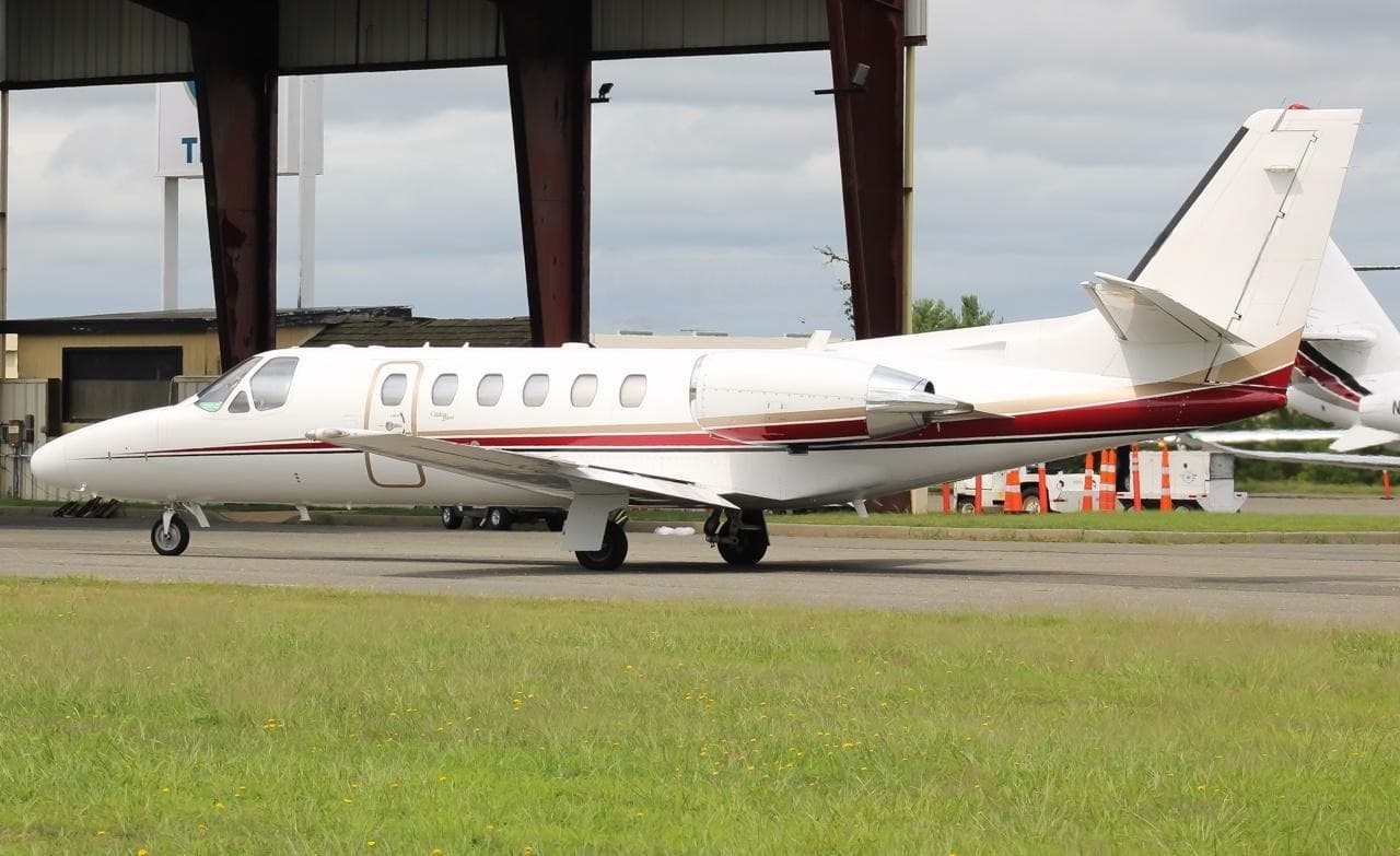 Tue, Nov 3TodayNew YorkKTEB · Teterboro AirportTorontoCYYZ · Lester B. Pearson International AirportCitation Bravo8—On request3NovNew York → TorontoKTEB → CYYZ · TodayCitation Bravo · 8 seatsOn request
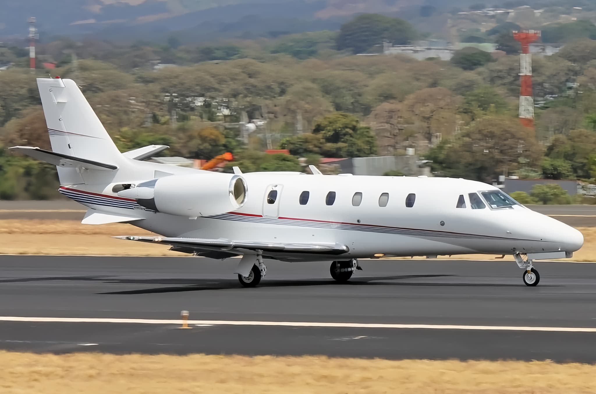 Tue, Nov 3TodayNew YorkKTEB · Teterboro AirportBedfordKBED · Laurence G Hanscom FieldCitation XLS8—$20,7903NovNew York → BedfordKTEB → KBED · TodayCitation XLS · 8 seats$20,790
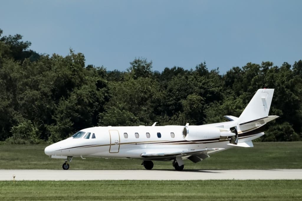 Tue, Nov 3TodayNew YorkKTEB · Teterboro AirportWilmingtonKILG · New Castle AirportCitation XLS9—On request3NovNew York → WilmingtonKTEB → KILG · TodayCitation XLS · 9 seatsOn request
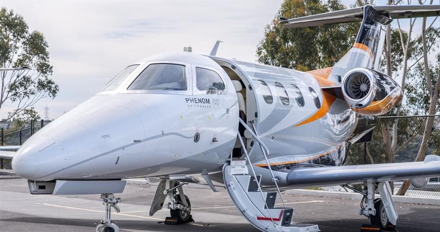 Tue, Nov 3TodayNew YorkKTEB · Teterboro AirportHartfordKBDL · Bradley International AirportPhenom 1006—$4,7853NovNew York → HartfordKTEB → KBDL · TodayPhenom 100 · 6 seats$4,785
 Tue, Nov 3TodayNew YorkKTEB · Teterboro AirportMuskoka District MunicipalityCYQA · Muskoka AirportCitation X8—$13,1853NovNew York → Muskoka District MunicipalityKTEB → CYQA · TodayCitation X · 8 seats$13,185
 Tue, Nov 3TodayNew YorkKTEB · Teterboro AirportPhiladelphiaKPHL · Philadelphia International AirportPhenom 3007—On request3NovNew York → PhiladelphiaKTEB → KPHL · TodayPhenom 300 · 7 seatsOn request
 Tue, Nov 3TodayNew YorkKTEB · Teterboro AirportCincinnatiKLUK · Cincinnati Municipal Airport Lunken FieldPhenom 3007—On request3NovNew York → CincinnatiKTEB → KLUK · TodayPhenom 300 · 7 seatsOn request
 Tue, Nov 3TodayNew YorkKTEB · Teterboro AirportHarrisburgKCXY · Capital City AirportCitation CJ38—On request3NovNew York → HarrisburgKTEB → KCXY · TodayCitation CJ3 · 8 seatsOn request
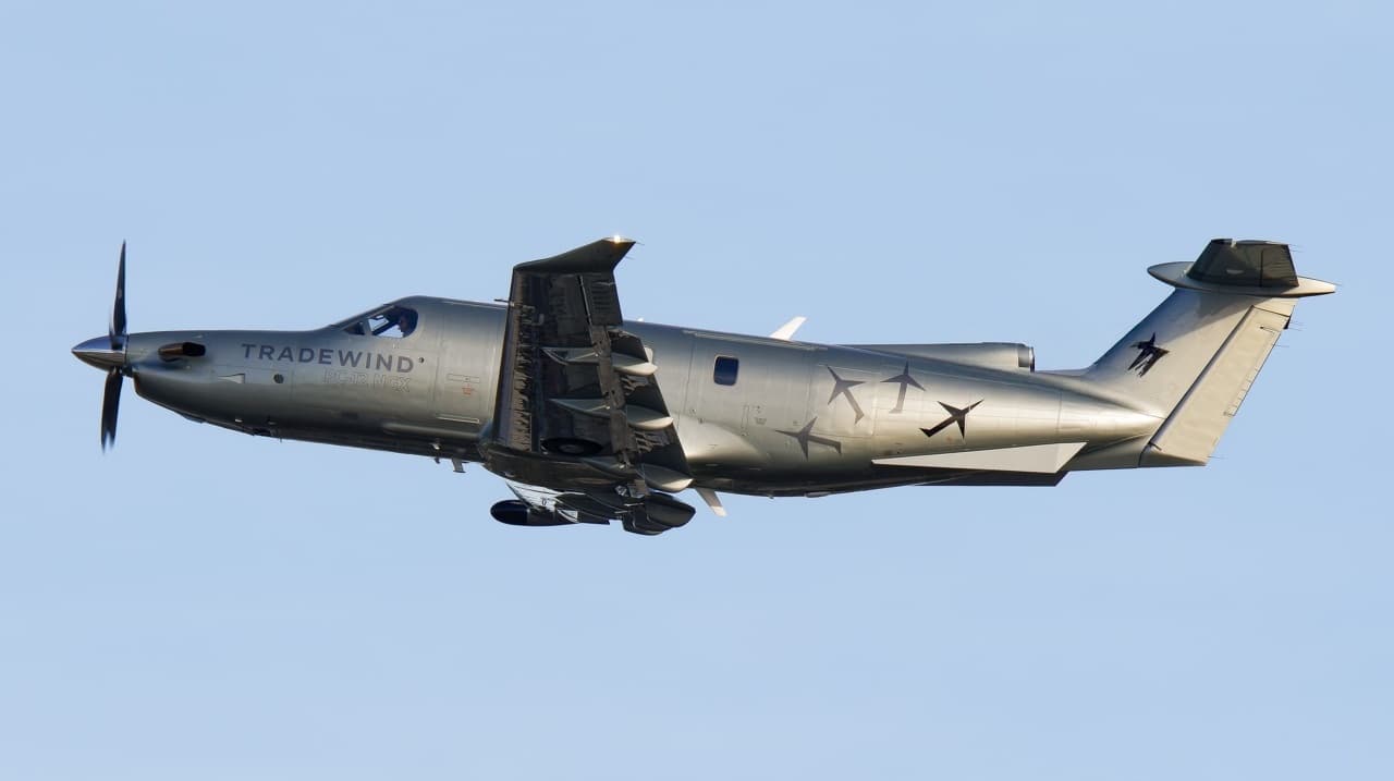 Tue, Nov 3TodayNew YorkKTEB · Teterboro AirportPhiladelphiaKPNE · Northeast Philadelphia AirportPilatus PC-128—On request3NovNew York → PhiladelphiaKTEB → KPNE · TodayPilatus PC-12 · 8 seatsOn request
 KTEB · Teterboro Airport
 CYYZ · Lester B. Pearson International Airport
* Total price incl. 10% service fee, converted to your selected currency. Price subject to operator confirmation.
Empty legs to KTEB
100 arrivals available
 Tue, Nov 3TodayWest Palm BeachKDJT · President Donald J. Trump International AirportNew YorkKTEB · Teterboro AirportFalcon 2000LX EASy9—On request3NovWest Palm Beach → New YorkKDJT → KTEB · TodayFalcon 2000LX EASy · 9 seatsOn request
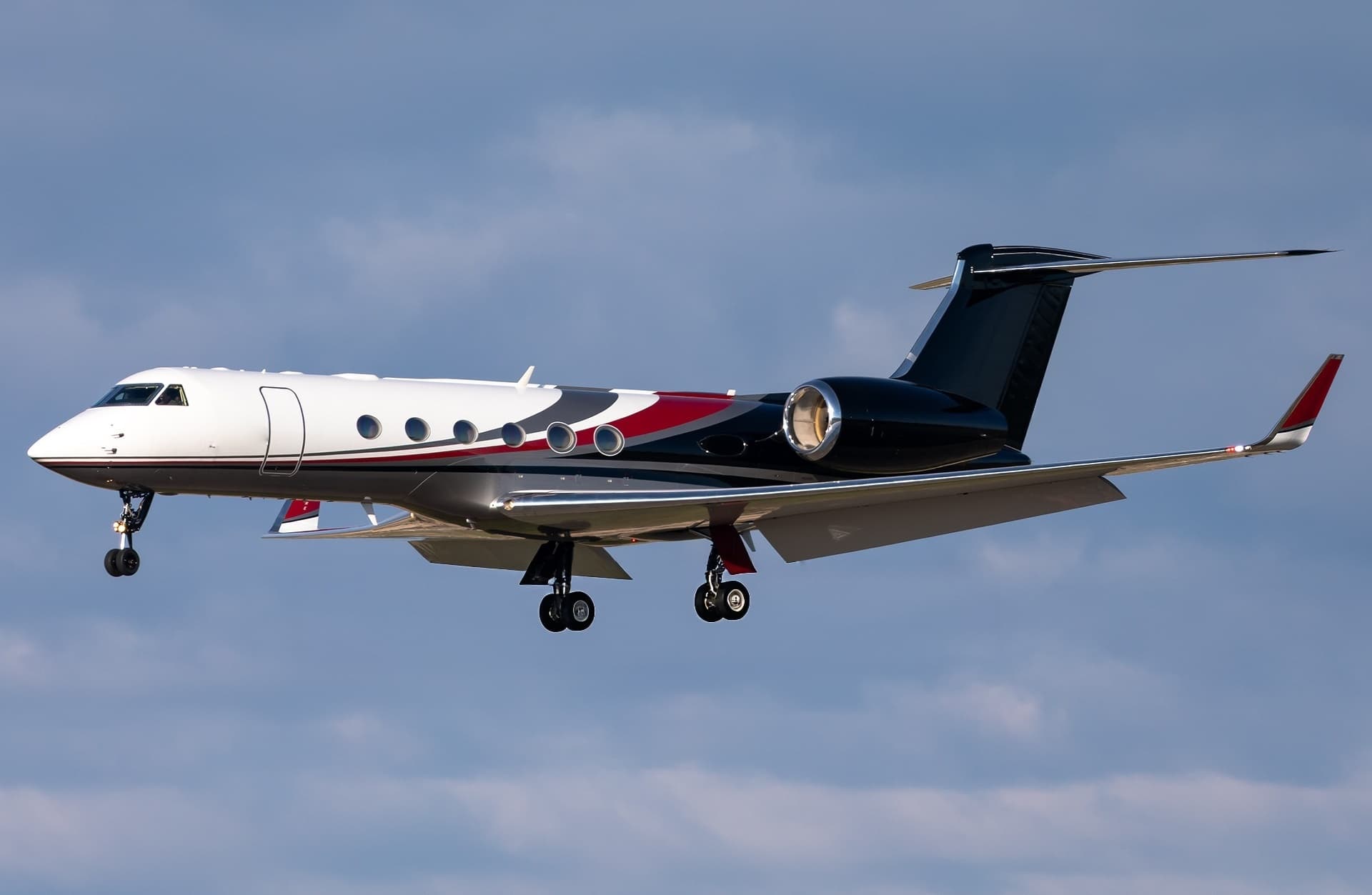 Tue, Nov 3TodaySan DiegoKCRQ · Mc Clellan-Palomar AirportNew YorkKTEB · Teterboro AirportGulfstream GV16—On request3NovSan Diego → New YorkKCRQ → KTEB · TodayGulfstream GV · 16 seatsOn request
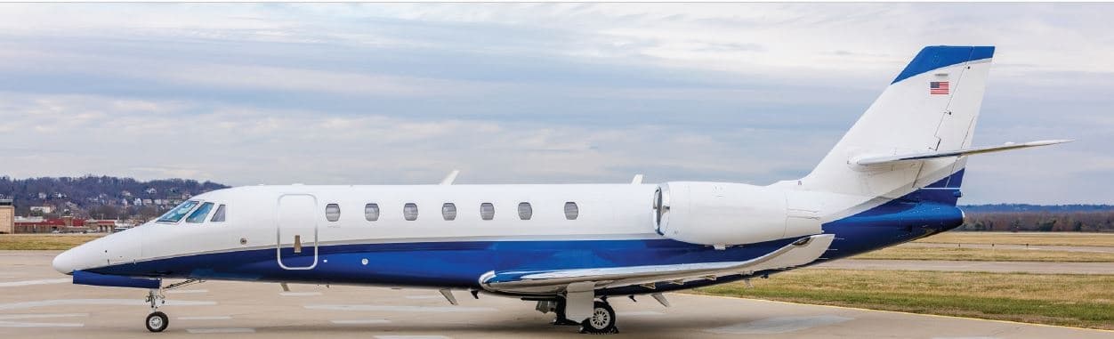 Tue, Nov 3TodayBedfordKBED · Laurence G Hanscom FieldNew YorkKTEB · Teterboro AirportCitation Sovereign+9—On request3NovBedford → New YorkKBED → KTEB · TodayCitation Sovereign+ · 9 seatsOn request
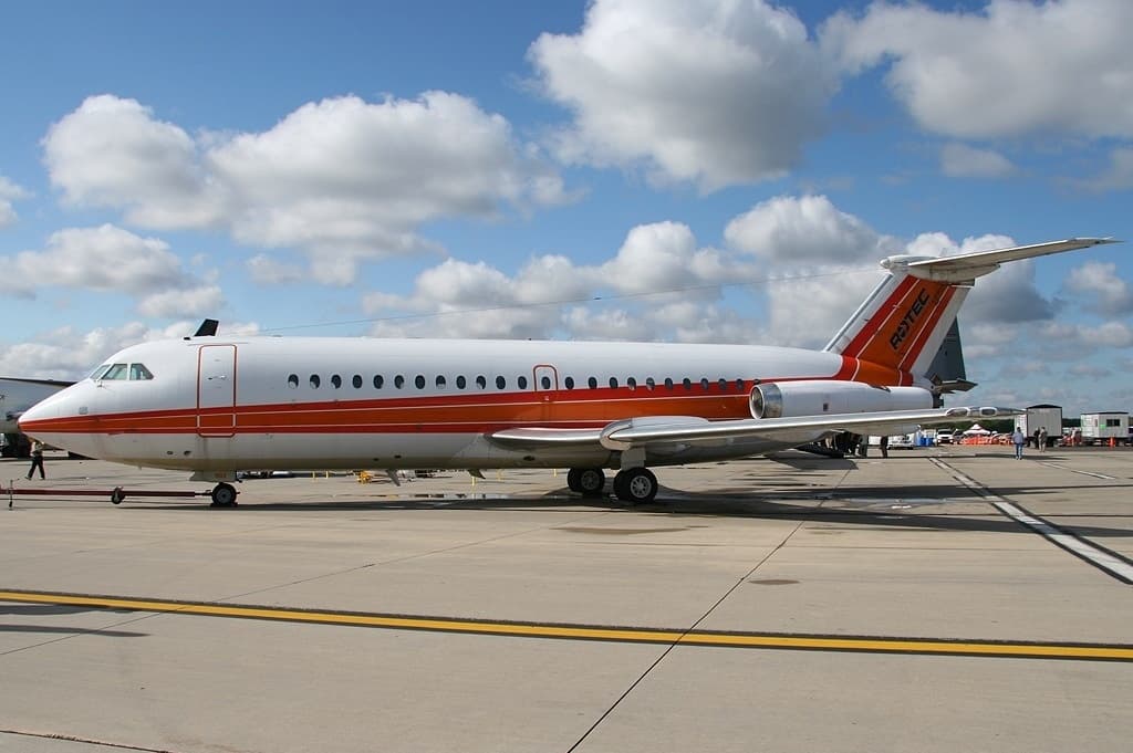 Tue, Nov 3TodayMiamiKOPF · Miami-Opa Locka Executive AirportNew YorkKTEB · Teterboro AirportChallenger 6059—On request3NovMiami → New YorkKOPF → KTEB · TodayChallenger 605 · 9 seatsOn request
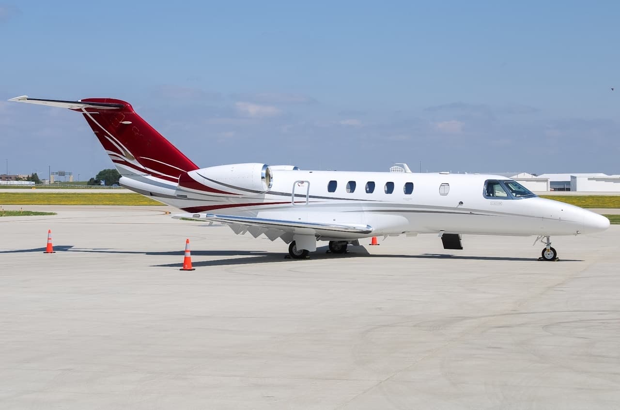 Tue, Nov 3TodayMilwaukeeKMKE · General Mitchell International AirportNew YorkKTEB · Teterboro AirportCitation CJ49—$13,7503NovMilwaukee → New YorkKMKE → KTEB · TodayCitation CJ4 · 9 seats$13,750
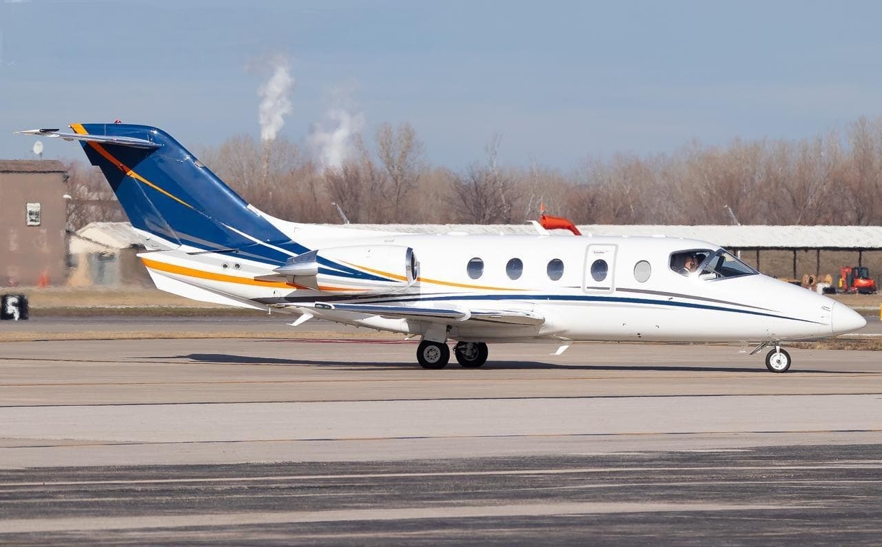 Tue, Nov 3TodayFernandina BeachKFHB · Fernandina Beach Municipal AirportNew YorkKTEB · Teterboro AirportHawker 400XP8—$13,1853NovFernandina Beach → New YorkKFHB → KTEB · TodayHawker 400XP · 8 seats$13,185
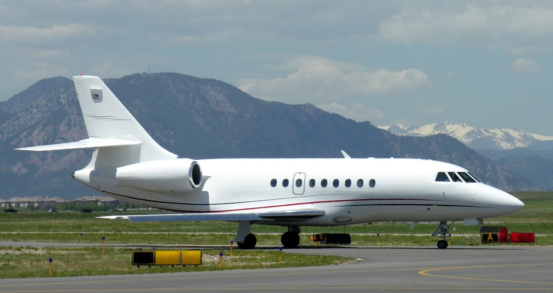 Tue, Nov 3TodayIndianapolisKTYQ · Indianapolis Executive AirportNew YorkKTEB · Teterboro AirportFalcon 200010—$18,3923NovIndianapolis → New YorkKTYQ → KTEB · TodayFalcon 2000 · 10 seats$18,392
 Tue, Nov 3TodayPontiacKPTK · Oakland County International AirportNew YorkKTEB · Teterboro AirportChallenger 3009—On request3NovPontiac → New YorkKPTK → KTEB · TodayChallenger 300 · 9 seatsOn request
 Tue, Nov 3TodayLos AngelesKVNY · Van Nuys AirportNew YorkKTEB · Teterboro AirportChallenger 60112—$41,7453NovLos Angeles → New YorkKVNY → KTEB · TodayChallenger 601 · 12 seats$41,745
* Total price incl. 10% service fee, converted to your selected currency. Price subject to operator confirmation.
Map: Teterboro Airport
View the location of Teterboro – TEB/KTEB. Zoom in to explore the area around the airport.
About the airport
Teterboro Airport (TEB/KTEB) is the key private jet gateway for Teterboro. PrivJet gives you instant access to charter flights and empty legs: fast, discreet and globally connected.
KTEB airport FAQ
Are there any restrictions at Teterboro airport (KTEB) today?
There are currently 16 valid NOTAMs for Teterboro (KTEB). Affected: Obstacle: out of service; DME: unserviceable; Obstacle lights: unserviceable; Services: out of service and 2 more. 5 more NOTAMs start in the coming days. For information only, not for flight planning or operational use. Always rely on an official pre-flight briefing. This list may be incomplete or out of date.
What is the weather at Teterboro airport (KTEB)?
According to the latest weather report for KTEB (METAR, 03 Nov, 01:51 UTC): Good visual conditions (VFR). Wind 6 kt (11 km/h) from southwest (220°), visibility 10 km or more, temperature 12 °C (dew point 4 °C). For information only, not for flight planning. Weather can change quickly; always rely on official reports.
How long are the runways at Teterboro airport (KTEB)?
Teterboro (KTEB) has 2 runways: runway 1/19 with 2,133 m (6,997 ft), asphalt and runway 6/24 with 1,833 m (6,014 ft), asphalt. The longest is 2,133 m.
What are the radio frequencies at Teterboro airport (KTEB)?
Frequencies at KTEB: Tower 119.5 / 125.1 MHz, Ground 121.9 MHz and ATIS 132.025 MHz. For information only. Always rely on the published AIP.
What are the airport codes of Teterboro Airport?
The ICAO code is KTEB and the IATA code is TEB. ICAO codes are used by air traffic control and pilots, e.g. in flight plans; IATA codes appear on tickets and baggage tags.
What is the elevation of KTEB airport?
Teterboro Airport sits at 9 ft (3 m) above sea level. Local time zone: America/New York.
Where do private jets land at Teterboro?
KTEB has 4 private jet terminals or FBOs: Signature Aviation TEB East, Signature Aviation TEB West, Signature Aviation TEB South and Atlantic Aviation TEB. Your flight confirmation says which one your operator uses.
Can I fly to KTEB by private jet?
Whether a private jet can operate into Teterboro Airport depends on runway length, opening hours, customs and immigration rules as well as slot and handling availability, among other things. PrivJet checks this with the operating carrier for every request.
Are there empty legs from or to KTEB?
There are currently 100 empty legs departing from and 100 arriving at Teterboro Airport. Empty legs are repositioning flights at heavily reduced prices; the list is updated several times a day.