Waukesha County Airport (KUES / UES)
Empty legs and charters from Waukesha
KUES airport at a glance
- ICAO code
- KUES
- IATA code
- UES
- City
- Waukesha
- Region
- Wisconsin
- Country
- United States
- Elevation
- 911 ft (278 m)
- Time zone
- America/Chicago (UTC-6)
- Coordinates
- 43.0410° N, 88.2371° W
- Empty legs from
- 34
- Empty legs to
- 44
Weather & airport info KUES
Current weather
Poor visibility, instrument conditions (IFR)observed 03 Nov, 05:35 UTC- Wind
- 12 kt (22 km/h) from south (190°), gusts up to 17 kt
- Visibility
- 10 km or more
- Weather
- Mist
- Clouds
- overcast at 500 ft
- Temperature
- 16 °C (dew point 16 °C)
- Pressure (QNH)
- 1,013 hPa
Original weather report (METAR)
METAR KUES 030535Z AUTO 19012G17KT 150V220 6SM BR OVC005 16/16 A2991 RMK AO2
Forecast (TAF)
- 03 Nov, 06:00–12:00 UTC10 kt (19 km/h) from south (180°), gusts up to 19 kt · visibility 10 km or more · overcast at 600 ft
- 03 Nov, 06:00–10:00 UTCtemporarilyvisibility 6 km · Light rain, mist · overcast at 400 ft
- 03 Nov, 12:00–18:00 UTCfrom14 kt (26 km/h) from south (190°), gusts up to 24 kt · visibility 10 km or more · overcast at 1,300 ft
- 03 Nov, 18:00–01:00 UTCfrom15 kt (28 km/h) from south (190°), gusts up to 26 kt · visibility 10 km or more · Light rain · overcast at 1,000 ft
- 04 Nov, 01:00–06:00 UTCfrom10 kt (19 km/h) from south (170°), gusts up to 20 kt · visibility 6 km · Light rain · overcast at 1,000 ft
Original forecast (TAF)
TAF KUES 030540Z 0306/0406 18010G19KT P6SM OVC006 TEMPO 0306/0310 4SM -RA BR OVC004 FM031200 19014G24KT P6SM OVC013 FM031800 19015G26KT 6SM -RA OVC010 FM040100 17010G20KT 4SM -RA OVC010
Airport
- Elevation
- 911 ft (278 m)
- Sunrise / Sunset
- 06:29 / 16:43 local time
Runways
| Runway | Length | Surface | Lighted |
|---|---|---|---|
| 10/28 | 1,783 m (5,849 ft) | concrete | yes |
| 18/36 | 1,097 m (3,599 ft) | asphalt | yes |
Radio frequencies
- ATIS: 118.875
- Clearance: 128.7
- CTAF: 123.7
- Ground: 121.6
- Tower: 123.7
- UNICOM: 122.95
For information only, not for flight planning. Weather can change quickly; always rely on official reports. Sources: aviationweather.gov (NOAA), OurAirports.
Airport map KUES
Full screen →Runways white, taxiways yellow with designators, closed taxiways and runways per NOTAM in red.
Official charts (FAA)
Cycle 2611, valid until 0901Z 11/26/26
Airport diagram (FAA)
Airport diagram (1)
Instrument approaches (4)
Departure procedures (2)
Minimums (2)
Hot spots (1)
Other (1)
For information only, not for navigation. Always use current official charts and NOTAMs.
Current NOTAMs for KUES(6)
NOTAMs (Notices to Air Missions) announce short-term changes at an airport: closed runways or taxiways, unserviceable approach aids, obstacles, airspace restrictions.
- Out of servicePAPI: unserviceable10/067· until 30 Nov, 18:00 UTC
The Precision Approach Path Indicator (PAPI) for runway 10 is out of service. This system helps pilots maintain the correct glide path to the runway.
Show original text
RWY 10 PAPI U/S
10/067 NOTAMN
Q) KZAU/QLPAS/IV/BO/A/000/999/4302N08814W005
A) KUES
B) 2610291923
C) 2611301800

E) RWY 10 PAPI U/S
- Out of serviceApproach lighting: unserviceable10/066· until 30 Nov, 18:00 UTC
Runway 10 approach lighting out of service
Show original text
RWY 10 ALS U/S
10/066 NOTAMN
Q) KZAU/QLAAS/IV/NBO/A/000/999/4302N08814W005
A) KUES
B) 2610291922
C) 2611301800
E) RWY 10 MEDIUM INTST ALS WITH RAI LGT U/S
- Out of serviceILS: unserviceable10/065· until 30 Nov, 18:00 UTC
The instrument landing system (ILS) for runway 10 at Waukesha County Airport is out of service. The ILS guides aircraft to the runway in poor visibility.
Show original text
NAV ILS RWY 10 U/S
10/065 NOTAMN
Q) KZAU/QICAS/IV/NBO/A/000/999/4302N08814W025
A) KUES
B) 2610291920
C) 2611301800

E) ILS RWY 10 U/S
- Out of serviceObstacle10/046· until 17 Jan, 23:59 UTC
A tower light, with its top at 1240 feet above sea level and 260 feet above ground, is out of service 7.8 nautical miles west of Waukesha County Airport.
Show original text
OBST TOWER LGT (ASR 1048005) 430054.00N0882440.00W (7.8NM W UES) 1240FT (260FT AGL) U/S
- Out of serviceInstrument approach procedure: not available3570/26· until 10 Jun, 10:17 UTC (estimated)
The Instrument Approach Procedures (IAP) for the Instrument Landing System or Localizer Runway 10, Amendment 4, and the RNAV (GPS) Runway 10, Amendment 1, at Waukesha County Airport are not available.
Show original text
IAP WAUKESHA COUNTY, WAUKESHA, WI. ILS OR LOC RWY 10, AMDT 4... RNAV (GPS) RWY 10, AMDT 1... PROCEDURE NA. 2610291017-2706101017EST
Q) KZAU/QPIAU/I/NBO/A/000/999/4302N08814W005
A) KUES
B) 2610281039
C) 2706091039EST
E) UES WAUKESHA COUNTY, WAUKESHA, WI.
ILS OR LOC RWY 10, AMDT 4...
RNAV (GPS) RWY 10, AMDT 1...
PROCEDURE NA.
- Out of serviceStandard instrument departure: not available2319/26· until 29 Oct, 18:00 UTC (estimated)
The obstacle departure procedure (ODP) for Waukesha County is not available. All other published data remains as is.
Show original text
ODP WAUKESHA COUNTY, WAUKESHA, WI. TAKEOFF MINIMUMS AND (OBSTACLE) DEPARTURE PROCEDURES AMDT 7... DEPARTURE PROCEDURE NA. ALL OTHER DATA REMAINS AS PUBLISHED. 2610290500-2810291800EST
Q) KZAU/QPDAU/I/NBO/A/000/999/4302N08814W005
A) KUES
B) 2610261349
C) 2706071349EST
E) UES WAUKESHA COUNTY, WAUKESHA, WI.
TAKEOFF MINIMUMS AND (OBSTACLE) DEPARTURE PROCEDURES AMDT 7...
DEPARTURE PROCEDURE NA.
ALL OTHER DATA REMAINS AS PUBLISHED.
For information only, not for flight planning or operational use. Always rely on an official pre-flight briefing. This list may be incomplete or out of date. Explanations and expanded abbreviations are generated automatically. The original text is authoritative. Source: FAA NOTAM Management Service (SWIM).
Private jet traffic in Waukesha County Airport (last 30 days)
- Arrivals
- 450
- Departures
- 434
- Different jets
- 201
Most frequent origins: Austin Straubel International Airport (15), Southern Wisconsin Regional Airport (13), Dane County Regional Truax Field (12), General Mitchell International Airport (9), St Petersburg Clearwater International Airport (9).
Most frequent destinations: Austin Straubel International Airport (18), Chicago Executive Airport (11), General Mitchell International Airport (10), Naples Municipal Airport (10), St Petersburg Clearwater International Airport (9).
Most common aircraft types: Cessna Citation II/Bravo (84), Cessna Citation CJ4 (82), Cessna Citation Excel/XLS (66), Beechcraft King Air 200/250 (46), Hawker 800/900 (46).
Monday is the busiest day.
Our own analysis of public ADS-B signals from business jets. Not every flight is received, and jets with a removal request are excluded.
Charter operators based here
Operators with a base at this airport.
- Executive Jet ManagementWhite Plains (Westchester County) (KHPN) · Light jet, Midsize jet, Super midsize jet
- Jet OutFort Worth (Meacham International) (KFTW) · Light jet
- Spring City AviationTurboprop, Light jet, Midsize jet
Empty legs from KUES
34 departures available
- Tue, Nov 3TodayWaukeshaKUES · Waukesha County AirportAberdeenKABR · Aberdeen Regional AirportCessna Citation CJ48—On request3NovWaukesha → AberdeenKUES → KABR · TodayCessna Citation CJ4 · 8 seatsOn request
- Wed, Nov 4TomorrowWaukeshaKUES · Waukesha County AirportDuluthKDLH · Duluth International AirportCessna Citation CJ48—On request4NovWaukesha → DuluthKUES → KDLH · TomorrowCessna Citation CJ4 · 8 seatsOn request
- Thu, Nov 5in 2 daysWaukeshaKUES · Waukesha County AirportFargoKFAR · Hector International AirportCessna Citation CJ48—On request5NovWaukesha → FargoKUES → KFAR · in 2 daysCessna Citation CJ4 · 8 seatsOn request
- Thu, Nov 5in 2 daysWaukeshaKUES · Waukesha County AirportCincinnatiKLUK · Cincinnati Municipal Airport Lunken FieldCessna Citation CJ48—On request5NovWaukesha → CincinnatiKUES → KLUK · in 2 daysCessna Citation CJ4 · 8 seatsOn request
- Thu, Nov 5in 2 daysWaukeshaKUES · Waukesha County AirportKansas CityKMKC · Charles B. Wheeler Downtown AirportCessna Citation CJ48—On request5NovWaukesha → Kansas CityKUES → KMKC · in 2 daysCessna Citation CJ4 · 8 seatsOn request
- Fri, Nov 6in 3 daysWaukeshaKUES · Waukesha County AirportBelmar/FarmingdaleKBLM · Monmouth Executive AirportCessna Citation CJ48—On request6NovWaukesha → Belmar/FarmingdaleKUES → KBLM · in 3 daysCessna Citation CJ4 · 8 seatsOn request
- Fri, Nov 6in 3 daysWaukeshaKUES · Waukesha County AirportBelmar/FarmingdaleKBLM · Monmouth Executive AirportCessna Citation CJ4 Gen28—$18,7006NovWaukesha → Belmar/FarmingdaleKUES → KBLM · in 3 daysCessna Citation CJ4 Gen2 · 8 seats$18,700
- Sun, Nov 8in 5 daysWaukeshaKUES · Waukesha County AirportEau ClaireKEAU · Chippewa Valley Regional AirportCessna Citation CJ48—On request8NovWaukesha → Eau ClaireKUES → KEAU · in 5 daysCessna Citation CJ4 · 8 seatsOn request
- Sun, Nov 810:15WaukeshaKUES · Waukesha County AirportNew OrleansKMSY · Louis Armstrong New Orleans International AirportCessna Citation CJ48—$17,8208NovWaukesha → New OrleansKUES → KMSY · 10:15Cessna Citation CJ4 · 8 seats$17,820
 KUES · Waukesha County Airport
* Total price incl. 10% service fee, converted to your selected currency. Price subject to operator confirmation.
Empty legs to KUES
44 arrivals available
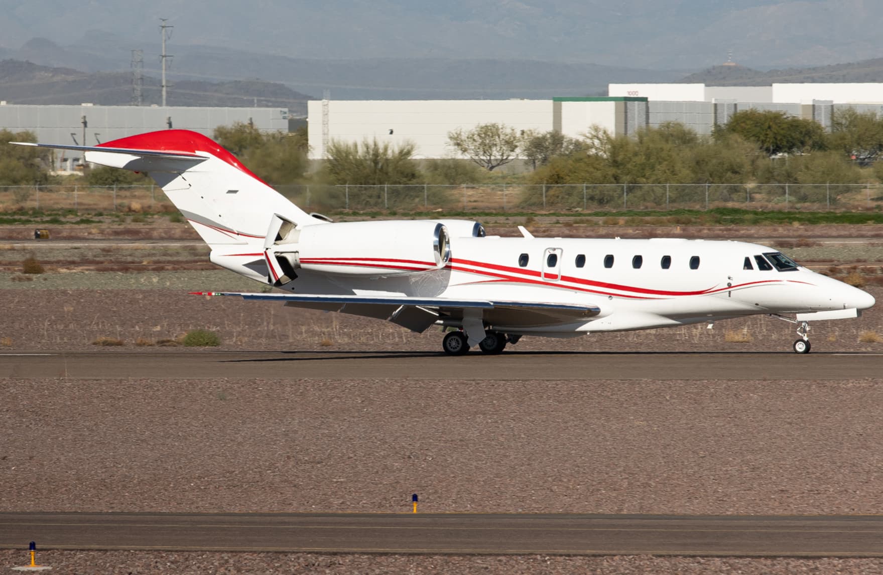 Tue, Nov 3TodayBar HarborKBHB · Hancock County-Bar Harbor AirportWaukeshaKUES · Waukesha County AirportCitation X8—On request3NovBar Harbor → WaukeshaKBHB → KUES · TodayCitation X · 8 seatsOn request
- Tue, Nov 3TodayScottsdaleKSDL · Scottsdale AirportWaukeshaKUES · Waukesha County AirportCessna Citation CJ48—On request3NovScottsdale → WaukeshaKSDL → KUES · TodayCessna Citation CJ4 · 8 seatsOn request
- Tue, Nov 3TodayLexingtonKLEX · Blue Grass AirportWaukeshaKUES · Waukesha County AirportCessna Citation CJ48—On request3NovLexington → WaukeshaKLEX → KUES · TodayCessna Citation CJ4 · 8 seatsOn request
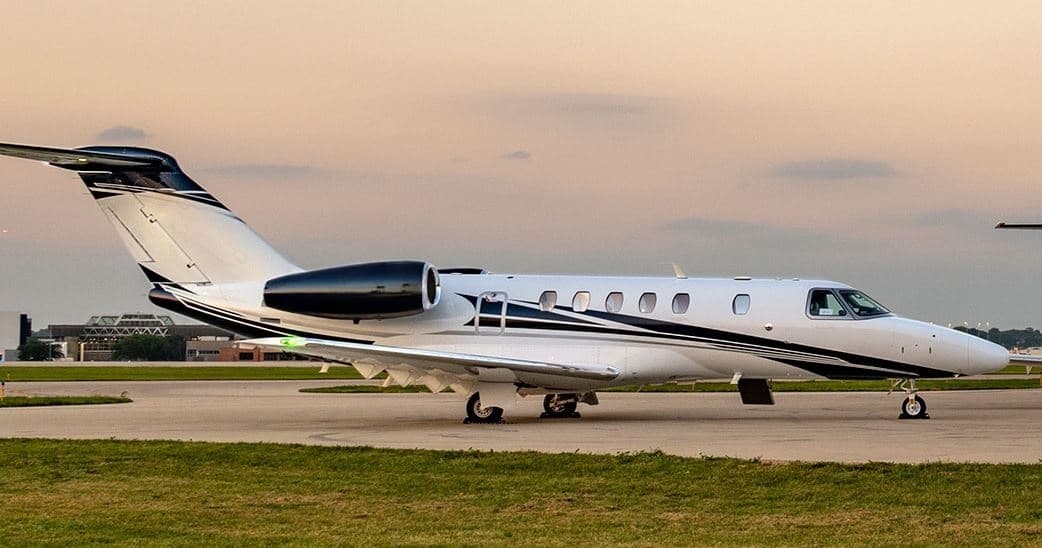 Wed, Nov 4TomorrowSedonaKSEZ · Sedona AirportWaukeshaKUES · Waukesha County AirportCitation CJ49—$19,1184NovSedona → WaukeshaKSEZ → KUES · TomorrowCitation CJ4 · 9 seats$19,118
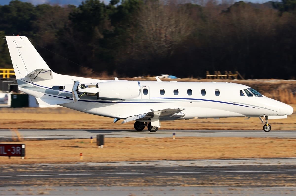 Wed, Nov 4TomorrowZelienopleKPJC · Zelienople Municipal AirportWaukeshaKUES · Waukesha County AirportCitation XLS8—$10,5484NovZelienople → WaukeshaKPJC → KUES · TomorrowCitation XLS · 8 seats$10,548
- Wed, Nov 4TomorrowSedonaKSEZ · Sedona AirportWaukeshaKUES · Waukesha County AirportCessna Citation CJ4 Gen28—$21,3404NovSedona → WaukeshaKSEZ → KUES · TomorrowCessna Citation CJ4 Gen2 · 8 seats$21,340
- Thu, Nov 5in 2 daysRaleigh/DurhamKRDU · Raleigh Durham International AirportWaukeshaKUES · Waukesha County AirportCessna Citation CJ48—On request5NovRaleigh/Durham → WaukeshaKRDU → KUES · in 2 daysCessna Citation CJ4 · 8 seatsOn request
- Thu, Nov 5in 2 daysKalamazooKAZO · Kalamazoo Battle Creek International AirportWaukeshaKUES · Waukesha County AirportCessna Citation CJ48—On request5NovKalamazoo → WaukeshaKAZO → KUES · in 2 daysCessna Citation CJ4 · 8 seatsOn request
- Thu, Nov 511:45NantucketKACK · Nantucket Memorial AirportWaukeshaKUES · Waukesha County AirportCessna Citation CJ48—$17,7105NovNantucket → WaukeshaKACK → KUES · 11:45Cessna Citation CJ4 · 8 seats$17,710
* Total price incl. 10% service fee, converted to your selected currency. Price subject to operator confirmation.
Map: Waukesha Airport
View the location of Waukesha – UES/KUES. Zoom in to explore the area around the airport.
About the airport
Waukesha County Airport (UES/KUES) is the key private jet gateway for Waukesha. PrivJet gives you instant access to charter flights and empty legs: fast, discreet and globally connected.
KUES airport FAQ
Are there any restrictions at Waukesha airport (KUES) today?
There are currently 6 valid NOTAMs for Waukesha (KUES). Affected: PAPI: unserviceable; Approach lighting: unserviceable; ILS: unserviceable; Obstacle: out of service and 2 more. For information only, not for flight planning or operational use. Always rely on an official pre-flight briefing. This list may be incomplete or out of date.
What is the weather at Waukesha airport (KUES)?
According to the latest weather report for KUES (METAR, 03 Nov, 05:35 UTC): Poor visibility, instrument conditions (IFR). Wind 12 kt (22 km/h) from south (190°), gusts up to 17 kt, visibility 10 km or more, temperature 16 °C (dew point 16 °C). Mist. For information only, not for flight planning. Weather can change quickly; always rely on official reports.
How long are the runways at Waukesha airport (KUES)?
Waukesha (KUES) has 2 runways: runway 10/28 with 1,783 m (5,849 ft), concrete and runway 18/36 with 1,097 m (3,599 ft), asphalt. The longest is 1,783 m.
What are the radio frequencies at Waukesha airport (KUES)?
Frequencies at KUES: Tower 123.7 MHz, Ground 121.6 MHz and ATIS 118.875 MHz. For information only. Always rely on the published AIP.
What are the airport codes of Waukesha County Airport?
The ICAO code is KUES and the IATA code is UES. ICAO codes are used by air traffic control and pilots, e.g. in flight plans; IATA codes appear on tickets and baggage tags.
What is the elevation of KUES airport?
Waukesha County Airport sits at 911 ft (278 m) above sea level. Local time zone: America/Chicago.
Can I fly to KUES by private jet?
Whether a private jet can operate into Waukesha County Airport depends on runway length, opening hours, customs and immigration rules as well as slot and handling availability, among other things. PrivJet checks this with the operating carrier for every request.
Are there empty legs from or to KUES?
There are currently 34 empty legs departing from and 44 arriving at Waukesha County Airport. Empty legs are repositioning flights at heavily reduced prices; the list is updated several times a day.