Istanbul Ataturk Airport (LTBA / ISL)
Empty legs and charters from Istanbul
LTBA airport at a glance
- ICAO code
- LTBA
- IATA code
- ISL
- City
- Istanbul
- Region
- Istanbul
- Country
- Türkiye
- Elevation
- 163 ft (50 m)
- Time zone
- Europe/Istanbul (UTC+3)
- Coordinates
- 40.9769° N, 28.8146° E
- Empty legs from
- 17
- Empty legs to
- 17
Private jet terminal & FBOs at Istanbul Ataturk
- Atatürk Airport General Aviation Terminal (Genel Havacılık Terminali)Atatürk Airport General Aviation Terminal, 34295 Sefaköy, Istanbul
Weather & airport info LTBA
Current weather
Marginal visual conditions (MVFR)observed 02 Nov, 23:20 UTC- Wind
- 7 kt (13 km/h) from east (90°)
- Visibility
- 10 km or more
- Clouds
- broken clouds at 3,000 ft, broken clouds at 8,000 ft
- Temperature
- 16 °C (dew point 16 °C)
- Pressure (QNH)
- 1,015 hPa
Original weather report (METAR)
METAR LTBA 022320Z 09007KT 9999 BKN030 BKN080 16/16 Q1015 RMK RWY23 11004KT 080V140
Forecast (TAF)
- 03 Nov, 00:00–06:00 UTC5 kt (9 km/h) from east (100°) · visibility 10 km or more · broken clouds at 3,000 ft, broken clouds at 8,000 ft
- 03 Nov, 00:00–03:00 UTCtemporarilyvisibility 3 km · Mist · broken clouds at 400 ft, broken clouds at 2,000 ft
- 03 Nov, 03:00–06:00 UTCtemporarily, 30 % probabilityvisibility 1.2 km · Patches of fog · broken clouds at 200 ft, broken clouds at 2,000 ft
- 03 Nov, 06:00–08:00 UTCbecoming5 kt (9 km/h) from east (100°) · visibility 10 km or more · scattered clouds at 3,500 ft, broken clouds at 9,000 ft
- 03 Nov, 08:00–00:00 UTCbecoming5 kt (9 km/h) from east (100°) · visibility 10 km or more · Light rain showers · scattered clouds at 3,500 ft, broken clouds at 9,000 ft
Original forecast (TAF)
TAF LTBA 022240Z 0300/0324 10005KT 9999 BKN030 BKN080 TEMPO 0300/0303 2800 BR BKN004 BKN020 PROB30 TEMPO 0303/0306 1200 BCFG BKN002 BKN020 BECMG 0306/0308 SCT035 BKN090 BECMG 0308/0311 -SHRA PROB30 TEMPO 0313/0317 4000 SHRA SCT003 FEW020CB BKN030
Airport
- Elevation
- 163 ft (50 m)
- Sunrise / Sunset
- 07:37 / 17:59 local time
Runways
| Runway | Length | Surface | Lighted |
|---|---|---|---|
| 05/23 | 2,600 m (8,530 ft) | asphalt | yes |
Radio frequencies
- Approach: 120.5
- ATIS: 128.2
- Clearance: 121.7
- Ground: 121.8
- Tower: 118.1
For information only, not for flight planning. Weather can change quickly; always rely on official reports. Sources: aviationweather.gov (NOAA), OurAirports.
Airport map LTBA
Full screen →Runways white, taxiways yellow with designators, closed taxiways and runways per NOTAM in red.
Official charts
Aerodrome, approach and ground charts are published by the national air navigation service in its AIP:
DHMİ AIP Türkiye →For information only, not for navigation. Always use current official charts and NOTAMs.
Current NOTAMs for LTBA(2)
NOTAMs (Notices to Air Missions) announce short-term changes at an airport: closed runways or taxiways, unserviceable approach aids, obstacles, airspace restrictions.
- Out of serviceAerodromeD2513/26· until 29 Jan, 07:30 UTC
Aircraft nitrogen service is not available.
Show original text
ACFT NITROGEN SERVICE NOT AVBL.
D2513/26 NOTAMR D2055/26
 Q) LTBB/QFAXX/IV/NBO/A /000/999/4059N02849E005
 A) LTBA B) 2610300728 C) 2701290730
 E) ACFT NITROGEN SERVICE NOT AVBL.
- NoticeRunway: usable for length and widthB3906/26· until 01 Dec, 14:00 UTC
The runway end safety area (RESA) for threshold 23 is only available as 60 meters by 100 meters due to an obstacle. The RESA is a safety area at the end of the runway.
Show original text
THR 23 RESA AVBL 60M X 100M DUE TO OBST. REF AIP AD 2.12 LTBA
B3906/26 NOTAMN
 Q) LTBB/QMRLL/IV/NBO/A /000/999/4059N02849E005
 A) LTBA B) 2610011100 C) 2612011400
 E) THR 23 RESA AVBL 60M X 100M DUE TO OBST.
 REF AIP AD 2.12 LTBA
For information only, not for flight planning or operational use. Always rely on an official pre-flight briefing. This list may be incomplete or out of date. Explanations and expanded abbreviations are generated automatically. The original text is authoritative. Source: FAA NOTAM Management Service (SWIM).
Private jet traffic in Ataturk International Airport (last 30 days)
- Arrivals
- 609
- Departures
- 485
- Different jets
- 303
Most frequent origins: Ercan International Airport (22), Antalya International Airport (14), Al Maktoum International Airport (13), Eleftherios Venizelos International Airport (13), Paris-Le Bourget Airport (12).
Most frequent destinations: Ercan International Airport (26), Nice-Cote d'Azur Airport (15), London Luton Airport (14), Paris-Le Bourget Airport (11), Istanbul Airport (10).
Most common aircraft types: Hawker 800/900 (130), Gulfstream G450/GIV (124), Bombardier Challenger 600/650 (118), Bombardier Challenger 350/3500 (76), Bombardier Global 6000/6500 (74).
Sunday is the busiest day.
Our own analysis of public ADS-B signals from business jets. Not every flight is received, and jets with a removal request are excluded.
Charter operators based here
Operators with a base at this airport.
- Luxaviation UKLondon (Luton) (EGGW) · Light jet, Midsize jet, Super midsize jet
- Redstar AviationLight jet, Super midsize jet, Helicopter
- Genel HavacilikLight jet, Midsize jet, Super midsize jet
- JetGlobeAnkara (Esenboga) (LTAC) · Midsize jet, Super midsize jet, Heavy jet
- Bon AirTurboprop, Light jet, Midsize jet
- Hyperion AviationDubai (Al Maktoum International) (OMDW) · Midsize jet, Super midsize jet, Heavy jet
- Be Aero HavacılıkLight jet, Super midsize jet, Heavy jet
- Bikini JetSuper midsize jet, Heavy jet
- Skyline AviationAnkara (Esenboga) (LTAC) · Super midsize jet, Helicopter
- SetairTurboprop, Heavy jet, Helicopter
- Alfa Jet AviationMidsize jet, Heavy jet
- Swan AviationSuper midsize jet, Heavy jet
- Vatanjet HavacilikHeavy jet
- CKD AviationHeavy jet
- Gayo AviationDubai (Al Maktoum International) (OMDW) · Midsize jet, Super midsize jet
- Korfez HavacilikHelicopter
- MC AviationMidsize jet, Heavy jet
- PanJetAnkara (Esenboga) (LTAC) · Light jet, Super midsize jet
- Plures JetLight jet, Super midsize jet
- Quattro Jet HavacilikLight jet, Heavy jet
- Sarp AirEskisehir (Anadolu) (LTBY) · Super midsize jet, Helicopter
- Ahu HavacilikLight jet
- Azta JetHeavy jet
- Fiba AirSuper midsize jet
- Guven AirSuper midsize jet
- IC Ictas HavacilikSuper midsize jet
- Luks AviationSuper midsize jet
- Sancak AirHelicopter
- Sierra AviationHeavy jet
- Super AirSuper midsize jet
Empty legs from LTBA
17 departures available
 Tue, Nov 3TodayIstanbulLTBA · Ataturk International AirportTokyoRJTT · Tokyo International AirportGulfstream G650ER10—On request3NovIstanbul → TokyoLTBA → RJTT · TodayGulfstream G650ER · 10 seatsOn request
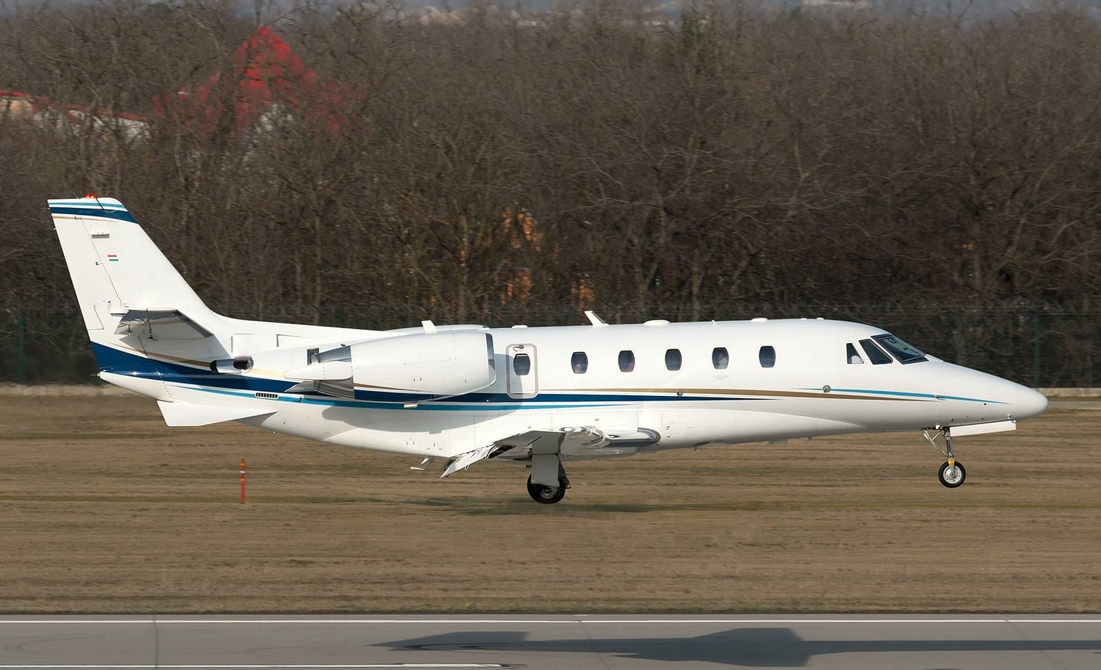 Tue, Nov 3TodayIstanbulLTBA · Ataturk International AirportBelgradeLYBE · Belgrade Nikola Tesla AirportCitation XLS+8—On request3NovIstanbul → BelgradeLTBA → LYBE · TodayCitation XLS+ · 8 seatsOn request
- Tue, Nov 3TodayIstanbulLTBA · Ataturk International AirportAswanHESN · Aswan International AirportBombardier Challenger 35092h 54m€11,5023NovIstanbul → AswanLTBA → HESN · TodayBombardier Challenger 350 · 9 seats · 2h 54m€11,502
 Wed, Nov 4TomorrowIstanbulLTBA · Ataturk International AirportLuxorHELX · Luxor International AirportGlobal 800014—On request4NovIstanbul → LuxorLTBA → HELX · TomorrowGlobal 8000 · 14 seatsOn request
- Wed, Nov 4TomorrowIstanbulLTBA · Ataturk International AirportParisLFPB · Paris-Le Bourget AirportGlobal 800014—On request4NovIstanbul → ParisLTBA → LFPB · TomorrowGlobal 8000 · 14 seatsOn request
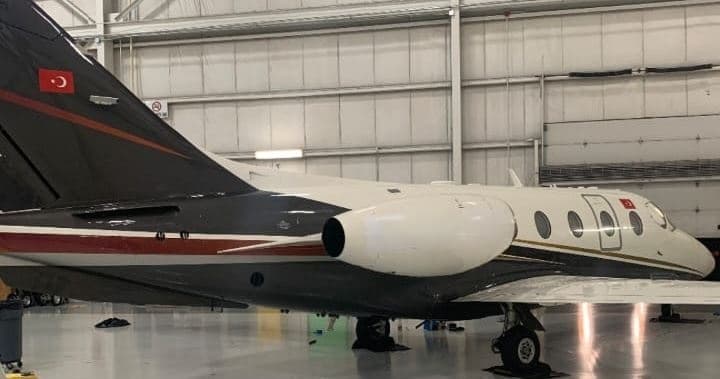 Thu, Nov 5in 2 daysIstanbulLTBA · Ataturk International AirportMadridLEMD · Madrid Barajas International AirportNextant 400XTi7—On request5NovIstanbul → MadridLTBA → LEMD · in 2 daysNextant 400XTi · 7 seatsOn request
- Thu, Nov 5in 2 daysIstanbulLTBA · Ataturk International AirportBucharestLRBS · Baneasa International AirportGulfstream G20010—€6,2925NovIstanbul → BucharestLTBA → LRBS · in 2 daysGulfstream G200 · 10 seats€6,292
- Thu, Nov 5in 2 daysIstanbulLTBA · Ataturk International AirportKuwait CityOKKK · Kuwait International AirportBombardier Challenger 35093h 45m€14,7835NovIstanbul → Kuwait CityLTBA → OKKK · in 2 daysBombardier Challenger 350 · 9 seats · 3h 45m€14,783
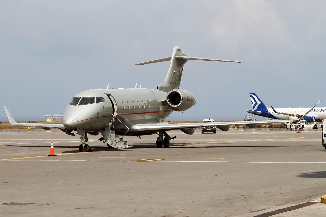 Fri, Nov 6in 3 daysIstanbulLTBA · Ataturk International AirportTbilisiUGTB · Tbilisi International AirportChallenger 3508—On request6NovIstanbul → TbilisiLTBA → UGTB · in 3 daysChallenger 350 · 8 seatsOn request
 LTBA · Ataturk International Airport
 RJTT · Tokyo International Airport
 LYBE · Belgrade Nikola Tesla Airport
 HESN · Aswan International Airport
 LFPB · Paris-Le Bourget Airport
 LEMD · Madrid Barajas International Airport
 LRBS · Baneasa International Airport
 OKKK · Kuwait International Airport
 UGTB · Tbilisi International Airport
* Total price incl. 10% service fee, converted to your selected currency. Price subject to operator confirmation.
Empty legs to LTBA
17 arrivals available
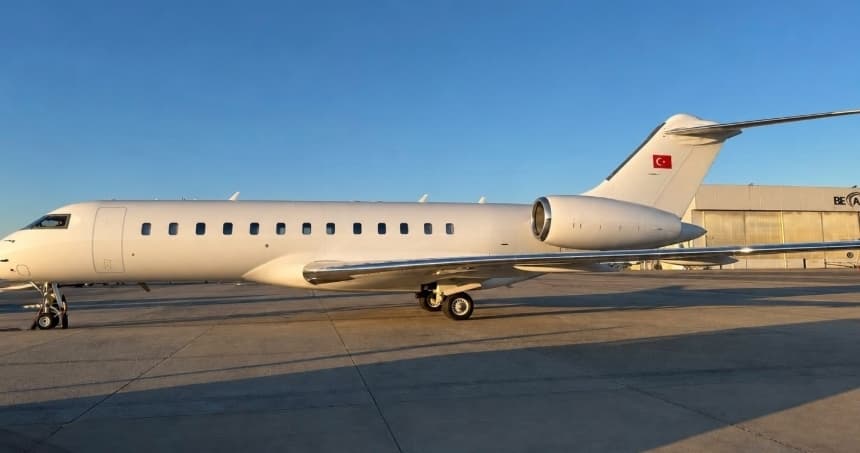 Tue, Nov 3TodayKuala LumpurWMSA · Sultan Abdul Aziz Shah International AirportIstanbulLTBA · Ataturk International AirportGlobal Express12—On request3NovKuala Lumpur → IstanbulWMSA → LTBA · TodayGlobal Express · 12 seatsOn request
- Tue, Nov 317:15ViennaLOWW · SchwechatIstanbulLTBA · AtaturkChallenger 350—2h 7mOn request3NovVienna → IstanbulLOWW → LTBA · 17:15Challenger 350 · 2h 7mOn request
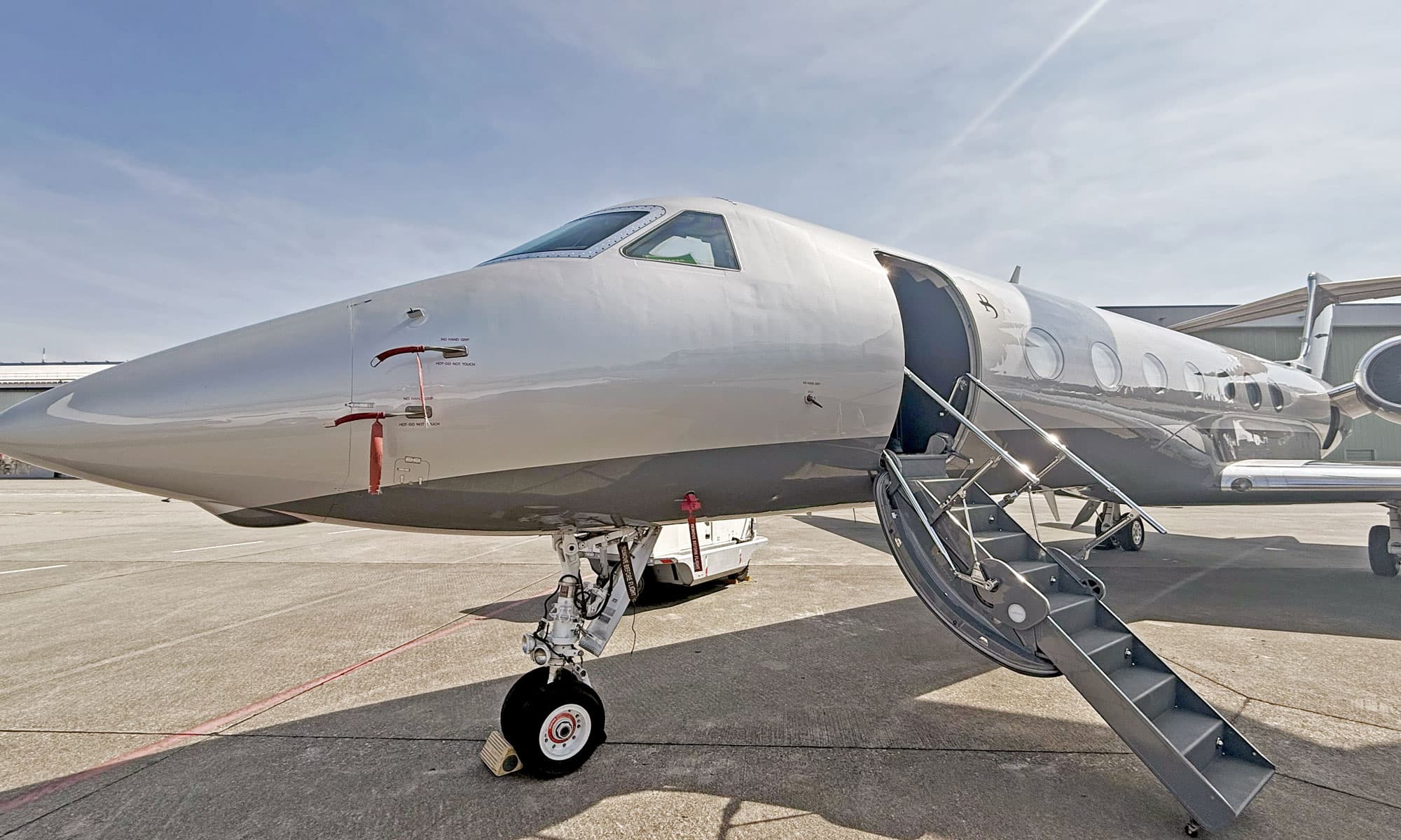 Tue, Nov 322:40BucharestLROP · Henri Coanda International AirportIstanbulLTBA · Atatürk International AirportGulfstream G55016—€11,4403NovBucharest → IstanbulLROP → LTBA · 22:40Gulfstream G550 · 16 seats€11,440
- Tue, Nov 3TodayBatumiUGSB · Batumi International AirportIstanbulLTBA · Ataturk International AirportEmbraer Legacy 650131h 39m€8,2093NovBatumi → IstanbulUGSB → LTBA · TodayEmbraer Legacy 650 · 13 seats · 1h 39m€8,209
- Wed, Nov 4TomorrowOtopeniLROP · Bucharest Henri Coandă International AirportBakırköyLTBA · İstanbul Atatürk AirportGulfstream G55016—On request4NovOtopeni → BakırköyLROP → LTBA · TomorrowGulfstream G550 · 16 seatsOn request
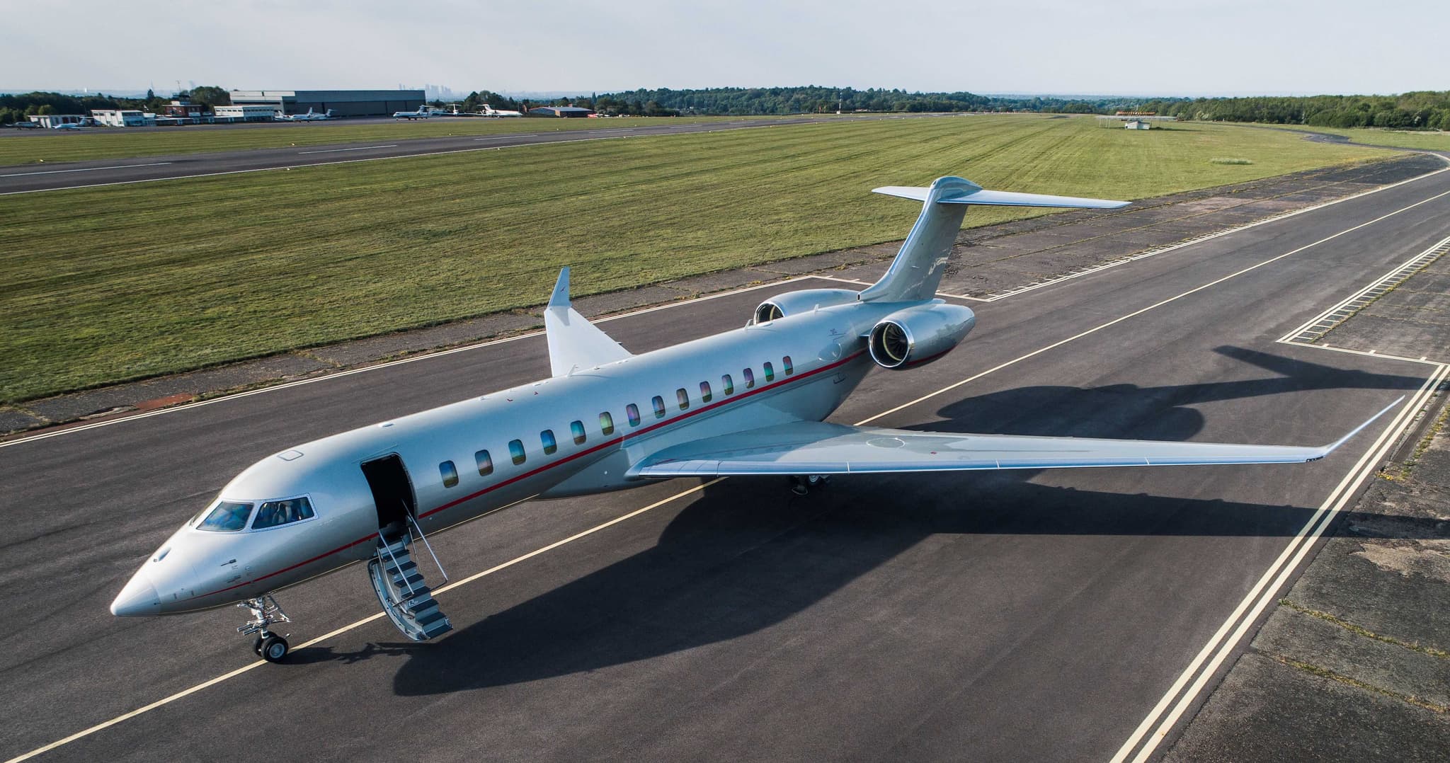 Thu, Nov 5in 2 daysDubaiOMDW · Al Maktoum International AirportIstanbulLTBA · Ataturk International AirportGlobal 800014—On request5NovDubai → IstanbulOMDW → LTBA · in 2 daysGlobal 8000 · 14 seatsOn request
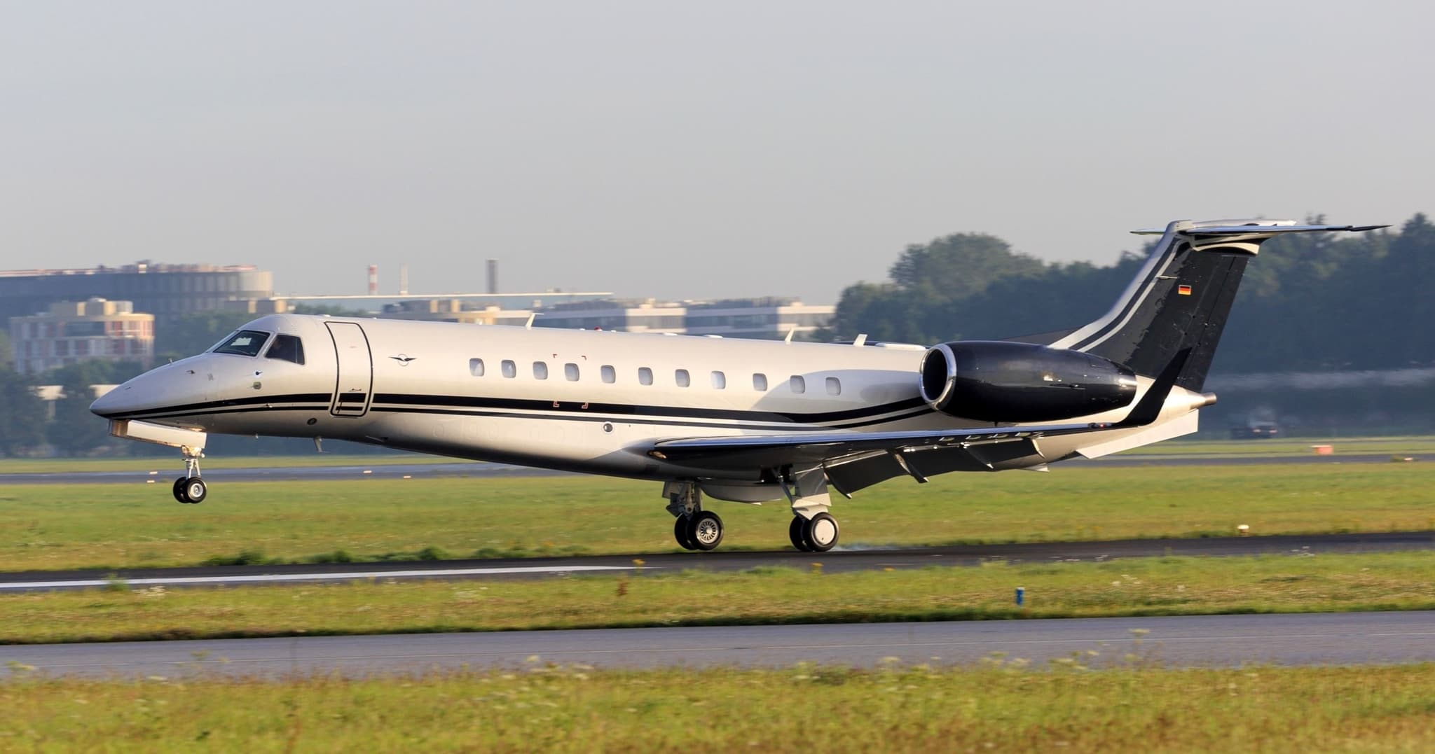 Thu, Nov 5in 2 daysBatumiUGSB · Batumi International AirportIstanbulLTBA · Ataturk International AirportLegacy 65013—On request5NovBatumi → IstanbulUGSB → LTBA · in 2 daysLegacy 650 · 13 seatsOn request
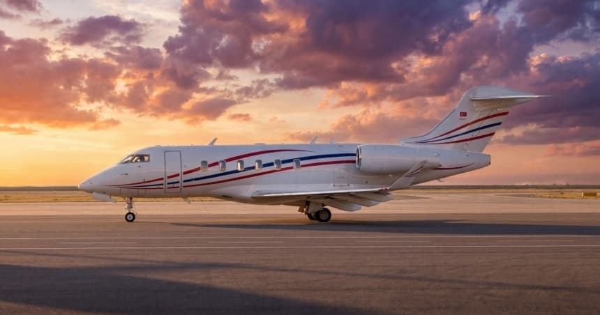 Thu, Nov 5in 2 daysVeniceLIPZ · Venezia / Tessera - Marco Polo AirportIstanbulLTBA · Ataturk International AirportChallenger 3509—On request5NovVenice → IstanbulLIPZ → LTBA · in 2 daysChallenger 350 · 9 seatsOn request
- Thu, Nov 5in 2 daysRomeLIRF · Rome-Fiumicino Leonardo da Vinci International AirportBakirkoyLTBA · Istanbul Ataturk AirportBombardier Challenger 3509—$25,6305NovRome → BakirkoyLIRF → LTBA · in 2 daysBombardier Challenger 350 · 9 seats$25,630
 WMSA · Sultan Abdul Aziz Shah International Airport
 LOWW · Schwechat
 OMDW · Al Maktoum International Airport
 LIPZ · Venezia / Tessera - Marco Polo Airport
* Total price incl. 10% service fee, converted to your selected currency. Price subject to operator confirmation.
Map: Istanbul Airport
View the location of Istanbul – ISL/LTBA. Zoom in to explore the area around the airport.
About the airport
Ataturk International Airport (ISL/LTBA) is the key private jet gateway for Istanbul. PrivJet gives you instant access to charter flights and empty legs: fast, discreet and globally connected.
LTBA airport FAQ
Are there any restrictions at Istanbul airport (LTBA) today?
There are currently 2 valid NOTAMs for Istanbul (LTBA). Affected: Aerodrome. For information only, not for flight planning or operational use. Always rely on an official pre-flight briefing. This list may be incomplete or out of date.
What is the weather at Istanbul airport (LTBA)?
According to the latest weather report for LTBA (METAR, 02 Nov, 23:20 UTC): Marginal visual conditions (MVFR). Wind 7 kt (13 km/h) from east (90°), visibility 10 km or more, temperature 16 °C (dew point 16 °C). For information only, not for flight planning. Weather can change quickly; always rely on official reports.
How long are the runways at Istanbul airport (LTBA)?
Istanbul (LTBA) has one runway: runway 05/23 with 2,600 m (8,530 ft), asphalt.
What are the radio frequencies at Istanbul airport (LTBA)?
Frequencies at LTBA: Tower 118.1 MHz, Ground 121.8 MHz and ATIS 128.2 MHz. For information only. Always rely on the published AIP.
What are the airport codes of Ataturk International Airport?
The ICAO code is LTBA and the IATA code is ISL. ICAO codes are used by air traffic control and pilots, e.g. in flight plans; IATA codes appear on tickets and baggage tags.
What is the elevation of LTBA airport?
Ataturk International Airport sits at 163 ft (50 m) above sea level. Local time zone: Europe/Istanbul.
Where do private jets land at Istanbul Ataturk?
Private jet passengers at LTBA are handled through Atatürk Airport General Aviation Terminal (Genel Havacılık Terminali) (Atatürk Airport General Aviation Terminal, 34295 Sefaköy, Istanbul). The operator confirms the exact meeting point with your flight confirmation.
Can I fly to LTBA by private jet?
Whether a private jet can operate into Ataturk International Airport depends on runway length, opening hours, customs and immigration rules as well as slot and handling availability, among other things. PrivJet checks this with the operating carrier for every request.
Are there empty legs from or to LTBA?
There are currently 17 empty legs departing from and 17 arriving at Ataturk International Airport. Empty legs are repositioning flights at heavily reduced prices; the list is updated several times a day.