Nassau Lynden Pindling Airport (MYNN / NAS)
Empty legs and charters from Nassau
MYNN airport at a glance
- ICAO code
- MYNN
- IATA code
- NAS
- City
- Nassau
- Region
- New Providence
- Country
- Bahamas
- Elevation
- 16 ft (5 m)
- Time zone
- America/Nassau (UTC-5)
- Coordinates
- 25.0390° N, 77.4662° W
- Empty legs from
- 100
- Empty legs to
- 100
Weather & airport info MYNN
Current weather
Good visual conditions (VFR)observed 03 Nov, 23:00 UTC- Wind
- 7 kt (13 km/h) from east (100°)
- Visibility
- 10 km or more
- Clouds
- few clouds at 1,500 ft, scattered clouds at 2,000 ft
- Temperature
- 27 °C (dew point 24 °C)
- Pressure (QNH)
- 1,015 hPa
Original weather report (METAR)
METAR MYNN 032300Z COR 10007KT 070V130 9999 FEW015CB SCT020 27/24 A2997 RMK CB/LTG DSNT S
Airport
- Elevation
- 16 ft (5 m)
- Sunrise / Sunset
- 06:18 / 17:28 local time
Runways
| Runway | Length | Surface | Lighted |
|---|---|---|---|
| 14/32 | 3,460 m (11,353 ft) | asphalt | yes |
| 10/28 | 2,522 m (8,273 ft) | asphalt | yes |
Radio frequencies
- Approach: 121
- ATIS: 118.7
- Clearance: 118.3
- CTAF: 122.95
- Ground: 121.7
- Tower: 119.5
- UNICOM: 123
For information only, not for flight planning. Weather can change quickly; always rely on official reports. Sources: aviationweather.gov (NOAA), OurAirports.
Airport map MYNN
Full screen →Runways white, taxiways yellow with designators, closed taxiways and runways per NOTAM in red.
Closed per NOTAM: RWY 32, TWY A, TWY L
Official charts
Aerodrome, approach and ground charts are published by the national air navigation service in its AIP:
EUROCONTROL: nationale AIS-Websites →For information only, not for navigation. Always use current official charts and NOTAMs.
Current NOTAMs for MYNN(7)
NOTAMs (Notices to Air Missions) announce short-term changes at an airport: closed runways or taxiways, unserviceable approach aids, obstacles, airspace restrictions.
- ClosedRunway: closedA0589/26· until 15 Nov, 00:00 UTC
Runway 32 is closed for the first 3425 feet due to construction. This means the beginning of the runway cannot be used.
Show original text
RWY 32 CLSD FIRST 3425FT DUE TO CONST
A0589/26 NOTAMR A0498/26
 Q) MYNA/QMRLC/IV/NBO/A/000/999/2502N07728W005
 A) MYNN
 B) 2610232100 C) 2611150000
 E) RWY 32 CLSD FIRST 3425FT DUE TO CONST
- ClosedTaxiway: closedA0614/26· until 14 Nov, 11:00 UTC
Taxiway A is closed.
Show original text
TWY A CLSD
A0614/26 NOTAMN
 Q) MYNA/QMXLC/IV/BO/A/000/999/2502N07728W005
 A) MYNN
 B) 2610291530 C) 2611141100
 E) TWY A CLSD
- ClosedTaxiway: closedA0615/26· until 14 Nov, 11:00 UTC
Taxiway L closed
Show original text
TWY L CLSD
A0615/26 NOTAMN
 Q) MYNA/QMXLC/IV/BO/A/000/999/2502N07728W005
 A) MYNN
 B) 2610291530 C) 2611141100
 E) TWY L CLSD
- Out of serviceDeclared distances: changedA0590/26· until 15 Nov, 00:00 UTC
Runway 32 TORA 7500 ft TODA 7500 ft ASDA 7500 ft LDA not available
Show original text
RWY 32 TORA 7500FT TODA 7500FT ASDA 7500FT LDA NOT AVBL
A0590/26 NOTAMR A0502/26
 Q) MYNA/QMDCH/IV/NBO/A/000/999/2502N07728W005
 A) MYNN
 B) 2610232101 C) 2611150000
 E) RWY 32 TORA 7500FT TODA 7500FT ASDA 7500FT LDA NOT AVBL
- NoticeDanger area: activatedA0629/26· until 30 Nov, 20:00 UTC
A danger area (MY)D3002 is active. This means that dangerous activities might be taking place in this area.
Show original text
DANGER AREA (MY)D3002 ACT
A0629/26 NOTAMN
 Q) MYNA/QRDCA/IV/BO/W/000/005/2455N07734W008
 A) MYNN
 B) 2611021500 C) 2611302000
 D) 1400-2000
 E) DANGER AREA (MY)D3002 ACT
 F) SFC G) 500FT AMSL
Hours: 1400-2000
- NoticeRunway: limited toA0588/26· until 15 Nov, 00:00 UTC
Runway 32 is available for takeoff only.
Show original text
RWY 32 AVBL FOR TKOF ONLY
A0588/26 NOTAMR A0495/26
 Q) MYNA/QMRLT/IV/NBO/A/000/999/2502N07728W005
 A) MYNN
 B) 2610232055 C) 2611150000
 E) RWY 32 AVBL FOR TKOF ONLY
- NoticeDeclared distances: changedA0587/26· until 15 Nov, 00:00 UTC
Runway 14 has a takeoff run available of 7500 feet, a takeoff distance available of 7500 feet, an accelerate-stop distance available of 7500 feet, and a landing distance available of 7500 feet.
Show original text
RWY 14 TORA 7500FT TODA 7500FT ASDA 7500FT LDA 7500FT
A0587/26 NOTAMR A0501/26
 Q) MYNA/QMDCH/IV/NBO/A/000/999/2502N07728W005
 A) MYNN
 B) 2610232052 C) 2611150000
 E) RWY 14 TORA 7500FT TODA 7500FT ASDA 7500FT LDA 7500FT
For information only, not for flight planning or operational use. Always rely on an official pre-flight briefing. This list may be incomplete or out of date. Explanations and expanded abbreviations are generated automatically. The original text is authoritative. Source: FAA NOTAM Management Service (SWIM).
Charter operators based here
Operators with a base at this airport.
- Axis AviationVienna (Schwechat) (LOWW) · Light jet, Super midsize jet, Heavy jet
- Flamingo AirTurboprop, Piston aircraft
- BahamasairTurboprop
- Blessings Aviation CharterTurboprop, Piston aircraft
- Pineapple AirTurboprop
- Titan AirTurboprop, Piston aircraft
- Trans Island AirwaysTurboprop, Midsize jet
- Exclusive AviationTurboprop, Light jet
- Bahama Hoppers Aircraft CharterPiston aircraft
- Fig AirToronto (Pearson) (CYYZ) · Helicopter
- LeAir Charter ServicesTurboprop, Piston aircraft
- Azure Elite AviationPiston aircraft
- Inter Island ChartersPiston aircraft
- Southern Air CharterTurboprop
- Squeeze ChartersPiston aircraft
- Tropix AirTurboprop
- Zipline ExpressTurboprop, Piston aircraft
- Bahamas Evac Charter ServicesPiston aircraft
- Ferg's Air CharterPiston aircraft
- Golden Wings CharterPiston aircraft
- Graceful WingsPiston aircraft
- Seabird AirPiston aircraft
- Seaplane SafarisTurboprop
- Trinity Air Charter CompanyPiston aircraft
- Uhuru AviationPiston aircraft
- AAS LifeFlightTurboprop
- Sunrise AirlinesPiston aircraft
- Top Flight Aero-ServicesTurboprop
Empty legs from MYNN
100 departures available
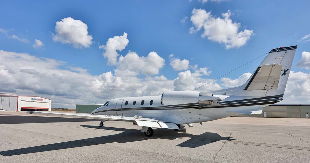 Tue, Nov 3TodayNassauMYNN · Lynden Pindling International AirportMiamiKOPF · Miami-Opa Locka Executive AirportCitation Excel7—On request3NovNassau → MiamiMYNN → KOPF · TodayCitation Excel · 7 seatsOn request
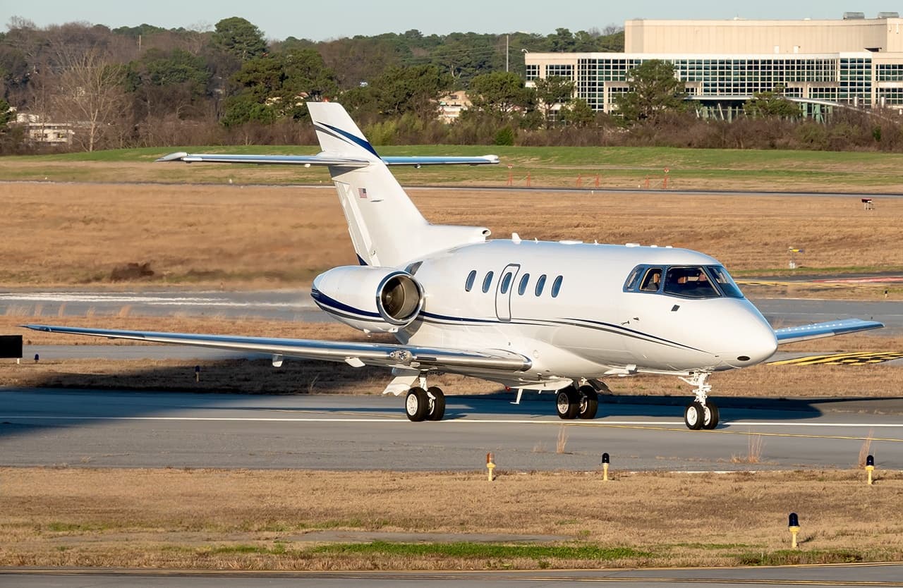 Tue, Nov 3TodayNassauMYNN · Lynden Pindling International AirportFort Pierce NorthKFPR · Treasure Coast International AirportHawker 800XP8—On request3NovNassau → Fort Pierce NorthMYNN → KFPR · TodayHawker 800XP · 8 seatsOn request
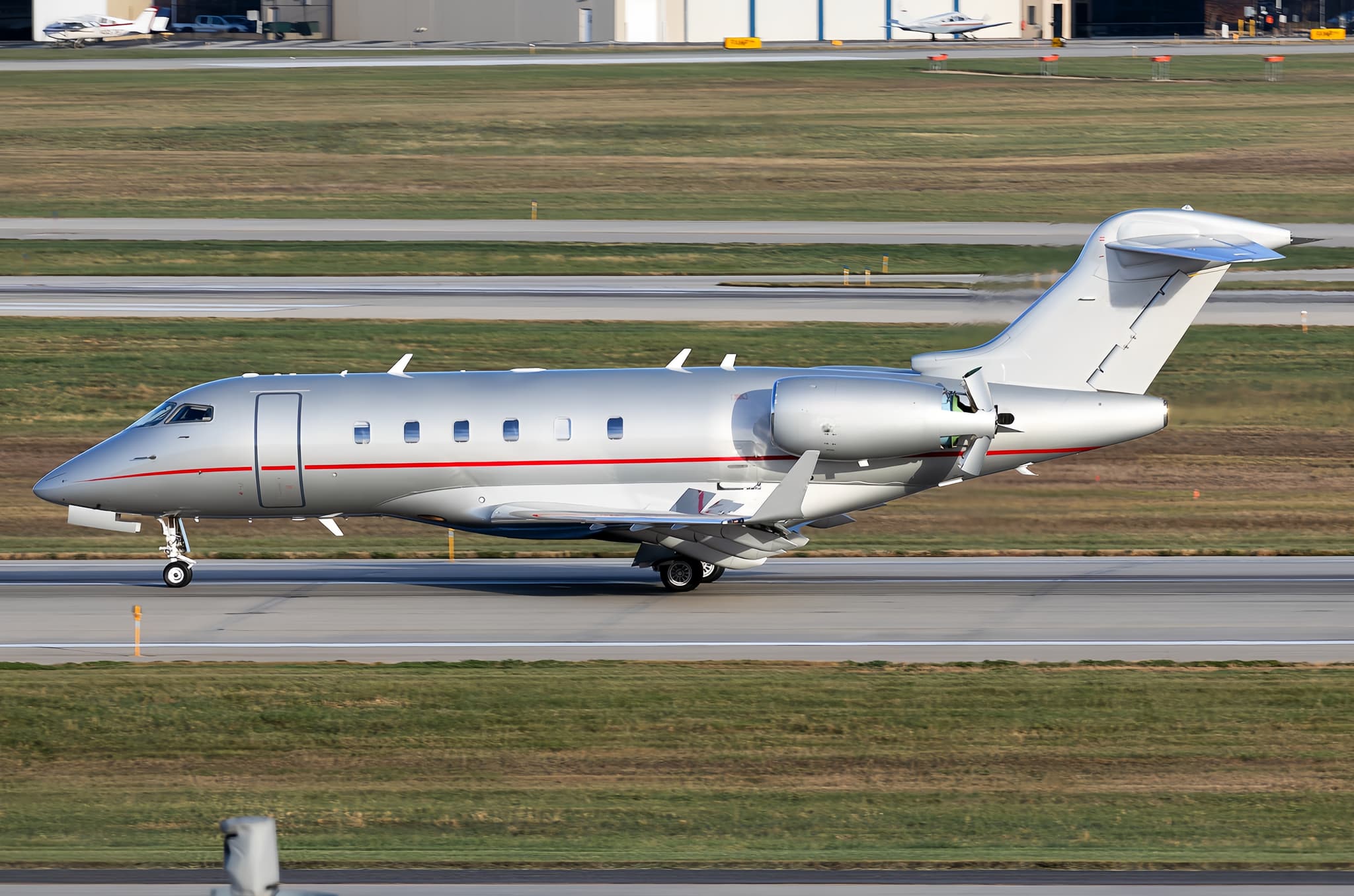 Tue, Nov 3TodayNassauMYNN · Lynden Pindling International AirportRaleighKRDU · Raleigh Durham International AirportChallenger 3008—On request3NovNassau → RaleighMYNN → KRDU · TodayChallenger 300 · 8 seatsOn request
 Tue, Nov 321:54NassauMYNN · Lynden Pindling International AirportJacksonvilleKJAX · Jacksonville International AirportCessna Citation XLS+11h 30mOn request3NovNassau → JacksonvilleMYNN → KJAX · 21:54Cessna Citation XLS+ · 1 seat · 1h 30mOn request
 Tue, Nov 313:18NassauMYNN · Lynden Pindling International AirportSarasota/BradentonKSRQ · Sarasota Bradenton International AirportBombardier Challenger 60511h 6mOn request3NovNassau → Sarasota/BradentonMYNN → KSRQ · 13:18Bombardier Challenger 605 · 1 seat · 1h 6mOn request
- Tue, Nov 3TodayNassauMYNN · Lynden Pindling International AirportFort LauderdaleKFXE · Fort Lauderdale Executive AirportBritten-Norman Islander BN-2A-810—$2,2873NovNassau → Fort LauderdaleMYNN → KFXE · TodayBritten-Norman Islander BN-2A-8 · 10 seats$2,287
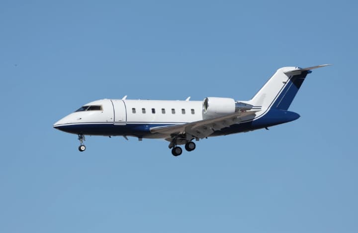 Wed, Nov 4TomorrowNassauMYNN · Lynden Pindling International AirportMiamiKOPF · Miami-Opa Locka Executive AirportChallenger 60410—$6,4904NovNassau → MiamiMYNN → KOPF · TomorrowChallenger 604 · 10 seats$6,490
 Wed, Nov 4TomorrowNassauMYNN · Lynden Pindling International AirportWarsawEPWA · Warsaw Chopin AirportGulfstream G650ER14—On request4NovNassau → WarsawMYNN → EPWA · TomorrowGulfstream G650ER · 14 seatsOn request
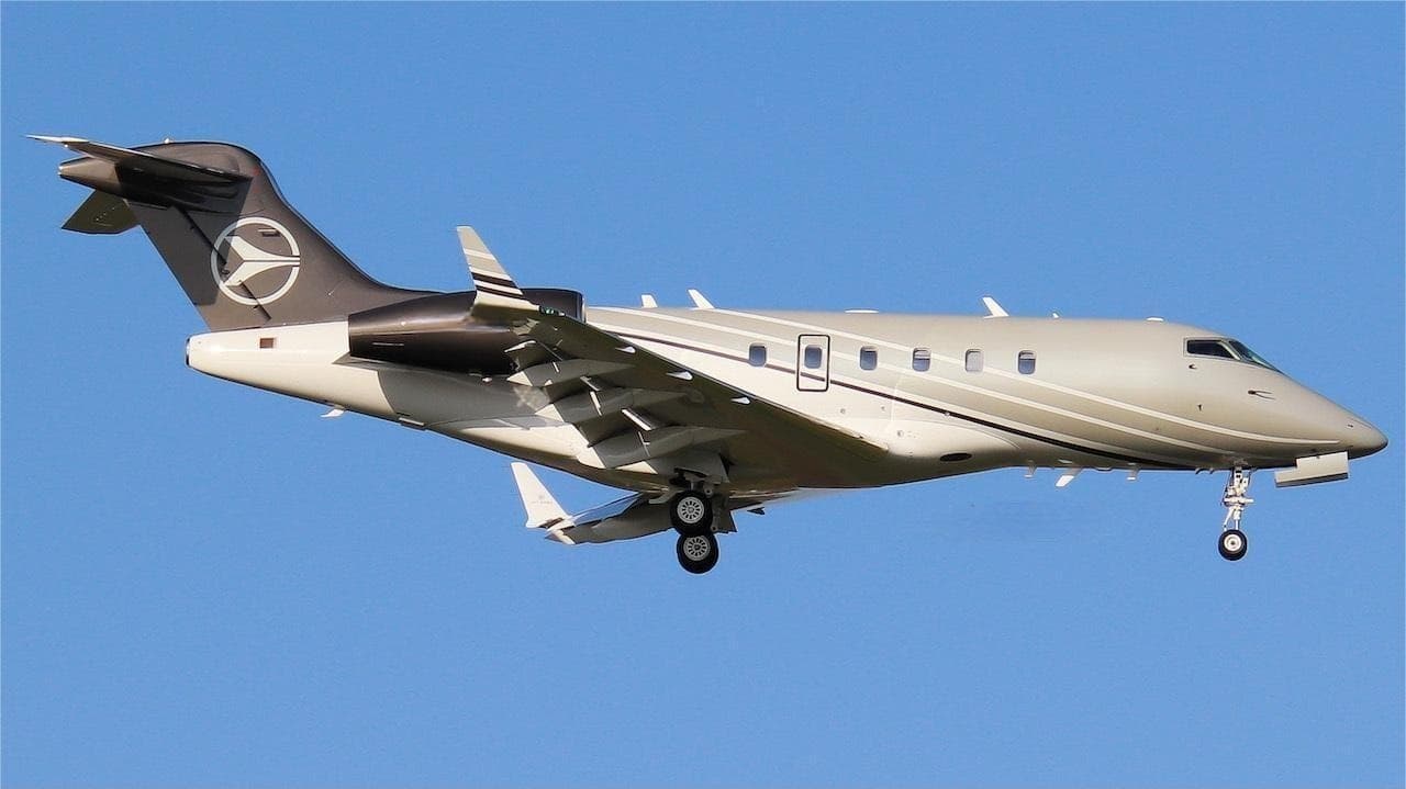 Wed, Nov 4TomorrowNassauMYNN · Lynden Pindling International AirportMiamiKMIA · Miami International AirportChallenger 3008—On request4NovNassau → MiamiMYNN → KMIA · TomorrowChallenger 300 · 8 seatsOn request
 MYNN · Lynden Pindling International Airport
 KOPF · Miami-Opa Locka Executive Airport
 EPWA · Warsaw Chopin Airport
* Total price incl. 10% service fee, converted to your selected currency. Price subject to operator confirmation.
Empty legs to MYNN
100 arrivals available
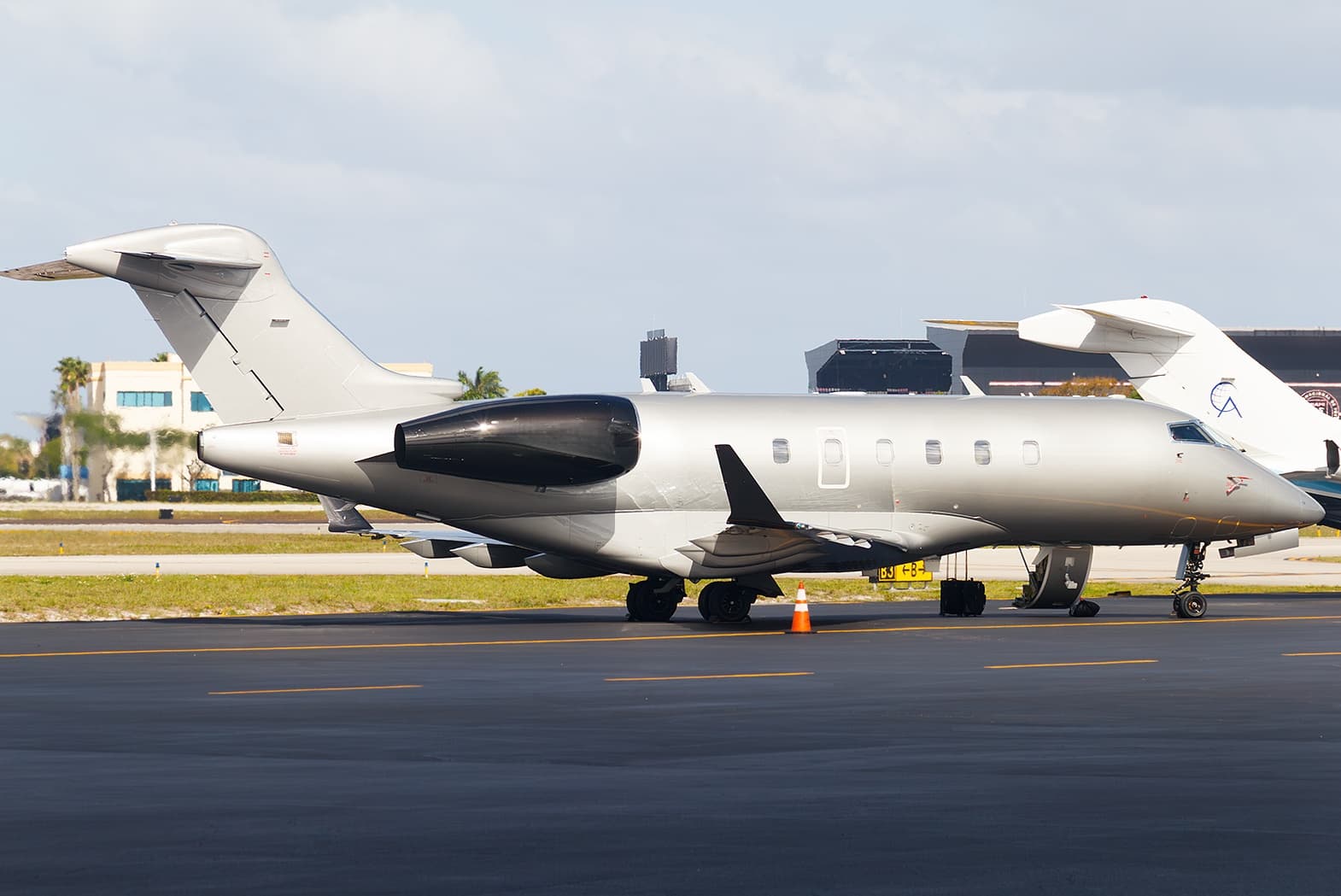 Tue, Nov 3TodayProvidencialesMBPV · Providenciales AirportNassauMYNN · Lynden Pindling International AirportChallenger 3009—$7,9723NovProvidenciales → NassauMBPV → MYNN · TodayChallenger 300 · 9 seats$7,972
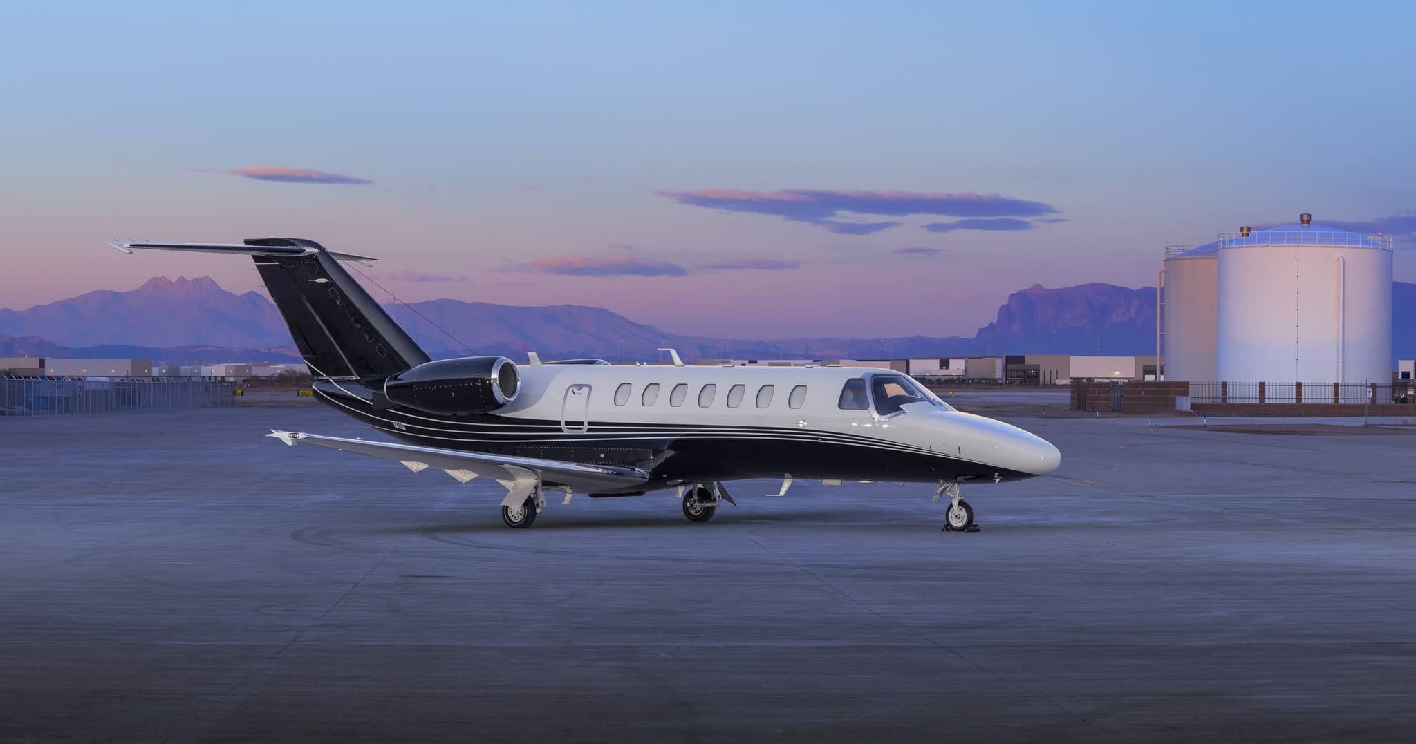 Tue, Nov 3TodaySarasotaKSRQ · Sarasota Bradenton International AirportNassauMYNN · Lynden Pindling International AirportCitation CJ3+7—On request3NovSarasota → NassauKSRQ → MYNN · TodayCitation CJ3+ · 7 seatsOn request
- Tue, Nov 323:00West Palm BeachKDJT · President Donald J. Trump International AirportNassauMYNN · Lynden Pindling International AirportBombardier Challenger 605142mOn request3NovWest Palm Beach → NassauKDJT → MYNN · 23:00Bombardier Challenger 605 · 1 seat · 42mOn request
- Tue, Nov 3TodayMiamiKOPF · Miami-Opa Locka Executive AirportNassauMYNN · Lynden Pindling International AirportCessna Citation VII81h$6,0503NovMiami → NassauKOPF → MYNN · TodayCessna Citation VII · 8 seats · 1h$6,050
 Tue, Nov 3TodayMiamiKOPF · Miami-Opa Locka Executive AirportNassauMYNN · Lynden Pindling International AirportCitation VII8—On request3NovMiami → NassauKOPF → MYNN · TodayCitation VII · 8 seatsOn request
- Tue, Nov 3TodayFort LauderdaleKFXE · Fort Lauderdale Executive AirportNassauMYNN · Lynden Pindling International AirportBritten-Norman Islander BN-2A-810—$2,2873NovFort Lauderdale → NassauKFXE → MYNN · TodayBritten-Norman Islander BN-2A-8 · 10 seats$2,287
- Tue, Nov 3TodayFort LauderdaleKFXE · Fort Lauderdale Executive AirportNassauMYNN · Lynden Pindling International AirportCessna 402B7—$2,8753NovFort Lauderdale → NassauKFXE → MYNN · TodayCessna 402B · 7 seats$2,875
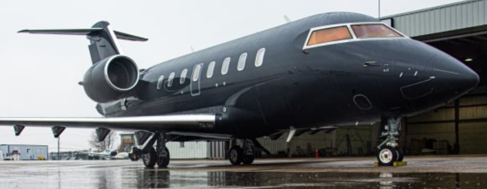 Wed, Nov 4TomorrowWest Palm BeachKDJT · President Donald J. Trump International AirportNassauMYNN · Lynden Pindling International AirportChallenger 60510—On request4NovWest Palm Beach → NassauKDJT → MYNN · TomorrowChallenger 605 · 10 seatsOn request
- Wed, Nov 407:38MiamiKOPF · Miami-Opa Locka Executive AirportNassauMYNN · Lynden Pindling International AirportEmbraer Legacy 60013—$8,5804NovMiami → NassauKOPF → MYNN · 07:38Embraer Legacy 600 · 13 seats$8,580
 MBPV · Providenciales Airport
* Total price incl. 10% service fee, converted to your selected currency. Price subject to operator confirmation.
Map: Nassau Airport
View the location of Nassau – NAS/MYNN. Zoom in to explore the area around the airport.
About the airport
Lynden Pindling International Airport (NAS/MYNN) is the key private jet gateway for Nassau. PrivJet gives you instant access to charter flights and empty legs: fast, discreet and globally connected.
MYNN airport FAQ
Are there any restrictions at Nassau airport (MYNN) today?
There are currently 7 valid NOTAMs for Nassau (MYNN). According to NOTAM, at least one runway or the aerodrome itself is closed. Affected: Runway: closed; Taxiway: closed; Declared distances: changed. For information only, not for flight planning or operational use. Always rely on an official pre-flight briefing. This list may be incomplete or out of date.
What is the weather at Nassau airport (MYNN)?
According to the latest weather report for MYNN (METAR, 03 Nov, 23:00 UTC): Good visual conditions (VFR). Wind 7 kt (13 km/h) from east (100°), visibility 10 km or more, temperature 27 °C (dew point 24 °C). For information only, not for flight planning. Weather can change quickly; always rely on official reports.
How long are the runways at Nassau airport (MYNN)?
Nassau (MYNN) has 2 runways: runway 14/32 with 3,460 m (11,353 ft), asphalt and runway 10/28 with 2,522 m (8,273 ft), asphalt. The longest is 3,460 m.
What are the radio frequencies at Nassau airport (MYNN)?
Frequencies at MYNN: Tower 119.5 MHz, Ground 121.7 MHz and ATIS 118.7 MHz. For information only. Always rely on the published AIP.
What are the airport codes of Lynden Pindling International Airport?
The ICAO code is MYNN and the IATA code is NAS. ICAO codes are used by air traffic control and pilots, e.g. in flight plans; IATA codes appear on tickets and baggage tags.
What is the elevation of MYNN airport?
Lynden Pindling International Airport sits at 16 ft (5 m) above sea level. Local time zone: America/Nassau.
Can I fly to MYNN by private jet?
Whether a private jet can operate into Lynden Pindling International Airport depends on runway length, opening hours, customs and immigration rules as well as slot and handling availability, among other things. PrivJet checks this with the operating carrier for every request.
Are there empty legs from or to MYNN?
There are currently 100 empty legs departing from and 100 arriving at Lynden Pindling International Airport. Empty legs are repositioning flights at heavily reduced prices; the list is updated several times a day.