Doha Airport (OTBD / DIA)
Empty legs and charters from Doha
OTBD airport at a glance
- ICAO code
- OTBD
- IATA code
- DIA
- City
- Doha
- Region
- Baladiyat ad Dawḩah
- Country
- Qatar
- Elevation
- 35 ft (11 m)
- Time zone
- Asia/Qatar (UTC+3)
- Coordinates
- 25.2611° N, 51.5651° E
- Empty legs from
- 21
- Empty legs to
- 15
Weather & airport info OTBD
Current weather
No current weather report is available for this airport.
Airport
- Elevation
- 35 ft (11 m)
- Sunrise / Sunset
- 05:42 / 16:52 local time
Runways
| Runway | Length | Surface | Lighted |
|---|---|---|---|
| 15/33 | 4,572 m (15,000 ft) | asphalt | yes |
Radio frequencies
- Approach: 121.1
- ATIS: 126.45
- Ground: 118.275
- Tower: 118.9
For information only, not for flight planning. Weather can change quickly; always rely on official reports. Sources: aviationweather.gov (NOAA), OurAirports.
Airport map OTBD
Full screen →Runways white, taxiways yellow with designators, closed taxiways and runways per NOTAM in red.
Closed per NOTAM: TWY Q1
Official charts
Aerodrome, approach and ground charts are published by the national air navigation service in its AIP:
EUROCONTROL: nationale AIS-Websites →For information only, not for navigation. Always use current official charts and NOTAMs.
Current NOTAMs for OTBD(19)
NOTAMs (Notices to Air Missions) announce short-term changes at an airport: closed runways or taxiways, unserviceable approach aids, obstacles, airspace restrictions.
- ClosedTaxiway: closedA1167/26· until 30 Dec, 11:00 UTC
Taxiway Q1 at DOHA INTERNATIONAL airport is closed due to work in progress.
Show original text
TWY Q1 CLSD DUE WIP.
A1167/26 NOTAMN
 Q)OTDF/QMXLC/IV/M/A/000/999/2516N05134E005
 A)OTBD B)2611010600 C)2612301100
 E)TWY Q1 CLSD DUE WIP.
- NoticeMissile, gun or rocket firing: will take placeA1144/26· from 08 Nov, 15:00 UTC · until 08 Nov, 20:00 UTC
FIREWORKS will TAKE PLACE within: - - - - (LUSAIL CIRCUIT).
Show original text
FIREWORKS WILL TAKE PLACE WI: 252936.66N 0512629.66E - 253000.54N 0512718.77E - 252906.29N 0512749.69E - 252843.34N 0512702.29E - 252936.66N 0512629.66E (LUSAIL CIRCUIT).
A1144/26 NOTAMN
 Q)OTDF/QWMLW/IV/BO/AW/000/004/2529N05127E002
 A)OTBD B)2611081500 C)2611082000
 E)FIREWORKS WILL TAKE PLACE WI:
 252936.66N 0512629.66E - 253000.54N 0512718.77E -
 252906.29N 0512749.69E - 252843.34N 0512702.29E -
 252936.66N 0512629.66E (LUSAIL CIRCUIT).
 F)SFC G)100M AGL
- NoticeAerodrome: limited toA1165/26· from 08 Nov, 15:00 UTC · until 09 Nov, 20:59 UTC
A remotely piloted aircraft system (RPAS) activity will take place within a 500-meter radius centered on the Ritz Carlton Hotel. The activity will be from the surface to 820 feet above ground and is a 1000 drone show.
Show original text
REMOTELY PILOTED ACFT SYSTEM (RPAS) ACT WILL TAKE PLACE WI: CIRCLE OF 500M RADIUS CENTERED ON 252246.52N 0513150.92E (RITZ CARLTON HOTEL). FROM SFC TO 820FT AGL. NOTE: 1000 DRONE SHOW.
A1165/26 NOTAMN
 Q)OTDF/QFALT/IV/NBO/A/000/999/2516N05134E005
 A)OTBD B)2611081500 C)2611092059
 D)DAILY 1500-2059
 E)REMOTELY PILOTED ACFT SYSTEM (RPAS) ACT WILL TAKE PLACE WI:
 CIRCLE OF 500M RADIUS CENTERED ON 252246.52N 0513150.92E (RITZ
 CARLTON HOTEL). FROM SFC TO 820FT AGL.
 NOTE: 1000 DRONE SHOW.
Hours: DAILY 1500-2059
- NoticeMissile, gun or rocket firing: will take placeA1130/26· from 04 Nov, 15:00 UTC · until 07 Nov, 20:59 UTC
Fireworks will take place within the Doha Port area. This may affect flight operations at Doha International Airport.
Show original text
FIREWORKS WILL TAKE PLACE WI: 251809.15N 0513256.84E - 251815.92N 0513252.74E - 251831.13N 0513330.27E - 251809.38N 0513341.93E - 251758.14N 0513315.86E - 251741.95N 0513323.79E - 251739.51N 0513317.36E - 251749.82N 0513311.83E - 251745.70N 0513300.61E - 251754.57N 0513256.54E - 251759.44N 0513306.17E - 251810.50N 0513300.51E - 251809.15N 0513256.84E (DOHA PORT).
A1130/26 NOTAMN
 Q)OTDF/QWMLW/IV/BO/AW/000/005/2518N05133E001
 A)OTBD B)2611041500 C)2611072059
 D)DAILY 1500-2059
 E)FIREWORKS WILL TAKE PLACE WI:
 251809.15N 0513256.84E - 251815.92N 0513252.74E -
 251831.13N 0513330.27E - 251809.38N 0513341.93E -
 251758.14N 0513315.86E - 251741.95N 0513323.79E -
 251739.51N 0513317.36E - 251749.82N 0513311.83E -
 251745.70N 0513300.61E - 251754.57N 0513256.54E -
 251759.44N 0513306.17E - 251810.50N 0513300.51E -
 251809.15N 0513256.84E (DOHA PORT).
 F)SFC G)492FT AGL
Hours: DAILY 1500-2059
- NoticeAerodromeA1184/26· until 03 Nov, 12:00 UTC
A full-scale emergency exercise (ORYX NOVEMBER 2026) is in progress near stands E14 and E15 at Doha International (OTBD) airport. This activity will not impact normal airfield operations.
Show original text
FULL-SCALE EMERGENCY EXERCISE (ORYX NOVEMBER 2026) IN PROGRESS IN THE VICINITY OF STAND E14 AND E15, INVOLVING LARGE AMOUNT OF PERSONNEL, VEHICLES AND OPERATIONAL EQUIPMENT. ACTIVITY WILL NOT IMPACT NORMAL AIRFIELD OPERATIONS.
A1184/26 NOTAMN
 Q)OTDF/QFAXX/IV/NBO/A/000/999/2516N05134E005
 A)OTBD B)2611030700 C)2611031200
 E)FULL-SCALE EMERGENCY EXERCISE (ORYX NOVEMBER 2026) IN PROGRESS IN
 THE
 VICINITY OF STAND E14 AND E15, INVOLVING LARGE AMOUNT OF PERSONNEL,
 VEHICLES AND OPERATIONAL EQUIPMENT. ACTIVITY WILL NOT IMPACT NORMAL
 AIRFIELD OPERATIONS.
- NoticeAerodrome: limited toA1186/26· until 10 Nov, 11:00 UTC
Remotely piloted aircraft system activities will take place in Area 1 (RED) near the airport. These activities will occur from the surface up to 660 feet above ground.
Show original text
REMOTELY PILOTED ACFT SYSTEM (RPAS) ACT WILL TAKE PLACE WI: 252558.62N 0513002.56E - 252545.16N 0513019.26E - 252557.18N 0513028.33E - 252632.39N 0513053.89E - 252631.09N 0513119.27E - 252554.08N 0513116.64E - 252530.22N 0513055.91E - 252520.10N 0513028.91E - 252500.16N 0513034.20E - 252416.38N 0513041.00E - 252414.51N 0512928.14E - 252445.18N 0512911.54E - 252556.35N 0512904.06E - 252558.62N 0513002.56E (AREA 1 ( RED )). FROM SFC TO 660FT AGL.
A1186/26 NOTAMN
 Q)OTDF/QFALT/IV/NBO/A/000/999/2516N05134E005
 A)OTBD B)2611030400 C)2611101100
 D)DAILY 0400-1100
 E)REMOTELY PILOTED ACFT SYSTEM (RPAS) ACT WILL TAKE PLACE WI:
 252558.62N 0513002.56E - 252545.16N 0513019.26E -
 252557.18N 0513028.33E - 252632.39N 0513053.89E -
 252631.09N 0513119.27E - 252554.08N 0513116.64E -
 252530.22N 0513055.91E - 252520.10N 0513028.91E -
 252500.16N 0513034.20E - 252416.38N 0513041.00E -
 252414.51N 0512928.14E - 252445.18N 0512911.54E -
 252556.35N 0512904.06E - 252558.62N 0513002.56E (AREA 1 ( RED )).
 FROM SFC TO 660FT AGL.
Hours: DAILY 0400-1100
- NoticeAerodrome: limited toA1188/26· until 10 Nov, 11:00 UTC
Remotely piloted aircraft system activities will take place in Area 2 (BLUE) near the airport. These activities will occur from the surface up to 820 feet above ground.
Show original text
REMOTELY PILOTED ACFT SYSTEM (RPAS) ACT WILL TAKE PLACE WI: 252345.24N 0513012.49E - 252415.34N 0512957.19E - 252416.13N 0513041.29E - 252426.14N 0513039.35E - 252431.93N 0513124.64E - 252414.90N 0513134.21E - 252406.88N 0513118.44E - 252334.58N 0513130.07E - 252329.83N 0513200.64E - 252312.44N 0513155.99E - 252257.29N 0513201.18E - 252247.03N 0513119.81E - 252401.26N 0513053.42E - 252345.24N 0513012.49E (AREA 2 ( BLUE )). FROM SFC TO 820FT AGL.
A1188/26 NOTAMN
 Q)OTDF/QFALT/IV/NBO/A/000/999/2516N05134E005
 A)OTBD B)2611030400 C)2611101100
 D)DAILY 0400-1100
 E)REMOTELY PILOTED ACFT SYSTEM (RPAS) ACT WILL TAKE PLACE WI:
 252345.24N 0513012.49E - 252415.34N 0512957.19E -
 252416.13N 0513041.29E - 252426.14N 0513039.35E -
 252431.93N 0513124.64E - 252414.90N 0513134.21E -
 252406.88N 0513118.44E - 252334.58N 0513130.07E -
 252329.83N 0513200.64E - 252312.44N 0513155.99E -
 252257.29N 0513201.18E - 252247.03N 0513119.81E -
 252401.26N 0513053.42E - 252345.24N 0513012.49E (AREA 2 ( BLUE )).
 FROM SFC TO 820FT AGL.
Hours: DAILY 0400-1100
- NoticeUnmanned aircraft: will take placeA1189/26· until 08 Nov, 19:00 UTC
Remotely piloted aircraft system (RPAS) activities will take place in the area of the Old Doha Port. This may affect flight operations near Doha International Airport.
Show original text
REMOTELY PILOTED ACFT SYSTEM (RPAS) ACT WILL TAKE PLACE WI: 251832.70N 0513331.45E - 251752.48N 0513351.91E - 251728.95N 0513253.59E - 251808.97N 0513233.83E - 251832.70N 0513331.45E (OLD DOHA PORT).
A1189/26 NOTAMN
 Q)OTDF/QWULW/IV/BO/AW/000/004/2518N05133E001
 A)OTBD B)2611021300 C)2611081900
 D)NOV 02 1300-1900, NOV 03 0300-0700 1200-1900, NOV 04 0230-0600
 1100-2000, NOV 05 1100-2000, NOV 06 0300-0700 1300-1900, NOV 07
 0300-0700 1300-2000, NOV 08 0400-0800 1100-1900
 E)REMOTELY PILOTED ACFT SYSTEM (RPAS) ACT WILL TAKE PLACE WI:
 251832.70N 0513331.45E - 251752.48N 0513351.91E -
 251728.95N 0513253.59E - 251808.97N 0513233.83E -
 251832.70N 0513331.45E (OLD DOHA PORT).
 F)SFC G)328FT AGL
Hours: NOV 02 1300-1900, NOV 03 0300-0700 1200-1900, NOV 04 0230-0600 1100-2000, NOV 05 1100-2000, NOV 06 0300-0700 1300-1900, NOV 07 0300-0700 1300-2000, NOV 08 0400-0800 1100-1900
11 more NOTAMs
- NoticeAerodrome: limited toA1175/26· until 11 Nov, 09:00 UTC
Remotely Piloted Aircraft System (RPAS) activities will take place in a defined area, from the surface up to 328 feet above ground.
Show original text
REMOTELY PILOTED ACFT SYSTEM (RPAS) ACT WILL TAKE PLACE WI: 251132.80N 0513543.94E - 251241.90N 0513506.98E - 251350.97N 0513431.71E - 251546.80N 0513327.26E - 251657.25N 0513130.93E - 251725.07N 0513111.21E - 251832.40N 0513052.70E - 251928.00N 0513134.92E - 252103.17N 0513123.49E - 252144.41N 0513113.23E - 252215.84N 0513125.76E - 252256.74N 0512930.07E - 252455.79N 0512911.02E - 252902.34N 0512757.78E - 253340.64N 0512703.75E - 253911.27N 0512935.13E - 254050.38N 0512938.60E - 254256.62N 0513025.26E - 254243.80N 0513041.31E - 254043.10N 0513003.80E - 253901.78N 0512954.37E - 253337.80N 0512721.74E - 252904.43N 0512811.06E - 252456.60N 0512919.66E - 252300.97N 0512936.55E - 252219.96N 0513133.49E - 252143.76N 0513120.81E - 252104.11N 0513129.21E - 251922.19N 0513143.59E - 251852.40N 0513114.88E - 251828.60N 0513101.45E - 251726.49N 0513118.07E - 251700.65N 0513134.53E - 251611.15N 0513302.45E - 251550.46N 0513331.92E - 251456.46N 0513403.88E - 251357.37N 0513435.67E - 251451.85N 0513612.84E - 251456.40N 0513637.06E - 251507.77N 0513702.51E - 251527.16N 0513654.41E - 251529.12N 0513658.00E - 251505.74N 0513707.67E - 251452.12N 0513640.76E - 251447.20N 0513615.13E - 251352.02N 0513437.72E - 251138.22N 0513550.15E - 251000.49N 0513636.84E - 250815.57N 0513550.58E - 250801.16N 0513554.57E - 250759.13N 0513549.30E - 250816.01N 0513543.97E - 251000.73N 0513623.89E - 251132.80N 0513543.94E (RED LINE). FROM SFC TO 328FT AGL.
A1175/26 NOTAMN
 Q)OTDF/QFALT/IV/NBO/A/000/999/2516N05134E005
 A)OTBD B)2611020400 C)2611110900
 D)DAILY 0400-0900
 E)REMOTELY PILOTED ACFT SYSTEM (RPAS) ACT WILL TAKE PLACE WI:
 251132.80N 0513543.94E - 251241.90N 0513506.98E -
 251350.97N 0513431.71E - 251546.80N 0513327.26E -
 251657.25N 0513130.93E - 251725.07N 0513111.21E -
 251832.40N 0513052.70E - 251928.00N 0513134.92E -
 252103.17N 0513123.49E - 252144.41N 0513113.23E -
 252215.84N 0513125.76E - 252256.74N 0512930.07E -
 252455.79N 0512911.02E - 252902.34N 0512757.78E -
 253340.64N 0512703.75E - 253911.27N 0512935.13E -
 254050.38N 0512938.60E - 254256.62N 0513025.26E -
 254243.80N 0513041.31E - 254043.10N 0513003.80E -
 253901.78N 0512954.37E - 253337.80N 0512721.74E -
 252904.43N 0512811.06E - 252456.60N 0512919.66E -
 252300.97N 0512936.55E - 252219.96N 0513133.49E -
 252143.76N 0513120.81E - 252104.11N 0513129.21E -
 251922.19N 0513143.59E - 251852.40N 0513114.88E -
 251828.60N 0513101.45E - 251726.49N 0513118.07E -
 251700.65N 0513134.53E - 251611.15N 0513302.45E -
 251550.46N 0513331.92E - 251456.46N 0513403.88E -
 251357.37N 0513435.67E - 251451.85N 0513612.84E -
 251456.40N 0513637.06E - 251507.77N 0513702.51E -
 251527.16N 0513654.41E - 251529.12N 0513658.00E -
 251505.74N 0513707.67E - 251452.12N 0513640.76E -
 251447.20N 0513615.13E - 251352.02N 0513437.72E -
 251138.22N 0513550.15E - 251000.49N 0513636.84E -
 250815.57N 0513550.58E - 250801.16N 0513554.57E -
 250759.13N 0513549.30E - 250816.01N 0513543.97E -
 251000.73N 0513623.89E - 251132.80N 0513543.94E (RED LINE). FROM SFC
 TO 328FT AGL.
Hours: DAILY 0400-0900
- NoticeUnmanned aircraft: will take placeA1177/26· until 11 Nov, 09:00 UTC
Remotely Piloted Aircraft System (RPAS) activities will take place within the Gold Line area. This may affect the airspace near Doha International Airport.
Show original text
REMOTELY PILOTED ACFT SYSTEM (RPAS) ACT WILL TAKE PLACE WI: 251235.92N 0512017.49E - 251256.39N 0512003.20E - 251414.89N 0512359.81E - 251532.95N 0512633.09E - 251538.82N 0512713.21E - 251610.01N 0512806.16E - 251650.90N 0512939.36E - 251702.15N 0513016.31E - 251655.60N 0513052.28E - 251715.55N 0513206.67E - 251706.59N 0513257.08E - 251646.43N 0513417.06E - 251640.55N 0513417.35E - 251701.32N 0513257.50E - 251707.01N 0513210.49E - 251645.83N 0513056.19E - 251613.70N 0513043.65E - 251229.44N 0512418.46E - 251345.74N 0512339.02E - 251351.43N 0512349.98E - 251253.29N 0512430.82E - 251619.91N 0513030.02E - 251648.12N 0513038.93E - 251651.60N 0513015.43E - 251644.47N 0512946.22E - 251612.48N 0512907.35E - 251600.43N 0512811.06E - 251527.44N 0512716.87E - 251516.52N 0512635.63E - 251359.94N 0512419.52E - 251235.92N 0512017.49E (GOLD LINE).
A1177/26 NOTAMN
 Q)OTDF/QWULW/IV/BO/AW/000/004/2515N05127E007
 A)OTBD B)2611020400 C)2611110900
 D)DAILY 0400-0900
 E)REMOTELY PILOTED ACFT SYSTEM (RPAS) ACT WILL TAKE PLACE WI:
 251235.92N 0512017.49E - 251256.39N 0512003.20E -
 251414.89N 0512359.81E - 251532.95N 0512633.09E -
 251538.82N 0512713.21E - 251610.01N 0512806.16E -
 251650.90N 0512939.36E - 251702.15N 0513016.31E -
 251655.60N 0513052.28E - 251715.55N 0513206.67E -
 251706.59N 0513257.08E - 251646.43N 0513417.06E -
 251640.55N 0513417.35E - 251701.32N 0513257.50E -
 251707.01N 0513210.49E - 251645.83N 0513056.19E -
 251613.70N 0513043.65E - 251229.44N 0512418.46E -
 251345.74N 0512339.02E - 251351.43N 0512349.98E -
 251253.29N 0512430.82E - 251619.91N 0513030.02E -
 251648.12N 0513038.93E - 251651.60N 0513015.43E -
 251644.47N 0512946.22E - 251612.48N 0512907.35E -
 251600.43N 0512811.06E - 251527.44N 0512716.87E -
 251516.52N 0512635.63E - 251359.94N 0512419.52E -
 251235.92N 0512017.49E (GOLD LINE).
 F)SFC G)328FT AGL
Hours: DAILY 0400-0900
- NoticeAerodrome: limited toA1179/26· until 11 Nov, 09:00 UTC
Remotely piloted aircraft system activities will take place in a defined area near the airport. These activities will occur from the ground up to 328 feet above ground.
Show original text
REMOTELY PILOTED ACFT SYSTEM (RPAS) ACT WILL TAKE PLACE WI: 251522.28N 0513654.41E - 251525.48N 0513657.42E - 251504.28N 0513708.81E - 251421.13N 0513530.69E - 251646.74N 0513415.07E - 251708.02N 0513351.54E - 251701.77N 0513306.83E - 251601.94N 0513302.00E - 251543.42N 0513220.23E - 251544.96N 0513121.68E - 251616.93N 0513039.81E - 251656.24N 0513016.51E - 251733.61N 0513021.08E - 251830.26N 0512949.75E - 251905.16N 0512943.42E - 251943.48N 0513015.99E - 252035.58N 0513019.30E - 252009.64N 0513105.14E - 251925.41N 0513140.96E - 251921.82N 0513211.79E - 251918.16N 0513207.46E - 251920.45N 0513138.66E - 252005.65N 0513102.20E - 252027.69N 0513024.43E - 251938.89N 0513020.25E - 251903.21N 0512948.03E - 251831.50N 0512954.76E - 251735.32N 0513026.73E - 251657.55N 0513022.18E - 251618.88N 0513044.11E - 251550.45N 0513123.79E - 251551.58N 0513216.70E - 251610.86N 0513257.27E - 251706.67N 0513301.78E - 251714.32N 0513352.43E - 251646.67N 0513424.76E - 251428.59N 0513535.41E - 251506.92N 0513700.64E - 251522.28N 0513654.41E (BLUE LINE). FROM SFC TO 328FT AGL.
A1179/26 NOTAMN
 Q)OTDF/QFALT/IV/NBO/A/000/999/2516N05134E005
 A)OTBD B)2611020400 C)2611110900
 D)DAILY 0400-0900
 E)REMOTELY PILOTED ACFT SYSTEM (RPAS) ACT WILL TAKE PLACE WI:
 251522.28N 0513654.41E - 251525.48N 0513657.42E -
 251504.28N 0513708.81E - 251421.13N 0513530.69E -
 251646.74N 0513415.07E - 251708.02N 0513351.54E -
 251701.77N 0513306.83E - 251601.94N 0513302.00E -
 251543.42N 0513220.23E - 251544.96N 0513121.68E -
 251616.93N 0513039.81E - 251656.24N 0513016.51E -
 251733.61N 0513021.08E - 251830.26N 0512949.75E -
 251905.16N 0512943.42E - 251943.48N 0513015.99E -
 252035.58N 0513019.30E - 252009.64N 0513105.14E -
 251925.41N 0513140.96E - 251921.82N 0513211.79E -
 251918.16N 0513207.46E - 251920.45N 0513138.66E -
 252005.65N 0513102.20E - 252027.69N 0513024.43E -
 251938.89N 0513020.25E - 251903.21N 0512948.03E -
 251831.50N 0512954.76E - 251735.32N 0513026.73E -
 251657.55N 0513022.18E - 251618.88N 0513044.11E -
 251550.45N 0513123.79E - 251551.58N 0513216.70E -
 251610.86N 0513257.27E - 251706.67N 0513301.78E -
 251714.32N 0513352.43E - 251646.67N 0513424.76E -
 251428.59N 0513535.41E - 251506.92N 0513700.64E -
 251522.28N 0513654.41E (BLUE LINE). FROM SFC TO 328FT AGL.
Hours: DAILY 0400-0900
- NoticeAerodrome: limited toA1181/26· until 11 Nov, 09:00 UTC
Near Doha International Airport, a remotely piloted aircraft system (RPAS) activity will take place. This activity is in the area of the Lusail Tram, from the surface up to 328 feet above ground.
Show original text
REMOTELY PILOTED ACFT SYSTEM (RPAS) ACT WILL TAKE PLACE WI: 252711.92N 0512748.92E - 252732.97N 0513049.12E - 252215.87N 0513232.11E - 252138.74N 0512945.45E - 252711.92N 0512748.92E (LUSAIL TRAM). FROM SFC TO 328FT AGL.
A1181/26 NOTAMN
 Q)OTDF/QFALT/IV/NBO/A/000/999/2516N05134E005
 A)OTBD B)2611020400 C)2611110900
 D)DAILY 0400-0900
 E)REMOTELY PILOTED ACFT SYSTEM (RPAS) ACT WILL TAKE PLACE WI:
 252711.92N 0512748.92E - 252732.97N 0513049.12E -
 252215.87N 0513232.11E - 252138.74N 0512945.45E -
 252711.92N 0512748.92E (LUSAIL TRAM). FROM SFC TO 328FT AGL.
Hours: DAILY 0400-0900
- NoticeUnmanned aircraft: will take placeA1182/26· until 11 Nov, 09:00 UTC
A remotely piloted aircraft system will be operating within a circle of 800 meters radius south of Doha International Airport. This may affect flight operations in that area.
Show original text
REMOTELY PILOTED ACFT SYSTEM (RPAS) ACT WILL TAKE PLACE WI: CIRCLE OF 800M RADIUS CENTERED ON 251250.06N 0513541.33E (MLPA SOUTH).
A1182/26 NOTAMN
 Q)OTDF/QWULW/IV/BO/AW/000/004/2513N05136E001
 A)OTBD B)2611020400 C)2611110900
 D)DAILY 0400-0900
 E)REMOTELY PILOTED ACFT SYSTEM (RPAS) ACT WILL TAKE PLACE WI:
 CIRCLE OF 800M RADIUS CENTERED ON 251250.06N 0513541.33E (MLPA
 SOUTH).
 F)SFC G)328FT AGL
Hours: DAILY 0400-0900
- NoticeUnmanned aircraft: will take placeA1162/26· until 07 Nov, 20:59 UTC
Remotely Piloted Aircraft System (RPAS) activities will take place within a circle of 300 meters radius centered on 251733.11N 0513318.11E (Old Doha Port).
Show original text
REMOTELY PILOTED ACFT SYSTEM (RPAS) ACT WILL TAKE PLACE WI: CIRCLE OF 300M RADIUS CENTERED ON 251733.11N 0513318.11E (OLD DOHA PORT).
A1162/26 NOTAMN
 Q)OTDF/QWULW/IV/BO/AW/000/011/2518N05133E001
 A)OTBD B)2610311600 C)2611072059
 D)OCT 31 1600-2059, NOV 01-03 1600-2059, NOV 04-07 1500-2059
 E)REMOTELY PILOTED ACFT SYSTEM (RPAS) ACT WILL TAKE PLACE WI:
 CIRCLE OF 300M RADIUS CENTERED ON 251733.11N 0513318.11E
 (OLD DOHA PORT).
 F)SFC G)1050FT AGL
Hours: OCT 31 1600-2059, NOV 01-03 1600-2059, NOV 04-07 1500-2059
- NoticeAerodromeA1070/26· until 11 Nov, 23:59 UTC
This trigger NOTAM announces an amendment to aeronautical information, concerning construction cranes affecting Hamad International and Doha International Airports.
Show original text
TRIGGER NOTAM - AIRAC AIP SUP 17/2026 WEF 29 OCT 2026. -CONSTRUCTION CRANES AFFECTING HAMAD INTERNATIONAL AND DOHA INTERNATIONAL AIRPORTS.
A1070/26 NOTAMN
 Q)OTDF/QFATT/IV/BO/A/000/999/2516N05134E005
 A)OTBD B)2610290000 C)2611112359
 E)TRIGGER NOTAM - AIRAC AIP SUP 17/2026 WEF 29 OCT 2026.
 -CONSTRUCTION CRANES AFFECTING HAMAD INTERNATIONAL AND DOHA
 INTERNATIONAL AIRPORTS.
- NoticeStandard instrument departureA1107/26· until 11 Jan, 07:00 UTC (estimated)
The RNP standard departure routes (SID) for runway 33 are suspended. This means aircraft cannot use these specific departure procedures from runway 33.
Show original text
RWY33 RNP SID PROCEDURES ARE SUSPENDED.
A1107/26 NOTAMR A0895/26
 Q)OTDF/QPDXX/I/BO/A/000/999/2516N05134E005
 A)OTBD B)2610110850 C)2701110700EST
 E)RWY33 RNP SID PROCEDURES ARE SUSPENDED.
- NoticeUnmanned aircraft: will take placeA1040/26· until 05 Dec, 20:00 UTC
Remotely piloted aircraft system (RPAS) activities will take place within a defined area near the Qatar Sports Club.
Show original text
REMOTELY PILOTED ACFT SYSTEM (RPAS) ACT WILL TAKE PLACE WI: 251852.25N 0513040.80E - 251903.13N 0513035.54E - 251908.90N 0513044.93E - 251856.32N 0513053.49E - 251852.28N 0513047.96E - 251852.25N 0513040.80E (QATAR SPORTS CLUB).
A1040/26 NOTAMN
 Q)OTDF/QWULW/IV/BO/AW/000/003/2519N05131E001
 A)OTBD B)2610081200 C)2612052000
 D)DAILY 1200-2000
 E)REMOTELY PILOTED ACFT SYSTEM (RPAS) ACT WILL TAKE PLACE WI:
 251852.25N 0513040.80E - 251903.13N 0513035.54E -
 251908.90N 0513044.93E - 251856.32N 0513053.49E -
 251852.28N 0513047.96E - 251852.25N 0513040.80E (QATAR SPORTS CLUB).
 F)SFC G)230FT AGL
Hours: DAILY 1200-2000
- NoticeUnmanned aircraft: will take placeA1041/26· until 05 Dec, 20:00 UTC
Remotely piloted aircraft system (RPAS) activities will take place near the Al-Sadd Stadium.
Show original text
REMOTELY PILOTED ACFT SYSTEM (RPAS) ACT WILL TAKE PLACE WI: 251556.08N 0512858.30E - 251604.63N 0512853.99E - 251605.37N 0512854.39E - 251605.59N 0512854.98E - 251607.85N 0512907.83E - 251600.84N 0512910.73E - 251556.08N 0512858.30E (AL-SADD STADIUM).
A1041/26 NOTAMN
 Q)OTDF/QWULW/IV/BO/AW/000/003/2516N05129E001
 A)OTBD B)2610081200 C)2612052000
 D)DAILY 1200-2000
 E)REMOTELY PILOTED ACFT SYSTEM (RPAS) ACT WILL TAKE PLACE WI:
 251556.08N 0512858.30E - 251604.63N 0512853.99E -
 251605.37N 0512854.39E - 251605.59N 0512854.98E -
 251607.85N 0512907.83E - 251600.84N 0512910.73E -
 251556.08N 0512858.30E (AL-SADD STADIUM).
 F)SFC G)230FT AGL
Hours: DAILY 1200-2000
- NoticeUnmanned aircraft: will take placeA1042/26· until 05 Dec, 20:00 UTC
Remotely piloted aircraft system (drone) activities will take place within a 500-meter radius centered on Al Thumama Stadium. This may affect the airspace in that area.
Show original text
REMOTELY PILOTED ACFT SYSTEM (RPAS) ACT WILL TAKE PLACE WI: CIRCLE OF 500M RADIUS CENTERED ON 254103.41N 0513155.24E (AL THUMAMA STADIUM).
A1042/26 NOTAMN
 Q)OTDF/QWULW/IV/BO/AW/000/003/2541N05132E001
 A)OTBD B)2610081200 C)2612052000
 D)DAILY 1200-2000
 E)REMOTELY PILOTED ACFT SYSTEM (RPAS) ACT WILL TAKE PLACE WI:
 CIRCLE OF 500M RADIUS CENTERED ON 254103.41N 0513155.24E (AL THUMAMA
 STADIUM).
 F)SFC G)230FT AGL
Hours: DAILY 1200-2000
For information only, not for flight planning or operational use. Always rely on an official pre-flight briefing. This list may be incomplete or out of date. Explanations and expanded abbreviations are generated automatically. The original text is authoritative. Source: FAA NOTAM Management Service (SWIM).
Private jet traffic in Doha International Airport (last 30 days)
- Arrivals
- 146
- Departures
- 108
- Different jets
- 96
Most frequent origins: Al Maktoum International Airport (18), Bahrain International Airport (14), Al Bateen Executive Airport (4), Ataturk International Airport (4), Kuwait International Airport (4).
Most frequent destinations: Al Maktoum International Airport (24), Bahrain International Airport (12), Al Bateen Executive Airport (6), Istanbul Airport (5), Dubai International Airport (4).
Most common aircraft types: Gulfstream G650 (68), Gulfstream G700 (42), Embraer Legacy 600/650 (24), Bombardier Global 6000/6500 (22), Bombardier Challenger 600/650 (19).
Sunday is the busiest day.
Our own analysis of public ADS-B signals from business jets. Not every flight is received, and jets with a removal request are excluded.
Charter operators based here
Operators with a base at this airport.
- Global JetParis (Le Bourget) (LFPB) · Light jet, Midsize jet, Super midsize jet
- Qatar ExecutiveHeavy jet
- Gulf Helicopters CompanyHelicopter
Empty legs from OTBD
21 departures available
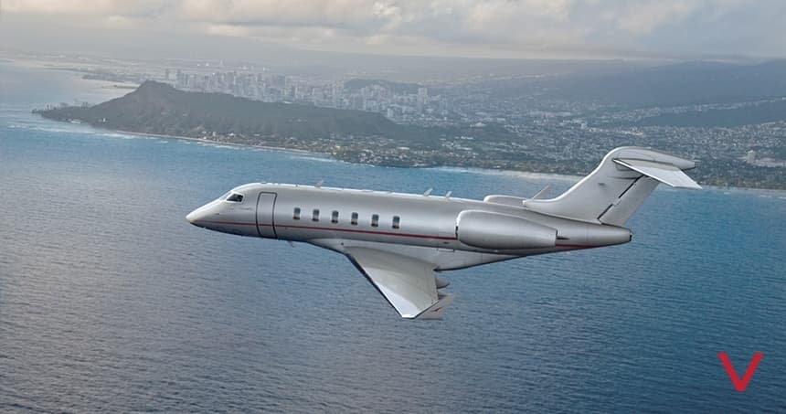 Tue, Nov 3TodayDohaOTBD · Doha International AirportDubaiOMDW · Al Maktoum International AirportChallenger 3508—On request3NovDoha → DubaiOTBD → OMDW · TodayChallenger 350 · 8 seatsOn request
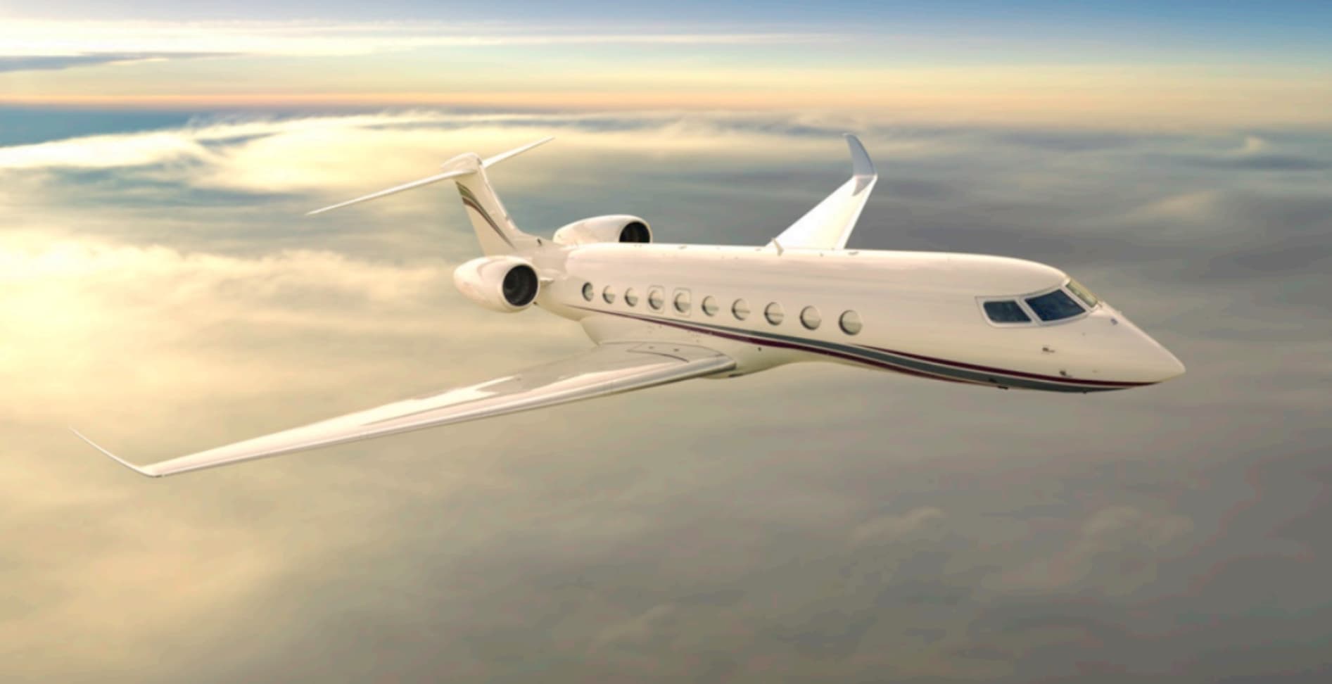 Tue, Nov 3TodayDohaOTBD · Doha International AirportSeoulRKSI · Incheon International AirportGulfstream G70013—On request3NovDoha → SeoulOTBD → RKSI · TodayGulfstream G700 · 13 seatsOn request
 Tue, Nov 3TodayDohaOTBD · Doha International AirportTokyoRJTT · Tokyo International AirportGulfstream G650ER13—On request3NovDoha → TokyoOTBD → RJTT · TodayGulfstream G650ER · 13 seatsOn request
- Tue, Nov 3TodayDohaOTBD · Doha International AirportGizaHESX · Sphinx International AirportBombardier Challenger 35083h 30m€13,7633NovDoha → GizaOTBD → HESX · TodayBombardier Challenger 350 · 8 seats · 3h 30m€13,763
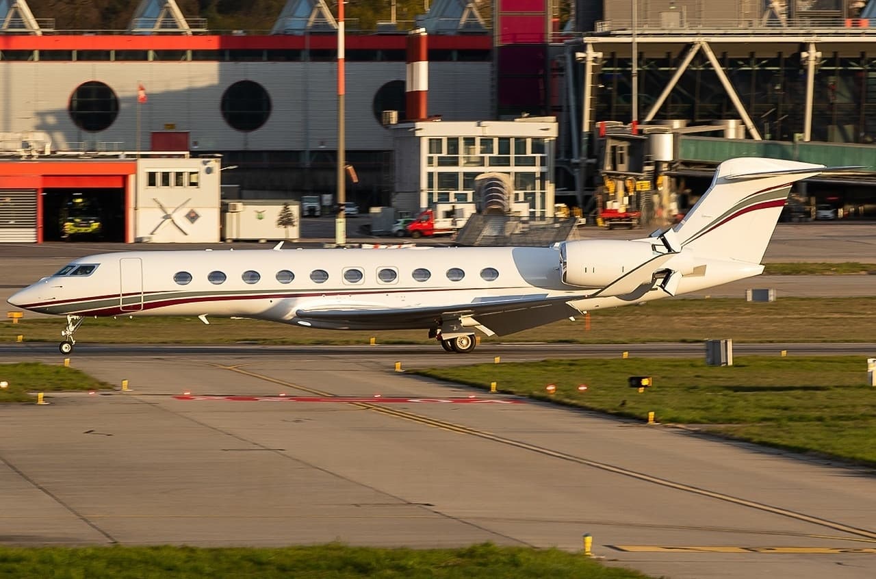 Wed, Nov 4TomorrowDohaOTBD · Doha International AirportDubaiOMDB · Dubai International AirportGulfstream G70013—On request4NovDoha → DubaiOTBD → OMDB · TomorrowGulfstream G700 · 13 seatsOn request
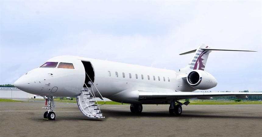 Wed, Nov 4TomorrowDohaOTBD · Doha International AirportKuwait CityOKKK · Kuwait International AirportGlobal 500013—$44,5504NovDoha → Kuwait CityOTBD → OKKK · TomorrowGlobal 5000 · 13 seats$44,550
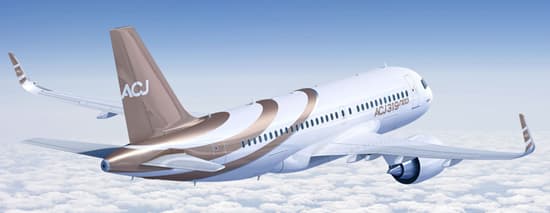 Wed, Nov 4TomorrowDohaOTBD · Doha International AirportKuala LumpurWMSA · Sultan Abdul Aziz Shah International AirportAirbus ACJ A31919—On request4NovDoha → Kuala LumpurOTBD → WMSA · TomorrowAirbus ACJ A319 · 19 seatsOn request
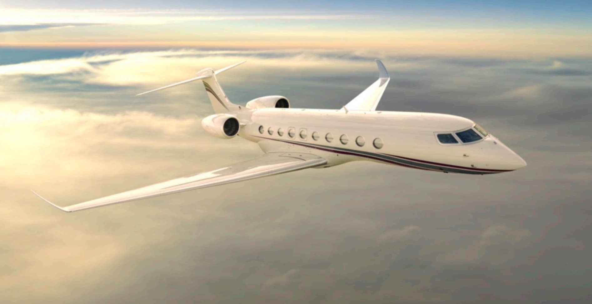 Thu, Nov 5in 2 daysDohaOTBD · Doha International AirportBaghdadORBI · Baghdad International AirportGulfstream G70013—On request5NovDoha → BaghdadOTBD → ORBI · in 2 daysGulfstream G700 · 13 seatsOn request
- Thu, Nov 519:05DohaOTBD · Doha International AirportNew DelhiVIDP · Indira Gandhi International AirportGulfstream GIV14—$30,4705NovDoha → New DelhiOTBD → VIDP · 19:05Gulfstream GIV · 14 seats$30,470
 OTBD · Doha International Airport
 OMDW · Al Maktoum International Airport
 RKSI · Incheon International Airport
 RJTT · Tokyo International Airport
 HESX · Sphinx International Airport
 OKKK · Kuwait International Airport
 WMSA · Sultan Abdul Aziz Shah International Airport
 ORBI · Baghdad International Airport
 VIDP · Indira Gandhi International Airport
* Total price incl. 10% service fee, converted to your selected currency. Price subject to operator confirmation.
Empty legs to OTBD
15 arrivals available
- Tue, Nov 3TodayShannonEINN · Shannon AirportDohaOTBD · Doha International AirportAirbus ACJ A31919—On request3NovShannon → DohaEINN → OTBD · TodayAirbus ACJ A319 · 19 seatsOn request
- Tue, Nov 3TodayLondonEGLF · Farnborough AirportDohaOTBD · Doha International AirportGulfstream G70013—On request3NovLondon → DohaEGLF → OTBD · TodayGulfstream G700 · 13 seatsOn request
- Wed, Nov 4TomorrowBaghdadORBI · Baghdad International AirportDohaOTBD · Doha International AirportGulfstream G70013—On request4NovBaghdad → DohaORBI → OTBD · TomorrowGulfstream G700 · 13 seatsOn request
 Wed, Nov 4TomorrowLagosDNMM · Murtala Muhammed International AirportDohaOTBD · Doha International AirportGulfstream G650ER13—On request4NovLagos → DohaDNMM → OTBD · TomorrowGulfstream G650ER · 13 seatsOn request
- Thu, Nov 5in 2 daysNew DelhiVIDP · Indira Gandhi International AirportDohaOTBD · Doha International AirportGulfstream G70013—On request5NovNew Delhi → DohaVIDP → OTBD · in 2 daysGulfstream G700 · 13 seatsOn request
 Fri, Nov 6in 3 daysDubaiOMDW · Al Maktoum International AirportDohaOTBD · Doha International AirportGlobal 800014—On request6NovDubai → DohaOMDW → OTBD · in 3 daysGlobal 8000 · 14 seatsOn request
- Sat, Nov 7in 4 daysAlmatyUAAA · Almaty AirportDohaOTBD · Doha International AirportAirbus ACJ A31919—On request7NovAlmaty → DohaUAAA → OTBD · in 4 daysAirbus ACJ A319 · 19 seatsOn request
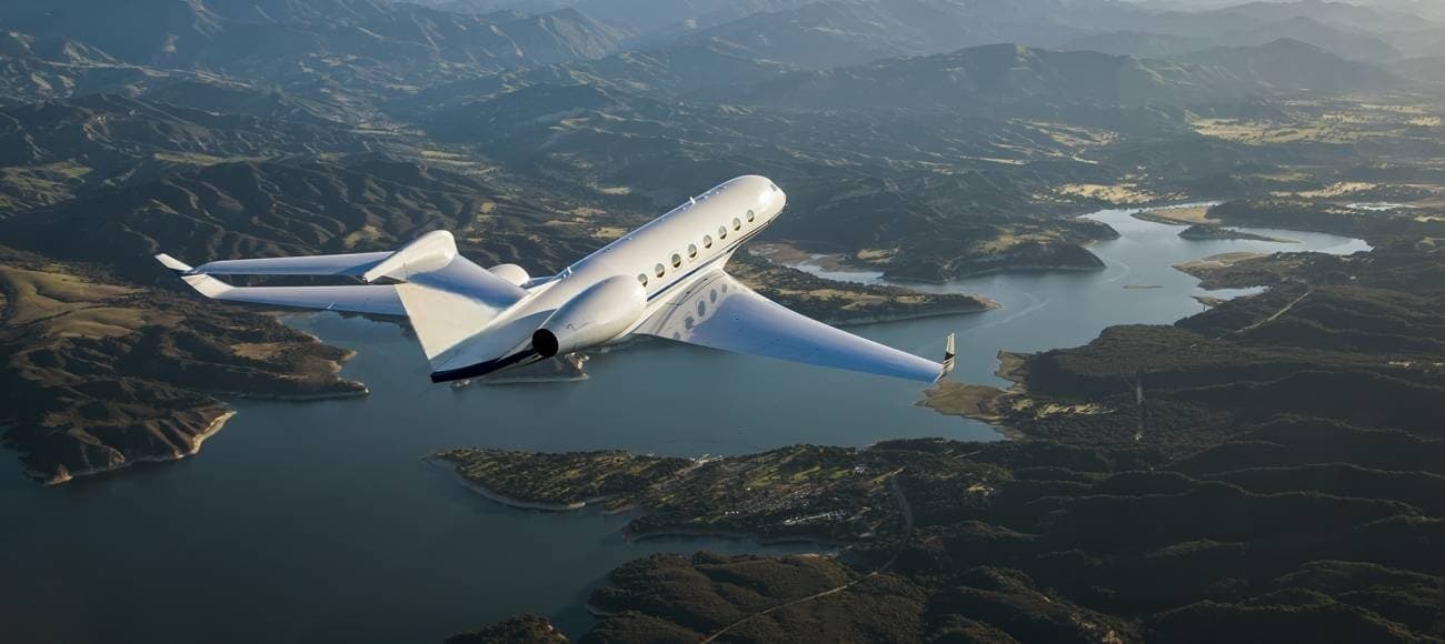 Sat, Nov 7in 4 daysJeddahOEJN · King Abdulaziz International AirportDohaOTBD · Doha International AirportGulfstream G650ER13—On request7NovJeddah → DohaOEJN → OTBD · in 4 daysGulfstream G650ER · 13 seatsOn request
- Sat, Nov 7in 4 daysBahrainOBBI · Bahrain International AirportDohaOTBD · Doha International AirportGulfstream G70013—On request7NovBahrain → DohaOBBI → OTBD · in 4 daysGulfstream G700 · 13 seatsOn request
 EINN · Shannon Airport
 EGLF · Farnborough Airport
 DNMM · Murtala Muhammed International Airport
 UAAA · Almaty Airport
 OEJN · King Abdulaziz International Airport
 OBBI · Bahrain International Airport
* Total price incl. 10% service fee, converted to your selected currency. Price subject to operator confirmation.
Map: Doha Airport
View the location of Doha – DIA/OTBD. Zoom in to explore the area around the airport.
About the airport
Doha International Airport (DIA/OTBD) is the key private jet gateway for Doha. PrivJet gives you instant access to charter flights and empty legs: fast, discreet and globally connected.
OTBD airport FAQ
Are there any restrictions at Doha airport (OTBD) today?
There are currently 16 valid NOTAMs for Doha (OTBD). Affected: Taxiway: closed. 3 more NOTAMs start in the coming days. For information only, not for flight planning or operational use. Always rely on an official pre-flight briefing. This list may be incomplete or out of date.
How long are the runways at Doha airport (OTBD)?
Doha (OTBD) has one runway: runway 15/33 with 4,572 m (15,000 ft), asphalt.
What are the radio frequencies at Doha airport (OTBD)?
Frequencies at OTBD: Tower 118.9 MHz, Ground 118.275 MHz and ATIS 126.45 MHz. For information only. Always rely on the published AIP.
What are the airport codes of Doha International Airport?
The ICAO code is OTBD and the IATA code is DIA. ICAO codes are used by air traffic control and pilots, e.g. in flight plans; IATA codes appear on tickets and baggage tags.
What is the elevation of OTBD airport?
Doha International Airport sits at 35 ft (11 m) above sea level. Local time zone: Asia/Qatar.
Can I fly to OTBD by private jet?
Whether a private jet can operate into Doha International Airport depends on runway length, opening hours, customs and immigration rules as well as slot and handling availability, among other things. PrivJet checks this with the operating carrier for every request.
Are there empty legs from or to OTBD?
There are currently 21 empty legs departing from and 15 arriving at Doha International Airport. Empty legs are repositioning flights at heavily reduced prices; the list is updated several times a day.