Hobart Airport (YMHB / HBA)
Empty legs and charters from Hobart
YMHB airport at a glance
- ICAO code
- YMHB
- IATA code
- HBA
- City
- Hobart
- Region
- Tasmania
- Country
- Australia
- Elevation
- 13 ft (4 m)
- Time zone
- Australia/Hobart (UTC+11)
- Coordinates
- 42.8361° S, 147.5100° E
- Empty legs from
- 1
- Empty legs to
- 0
Weather & airport info YMHB
Current weather
Marginal visual conditions (MVFR)observed 03 Nov, 18:30 UTC- Wind
- 4 kt (7 km/h) from northwest (320°)
- Visibility
- 10 km or more
- Clouds
- overcast at 2,500 ft
- Temperature
- 11 °C (dew point 10 °C)
- Pressure (QNH)
- 1,008 hPa
Original weather report (METAR)
METAR YMHB 031830Z AUTO 32004KT 9999 // OVC025 11/10 Q1008
Forecast (TAF)
- 03 Nov, 18:00–04:00 UTC6 kt (11 km/h) from north-northwest (330°) · visibility 10 km or more · few clouds at 3,000 ft
- 04 Nov, 04:00–12:00 UTCfrom12 kt (22 km/h) from south (180°) · visibility 10 km or more · Light rain showers · few clouds at 3,000 ft, scattered clouds at 4,000 ft
- 04 Nov, 12:00–18:00 UTCfrom5 kt (9 km/h) from west-northwest (300°) · visibility 10 km or more · no significant weather · few clouds at 4,000 ft
- 04 Nov, 06:00–09:00 UTCtemporarilyvisibility 5 km · Rain showers · few clouds at 1,500 ft, broken clouds at 2,500 ft
Original forecast (TAF)
TAF YMHB 031721Z 0318/0418 33006KT 9999 FEW030 FM040400 18012KT 9999 -SHRA FEW030 SCT040 FM041200 30005KT 9999 NSW FEW040 INTER 0406/0409 5000 SHRA FEW015 BKN025
Airport
- Elevation
- 13 ft (4 m)
- Sunrise / Sunset
- 05:51 / 19:55 local time
Runways
| Runway | Length | Surface | Lighted |
|---|---|---|---|
| 12/30 | 2,727 m (8,947 ft) | asphalt | yes |
Radio frequencies
- ATIS: 112.7
- CTAF: 118.1
- Tower: 118.1
For information only, not for flight planning. Weather can change quickly; always rely on official reports. Sources: aviationweather.gov (NOAA), OurAirports.
Airport map YMHB
Full screen →Runways white, taxiways yellow with designators, closed taxiways and runways per NOTAM in red.
Official charts
Aerodrome, approach and ground charts are published by the national air navigation service in its AIP:
Airservices Australia AIP →For information only, not for navigation. Always use current official charts and NOTAMs.
Current NOTAMs for YMHB(6)
NOTAMs (Notices to Air Missions) announce short-term changes at an airport: closed runways or taxiways, unserviceable approach aids, obstacles, airspace restrictions.
- Out of serviceObstacle lights: unserviceableH8844/26· until 11 Dec, 18:50 UTC (estimated)
The obstacle light on the control tower is out of service. The top of the control tower is 124 feet above sea level.
Show original text
OBST LGT (CONTROL TOWER) 124FT AMSL U/S PSN 425008S 1473006E BRG 274 MAG 703M FM ARP
H8844/26 NOTAMN
 Q) YMMM/QOLAS/IV/M/AE/000/999/4250S14731E005
 A) YMHB
 B) 2611031110 C) 2612111850 EST
 E) OBST LGT (CONTROL TOWER) 124FT AMSL U/S
 PSN 425008S 1473006E BRG 274 MAG 703M FM ARP
- NoticeInstrument approach procedure: changedF4244/26· from 03 Nov, 19:00 UTC · until 05 Nov, 07:00 UTC
The instrument landing system-Y runway 12 and instrument landing system-Z runway 12, as well as the localizer-Y runway 12 and localizer-Z runway 12, have amended instrument approach minima due to crane operations. The instrument landing system guides aircraft to the runway in poor visibility.
Show original text
AIP DEP AND APCH (DAP) YMHB AMD ILS-Y RWY 12 AND ILS-Z RWY 12 S-I ILS MINIMA CAT A-D 400 (388) 1.3 LOC-Y RWY 12 AND LOC-Z RWY 12 S-I LOC MINIMA CAT A-D 630 (617-2.7) DUE CRANE OPS SEPARATE NOTAM REFERS
F4244/26 NOTAMN
 Q) YMMM/QPICH/I/NBO/A/000/999/4250S14731E005
 A) YMHB
 B) 2611031900 C) 2611050700
 D) DAILY 1900-0700
 E) AIP DEP AND APCH (DAP) YMHB AMD
 ILS-Y RWY 12 AND ILS-Z RWY 12
 S-I ILS MINIMA CAT A-D 400 (388) 1.3
 LOC-Y RWY 12 AND LOC-Z RWY 12
 S-I LOC MINIMA CAT A-D 630 (617-2.7)
 DUE CRANE OPS SEPARATE NOTAM REFERS
Hours: DAILY 1900-0700
- NoticeObstacle: erectedH8971/26· from 03 Nov, 19:00 UTC · until 05 Nov, 07:00 UTC
Obstacle: crane (LIT) 299 ft above sea level ERECTED position a defined point APRX BRG 215 MAG 350M from ARP INFRINGES TRANSITIONAL surface by 144 ft REFER METHOD of working PLAN (MOWP) YMHB 2507 AMD.06
Show original text
OBST CRANE (LIT) 299FT AMSL ERECTED PSN 425017.65S 1473024.31E APRX BRG 215 MAG 350M FM ARP INFRINGES TRANSITIONAL SFC BY 144FT REFER METHOD OF WORKING PLAN (MOWP) YMHB 2507 AMD.06
H8971/26 NOTAMN
 Q) YMMM/QOBCE/IV/M/AE/000/999/4250S14731E005
 A) YMHB
 B) 2611031900 C) 2611050700
 D) DAILY 1900-0700
 E) OBST CRANE (LIT) 299FT AMSL ERECTED
 PSN 425017.65S 1473024.31E APRX BRG 215 MAG 350M FM ARP
 INFRINGES TRANSITIONAL SFC BY 144FT
 REFER METHOD OF WORKING PLAN (MOWP) YMHB 2507 AMD.06
Hours: DAILY 1900-0700
- NoticeNoise operating restriction: changedF3893/26· permanent
Noise abatement procedures for arriving aircraft at Hobart Airport have been amended. For landings on runway 30, before 08:00 local time and after 14:00 local time, aircraft can expect processing via RNP Z or RNP M approach only.
Show original text
NOISE ABATEMENT PROCEDURES AMD CHANGE THE FLW: 2. ARRIVING AIRCRAFT DURING APPROACH HOURS OF OPERATION B ) LANDING RWY 30 I ) PRIOR TO 0800 LOCAL AIRCRAFT ARRIVING AT HOBART CAN EXPECT PROCESSING VIA RNP Z OR RNP M APPROACH ONLY. II) BETWEEN 0800 AND 1400 LOCAL NO SPECIFIC PROCEDURES APPLY. III) AFTER 1400 LOCAL AIRCRAFT ARRIVING AT HOBART CAN EXPECT PROCESSING VIA RNP Z OR RNP M APPROACH ONLY. AMD DEPARTURE AND APPROACH PROCEDURES ( DAP ))
(F3893/26 NOTAMN Q) YMMM/QPNCH/IV/NBO/A/000/999/4250S14731E005 A) YMHB B) 2610060704 C) PERM E) NOISE ABATEMENT PROCEDURES AMD CHANGE THE FLW: 2. ARRIVING AIRCRAFT DURING APPROACH HOURS OF OPERATION B ) LANDING RWY 30 I ) PRIOR TO 0800 LOCAL AIRCRAFT ARRIVING AT HOBART CAN EXPECT PROCESSING VIA RNP Z OR RNP M APPROACH ONLY. II) BETWEEN 0800 AND 1400 LOCAL NO SPECIFIC PROCEDURES APPLY. III) AFTER 1400 LOCAL AIRCRAFT ARRIVING AT HOBART CAN EXPECT PROCESSING VIA RNP Z OR RNP M APPROACH ONLY. AMD DEPARTURE AND APPROACH PROCEDURES ( DAP ))
- NoticeFire and rescue: hours of service are nowF3870/26· permanent
The airport's rescue and firefighting services have amended their operating hours. Category 7 is available Sunday to Friday from 19:45 to 13:45, and Saturday from 19:45 to 11:25, with all times one hour earlier during daylight saving.
Show original text
RESCUE AND FIREFIGHTING SERVICES AMD CHANGE THE FLW: 1. CAT 7: SUN-FRI 1945-1345 SAT 1945-1125 ALL TIMES 1HR EARLIER DURING HR OF DAYLIGHT SAVING (HDS) AMD ENR SUP AUSTRALIA (ERSA)
F3870/26 NOTAMR F3869/26
 Q) YMMM/QFFAH/IV/BO/A/000/999/4250S14731E005
 A) YMHB
 B) 2610040350 C) PERM
 E) RESCUE AND FIREFIGHTING SERVICES AMD
 CHANGE THE FLW:
 1. CAT 7:
 SUN-FRI 1945-1345
 SAT     1945-1125
 ALL TIMES 1HR EARLIER DURING HR OF DAYLIGHT SAVING (HDS)
 AMD ENR SUP AUSTRALIA (ERSA)
- NoticeUnmanned aircraft: will take placeF3769/26· until 21 Dec, 00:00 UTC (estimated)
Unmanned aircraft operations will take place within a 3 nautical mile radius of YMHB airport. This is a remotely piloted aircraft system activity associated with automated airspace authorizations.
Show original text
UA OPS WILL TAKE PLACE WI 3NM RADIUS OF ARP REMOTELY PILOTED AIRCRAFT SYSTEM ACTIVITY ASSOCIATED WITH AUTOMATED AIRSPACE AUTHORISATIONS CTC AIRSERVICES AUSTRALIA EMAIL: AAA(AT)AIRSERVICESAUSTRALIA.COM
F3769/26 NOTAMN
 Q) YMMM/QWULW/IV/BO/AW/000/004/4250S14731E005
 A) YMHB
 B) 2610010000 C) 2612210000 EST
 D) HJ
 E) UA OPS WILL TAKE PLACE WI 3NM RADIUS OF ARP
 REMOTELY PILOTED AIRCRAFT SYSTEM ACTIVITY ASSOCIATED WITH AUTOMATED
 AIRSPACE AUTHORISATIONS
 CTC AIRSERVICES AUSTRALIA EMAIL: AAA(AT)AIRSERVICESAUSTRALIA.COM
 F) SFC G) 400FT AGL
Hours: HJ
For information only, not for flight planning or operational use. Always rely on an official pre-flight briefing. This list may be incomplete or out of date. Explanations and expanded abbreviations are generated automatically. The original text is authoritative. Source: FAA NOTAM Management Service (SWIM).
Private jet traffic in Hobart International Airport (last 30 days)
- Arrivals
- 49
- Departures
- 54
- Different jets
- 17
Most frequent origins: Wynyard Airport (13), Launceston Airport (12), Melbourne Essendon Airport (5).
Most frequent destinations: Launceston Airport (30), Melbourne Essendon Airport (6), Devonport Airport (3), King Island Airport (3).
Most common aircraft types: Beechcraft King Air 200/250 (41), Beechcraft King Air 350 (33), Pilatus PC-12 (6), Cessna Citation CJ2 (4), Cessna Citation Mustang (3).
Tuesday is the busiest day.
Our own analysis of public ADS-B signals from business jets. Not every flight is received, and jets with a removal request are excluded.
Empty legs from YMHB
1 departures available
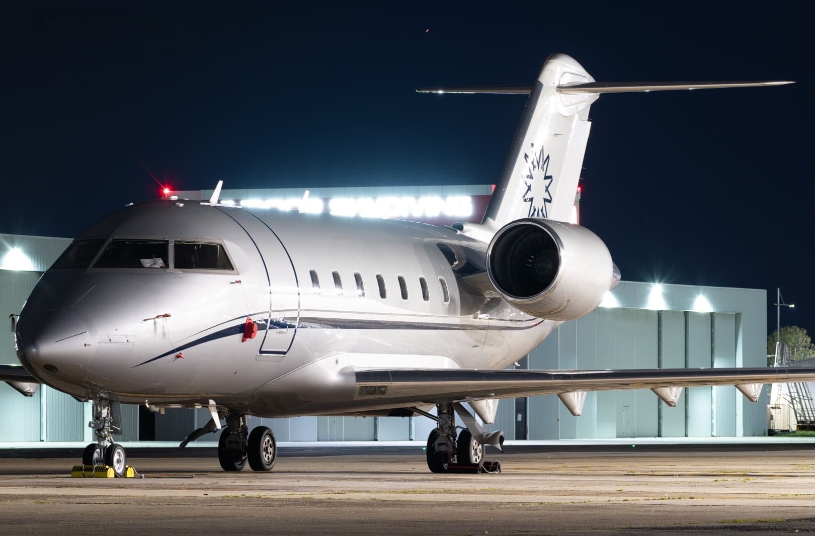
 YMHB · Hobart International Airport
* Total price incl. 10% service fee, converted to your selected currency. Price subject to operator confirmation.
Empty legs to YMHB
0 arrivals available
No empty legs are currently available arriving at this airport.
Request tailored flightMap: Hobart Airport
View the location of Hobart – HBA/YMHB. Zoom in to explore the area around the airport.
About the airport
Hobart International Airport (HBA/YMHB) is the key private jet gateway for Hobart. PrivJet gives you instant access to charter flights and empty legs: fast, discreet and globally connected.
YMHB airport FAQ
Are there any restrictions at Hobart airport (YMHB) today?
There are currently 4 valid NOTAMs for Hobart (YMHB). Affected: Obstacle lights: unserviceable. 2 more NOTAMs start in the coming days. For information only, not for flight planning or operational use. Always rely on an official pre-flight briefing. This list may be incomplete or out of date.
What is the weather at Hobart airport (YMHB)?
According to the latest weather report for YMHB (METAR, 03 Nov, 18:30 UTC): Marginal visual conditions (MVFR). Wind 4 kt (7 km/h) from northwest (320°), visibility 10 km or more, temperature 11 °C (dew point 10 °C). For information only, not for flight planning. Weather can change quickly; always rely on official reports.
How long are the runways at Hobart airport (YMHB)?
Hobart (YMHB) has one runway: runway 12/30 with 2,727 m (8,947 ft), asphalt.
What are the radio frequencies at Hobart airport (YMHB)?
Frequencies at YMHB: Tower 118.1 MHz and ATIS 112.7 MHz. For information only. Always rely on the published AIP.
What are the airport codes of Hobart International Airport?
The ICAO code is YMHB and the IATA code is HBA. ICAO codes are used by air traffic control and pilots, e.g. in flight plans; IATA codes appear on tickets and baggage tags.
What is the elevation of YMHB airport?
Hobart International Airport sits at 13 ft (4 m) above sea level. Local time zone: Australia/Hobart.
Can I fly to YMHB by private jet?
Whether a private jet can operate into Hobart International Airport depends on runway length, opening hours, customs and immigration rules as well as slot and handling availability, among other things. PrivJet checks this with the operating carrier for every request.
Are there empty legs from or to YMHB?
There are currently 1 empty legs departing from and 0 arriving at Hobart International Airport. Empty legs are repositioning flights at heavily reduced prices; the list is updated several times a day.