Brussels Airport (EBBR / BRU)
Empty legs and charters from Brussels
EBBR airport at a glance
- ICAO code
- EBBR
- IATA code
- BRU
- City
- Brussels
- Region
- Flanders
- Country
- Belgium
- Elevation
- 184 ft (56 m)
- Time zone
- Europe/Brussels (UTC+1)
- Coordinates
- 50.9014° N, 4.4844° E
- Empty legs from
- 32
- Empty legs to
- 18
Private jet terminal & FBOs at Brussels
- ExecuJet Brussels FBO (Luxaviation, Building 28)Brussels Airport, Building 28, B-1930 Zaventem, Belgium
- Brussels Airport General Aviation Terminal (AviaVIP)Brussels Airport, Ringweg 36C, B-1930 Zaventem, Belgium
Weather & airport info EBBR
Current weather
Poor visibility, instrument conditions (IFR)observed 02 Nov, 23:20 UTC- Wind
- 4 kt (7 km/h) from north-northeast (30°)
- Visibility
- 10 km or more
- Clouds
- broken clouds at 900 ft
- Temperature
- 7 °C (dew point 7 °C)
- Pressure (QNH)
- 1,030 hPa
Original weather report (METAR)
METAR EBBR 022320Z COR 03004KT 9999 BKN009 07/07 Q1030 NOSIG
Forecast (TAF)
- 03 Nov, 00:00–06:00 UTC7 kt (13 km/h) from northeast (40°) · visibility 10 km or more · broken clouds at 2,000 ft
- 03 Nov, 00:00–09:00 UTCbecoming7 kt (13 km/h) from northeast (40°) · visibility 4 km · Mist · broken clouds at 600 ft
- 03 Nov, 00:00–09:00 UTCpossible, 40 % probabilityvisibility 2 km · Light drizzle · scattered clouds at 200 ft, broken clouds at 300 ft
- 03 Nov, 01:00–09:00 UTCtemporarily, 30 % probabilityvisibility 1.2 km · Drizzle
- 03 Nov, 09:00–04:00 UTCbecoming7 kt (13 km/h) from northeast (40°) · visibility 10 km or more · no significant weather · scattered clouds at 2,000 ft
Original forecast (TAF)
TAF EBBR 022300Z 0300/0406 04007KT 9999 BKN020 BECMG 0300/0301 4000 BR BKN006 PROB40 0300/0309 2500 -DZ SCT002 BKN003 PROB30 TEMPO 0301/0309 1200 DZ BECMG 0309/0311 9999 NSW SCT020 BECMG 0404/0406 3000 BR SCT004 BKN006
Airport
- Elevation
- 175 ft (53 m)
- Sunrise / Sunset
- 07:36 / 17:14 local time
Runways
| Runway | Length | Surface | Lighted |
|---|---|---|---|
| 07L/25R | 3,638 m (11,936 ft) | asphalt | yes |
| 07R/25L | 3,211 m (10,535 ft) | asphalt | yes |
| 01/19 | 2,987 m (9,800 ft) | asphalt | yes |
Radio frequencies
- Approach: 118.255
- ATIS: 121.755
- ATIS: 132.475
- Clearance: 121.95
- Ground: 118.055
- Ground: 121.88
- Tower: 118.605
- Tower: 120.78
For information only, not for flight planning. Weather can change quickly; always rely on official reports. Sources: aviationweather.gov (NOAA), OurAirports.
Airport map EBBR
Full screen →Runways white, taxiways yellow with designators, closed taxiways and runways per NOTAM in red.
Closed per NOTAM: TWY F4, TWY F5, TWY W21, TWY W22, TWY W3, TWY W4, TWY W41, TWY W42
Official charts
Aerodrome, approach and ground charts are published by the national air navigation service in its AIP:
skeyes eAIP (Belgien/Luxemburg) →For information only, not for navigation. Always use current official charts and NOTAMs.
Current NOTAMs for EBBR(17)
NOTAMs (Notices to Air Missions) announce short-term changes at an airport: closed runways or taxiways, unserviceable approach aids, obstacles, airspace restrictions.
- ClosedTaxiway: closedA4065/26· until 03 Nov, 17:00 UTC
Taxiways F4, F5, W21, W22, W3, W4, W41 and W42 are closed due to work in progress.
Show original text
TWY F4, F5, W21, W22, W3, W4, W41 AND W42 CLSD DUE TO WIP
A4065/26 NOTAMR A3860/26
 Q) EBBU/QMXLC/IV/BO /A /000/999/5054N00429E005
 A) EBBR B) 2610311115 C) 2611031700
 E) TWY F4, F5, W21, W22, W3, W4, W41 AND W42 CLSD DUE TO WIP
- Out of serviceTaxiway edge lights: unserviceableA4059/26· until 06 Nov, 22:59 UTC
The edge lights for taxiways E4, INN-8, INN-9, W4, W41, and W42 are out of service. This may affect the visibility of these taxiways.
Show original text
TWY E4, INN-8, INN-9, W4, W41 AND W42 EDGE LIGHTS U/S
A4059/26 NOTAMN
 Q) EBBU/QLYAS/IV/M  /A /000/999/5054N00429E005
 A) EBBR B) 2610310615 C) 2611062259
 E) TWY E4, INN-8, INN-9, W4, W41 AND W42 EDGE LIGHTS U/S
- Out of serviceTaxiwayA4060/26· until 06 Nov, 22:59 UTC
The indication panels for taxiways E4, W4, INN-8, INN-9, OUT-8, and OUT-9 are out of service. This might make navigation on the airport more difficult.
Show original text
TWY E4, W4, INN-8, INN-9, OUT-8 AND OUT-9 INDICATION PANELS U/S
A4060/26 NOTAMR A3589/26
 Q) EBBU/QMXXX/IV/M  /A /000/999/5054N00429E005
 A) EBBR B) 2610310615 C) 2611062259
 E) TWY E4, W4, INN-8, INN-9, OUT-8 AND OUT-9 INDICATION PANELS U/S
- Out of serviceWind indicator: unserviceableA3721/26· until 31 Dec, 22:59 UTC
The wind direction indicator (WDI) for runway 07L is not available. Pilots will need to determine wind direction and speed using other means.
Show original text
RWY 07L WDI NOT AVBL
A3721/26 NOTAMR A3644/26
 Q) EBBU/QFWAS/IV/M  /A /000/999/5054N00429E005
 A) EBBR B) 2610111855 C) 2612312259
 E) RWY 07L WDI NOT AVBL
- Out of serviceInstrument approach procedure: not availableD0525/26· until 31 Dec, 20:00 UTC (estimated)
The VOR approach for runway 07L is not available. A VOR is a navigation system that helps aircraft determine their position and fly to an airport.
Show original text
IAP VOR RWY 07L NOT AVBL
D0525/26 NOTAMR D0351/26
 Q) EBBU/QPIAU/I /NBO/A /000/999/5054N00429E005
 A) EBBR B) 2609290848 C) 2612312000EST
 E) IAP VOR RWY 07L NOT AVBL
- NoticeAircraft stand: limited toA4069/26· until 27 Mar, 22:59 UTC
Aircraft stand 400,402,404 HANDLING only ALLOWED by DAY
Show original text
ACFT STAND 400,402,404 HANDLING ONLY ALLOWED BY DAY
A4069/26 NOTAMN
 Q) EBBU/QMPLT/IV/M  /A /000/999/5054N00429E005
 A) EBBR B) 2611010620 C) 2703272259
 E) ACFT STAND 400,402,404 HANDLING ONLY ALLOWED BY DAY
- NoticeRunway: limited toA4062/26· until 03 Nov, 17:00 UTC
For takeoffs from runway 25R, starting from intersection B1, the available takeoff run is 3266 meters.
Show original text
RWY 25R TKOF FM INT B1, TORA 3266M
A4062/26 NOTAMR A3857/26
 Q) EBBU/QMRLT/IV/NBO/A /000/999/5054N00429E005
 A) EBBR B) 2610311115 C) 2611031700
 E) RWY 25R TKOF FM INT B1, TORA 3266M
- NoticeRunway: limited toA4063/26· until 03 Nov, 17:00 UTC
Aircraft landing on runway 07L must exit via taxiway B1 at the latest. If your destination is EBMB, you may use taxiway A1 instead. Contact air traffic control prior to landing if this is not possible.
Show original text
RWY 07L TO BE VACATED VIA B1 (OR A1 IN CASE OF DESTINATION EBMB) AT THE LATEST. IF UNA CTC ATC PRIOR LDG
A4063/26 NOTAMR A3858/26
 Q) EBBU/QMRLT/IV/NBO/A /000/999/5054N00429E005
 A) EBBR B) 2610311115 C) 2611031700
 E) RWY 07L TO BE VACATED VIA B1 (OR A1 IN CASE OF DESTINATION EBMB)
 AT THE LATEST. IF UNA CTC ATC PRIOR LDG
9 more NOTAMs
- NoticeObstacle: erectedA4064/26· until 03 Nov, 17:00 UTC
MOV obstacle UP to 36 ft above ground / 155 ft above sea level LOCATED as from 150M east of runway 01/19 AXIS between taxiway F4 and taxiway F5 except in category II/III operations. ICAO DAY MARKING available
Show original text
MOV OBST UP TO 36FT AGL/155FT AMSL LOCATED AS FM 150M EAST OF RWY 01/19 AXIS BTN TWY F4 AND TWY F5 EXC IN CAT II/III OPS. ICAO DAY MARKING AVBL
A4064/26 NOTAMR A3859/26
 Q) EBBU/QOBCE/IV/M  /A /000/999/5054N00429E005
 A) EBBR B) 2610311115 C) 2611031700
 D) DAILY 0500-1700
 E) MOV OBST UP TO 36FT AGL/155FT AMSL LOCATED AS FM 150M EAST OF RWY
 01/19 AXIS BTN TWY F4 AND TWY F5 EXC IN CAT II/III OPS. ICAO DAY
 MARKING AVBL
Hours: DAILY 0500-1700
- NoticeObstacle clearance altitude: changedD0596/26· until 04 Nov, 17:00 UTC
The minimum height for the Instrument Landing System (ILS CAT I) approach to runway 19 has been increased to 339 feet for aircraft categories A, B, C, D, DL. The Instrument Landing System (ILS) guides aircraft to the runway in poor visibility.
Show original text
IAP ILS CAT I RWY 19 INCREASED OCA CAT A, B, C, D, DL: 339FT
D0596/26 NOTAMR D0571/26
 Q) EBBU/QPOCH/I /NBO/A /000/999/5054N00429E005
 A) EBBR B) 2610301656 C) 2611041700
 D) OCT 30 - NOV 04 DAILY 0500-1700
 E) IAP ILS CAT I RWY 19 INCREASED OCA CAT A, B, C, D, DL: 339FT
Hours: OCT 30 - NOV 04 DAILY 0500-1700
- NoticeObstacle clearance altitude: changedD0595/26· until 04 Nov, 17:00 UTC
The minimum height for the RNP approach to runway 19 has been increased to 339 feet for aircraft categories A, B, C, D, DL. RNP approaches use satellite navigation for precise flight paths.
Show original text
IAP RNP RWY 19 INCREASED OCA CAT A, B, C, D, DL: 339FT
D0595/26 NOTAMR D0568/26
 Q) EBBU/QPOCH/I /NBO/A /000/999/5054N00429E005
 A) EBBR B) 2610301647 C) 2611041700
 D) OCT 30 - NOV 04 DAILY 0500-1700
 E) IAP RNP RWY 19 INCREASED OCA CAT A, B, C, D, DL: 339FT
Hours: OCT 30 - NOV 04 DAILY 0500-1700
- Out of serviceInstrument approach procedure: not availableV0930/26· until 26 Nov, 22:01 UTC
The Standard Instrument Arrival (RNAV STAR) route FLO 2E for runway 01 at Brussels National airport is not authorized and must not be used.
Show original text
[US DOD PROCEDURAL NOTAM] STANDARD INSTRUMENT ARRIVAL (STAR) NOT AUTHORIZED RNAV STAR RWY 01 (ANT 2E, DIK 3E, FLO 2E, KERKY 2E, REMBA 2E) ROUTE FLO 2E NOT AUTHORIZED. DO NOT USE.
V0930/26 NOTAMN
Q) EBBU/QPIAU/I/BO/A/000/999/5053N00429E005
A) EBBR
B) 2610282159
C) 2611262201
E) [US DOD PROCEDURAL NOTAM] STANDARD INSTRUMENT ARRIVAL (STAR) NOT AUTHORIZED RNAV STAR RWY 01 (ANT 2E, DIK 3E, FLO 2E, KERKY 2E, REMBA 2E) ROUTE FLO 2E NOT AUTHORIZED. DO NOT USE.
- NoticeInstrument approach procedure: changedV0953/26· until 30 Mar, 22:01 UTC
The minimums for the RNP RWY 07L instrument approach procedure have been increased. When the approach lighting system is out of service, the runway visual range or visibility must be increased for all aircraft categories.
Show original text
[US DOD PROCEDURAL NOTAM] INSTRUMENT APPROACH PROCEDURE AMENDMENT RNP RWY 07L INCREASE LPV MINIMA: CAT A 428/750M 307 (300-800M); CAT B 438/750M 317 (300-800M); CAT C 447/800M 326 (300-800M); CAT D 457/800M 336 (300-800M). INCREASE LNAV/VNAV MINIMA: CAT A 456/800M 335 (300-800M); CAT B 466/900M 345 (300-900M); CAT C 475/900M 354 (300-900M); CAT D 485/1000M 364 (400-1000M). CHANGE ALS INOP NOTE *: WHEN ALS INOP, INCREASE CAT AB RVR/VIS TO 1400M; CAT CD RVR/VIS TO 1500M. CHANGE ALS INOP NOTE **: WHEN ALS INOP, INCREASE CAT A RVR/VIS TO 1500M; CAT BC RVR/VIS TO 1600M; CAT D RVR/VIS TO 1700M.
V0953/26 NOTAMN
Q) EBBU/QPICH/I/BO/A/000/999/5053N00429E005
A) EBBR
B) 2610282159
C) 2703302201
E) [US DOD PROCEDURAL NOTAM] INSTRUMENT APPROACH PROCEDURE AMENDMENT RNP RWY 07L INCREASE LPV MINIMA: CAT A 428/750M 307 (300-800M); CAT B 438/750M 317 (300-800M); CAT C 447/800M 326 (300-800M); CAT D 457/800M 336 (300-800M). INCREASE LNAV/VNAV MINIMA: CAT A 456/800M 335 (300-800M); CAT B 466/900M 345 (300-900M); CAT C 475/900M 354 (300-900M); CAT D 485/1000M 364 (400-1000M). CHANGE ALS INOP NOTE *: WHEN ALS INOP, INCREASE CAT AB RVR/VIS TO 1400M; CAT CD RVR/VIS TO 1500M. CHANGE ALS INOP NOTE **: WHEN ALS INOP, INCREASE CAT A RVR/VIS TO 1500M; CAT BC RVR/VIS TO 1600M; CAT D RVR/VIS TO 1700M.
- NoticeObstacle clearance altitude: changedD0587/26· until 28 Mar, 08:00 UTC (estimated)
The minimum altitude for the approach to runway 07L at Brussels airport has been increased for different aircraft categories: Category A to 428 feet, B to 438 feet, C to 447 feet, and D to 457 feet.
Show original text
IAP RNP RWY07L LPV INCREASED OCA CAT A: 428FT, CAT B: 438FT, CAT C: 447FT, CAT D: 457FT
D0587/26 NOTAMR D0576/26
 Q) EBBU/QPOCH/I /NBO/A /000/999/5054N00429E005
 A) EBBR B) 2610261102 C) 2703280800EST
 D) DAILY 1600-0800
 E) IAP RNP RWY07L LPV INCREASED OCA CAT A: 428FT, CAT B: 438FT, CAT
 C: 447FT, CAT D: 457FT
Hours: DAILY 1600-0800
- NoticeObstacle clearance altitude: changedD0577/26· until 28 Mar, 08:00 UTC (estimated)
For the instrument approach RNP RWY07L LNAV/VNAV to runway 07L, the minimum height for the final approach (OCA) has been increased: for category A to 428 feet, for category B to 438 feet, for category C to 447 feet, and for category D to 457 feet.
Show original text
IAP RNP RWY07L LNAV/VNAV INCREASED OCA CAT A: 428FT, CAT B: 438FT, CAT C: 447FT, CAT D: 457FT.
D0577/26 NOTAMN
 Q) EBBU/QPOCH/I /NBO/A /000/999/5054N00429E005
 A) EBBR B) 2610251600 C) 2703280800EST
 D) DAILY 1600-0800
 E) IAP RNP RWY07L LNAV/VNAV INCREASED OCA CAT A: 428FT, CAT B:
 438FT, CAT C: 447FT, CAT D: 457FT.
Hours: DAILY 1600-0800
- NoticeObstacle clearance altitude: changedD0578/26· until 28 Mar, 16:00 UTC (estimated)
Instrument approach procedure RNP runway 07L LNAV/VNAV INCREASED OCA category A: 456 ft, category B: 466 ft, category C: 475 ft, category D: 485 ft. instrument approach procedure RNP runway 07L LPV INCREASED OCA category A: 456 ft, category B: 466 ft, category C: 475 ft, category D: 485 ft
Show original text
IAP RNP RWY07L LNAV/VNAV INCREASED OCA CAT A: 456FT, CAT B: 466FT, CAT C: 475FT, CAT D: 485FT. IAP RNP RWY07L LPV INCREASED OCA CAT A: 456FT, CAT B: 466FT, CAT C: 475FT, CAT D: 485FT
D0578/26 NOTAMN
 Q) EBBU/QPOCH/I /NBO/A /000/999/5054N00429E005
 A) EBBR B) 2610250800 C) 2703281600EST
 D) DAILY 0800-1600
 E) IAP RNP RWY07L LNAV/VNAV INCREASED OCA CAT A: 456FT, CAT B:
 466FT, CAT C: 475FT, CAT D: 485FT.
 IAP RNP RWY07L LPV INCREASED OCA CAT A: 456FT, CAT B: 466FT, CAT C:
 475FT, CAT D: 485FT
Hours: DAILY 0800-1600
- NoticeObstacle: erectedA3742/26· until 23 Dec, 21:59 UTC
A fixed crane is located near the airport. Its top is 302 feet above sea level, 99 feet above ground, and it has ICAO day and night marking installed.
Show original text
FIXED CRANE 505226N 0042950E 302FT AMSL/99FT AGL . ICAO DAY AND NIGHT MARKING INSTALLED)
A3742/26 NOTAMN
 Q) EBBU/QOBCE/IV/M  /AE/000/023/5052N00430E001
 A) EBBR B) 2610130600 C) 2612232159
 E) FIXED CRANE 505226N 0042950E 302FT AMSL/99FT AGL . ICAO DAY AND
 NIGHT MARKING INSTALLED)
For information only, not for flight planning or operational use. Always rely on an official pre-flight briefing. This list may be incomplete or out of date. Explanations and expanded abbreviations are generated automatically. The original text is authoritative. Source: FAA NOTAM Management Service (SWIM).
Private jet traffic in Brussels Airport (last 30 days)
- Arrivals
- 333
- Departures
- 333
- Different jets
- 242
Most frequent origins: Geneva Cointrin International Airport (17), Paris-Le Bourget Airport (16), Barcelona International Airport (10), Linate Airport (10), Farnborough Airport (8).
Most frequent destinations: Paris-Le Bourget Airport (19), Geneva Cointrin International Airport (16), Linate Airport (8), Luxembourg-Findel International Airport (8), Farnborough Airport (7).
Most common aircraft types: Embraer Phenom 300 (60), Pilatus PC-12 (47), Cessna Citation Excel/XLS (44), Pilatus PC-24 (39), Cessna Citation CJ4 (37).
Monday is the busiest day.
Our own analysis of public ADS-B signals from business jets. Not every flight is received, and jets with a removal request are excluded.
Charter operators based here
Operators with a base at this airport.
- JetNetherlandsAntwerp International (EBAW) · Midsize jet, Super midsize jet, Heavy jet
- JetHouseHeavy jet
Empty legs from EBBR
32 departures available
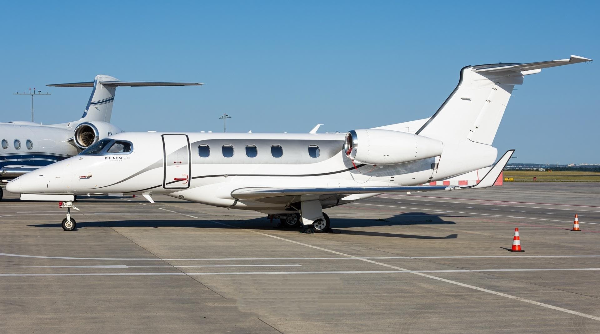 Tue, Nov 3TodayBrusselsEBBR · Brussels AirportMunichEDMO · Oberpfaffenhofen AirportPhenom 3007—On request3NovBrussels → MunichEBBR → EDMO · TodayPhenom 300 · 7 seatsOn request
- Tue, Nov 3TodayBrusselsEBBR · Brussels NationalIzmirLTBJ · Adnan MenderesEmbraer Legacy 450——On request3NovBrussels → IzmirEBBR → LTBJ · TodayEmbraer Legacy 450On request
- Wed, Nov 423:00BrusselsEBBR · Brussels NationalPragueLKPR · RuzyneGlobal 6000——On request4NovBrussels → PragueEBBR → LKPR · 23:00Global 6000On request
- Wed, Nov 423:50ZaventemEBBR · Brussels AirportPragueLKPR · Vaclav Havel Airport PragueBombardier Global 600014—$9,0204NovZaventem → PragueEBBR → LKPR · 23:50Bombardier Global 6000 · 14 seats$9,020
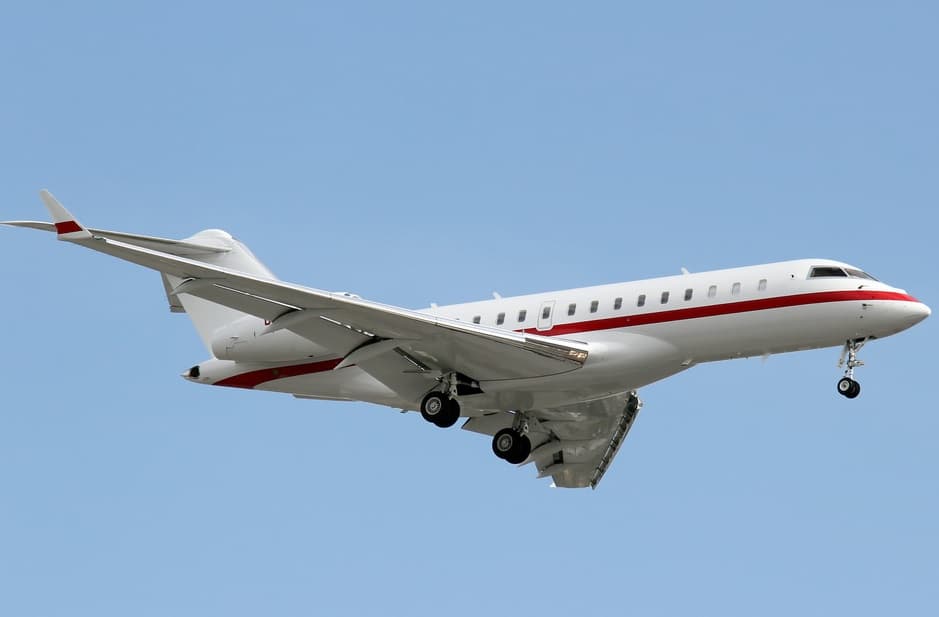 Thu, Nov 5in 2 daysBrusselsEBBR · Brussels AirportParisLFPB · Paris-Le Bourget AirportGlobal Express XRS12—On request5NovBrussels → ParisEBBR → LFPB · in 2 daysGlobal Express XRS · 12 seatsOn request
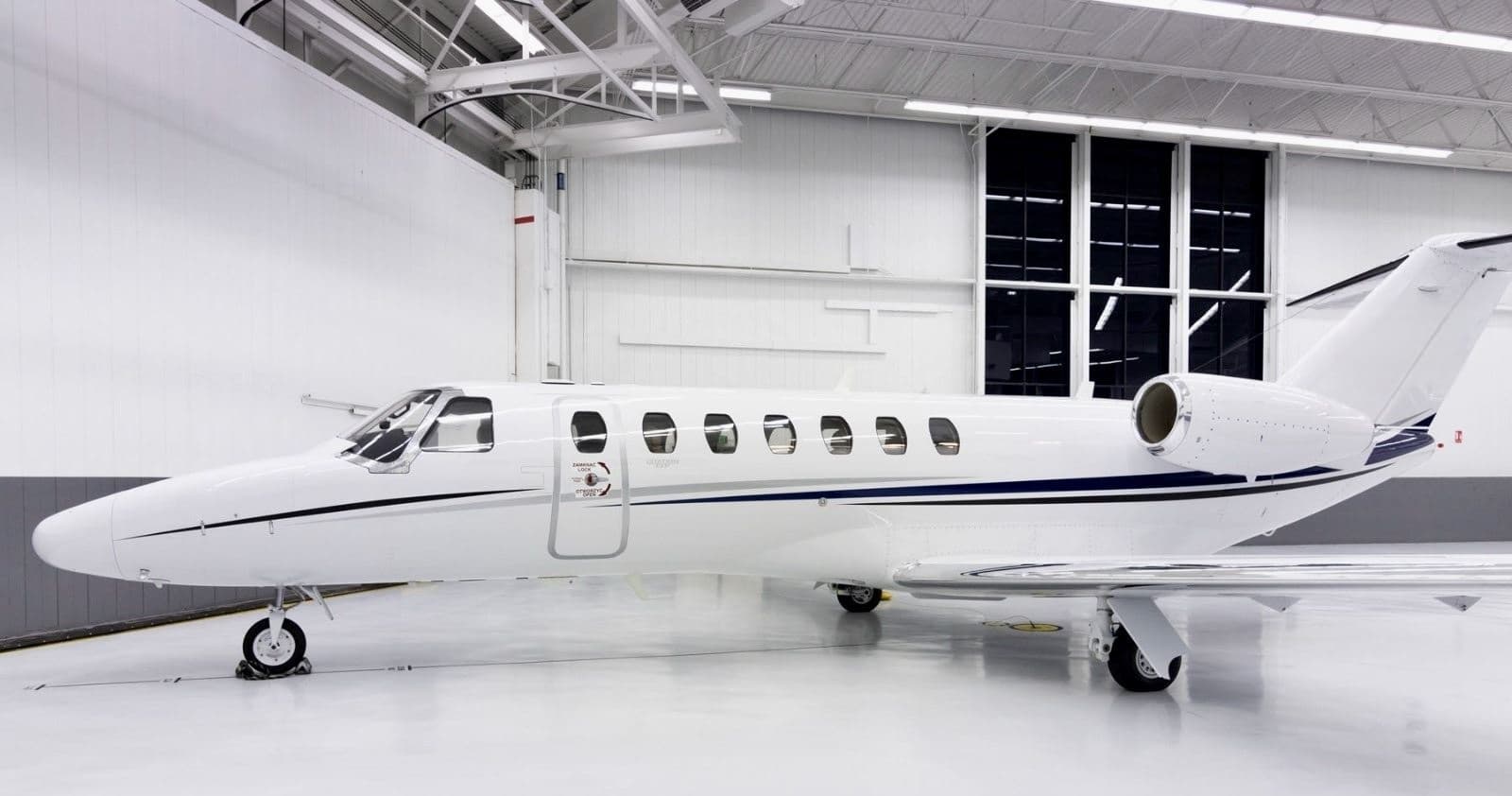 Fri, Nov 6in 3 daysBrusselsEBBR · Brussels AirportCorveraLEMI · Región de Murcia International AirportCitation CJ3+6—On request6NovBrussels → CorveraEBBR → LEMI · in 3 daysCitation CJ3+ · 6 seatsOn request
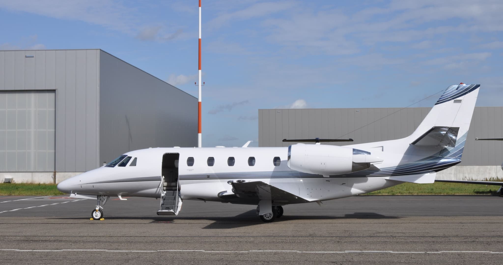 Sat, Nov 7in 4 daysBrusselsEBBR · Brussels AirportSalernoLIRI · Salerno / Pontecagnano AirportCitation XLS+8—On request7NovBrussels → SalernoEBBR → LIRI · in 4 daysCitation XLS+ · 8 seatsOn request
 Sat, Nov 7in 4 daysBrusselsEBBR · Brussels AirportManchesterEGCC · Manchester AirportCitation CJ48—€4,8407NovBrussels → ManchesterEBBR → EGCC · in 4 daysCitation CJ4 · 8 seats€4,840
- Sat, Nov 717:00BrusselsEBBR · Brussels NationalParisLFPB · Le BourgetFalcon 7X——On request7NovBrussels → ParisEBBR → LFPB · 17:00Falcon 7XOn request
 EBBR · Brussels Airport
 EDMO · Oberpfaffenhofen Airport
 LTBJ · Adnan Menderes
 LKPR · Ruzyne
 LFPB · Paris-Le Bourget Airport
 LEMI · Región de Murcia International Airport
 LIRI · Salerno / Pontecagnano Airport
 EGCC · Manchester Airport
* Total price incl. 10% service fee, converted to your selected currency. Price subject to operator confirmation.
Empty legs to EBBR
18 arrivals available
- Tue, Nov 3TodayLaurensKLUX · Laurens County AirportBrusselsEBBR · Brussels AirportCitation Mustang——On request3NovLaurens → BrusselsKLUX → EBBR · TodayCitation MustangOn request
- Tue, Nov 310:40ZurichLSZHBrusselsEBBRCessna Citation Mustang41h 2m€1,4193NovZurich → BrusselsLSZH → EBBR · 10:40Cessna Citation Mustang · 4 seats · 1h 2m€1,419
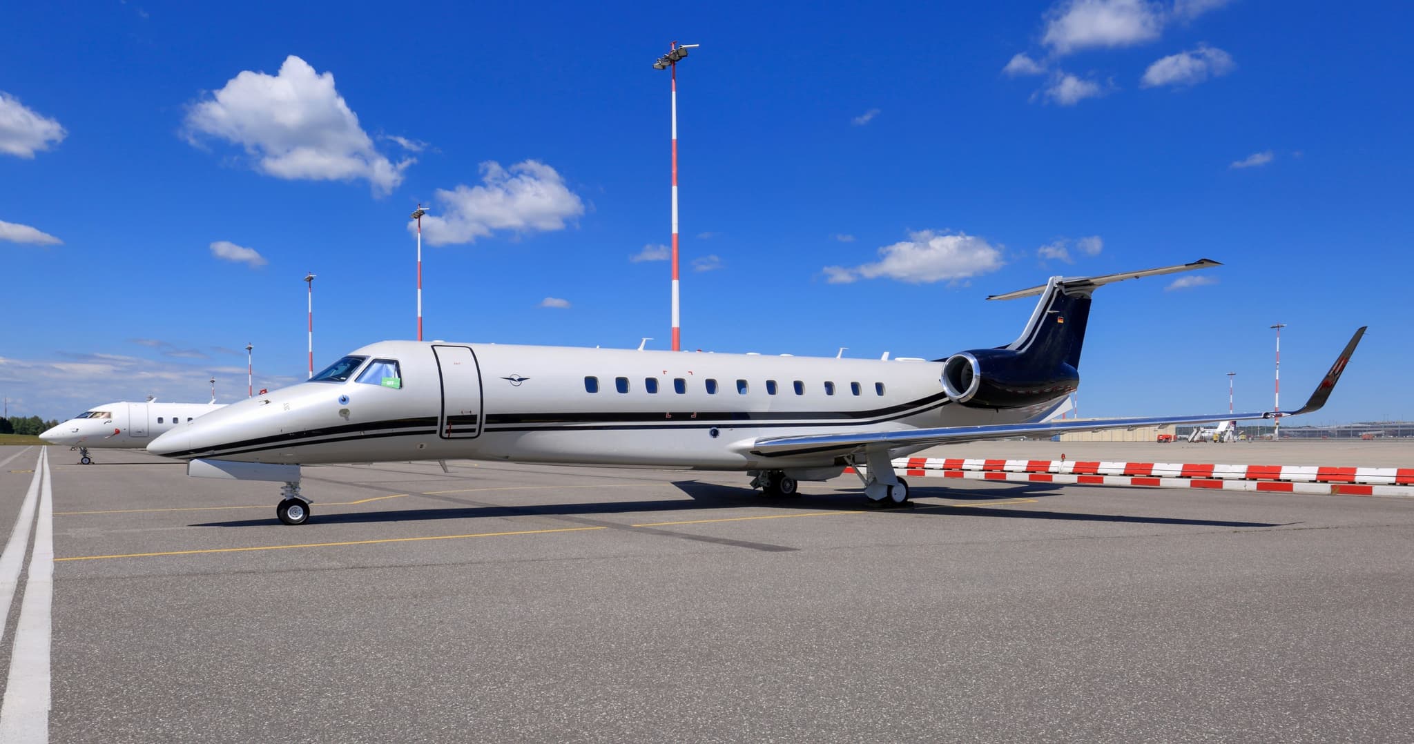 Wed, Nov 4TomorrowEdinburghEGPH · Edinburgh AirportBrusselsEBBR · Brussels AirportLegacy 65013—On request4NovEdinburgh → BrusselsEGPH → EBBR · TomorrowLegacy 650 · 13 seatsOn request
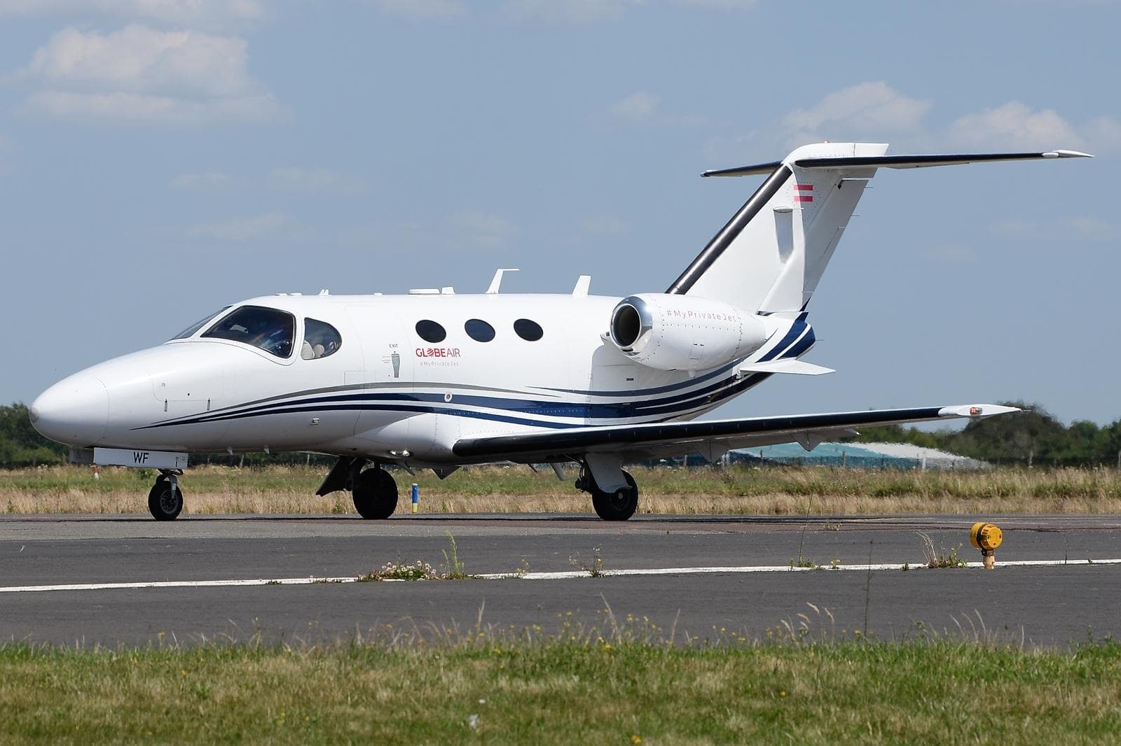 Thu, Nov 5in 2 daysAngersLFJR · Angers-Loire AirportBrusselsEBBR · Brussels AirportCitation Mustang4—On request5NovAngers → BrusselsLFJR → EBBR · in 2 daysCitation Mustang · 4 seatsOn request
- Thu, Nov 5in 2 daysArhusEKAH · AarhusBrusselsEBBR · Brussels NationalEmbraer Legacy 450——On request5NovArhus → BrusselsEKAH → EBBR · in 2 daysEmbraer Legacy 450On request
- Fri, Nov 6in 3 daysFrankfurt-am-MainEDDF · Frankfurt am Main International AirportBrusselsEBBR · Brussels AirportEmbraer E545 Legacy 450——On request6NovFrankfurt-am-Main → BrusselsEDDF → EBBR · in 3 daysEmbraer E545 Legacy 450On request
- Fri, Nov 6in 3 daysDundeeEGPN · Dundee AirportBrusselsEBBR · Brussels AirportCitation XLS+8—On request6NovDundee → BrusselsEGPN → EBBR · in 3 daysCitation XLS+ · 8 seatsOn request
- Fri, Nov 6in 3 daysFrankfurt-am-MainEDDF · Frankfurt am Main International AirportBrusselsEBBR · Brussels AirportEmbraer Legacy 4509—On request6NovFrankfurt-am-Main → BrusselsEDDF → EBBR · in 3 daysEmbraer Legacy 450 · 9 seatsOn request
- Fri, Nov 614:15BurenEDLP · Paderborn Lippstadt AirportZaventemEBBR · Brussels AirportEmbraer Phenom 3007—$7,4806NovBuren → ZaventemEDLP → EBBR · 14:15Embraer Phenom 300 · 7 seats$7,480
 KLUX · Laurens County Airport
 LSZH
 EKAH · Aarhus
* Total price incl. 10% service fee, converted to your selected currency. Price subject to operator confirmation.
Map: Brussels Airport
View the location of Brussels – BRU/EBBR. Zoom in to explore the area around the airport.
About the airport
Brussels Airport (BRU/EBBR) is the key private jet gateway for Brussels. PrivJet gives you instant access to charter flights and empty legs: fast, discreet and globally connected.
EBBR airport FAQ
Are there any restrictions at Brussels airport (EBBR) today?
There are currently 17 valid NOTAMs for Brussels (EBBR). Affected: Taxiway: closed; Taxiway edge lights: unserviceable; Taxiway; Wind indicator: unserviceable and 1 more. For information only, not for flight planning or operational use. Always rely on an official pre-flight briefing. This list may be incomplete or out of date.
What is the weather at Brussels airport (EBBR)?
According to the latest weather report for EBBR (METAR, 02 Nov, 23:20 UTC): Poor visibility, instrument conditions (IFR). Wind 4 kt (7 km/h) from north-northeast (30°), visibility 10 km or more, temperature 7 °C (dew point 7 °C). For information only, not for flight planning. Weather can change quickly; always rely on official reports.
How long are the runways at Brussels airport (EBBR)?
Brussels (EBBR) has 3 runways: runway 07L/25R with 3,638 m (11,936 ft), asphalt, runway 07R/25L with 3,211 m (10,535 ft), asphalt and runway 01/19 with 2,987 m (9,800 ft), asphalt. The longest is 3,638 m.
What are the radio frequencies at Brussels airport (EBBR)?
Frequencies at EBBR: Tower 118.605 / 120.78 MHz, Ground 118.055 / 121.88 MHz and ATIS 121.755 / 132.475 MHz. For information only. Always rely on the published AIP.
What are the airport codes of Brussels Airport?
The ICAO code is EBBR and the IATA code is BRU. ICAO codes are used by air traffic control and pilots, e.g. in flight plans; IATA codes appear on tickets and baggage tags.
What is the elevation of EBBR airport?
Brussels Airport sits at 184 ft (56 m) above sea level. Local time zone: Europe/Brussels.
Where do private jets land at Brussels?
EBBR has 2 private jet terminals or FBOs: ExecuJet Brussels FBO (Luxaviation, Building 28) and Brussels Airport General Aviation Terminal (AviaVIP). Your flight confirmation says which one your operator uses.
Can I fly to EBBR by private jet?
Whether a private jet can operate into Brussels Airport depends on runway length, opening hours, customs and immigration rules as well as slot and handling availability, among other things. PrivJet checks this with the operating carrier for every request.
Are there empty legs from or to EBBR?
There are currently 32 empty legs departing from and 18 arriving at Brussels Airport. Empty legs are repositioning flights at heavily reduced prices; the list is updated several times a day.