Copenhagen Kastrup Airport (EKCH / CPH)
Empty legs and charters from Copenhagen
EKCH airport at a glance
- ICAO code
- EKCH
- IATA code
- CPH
- City
- Copenhagen
- Region
- Capital Region
- Country
- Denmark
- Elevation
- 17 ft (5 m)
- Time zone
- Europe/Copenhagen (UTC+1)
- Coordinates
- 55.6179° N, 12.6560° E
- Empty legs from
- 14
- Empty legs to
- 8
Private jet terminal & FBOs at Copenhagen Kastrup
- ASE Handling FBO - Terminal 2 General Aviation entranceGeneral Aviation entrance, west end of Terminal 2 (Vestvej), 2770 Kastrup, Denmark
Weather & airport info EKCH
Current weather
Poor visibility, instrument conditions (IFR)observed 02 Nov, 23:50 UTC- Wind
- 5 kt (9 km/h) from east-northeast (60°)
- Visibility
- 5 km
- Clouds
- broken clouds at 900 ft
- Temperature
- 10 °C (dew point 10 °C)
- Pressure (QNH)
- 1,032 hPa
Original weather report (METAR)
METAR EKCH 022350Z 06005KT 5000 BKN009 10/10 Q1032 TEMPO 4000 BR BKN006
Forecast (TAF)
- 03 Nov, 00:00–00:00 UTC8 kt (15 km/h) from east-northeast (60°) · visibility 7 km · few clouds at 600 ft, broken clouds at 1,500 ft
- 03 Nov, 00:00–02:00 UTCtemporarilyvisibility 4 km · Rain, drizzle, mist · broken clouds at 600 ft
- 03 Nov, 02:00–06:00 UTCtemporarilybroken clouds at 1,400 ft
Original forecast (TAF)
TAF EKCH 022327Z 0300/0324 06008KT 7000 FEW006 BKN015 TEMPO 0300/0302 4000 RADZ BR BKN006 TEMPO 0302/0306 BKN014
Airport
- Elevation
- 17 ft (5 m)
- Sunrise / Sunset
- 07:18 / 16:27 local time
Runways
| Runway | Length | Surface | Lighted |
|---|---|---|---|
| 04L/22R | 3,600 m (11,811 ft) | asphalt | yes |
| 04R/22L | 3,300 m (10,827 ft) | asphalt | yes |
| 12/30 | 2,800 m (9,186 ft) | asphalt | yes |
Radio frequencies
- Approach: 118.45
- Approach: 119.8
- Approach: 120.2
- ATIS: 122.75
- ATIS: 122.85
- Clearance: 119.9
- Ground: 121.625
- Ground: 121.725
For information only, not for flight planning. Weather can change quickly; always rely on official reports. Sources: aviationweather.gov (NOAA), OurAirports.
Airport map EKCH
Full screen →Runways white, taxiways yellow with designators, closed taxiways and runways per NOTAM in red.
Official charts
Aerodrome, approach and ground charts are published by the national air navigation service in its AIP:
Naviair AIM →For information only, not for navigation. Always use current official charts and NOTAMs.
Current NOTAMs for EKCH(5)
NOTAMs (Notices to Air Missions) announce short-term changes at an airport: closed runways or taxiways, unserviceable approach aids, obstacles, airspace restrictions.
- Out of serviceAerodrome: not availableA2031/26· until 16 Nov, 12:00 UTC
Deicing taxiway B, lane 1, is closed.
Show original text
DEICING TWY B LANE 1 CLSD.
A2031/26 NOTAMR A1926/26
 Q) EKDK/QFIAU/IV/NBO/A /000/999/5537N01239E005
 A) EKCH B) 2610300941 C) 2611161200
 E) DEICING TWY B LANE 1 CLSD.
- Out of serviceAerodrome: not availableA1985/26· until 13 Nov, 05:00 UTC
Deicing taxiway B is closed. This means aircraft cannot be deiced there.
Show original text
DEICING TWY B CLSD.
A1985/26 NOTAMN
 Q) EKDK/QFIAU/IV/NBO/A /000/999/5537N01239E005
 A) EKCH B) 2610261700 C) 2611130500
 D) DAILY 1700 - 0500
 E) DEICING TWY B CLSD.
Hours: DAILY 1700 - 0500
- NoticeObstacle: erectedA2050/26· from 04 Nov, 05:00 UTC · until 06 Nov, 17:00 UTC (estimated)
A temporary obstacle, a crane, has been erected near the airport. Its top is 257 ft above sea level, 248 ft above ground, and it has no obstacle lighting.
Show original text
TEMP OBST CRANE (UNDER CONSTRUCTION) WITH OBST ID / DESIGNATION EKCHHOJ0001482 ERECTED AT PSN 553934.65N 0123756.2E. ELEV 257FT AMSL (HGT 248FT AGL). CRANE RADIUS 40M. PENETRATING INNER HORIZONTAL SURFACE. NO OBST LGT.
A2050/26 NOTAMN
 Q) EKDK/QOBCE/IV/M  /A /000/999/5537N01239E005
 A) EKCH B) 2611040500 C) 2611061700EST
 E) TEMP OBST CRANE (UNDER CONSTRUCTION) WITH OBST ID /
 DESIGNATION EKCHHOJ0001482 ERECTED AT PSN 553934.65N
 0123756.2E. ELEV 257FT AMSL (HGT 248FT AGL). CRANE RADIUS 40M.
 PENETRATING INNER HORIZONTAL SURFACE. NO OBST LGT.
- NoticeRunway: limited toA1940/26· until 09 Nov, 12:00 UTC
Take-offs from runway 04R are not permitted when the runway visual range measurement is below 550 meters.
Show original text
RWY 04R TKOF NOT PERMITTED WHEN RVR IS BLW 550M.
A1940/26 NOTAMN
 Q) EKDK/QMRLT/IV/NBO/A /000/999/5537N01239E005
 A) EKCH B) 2610091406 C) 2611091200
 E) RWY 04R TKOF NOT PERMITTED WHEN RVR IS BLW 550M.
- NoticeDocking system: limited toA1791/26· permanent
During conditions of very heavy snowfall, fog, or direct sunlight, the Docking Guidance System (DGS) may not operate correctly. If the DGS fails to start the distance countdown 15 meters prior to the stop position, pilots shall stop the aircraft immediately and request marshalling assistance.
Show original text
DURING CONDITIONS OF VERY HEAVY SNOWFALL, FOG, OR DIRECT SUNLIGHT, THE DOCKING GUIDANCE SYSTEM (DGS) MAY NOT OPERATE CORRECTLY. IF THE DGS FAILS TO START THE DISTANCE COUNTDOWN AT 15M PRIOR TO THE STOP POSITION, PILOTS SHALL STOP THE AIRCRAFT IMMEDIATELY AND REQUEST MARSHALLING ASSISTANCE. REF AIP AD 2.20 ITEM 7.
A1791/26 NOTAMN
 Q) EKDK/QFDLT/I /M  /A /000/999/5537N01239E005
 A) EKCH B) 2609241059 C) PERM
 E) DURING CONDITIONS OF VERY HEAVY SNOWFALL, FOG, OR DIRECT
 SUNLIGHT, THE DOCKING GUIDANCE SYSTEM (DGS) MAY NOT OPERATE
 CORRECTLY. IF THE DGS FAILS TO START THE DISTANCE COUNTDOWN AT
 15M PRIOR TO THE STOP POSITION, PILOTS SHALL STOP THE AIRCRAFT
 IMMEDIATELY AND REQUEST MARSHALLING ASSISTANCE.
 REF AIP AD 2.20 ITEM 7.
For information only, not for flight planning or operational use. Always rely on an official pre-flight briefing. This list may be incomplete or out of date. Explanations and expanded abbreviations are generated automatically. The original text is authoritative. Source: FAA NOTAM Management Service (SWIM).
Private jet traffic in Copenhagen Kastrup Airport (last 30 days)
- Arrivals
- 134
- Departures
- 122
- Different jets
- 101
Most frequent origins: Stockholm-Bromma Airport (7), Helsinki Vantaa Airport (6), Paris-Le Bourget Airport (6), Nice-Cote d'Azur Airport (4), Sonderborg Airport (4).
Most frequent destinations: Stockholm-Bromma Airport (12), London Luton Airport (5), Sonderborg Airport (4), Billund Airport (4), Amsterdam Airport Schiphol (3).
Most common aircraft types: Dassault Falcon 2000 (34), Embraer Phenom 300 (23), Bombardier Challenger 350/3500 (17), Bombardier Global 6000/6500 (16), Bombardier Challenger 600/650 (15).
Tuesday is the busiest day.
Our own analysis of public ADS-B signals from business jets. Not every flight is received, and jets with a removal request are excluded.
Charter operators based here
Operators with a base at this airport.
- Air AlsieSonderborg (EKSB) · Turboprop, Super midsize jet, Heavy jet
- Air GreenlandNuuk International (BGGH) · Turboprop, Helicopter
- Jet TimeHeavy jet
Empty legs from EKCH
14 departures available
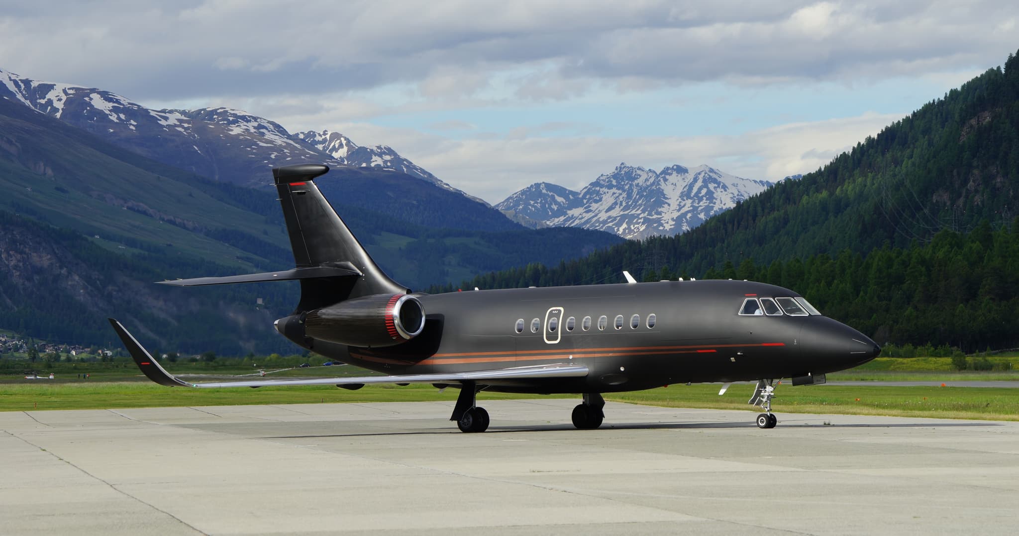 Tue, Nov 3TodayCopenhagenEKCH · Copenhagen Kastrup AirportZurichLSZH · Zurich AirportFalcon 2000LXS10—On request3NovCopenhagen → ZurichEKCH → LSZH · TodayFalcon 2000LXS · 10 seatsOn request
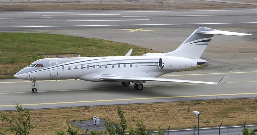 Thu, Nov 5in 2 daysCopenhagenEKCH · Copenhagen Kastrup AirportStockholmESSB · Stockholm-Bromma AirportGlobal 650013—$12,2715NovCopenhagen → StockholmEKCH → ESSB · in 2 daysGlobal 6500 · 13 seats$12,271
 Thu, Nov 5in 2 daysCopenhagenEKCH · Copenhagen Kastrup AirportHamburgEDDH · Hamburg AirportCitation CJ25—On request5NovCopenhagen → HamburgEKCH → EDDH · in 2 daysCitation CJ2 · 5 seatsOn request
- Mon, Nov 9in 6 daysCopenhagenEKCH · Copenhagen Kastrup AirportOsloENGM · Oslo Gardermoen AirportFalcon 2000LXS10—On request9NovCopenhagen → OsloEKCH → ENGM · in 6 daysFalcon 2000LXS · 10 seatsOn request
- Mon, Nov 916:00CopenhagenEKCH · Copenhagen Kastrup AirportOsloENGM · Oslo AirportDassault Falcon 2000LX10—$14,7409NovCopenhagen → OsloEKCH → ENGM · 16:00Dassault Falcon 2000LX · 10 seats$14,740
- Mon, Nov 907:30CopenhagenEKCH · Copenhagen Kastrup AirportSonderborgEKSB · Sonderborg AirportDassault Falcon 2000LX10—$14,7409NovCopenhagen → SonderborgEKCH → EKSB · 07:30Dassault Falcon 2000LX · 10 seats$14,740
- Wed, Nov 1112:45CopenhagenEKCH · Copenhagen Kastrup AirportZurichLSZH · Zurich AirportPilatus PC-128—$11,55011NovCopenhagen → ZurichEKCH → LSZH · 12:45Pilatus PC-12 · 8 seats$11,550
- Sun, Nov 1511:50CopenhagenEKCH · Copenhagen Kastrup AirportSonderborgEKSB · Sonderborg AirportPilatus PC-128—$2,97015NovCopenhagen → SonderborgEKCH → EKSB · 11:50Pilatus PC-12 · 8 seats$2,970
 Tue, Nov 17in 14 daysCopenhagenEKCH · Copenhagen Kastrup AirportParisLFPB · Paris-Le Bourget AirportCitation XLS+7—On request17NovCopenhagen → ParisEKCH → LFPB · in 14 daysCitation XLS+ · 7 seatsOn request
 EKCH · Copenhagen Kastrup Airport
 LSZH · Zurich Airport
 ESSB · Stockholm-Bromma Airport
 EDDH · Hamburg Airport
 ENGM · Oslo Gardermoen Airport
 LFPB · Paris-Le Bourget Airport
* Total price incl. 10% service fee, converted to your selected currency. Price subject to operator confirmation.
Empty legs to EKCH
8 arrivals available
- Tue, Nov 3TodayCorkEICK · Cork AirportCopenhagenEKCH · Copenhagen Kastrup AirportEmbraer Legacy 650132h 30m€12,3193NovCork → CopenhagenEICK → EKCH · TodayEmbraer Legacy 650 · 13 seats · 2h 30m€12,319
- Thu, Nov 518:10ZurichLSZH · Zurich AirportCopenhagenEKCH · Copenhagen Kastrup AirportDassault Falcon 2000LX10—$19,1405NovZurich → CopenhagenLSZH → EKCH · 18:10Dassault Falcon 2000LX · 10 seats$19,140
 Sun, Nov 802:10ZurichLSZH · Zürich AirportCopenhagenEKCH · Copenhagen Kastrup AirportDassault Falcon 2000LXS10—$18,4048NovZurich → CopenhagenLSZH → EKCH · 02:10Dassault Falcon 2000LXS · 10 seats$18,404
 Mon, Nov 9in 6 daysSavannahKSAV · Savannah Hilton Head International AirportCopenhagenEKCH · Copenhagen Kastrup AirportGulfstream G650ER13—On request9NovSavannah → CopenhagenKSAV → EKCH · in 6 daysGulfstream G650ER · 13 seatsOn request
- Wed, Nov 1106:05SonderborgEKSB · Sonderborg AirportCopenhagenEKCH · Copenhagen Kastrup AirportPilatus PC-128—$3,96011NovSonderborg → CopenhagenEKSB → EKCH · 06:05Pilatus PC-12 · 8 seats$3,960
- Fri, Nov 1311:00OsloENGM · Oslo AirportCopenhagenEKCH · Copenhagen Kastrup AirportDassault Falcon 2000LX10—$17,60013NovOslo → CopenhagenENGM → EKCH · 11:00Dassault Falcon 2000LX · 10 seats$17,600
- Mon, Nov 16in 13 daysOsloENGM · Oslo AirportCopenhagenEKCH · Copenhagen Kastrup AirportDassault Falcon 2000LXS10—$11,66316NovOslo → CopenhagenENGM → EKCH · in 13 daysDassault Falcon 2000LXS · 10 seats$11,663
- Fri, Jan 1509:08CopenhagenEKRK · RoskildeCopenhagenEKCH · KastrupGulfstream G200—35mOn request15JanCopenhagen → CopenhagenEKRK → EKCH · 09:08Gulfstream G200 · 35mOn request
 EICK · Cork Airport
 KSAV · Savannah Hilton Head International Airport
* Total price incl. 10% service fee, converted to your selected currency. Price subject to operator confirmation.
Map: Copenhagen Airport
View the location of Copenhagen – CPH/EKCH. Zoom in to explore the area around the airport.
About the airport
Copenhagen Kastrup Airport (CPH/EKCH) is the key private jet gateway for Copenhagen. PrivJet gives you instant access to charter flights and empty legs: fast, discreet and globally connected.
EKCH airport FAQ
Are there any restrictions at Copenhagen airport (EKCH) today?
There are currently 4 valid NOTAMs for Copenhagen (EKCH). Affected: Aerodrome: not available. 1 more NOTAM starts in the coming days. For information only, not for flight planning or operational use. Always rely on an official pre-flight briefing. This list may be incomplete or out of date.
What is the weather at Copenhagen airport (EKCH)?
According to the latest weather report for EKCH (METAR, 02 Nov, 23:50 UTC): Poor visibility, instrument conditions (IFR). Wind 5 kt (9 km/h) from east-northeast (60°), visibility 5 km, temperature 10 °C (dew point 10 °C). For information only, not for flight planning. Weather can change quickly; always rely on official reports.
How long are the runways at Copenhagen airport (EKCH)?
Copenhagen (EKCH) has 3 runways: runway 04L/22R with 3,600 m (11,811 ft), asphalt, runway 04R/22L with 3,300 m (10,827 ft), asphalt and runway 12/30 with 2,800 m (9,186 ft), asphalt. The longest is 3,600 m.
What are the radio frequencies at Copenhagen airport (EKCH)?
Frequencies at EKCH: Tower 118.1 / 118.575 MHz, Ground 121.625 / 121.725 MHz and ATIS 122.75 / 122.85 MHz. For information only. Always rely on the published AIP.
What are the airport codes of Copenhagen Kastrup Airport?
The ICAO code is EKCH and the IATA code is CPH. ICAO codes are used by air traffic control and pilots, e.g. in flight plans; IATA codes appear on tickets and baggage tags.
What is the elevation of EKCH airport?
Copenhagen Kastrup Airport sits at 17 ft (5 m) above sea level. Local time zone: Europe/Copenhagen.
Where do private jets land at Copenhagen Kastrup?
Private jet passengers at EKCH are handled through ASE Handling FBO - Terminal 2 General Aviation entrance (General Aviation entrance, west end of Terminal 2 (Vestvej), 2770 Kastrup, Denmark). The operator confirms the exact meeting point with your flight confirmation.
Can I fly to EKCH by private jet?
Whether a private jet can operate into Copenhagen Kastrup Airport depends on runway length, opening hours, customs and immigration rules as well as slot and handling availability, among other things. PrivJet checks this with the operating carrier for every request.
Are there empty legs from or to EKCH?
There are currently 14 empty legs departing from and 8 arriving at Copenhagen Kastrup Airport. Empty legs are repositioning flights at heavily reduced prices; the list is updated several times a day.