Mahe Island Seychelles Airport (FSIA / SEZ)
Empty legs and charters from Mahe Island
FSIA airport at a glance
- ICAO code
- FSIA
- IATA code
- SEZ
- City
- Mahe Island
- Region
- Pointe Larue
- Country
- Seychelles
- Elevation
- 10 ft (3 m)
- Time zone
- Indian/Mahe (UTC+4)
- Coordinates
- 4.6743° S, 55.5218° E
- Empty legs from
- 3
- Empty legs to
- 1
Weather & airport info FSIA
Current weather
Marginal visual conditions (MVFR)observed 04 Nov, 19:00 UTC- Wind
- 5 kt (9 km/h) from variable directions
- Visibility
- 8 km
- Weather
- Rain showers
- Clouds
- few clouds at 800 ft, broken clouds at 1,700 ft
- Temperature
- 26 °C (dew point 23 °C)
- Pressure (QNH)
- 1,013 hPa
Original weather report (METAR)
METAR FSIA 041900Z VRB05KT 8000 SHRA FEW008 BKN017 26/23 Q1013 TEMPO 5000 +SHRA
Forecast (TAF)
- 04 Nov, 18:00–18:00 UTC3 kt (6 km/h) from variable directions · visibility 10 km or more · scattered clouds at 2,100 ft
- 04 Nov, 18:00–00:00 UTCtemporarilyvisibility 8 km · Rain showers · few clouds at 1,600 ft, broken clouds at 1,800 ft
- 05 Nov, 06:00–12:00 UTCtemporarilyvisibility 8 km · Rain showers · few clouds at 1,400 ft, broken clouds at 1,900 ft
Original forecast (TAF)
TAF FSIA 041708Z 0418/0518 VRB03KT 9999 SCT021 TEMPO 0418/0424 8000 SHRA FEW016CB BKN018 TEMPO 0506/0512 8000 SHRA FEW014CB BKN019
Airport
- Elevation
- 10 ft (3 m)
- Sunrise / Sunset
- 05:52 / 18:10 local time
Runways
| Runway | Length | Surface | Lighted |
|---|---|---|---|
| 13/31 | 2,987 m (9,800 ft) | concrete | yes |
Radio frequencies
- Approach: 119.7
- Tower: 118.3
For information only, not for flight planning. Weather can change quickly; always rely on official reports. Sources: aviationweather.gov (NOAA), OurAirports.
Airport map FSIA
Full screen →Runways white, taxiways yellow with designators, closed taxiways and runways per NOTAM in red.
Official charts
Aerodrome, approach and ground charts are published by the national air navigation service in its AIP:
EUROCONTROL: nationale AIS-Websites →For information only, not for navigation. Always use current official charts and NOTAMs.
Current NOTAMs for FSIA(3)
NOTAMs (Notices to Air Missions) announce short-term changes at an airport: closed runways or taxiways, unserviceable approach aids, obstacles, airspace restrictions.
- ClosedControl zone: closedA0097/26· from 07 Nov, 17:00 UTC · until 07 Nov, 17:30 UTC
The airspace is closed within a 0.5 nautical mile radius centered at the specified point (swimming pool) for fireworks.
Show original text
AIRSPACE CLOSURE BOUNDED 0.5NM RADIUS CENTERED AT 043759.46S055287.50E (SWIMMIMG POOL) FOR FIREWORKS
A0097/26 NOTAMN
 Q) FSSS/QACLC/IV/NBO/AE/000/010/0437S05528E001
 A) FSIA B) 2611071700 C) 2611071730
 E) AIRSPACE CLOSURE BOUNDED 0.5NM RADIUS CENTERED AT
 043759.46S055287.50E (SWIMMIMG POOL) FOR FIREWORKS
 F) AMSL G) 1000FT
- NoticeAscent of free balloon: will take placeA0115/26· from 05 Nov, 21:00 UTC · until 06 Nov, 02:30 UTC (estimated)
ASCENT of HEAVY UNMANNED FREE LONG DURATION BALLOON WHICH will be LAUNCHED from MAHE AIRPORT in A CYLINDER VOLUME defined by 441S5532E and A radius of 30 NM.secondary radar CODE 4453
Show original text
ASCENT OF HEAVY UNMANNED FREE LONG DURATION BALLOON WHICH WILL BE LAUNCHED FROM MAHE AIRPORT IN A CYLINDER VOLUME DEFINED BY 441S5532E AND A RADIUS OF 30NM.SSR CODE 4453
A0115/26 NOTAMN
 Q) FSSS/QWLLW/IV/NBO/W/000/600/0441S05532E030
 A) FSIA B) 2611052100 C) 2611060230EST
 E) ASCENT OF HEAVY UNMANNED FREE LONG DURATION BALLOON WHICH WILL BE
 LAUNCHED FROM MAHE AIRPORT IN A CYLINDER VOLUME DEFINED BY 441S5532E
 AND A RADIUS OF 30NM.SSR CODE 4453
 F) GND G) FL600
- NoticeAeronautical information serviceA0073/26· until 11 Nov, 23:59 UTC
There is no new or changed information for the airport taking effect on October 29.
Show original text
AIRAC EFF DATE 29 OCT - NIL-
A0073/26 NOTAMN
 Q) FSSS/QOATT/IV/BO/A/000/999/0441S05531E005
 A) FSIA B) 2610290000 C) 2611112359
 E) AIRAC EFF DATE 29 OCT - NIL-
For information only, not for flight planning or operational use. Always rely on an official pre-flight briefing. This list may be incomplete or out of date. Explanations and expanded abbreviations are generated automatically. The original text is authoritative. Source: FAA NOTAM Management Service (SWIM).
Private jet traffic in Seychelles International Airport (last 30 days)
- Arrivals
- 41
- Departures
- 23
- Different jets
- 31
Most frequent origins: Al Maktoum International Airport (8).
Most frequent destinations: Al Maktoum International Airport (4).
Most common aircraft types: Bombardier Global 5000/5500 (13), Gulfstream G450/GIV (9), Cessna Citation Sovereign (6), Bombardier Global 6000/6500 (5), Pilatus PC-24 (5).
Sunday is the busiest day.
Our own analysis of public ADS-B signals from business jets. Not every flight is received, and jets with a removal request are excluded.
Charter operators based here
Operators with a base at this airport.
- Zil AirHelicopter, Piston aircraft
- Air SeychellesTurboprop
- Islands Development CompanyTurboprop
Empty legs from FSIA
3 departures available
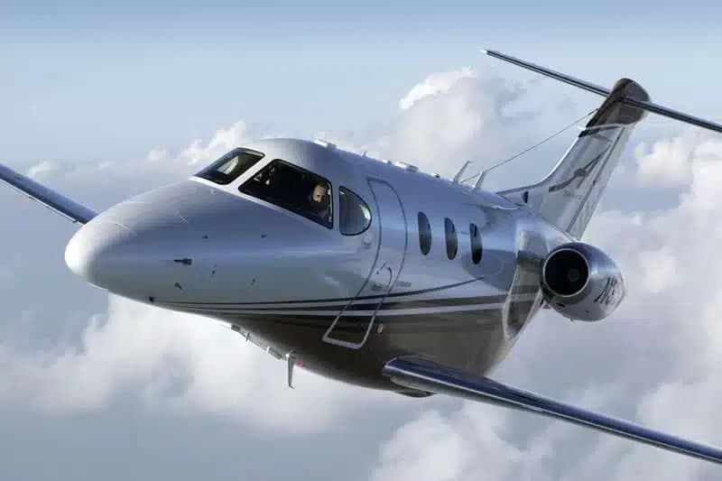 Tue, Nov 24in 20 daysSedonaFSIA · Seychelles International AirportLas VegasRJTT · Tokyo International AirportPremier 1A6—$6,21524NovSedona → Las VegasFSIA → RJTT · in 20 daysPremier 1A · 6 seats$6,215
- Fri, Dec 2509:00Mahe IslandFSIA · Seychelles International AirportLuxorHELX · Luxor International AirportBombardier Challenger 35009—$74,80025DecMahe Island → LuxorFSIA → HELX · 09:00Bombardier Challenger 3500 · 9 seats$74,800
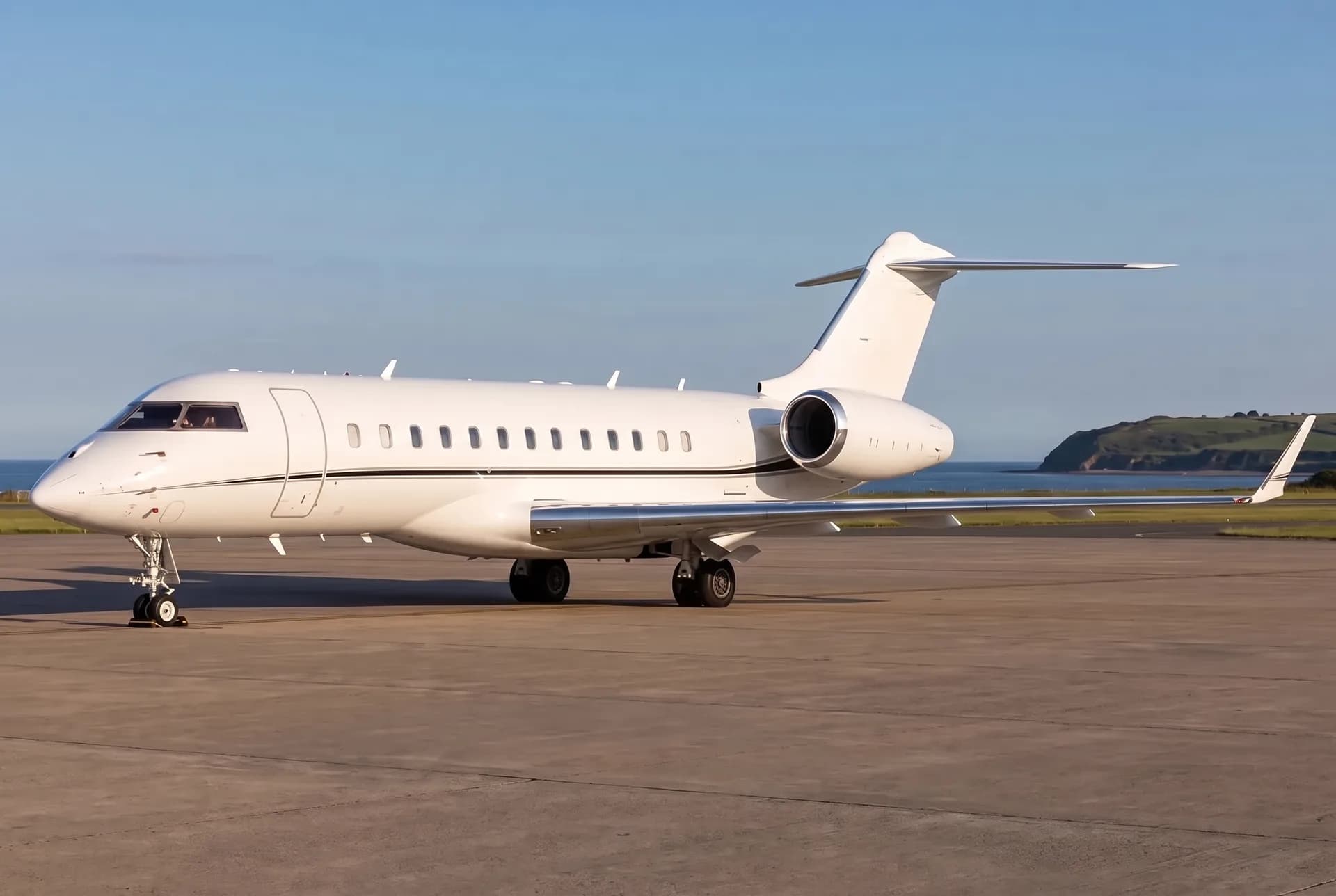 Wed, Feb 1003:00Mahe IslandFSIA · Seychelles International AirportMaléVRMM · Malé International AirportBombardier Global Express XRS13—$52,06910FebMahe Island → MaléFSIA → VRMM · 03:00Bombardier Global Express XRS · 13 seats$52,069
 FSIA · Seychelles International Airport
 RJTT · Tokyo International Airport
 HELX · Luxor International Airport
 VRMM · Malé International Airport
* Total price incl. 10% service fee, converted to your selected currency. Price subject to operator confirmation.
Empty legs to FSIA
1 arrivals available
* Total price incl. 10% service fee, converted to your selected currency. Price subject to operator confirmation.
Map: Mahe Island Airport
View the location of Mahe Island – SEZ/FSIA. Zoom in to explore the area around the airport.
About the airport
Seychelles International Airport (SEZ/FSIA) is the key private jet gateway for Mahe Island. PrivJet gives you instant access to charter flights and empty legs: fast, discreet and globally connected.
FSIA airport FAQ
Are there any restrictions at Mahe Island airport (FSIA) today?
There is currently 1 valid NOTAM for Mahe Island (FSIA). 2 more NOTAMs start in the coming days. For information only, not for flight planning or operational use. Always rely on an official pre-flight briefing. This list may be incomplete or out of date.
What is the weather at Mahe Island airport (FSIA)?
According to the latest weather report for FSIA (METAR, 04 Nov, 19:00 UTC): Marginal visual conditions (MVFR). Wind 5 kt (9 km/h) from variable directions, visibility 8 km, temperature 26 °C (dew point 23 °C). Rain showers. For information only, not for flight planning. Weather can change quickly; always rely on official reports.
How long are the runways at Mahe Island airport (FSIA)?
Mahe Island (FSIA) has one runway: runway 13/31 with 2,987 m (9,800 ft), concrete.
What are the radio frequencies at Mahe Island airport (FSIA)?
Frequencies at FSIA: Tower 118.3 MHz. For information only. Always rely on the published AIP.
What are the airport codes of Seychelles International Airport?
The ICAO code is FSIA and the IATA code is SEZ. ICAO codes are used by air traffic control and pilots, e.g. in flight plans; IATA codes appear on tickets and baggage tags.
What is the elevation of FSIA airport?
Seychelles International Airport sits at 10 ft (3 m) above sea level. Local time zone: Indian/Mahe.
Can I fly to FSIA by private jet?
Whether a private jet can operate into Seychelles International Airport depends on runway length, opening hours, customs and immigration rules as well as slot and handling availability, among other things. PrivJet checks this with the operating carrier for every request.
Are there empty legs from or to FSIA?
There are currently 3 empty legs departing from and 1 arriving at Seychelles International Airport. Empty legs are repositioning flights at heavily reduced prices; the list is updated several times a day.