Batesville Airport (KBVX / BVX)
Empty legs and charters from Batesville
KBVX airport at a glance
- ICAO code
- KBVX
- IATA code
- BVX
- City
- Batesville
- Region
- Arkansas
- Country
- United States
- Elevation
- 465 ft (142 m)
- Time zone
- America/Chicago (UTC-6)
- Coordinates
- 35.7262° N, 91.6473° W
- Empty legs from
- 4
- Empty legs to
- 4
Weather & airport info KBVX
Current weather
No current weather report is available for this airport.
Airport
- Elevation
- 465 ft (142 m)
- Sunrise / Sunset
- 06:30 / 17:09 local time
Runways
| Runway | Length | Surface | Lighted |
|---|---|---|---|
| 08/26 | 1,829 m (6,002 ft) | asphalt | yes |
| 18/36 | 855 m (2,804 ft) | asphalt | no |
Radio frequencies
- UNICOM: 122.8
For information only, not for flight planning. Weather can change quickly; always rely on official reports. Sources: aviationweather.gov (NOAA), OurAirports.
Airport map KBVX
Full screen →Runways white, taxiways yellow with designators, closed taxiways and runways per NOTAM in red.
Closed per NOTAM: RWY 8/26, TWY A* (* partly closed)
Official charts (FAA)
Cycle 2611, valid until 0901Z 11/26/26
Airport diagram (FAA)
Airport diagram (1)
Instrument approaches (3)
Minimums (2)
For information only, not for navigation. Always use current official charts and NOTAMs.
Current NOTAMs for KBVX(17)
NOTAMs (Notices to Air Missions) announce short-term changes at an airport: closed runways or taxiways, unserviceable approach aids, obstacles, airspace restrictions.
- ClosedRunway: closed10/037· until 15 Nov, 04:59 UTC
Runway 08/26 is closed.
Show original text
RWY 08/26 CLSD
10/037 NOTAMR
Q) KZME/QMRLC/IV/NBO/A/000/999/3543N09138W005
A) KBVX
B) 2610271515
C) 2611150459

E) RWY 08/26 CLSD
- Out of serviceObstacle11/001· until 02 Dec, 16:44 UTC
Obstacle light on tower (ASR 1295533) (7.8 NM south of BVX) 916 ft above sea level (310 ft above ground) out of service
Show original text
OBST TOWER LGT (ASR 1295533) 353553.10N0913651.60W (7.8NM S BVX) 916FT (310FT AGL) U/S
- Out of serviceILS: unserviceable10/042· until 15 Nov, 23:00 UTC
Navigation: ILS (instrument landing system) runway 08 out of service
Show original text
NAV ILS RWY 08 U/S
10/042 NOTAMR
Q) KZME/QICAS/IV/NBO/A/000/999/3543N09138W025
A) KBVX
B) 2610271906
C) 2611152300

E) ILS RWY 08 U/S
- Out of servicePAPI: unserviceable10/038· until 15 Nov, 04:59 UTC
The PAPI (Precision Approach Path Indicator) for runway 08 is out of service. The PAPI is a visual aid that helps pilots maintain the correct glide path during approach.
Show original text
RWY 08 PAPI U/S
10/038 NOTAMR
Q) KZME/QLPAS/IV/BO/A/000/999/3543N09138W005
A) KBVX
B) 2610271516
C) 2611150459

E) RWY 08 PAPI U/S
- Out of serviceRunway edge lights10/039· until 15 Nov, 04:59 UTC
The runway edge lighting for runway 08/26 is out of service.
Show original text
RWY 08/26 REDL U/S
10/039 NOTAMR
Q) KZME/QLEXX/I/BO/A/000/999/3543N09138W005
A) KBVX
B) 2610271516
C) 2611150459

E) RWY 08/26 REDL U/S
- Out of servicePAPI: unserviceable10/036· until 15 Nov, 04:59 UTC
The PAPI (Precision Approach Path Indicator) for runway 26 is out of service. The PAPI is a visual aid that helps pilots maintain the correct glide path during approach.
Show original text
RWY 26 PAPI U/S
10/036 NOTAMR
Q) KZME/QLPAS/IV/BO/A/000/999/3543N09138W005
A) KBVX
B) 2610271513
C) 2611150459

E) RWY 26 PAPI U/S
- Out of serviceOther10/035· until 30 Nov, 04:59 UTC
All taxiway edge lighting is out of service.
Show original text
TWY ALL EDGE LGT U/S
10/035 NOTAMR
Q) KZME/QXXAS/IV/M/A/000/999/3543N09138W005
A) KBVX
B) 2610271507
C) 2611300459

E) TWY ALL EDGE LGT U/S
- ClosedTaxiway: closed10/034· until 31 Dec, 04:59 UTC
Taxiway A between taxiway B and the approach end of runway 08 is closed.
Show original text
TWY A BTN TWY B AND APCH END RWY 08 CLSD
10/034 NOTAMR
Q) KZME/QMXLC/IV/M/A/000/999/3543N09138W005
A) KBVX
B) 2610271506
C) 2612310459

E) TWY A BTN TWY B AND APCH END RWY 08 CLSDAPCH END RWY 08RSTRCTN>0? TO|
9 more NOTAMs
- Out of serviceObstacle10/017· until 22 Nov, 10:57 UTC
A tower light 10 nautical miles east of Batesville Regional airport, with its top at 871 feet above sea level and 459 feet above ground, is out of service.
Show original text
OBST TOWER LGT (ASR 1055605) 354327.80N0912635.00W (10NM E BVX) 871FT (459FT AGL) U/S
- Out of serviceObstacle10/016· until 21 Nov, 11:50 UTC
An obstacle, a tower light (ASR 1305564), is out of service. Its top is 805 feet above sea level, 260 feet above ground.
Show original text
OBST TOWER LGT (ASR 1305564) 355103.80N0914425.10W (8.7NM NW BVX) 805FT (260FT AGL) U/S
- NoticeAerodrome: work in progress10/041· until 31 Dec, 01:00 UTC
Work in progress (construction) on all airport surfaces.
Show original text
AD AP ALL SFC WIP CONST
10/041 NOTAMR
Q) KZME/QFAHW/IV/NBO/A/000/999/3543N09138W005
A) KBVX
B) 2610271521
C) 2612310100

E) AP ALL SFC WIP CONST
- NoticeRunway: work in progress10/040· until 15 Nov, 04:59 UTC
Work in progress (resurfacing) on runway 08/26.
Show original text
RWY 08/26 WIP RESURFACING
10/040 NOTAMR
Q) KZME/QMRHW/IV/NBO/A/000/999/3543N09138W005
A) KBVX
B) 2610271517
C) 2611150459

E) RWY 08/26 WIP RESURFACING
- NoticeTaxiway: work in progress10/033· until 31 Dec, 04:59 UTC
Work in progress (resurfacing) on taxiway A between the Fixed Base Operator ramp and the approach end of runway 08.
Show original text
TWY A BTN FIXED BASE OPR RAMP AND APCH END RWY 08 WIP RESURFACING
10/033 NOTAMR
Q) KZME/QMXHW/IV/M/A/000/999/3543N09138W005
A) KBVX
B) 2610271505
C) 2612310459

E) TWY A BTN FIXED BASE OPR RAMP AND APCH END RWY 08 WIP RESURFACING
- NoticeDaylight markings10/032· until 31 Dec, 04:59 UTC
The taxiway A holding position markings for runway 18/36 are not marked.
Show original text
TWY A HLDG PSN MARKINGS FOR RWY 18/36 NOT MARKED
10/032 NOTAMN
Q) KZME/QMMXX/V/M/A/000/999/3543N09138W005
A) KBVX
B) 2610271503
C) 2612310459

E) TWY A HLDG PSN MARKINGS FOR RWY 18/36 NOT MARKED
- NoticeDaylight markings10/027· until 15 Nov, 04:59 UTC
The centerline markings on the north side of taxiway B are not marked. This may make orientation on the taxiway more difficult.
Show original text
TWY B CL MARKINGS NORTH SIDE NOT MARKED
10/027 NOTAMN
Q) KZME/QMMXX/V/M/A/000/999/3543N09138W005
A) KBVX
B) 2610221330
C) 2611150459

E) TWY B CL MARKINGS NORTH SIDE NOT MARKED
- NoticeDaylight markings10/026· until 15 Nov, 04:59 UTC
The holding position markings for taxiway B at runway 18 are not marked. This may make it difficult to observe the holding position.
Show original text
TWY B HLDG PSN MARKINGS AT RWY 18 NOT MARKED
10/026 NOTAMN
Q) KZME/QMMXX/V/M/A/000/999/3543N09138W005
A) KBVX
B) 2610221319
C) 2611150459

E) TWY B HLDG PSN MARKINGS AT RWY 18 NOT MARKED
- NoticeRunway10/025· until 15 Nov, 04:59 UTC
Work in progress is taking place in the northern end of the runway 18/36 safety area. This may lead to restrictions in this area.
Show original text
RWY 18/36 SAFETY AREA WIP N END
10/025 NOTAMR
Q) KZME/QMRXX/IV/NBO/A/000/999/3543N09138W005
A) KBVX
B) 2610221314
C) 2611150459

E) RWY 18/36 SAFETY AREA WIP N END
For information only, not for flight planning or operational use. Always rely on an official pre-flight briefing. This list may be incomplete or out of date. Explanations and expanded abbreviations are generated automatically. The original text is authoritative. Source: FAA NOTAM Management Service (SWIM).
Charter operators based here
Operators with a base at this airport.
- Survival FlightHelicopter
Empty legs from KBVX
4 departures available
 Thu, Nov 1223:54BatesvilleKBVX · Batesville Regional AirportHoustonKHOU · William P Hobby AirportCessna Citation Ultra11h 24m$5,91412NovBatesville → HoustonKBVX → KHOU · 23:54Cessna Citation Ultra · 1 seat · 1h 24m$5,914
- Thu, Nov 12in 9 daysBatesvilleKBVX · Batesville Regional AirportHoustonKHOU · William P Hobby AirportCessna Citation V7—$5,70212NovBatesville → HoustonKBVX → KHOU · in 9 daysCessna Citation V · 7 seats$5,702
- Fri, Nov 1304:54BatesvilleKBVX · Batesville Regional AirportHoustonKHOU · William P HobbyCessna Citation Ultra7—$7,26013NovBatesville → HoustonKBVX → KHOU · 04:54Cessna Citation Ultra · 7 seats$7,260
- Sat, Nov 1404:54BatesvilleKBVX · Batesville Regional AirportHoustonKHOU · William P HobbyCessna Citation Ultra7—$7,26014NovBatesville → HoustonKBVX → KHOU · 04:54Cessna Citation Ultra · 7 seats$7,260
 KBVX · Batesville Regional Airport
* Total price incl. 10% service fee, converted to your selected currency. Price subject to operator confirmation.
Empty legs to KBVX
4 arrivals available
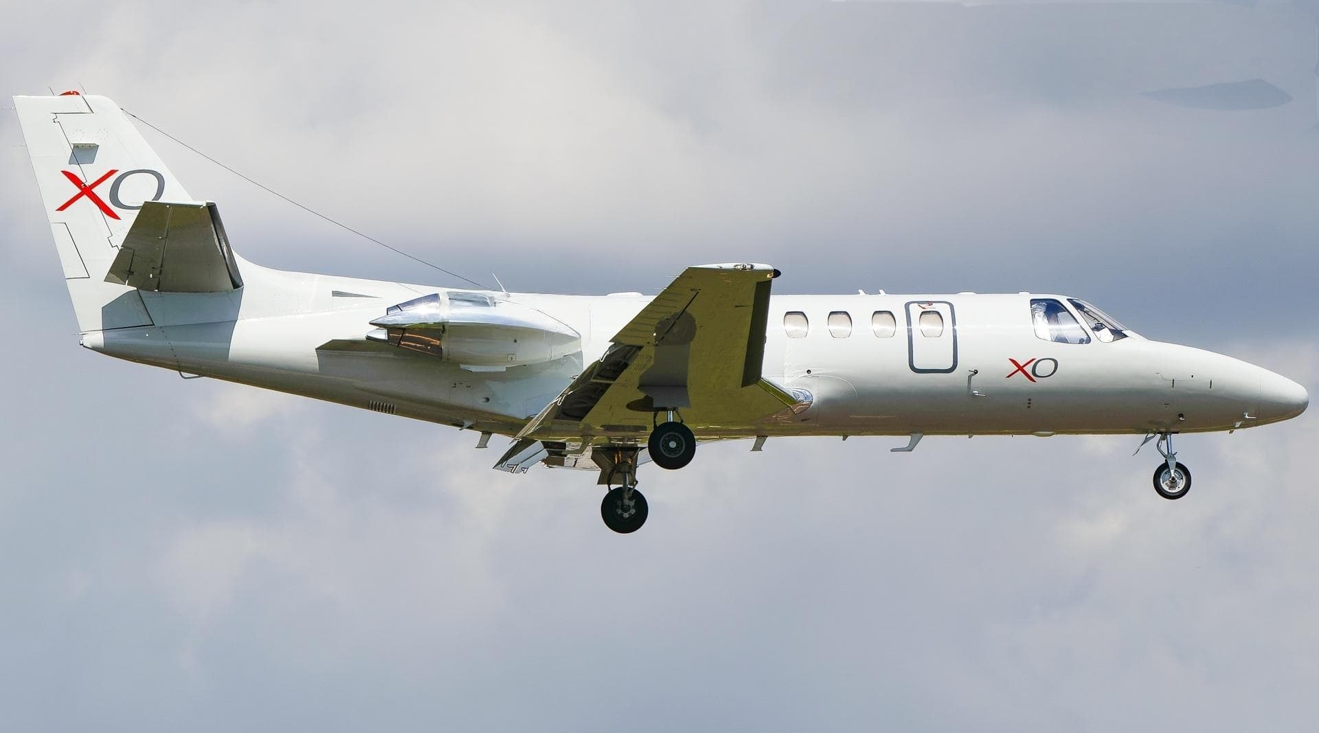 Fri, Nov 6in 3 daysHoustonKHOU · William P Hobby AirportBatesvilleKBVX · Batesville Regional AirportCitation Ultra7—$5,5376NovHouston → BatesvilleKHOU → KBVX · in 3 daysCitation Ultra · 7 seats$5,537
- Sat, Nov 714:30HoustonKHOU · William P Hobby AirportBatesvilleKBVX · Batesville Regional AirportCessna Citation Ultra11h 18m$5,1747NovHouston → BatesvilleKHOU → KBVX · 14:30Cessna Citation Ultra · 1 seat · 1h 18m$5,174
- Sat, Nov 7in 4 daysHoustonKHOU · William P Hobby AirportBatesvilleKBVX · Batesville Regional AirportCessna Citation V7—$4,9907NovHouston → BatesvilleKHOU → KBVX · in 4 daysCessna Citation V · 7 seats$4,990
 Sun, Nov 805:30HoustonKHOU · William P Hobby AirportBatesvilleKBVX · Batesville Regional AirportCessna Citation Ultra7—$5,4438NovHouston → BatesvilleKHOU → KBVX · 05:30Cessna Citation Ultra · 7 seats$5,443
* Total price incl. 10% service fee, converted to your selected currency. Price subject to operator confirmation.
Map: Batesville Airport
View the location of Batesville – BVX/KBVX. Zoom in to explore the area around the airport.
About the airport
Batesville Regional Airport (BVX/KBVX) is the key private jet gateway for Batesville. PrivJet gives you instant access to charter flights and empty legs: fast, discreet and globally connected.
KBVX airport FAQ
Are there any restrictions at Batesville airport (KBVX) today?
There are currently 17 valid NOTAMs for Batesville (KBVX). According to NOTAM, at least one runway or the aerodrome itself is closed. Affected: Runway: closed; Taxiway: closed; Obstacle: out of service; ILS: unserviceable and 3 more. For information only, not for flight planning or operational use. Always rely on an official pre-flight briefing. This list may be incomplete or out of date.
How long are the runways at Batesville airport (KBVX)?
Batesville (KBVX) has 2 runways: runway 08/26 with 1,829 m (6,002 ft), asphalt and runway 18/36 with 855 m (2,804 ft), asphalt. The longest is 1,829 m.
What are the airport codes of Batesville Regional Airport?
The ICAO code is KBVX and the IATA code is BVX. ICAO codes are used by air traffic control and pilots, e.g. in flight plans; IATA codes appear on tickets and baggage tags.
What is the elevation of KBVX airport?
Batesville Regional Airport sits at 465 ft (142 m) above sea level. Local time zone: America/Chicago.
Can I fly to KBVX by private jet?
Whether a private jet can operate into Batesville Regional Airport depends on runway length, opening hours, customs and immigration rules as well as slot and handling availability, among other things. PrivJet checks this with the operating carrier for every request.
Are there empty legs from or to KBVX?
There are currently 4 empty legs departing from and 4 arriving at Batesville Regional Airport. Empty legs are repositioning flights at heavily reduced prices; the list is updated several times a day.