Lake Charles Airport (KLCH / LCH)
Empty legs and charters from Lake Charles
KLCH airport at a glance
- ICAO code
- KLCH
- IATA code
- LCH
- City
- Lake Charles
- Region
- Louisiana
- Country
- United States
- Elevation
- 15 ft (5 m)
- Time zone
- America/Chicago (UTC-6)
- Coordinates
- 30.1261° N, 93.2233° W
- Empty legs from
- 5
- Empty legs to
- 4
Weather & airport info KLCH
Current weather
No current weather report is available for this airport.
Airport
- Elevation
- 15 ft (5 m)
- Sunrise / Sunset
- 06:28 / 17:24 local time
Runways
| Runway | Length | Surface | Lighted |
|---|---|---|---|
| 15/33 | 1,981 m (6,500 ft) | concrete | yes |
| 05/23 | 1,585 m (5,200 ft) | asphalt | yes |
Radio frequencies
- ATIS: 118.75
- Clearance: 126.25
- CTAF: 120.7
- Ground: 121.8
- Tower: 120.7
- UNICOM: 122.95
For information only, not for flight planning. Weather can change quickly; always rely on official reports. Sources: aviationweather.gov (NOAA), OurAirports.
Airport map KLCH
Full screen →Runways white, taxiways yellow with designators, closed taxiways and runways per NOTAM in red.
Closed per NOTAM: TWY L*, TWY M*, TWY J2*, TWY J* (* partly closed)
Official charts (FAA)
Cycle 2611, valid until 0901Z 11/26/26
Airport diagram (FAA)
Airport diagram (1)
Instrument approaches (7)
Minimums (3)
For information only, not for navigation. Always use current official charts and NOTAMs.
Current NOTAMs for KLCH(21)
NOTAMs (Notices to Air Missions) announce short-term changes at an airport: closed runways or taxiways, unserviceable approach aids, obstacles, airspace restrictions.
- Out of serviceServices10/145· from 06 Nov, 04:00 UTC · until 06 Nov, 11:50 UTC
The automatic terminal information service (ATIS) on frequency 118.75 is out of service. Pilots will not receive automatic weather and airport information on this frequency.
Show original text
SVC ATIS 118.75 U/S
- Out of serviceServices10/148· from 06 Nov, 04:00 UTC · until 06 Nov, 11:50 UTC
Several remote transmitters and receivers on frequencies 119.35, 119.8, 120.7, 121.8, 126.25, 257.8, and 282.3 are out of service. This may affect communication with air traffic control.
Show original text
COM REMOTE TRANS/REC 119.35, 119.8, 120.7, 121.8, 126.25, 257.8, 282.3 U/S
- Out of serviceServices10/149· from 06 Nov, 04:00 UTC · until 06 Nov, 11:50 UTC
The remote transmitter and receiver on frequency 119.75 is out of service. This may affect communication with air traffic control.
Show original text
COM REMOTE TRANS/REC 119.75 U/S
- Out of serviceOtherA0628/26· from 06 Nov, 04:00 UTC · until 06 Nov, 11:50 UTC
The remote communication outlets for frequencies 121.5 and 243.0 are not available.
Show original text
COM REMOTE COM OUTLET 121.5, 243.0 NOT AVBL
A0628/26 NOTAMN
Q) KZHU/QXXXX////000/999/3007N09313W005
A) KLCH
B) 2611060400
C) 2611061150
E) COM REMOTE COM OUTLET 121.5, 243.0 NOT AVBL
- Out of serviceLanding direction indicator: unserviceableA0633/26· from 06 Nov, 04:00 UTC · until 06 Nov, 11:50 UTC
All runway visual range (RVR) measurements at the airport are out of service. This means that the exact visibility on the runways cannot be measured.
Show original text
AD AP RVR ALL U/S
A0633/26 NOTAMN
Q) KZHU/QFTAS////000/999/3007N09313W005
A) KLCH
B) 2611060400
C) 2611061150
E) AD AP RVR ALL U/S
- Out of serviceRunway end identifier lights: unserviceableA0634/26· from 06 Nov, 04:00 UTC · until 06 Nov, 11:50 UTC
The runway end identification lights for runway 05, which mark the end of the runway, are out of service.
Show original text
RWY 05 RWY END ID LGT U/S
A0634/26 NOTAMN
Q) KZHU/QLIAS////000/999/3007N09313W005
A) KLCH
B) 2611060400
C) 2611061150
E) RWY 05 RWY END ID LGT U/S
- Out of serviceATIS: unserviceable10/140· from 04 Nov, 04:00 UTC · until 04 Nov, 11:50 UTC
The automatic terminal information service (ATIS) on frequency 118.75 is out of service. ATIS continuously provides pilots with important airport information.
Show original text
SVC ATIS 118.75 U/S
10/140 NOTAMN
Q) KZHU/QSAAS/IV/BO/A/000/999/3007N09313W005
A) KLCH
B) 2611040400
C) 2611041150
E) ATIS 118.75 U/S
- Out of serviceServices10/143· from 04 Nov, 04:00 UTC · until 04 Nov, 11:50 UTC
The remote transmitting and receiving facilities for radio communication on frequencies 119.35, 119.8, 120.7, 121.8, 126.25, 257.8, 282.3, and 323.75 are out of service.
Show original text
COM REMOTE TRANS/REC 119.35, 119.8, 120.7, 121.8, 126.25, 257.8, 282.3, 323.75 U/S
13 more NOTAMs
- Out of serviceServices10/144· from 04 Nov, 04:00 UTC · until 04 Nov, 11:50 UTC
The remote transmitting and receiving facilities for radio communication on frequency 119.75 are out of service.
Show original text
COM REMOTE TRANS/REC 119.75 U/S
- Out of serviceOtherA0627/26· from 04 Nov, 04:00 UTC · until 04 Nov, 11:50 UTC
Remote communication outlets 121.5 and 243.0 at Lake Charles Regional Airport are not available.
Show original text
COM REMOTE COM OUTLET 121.5, 243.0 NOT AVBL
A0627/26 NOTAMN
Q) KZHU/QXXXX////000/999/3007N09313W005
A) KLCH
B) 2611040400
C) 2611041150
E) COM REMOTE COM OUTLET 121.5, 243.0 NOT AVBL
- Out of serviceLanding direction indicator: unserviceableA0629/26· from 04 Nov, 04:00 UTC · until 04 Nov, 11:50 UTC
All runway visual range (RVR) measurements for the runway at the airport are out of service. RVR measures the visibility along the runway.
Show original text
AD AP RVR ALL U/S
A0629/26 NOTAMN
Q) KZHU/QFTAS////000/999/3007N09313W005
A) KLCH
B) 2611040400
C) 2611041150
E) AD AP RVR ALL U/S
- Out of serviceRunway end identifier lights: unserviceableA0632/26· from 04 Nov, 04:00 UTC · until 04 Nov, 11:50 UTC
Runway 05 runway END ID light out of service
Show original text
RWY 05 RWY END ID LGT U/S
A0632/26 NOTAMN
Q) KZHU/QLIAS////000/999/3007N09313W005
A) KLCH
B) 2611040400
C) 2611041150
E) RWY 05 RWY END ID LGT U/S
- Out of serviceRunway alignment indicator lights: unserviceableA0635/26· until 06 Nov, 20:00 UTC
The runway alignment indicator lights (RAI LGT) for runway 15 are out of service. Approach lighting helps pilots find the runway in poor visibility.
Show original text
RWY 15 RAI LGT U/S
A0635/26 NOTAMN
Q) KZHU/QLJAS////000/999/3007N09313W005
A) KLCH
B) 2611010337
C) 2611062000
E) RWY 15 RAI LGT U/S
- ClosedTaxiway: closed10/121· until 04 Nov, 22:00 UTC
Taxiway L, M, J2, and taxiway J between taxiway H and taxiway J2 are closed.
Show original text
TWY L, M, J2, TWY J BTN TWY H AND TWY J2 CLSD
A0614/26 NOTAMN
Q) KZHU/QMXLC////000/999/3007N09313W005
A) KLCH
B) 2610301400
C) 2611042200
E) TWY L, M, J2, TWY J BTN TWY H AND TWY J2 CLSD
- ClosedTaxiway: closedA0614/26· until 04 Nov, 22:00 UTC
Taxiway L, M, J2, and taxiway J between taxiway H and taxiway J2 are closed.
Show original text
TWY L, M, J2, TWY J BTN TWY H AND TWY J2 CLSD
A0614/26 NOTAMN Q) KZHU/QMXLC////000/999/3007N09313W005 A) KLCH B) 2610301400 C) 2611042200 E) TWY L, M, J2, TWY J BTN TWY H AND TWY J2 CLSD
- Out of serviceSequenced flashing lights: unserviceableA0573/26· until 04 Nov, 20:00 UTC
The runway 33 sequenced flashing lights are out of service. These lights help pilots to locate the runway in poor visibility.
Show original text
RWY 33 SEQUENCED FLG LGT U/S
A0573/26 NOTAMN
Q) KZHU/QLFAS////000/999/3007N09313W005
A) KLCH
B) 2610140901
C) 2611042000
E) RWY 33 SEQUENCED FLG LGT U/S
- Out of serviceVASIS: unserviceableA0523/26· until 29 Jan, 20:00 UTC
The VASI (Visual Approach Slope Indicator) for runway 23 is out of service. The VASI helps pilots maintain the correct glide path to the runway.
Show original text
RWY 23 VASI U/S
A0523/26 NOTAMN
Q) KZHU/QLVAS////000/999/3007N09313W005
A) KLCH
B) 2610021117
C) 2701292000
E) RWY 23 VASI U/S
- NoticeObstacle: erectedA0636/26· from 05 Nov, 04:00 UTC · until 05 Nov, 18:00 UTC
Obstacle: crane (ASN unknown) (. 49 NM east-northeast of LCH) unknown (170 ft above ground) flagged and lighted
Show original text
OBST CRANE (ASN UNKNOWN) 300745N0931253W (.49NM ENE LCH) UNKNOWN (170FT AGL) FLAGGED AND LGTD
A0636/26 NOTAMN
Q) KZHU/QOBCE/IV/M/AE/000/999/3007N09313W005
A) KLCH
B) 2611050400
C) 2611051800
E) OBST CRANE (ASN UNKNOWN) 300745N0931253W (.49NM ENE LCH)
UNKNOWN (170FT AGL) FLAGGED AND LGTD
- NoticeObstacle: erectedA0637/26· from 05 Nov, 04:00 UTC · until 05 Nov, 18:00 UTC
Obstacle: crane (ASN unknown) (. 48 NM east-northeast of LCH) unknown (170 ft above ground) flagged and lighted
Show original text
OBST CRANE (ASN UNKNOWN) 300747N0931254W (.48NM ENE LCH) UNKNOWN (170FT AGL) FLAGGED AND LGTD
A0637/26 NOTAMN
Q) KZHU/QOBCE/IV/M/AE/000/999/3007N09313W005
A) KLCH
B) 2611050400
C) 2611051800
E) OBST CRANE (ASN UNKNOWN) 300747N0931254W (.48NM ENE LCH)
UNKNOWN (170FT AGL) FLAGGED AND LGTD
- NoticeAirspace11/005· from 04 Nov, 18:00 UTC · until 04 Nov, 21:00 UTC
Airspace drones (UAS) within an area defined as 1 NM radius of a defined point (4.0 NM west-northwest of LCH) surface- 200 ft above ground
Show original text
AIRSPACE UAS WI AN AREA DEFINED AS 1NM RADIUS OF 300850.10N0931745.40W (4.0NM WNW LCH) SFC-200FT AGL
- NoticeAirspace11/004· from 04 Nov, 13:00 UTC · until 04 Nov, 16:00 UTC
Airspace drones (UAS) within an area defined as 0.6 NM radius of a defined point (6.7 NM northwest of CWF) surface- 200 ft above ground
Show original text
AIRSPACE UAS WI AN AREA DEFINED AS 0.6NM RADIUS OF 301758.90N0931314.90W (6.7NM NW CWF) SFC-200FT AGL
For information only, not for flight planning or operational use. Always rely on an official pre-flight briefing. This list may be incomplete or out of date. Explanations and expanded abbreviations are generated automatically. The original text is authoritative. Source: FAA NOTAM Management Service (SWIM).
Private jet traffic in Lake Charles Regional Airport (last 30 days)
- Arrivals
- 28
- Departures
- 3
- Different jets
- 25
Most common aircraft types: Cirrus Vision Jet (6), Embraer Phenom 100 (5), Beechcraft King Air 200/250 (3), Eclipse 500/550 (3).
Thursday is the busiest day.
Our own analysis of public ADS-B signals from business jets. Not every flight is received, and jets with a removal request are excluded.
Charter operators based here
Operators with a base at this airport.
- Bristow U.S.Houma (Terrebonne) (KHUM) · Helicopter
Empty legs from KLCH
5 departures available
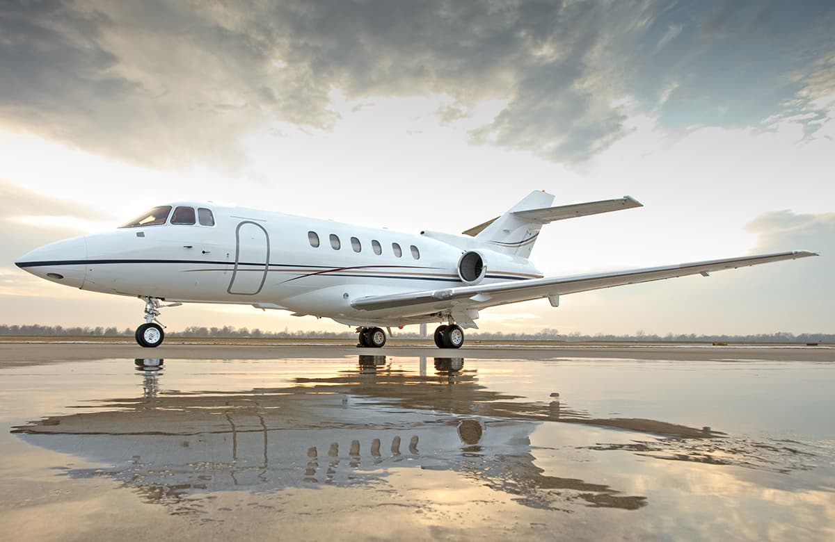 Wed, Nov 4TomorrowLake CharlesKLCH · Lake Charles Regional AirportBelmarKBLM · Monmouth Executive AirportHawker 800XP8—$19,7774NovLake Charles → BelmarKLCH → KBLM · TomorrowHawker 800XP · 8 seats$19,777
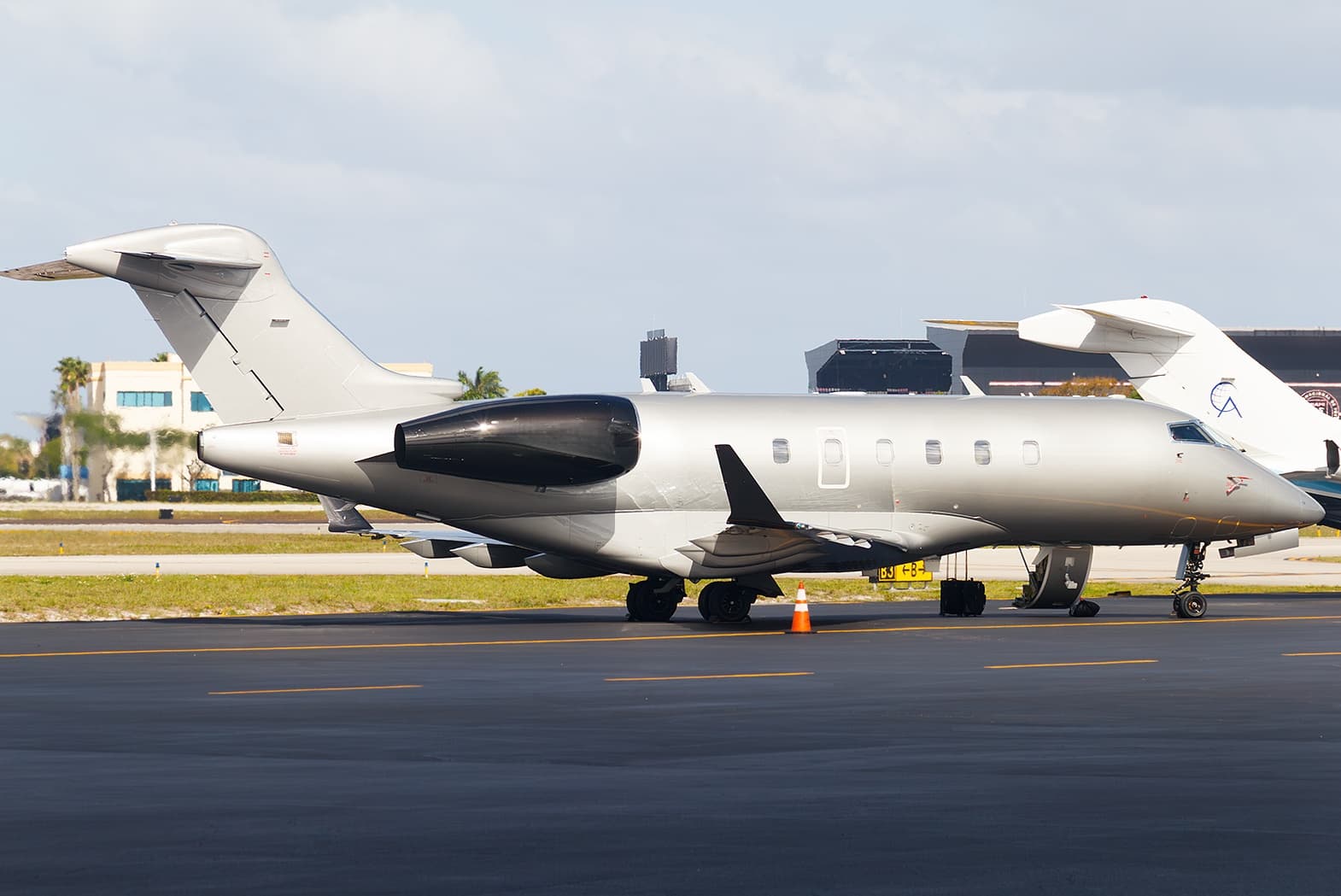 Tue, Nov 10in 7 daysLake CharlesKLCH · Lake Charles Regional AirportOrlandoKMCO · Orlando International AirportChallenger 3009—$15,82110NovLake Charles → OrlandoKLCH → KMCO · in 7 daysChallenger 300 · 9 seats$15,821
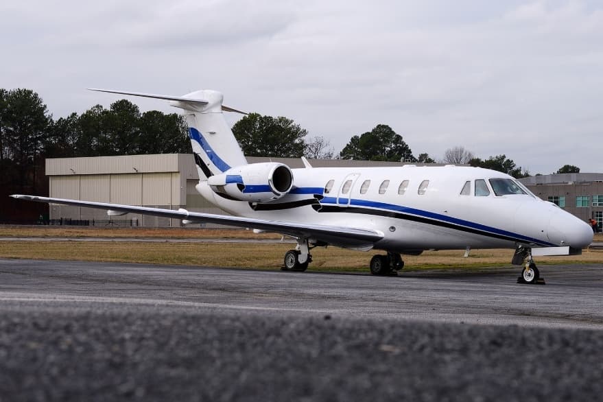 Sat, Nov 14in 11 daysLake CharlesKLCH · Lake Charles Regional AirportSan AntonioKSAT · San Antonio International AirportCitation VII9—On request14NovLake Charles → San AntonioKLCH → KSAT · in 11 daysCitation VII · 9 seatsOn request
- Sun, Nov 15in 12 daysLake CharlesKLCH · Lake Charles Regional AirportSan AntonioKSAT · San Antonio International AirportCitation VII9—$6,16015NovLake Charles → San AntonioKLCH → KSAT · in 12 daysCitation VII · 9 seats$6,160
- Sun, Nov 1519:55Lake CharlesKLCH · Lake Charles Regional AirportSan AntonioKSAT · San Antonio International AirportCessna Citation 6508—$3,85015NovLake Charles → San AntonioKLCH → KSAT · 19:55Cessna Citation 650 · 8 seats$3,850
 KLCH · Lake Charles Regional Airport
* Total price incl. 10% service fee, converted to your selected currency. Price subject to operator confirmation.
Empty legs to KLCH
4 arrivals available
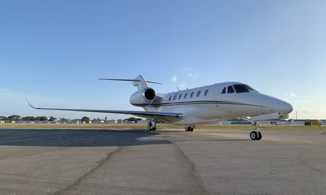 Sun, Nov 8in 5 daysAustinKDZB · Horseshoe Bay Resort AirparkLake CharlesKLCH · Lake Charles Regional AirportCitation X8—On request8NovAustin → Lake CharlesKDZB → KLCH · in 5 daysCitation X · 8 seatsOn request
- Thu, Nov 12in 9 daysSan AntonioKSAT · San Antonio International AirportLake CharlesKLCH · Lake Charles Regional AirportCitation VII9—On request12NovSan Antonio → Lake CharlesKSAT → KLCH · in 9 daysCitation VII · 9 seatsOn request
- Fri, Nov 1310:00San AntonioKSAT · San Antonio International AirportLake CharlesKLCH · Lake Charles Regional AirportCessna Citation VII7—$7,37013NovSan Antonio → Lake CharlesKSAT → KLCH · 10:00Cessna Citation VII · 7 seats$7,370
 Sun, Nov 1505:00San AntonioKSAT · San Antonio International AirportLake CharlesKLCH · Lake Charles Regional AirportCessna Citation VII8—$6,75715NovSan Antonio → Lake CharlesKSAT → KLCH · 05:00Cessna Citation VII · 8 seats$6,757
* Total price incl. 10% service fee, converted to your selected currency. Price subject to operator confirmation.
Map: Lake Charles Airport
View the location of Lake Charles – LCH/KLCH. Zoom in to explore the area around the airport.
About the airport
Lake Charles Regional Airport (LCH/KLCH) is the key private jet gateway for Lake Charles. PrivJet gives you instant access to charter flights and empty legs: fast, discreet and globally connected.
KLCH airport FAQ
Are there any restrictions at Lake Charles airport (KLCH) today?
There are currently 5 valid NOTAMs for Lake Charles (KLCH). Affected: Taxiway: closed; Runway alignment indicator lights: unserviceable; Sequenced flashing lights: unserviceable; VASIS: unserviceable. 16 more NOTAMs start in the coming days. For information only, not for flight planning or operational use. Always rely on an official pre-flight briefing. This list may be incomplete or out of date.
How long are the runways at Lake Charles airport (KLCH)?
Lake Charles (KLCH) has 2 runways: runway 15/33 with 1,981 m (6,500 ft), concrete and runway 05/23 with 1,585 m (5,200 ft), asphalt. The longest is 1,981 m.
What are the radio frequencies at Lake Charles airport (KLCH)?
Frequencies at KLCH: Tower 120.7 MHz, Ground 121.8 MHz and ATIS 118.75 MHz. For information only. Always rely on the published AIP.
What are the airport codes of Lake Charles Regional Airport?
The ICAO code is KLCH and the IATA code is LCH. ICAO codes are used by air traffic control and pilots, e.g. in flight plans; IATA codes appear on tickets and baggage tags.
What is the elevation of KLCH airport?
Lake Charles Regional Airport sits at 15 ft (5 m) above sea level. Local time zone: America/Chicago.
Can I fly to KLCH by private jet?
Whether a private jet can operate into Lake Charles Regional Airport depends on runway length, opening hours, customs and immigration rules as well as slot and handling availability, among other things. PrivJet checks this with the operating carrier for every request.
Are there empty legs from or to KLCH?
There are currently 5 empty legs departing from and 4 arriving at Lake Charles Regional Airport. Empty legs are repositioning flights at heavily reduced prices; the list is updated several times a day.