Spirit of St Louis Airport (KSUS / SUS)
Empty legs and charters from St Louis
KSUS airport at a glance
- ICAO code
- KSUS
- IATA code
- SUS
- City
- St Louis
- Region
- Missouri
- Country
- United States
- Elevation
- 463 ft (141 m)
- Time zone
- America/Chicago (UTC-6)
- Coordinates
- 38.6621° N, 90.6520° W
- Empty legs from
- 28
- Empty legs to
- 40
Weather & airport info KSUS
Current weather
Good visual conditions (VFR)observed 03 Nov, 10:54 UTC- Wind
- 9 kt (17 km/h) from south (180°), gusts up to 16 kt
- Visibility
- 10 km or more
- Clouds
- few clouds at 7,000 ft
- Temperature
- 21 °C (dew point 16 °C)
- Pressure (QNH)
- 1,011 hPa
Original weather report (METAR)
METAR KSUS 031054Z AUTO 18009G16KT 10SM FEW070 21/16 A2986 RMK AO2 SLP106 T02060161
Forecast (TAF)
- 03 Nov, 12:00–17:00 UTC12 kt (22 km/h) from south (170°), gusts up to 20 kt · visibility 10 km or more · broken clouds at 1,500 ft, overcast at 5,000 ft
- 03 Nov, 17:00–03:00 UTCfrom14 kt (26 km/h) from south-southeast (160°), gusts up to 24 kt · visibility 8 km · Light rain showers · overcast at 1,500 ft
- 03 Nov, 21:00–02:00 UTCpossible, 30 % probabilityvisibility 3 km · Rain showers
- 04 Nov, 03:00–07:00 UTCfrom10 kt (19 km/h) from south (190°) · visibility 10 km or more · Showers in the vicinity · scattered clouds at 1,500 ft, overcast at 5,000 ft
- 04 Nov, 07:00–12:00 UTCfrom8 kt (15 km/h) from southwest (230°) · visibility 10 km or more · overcast at 1,500 ft
Original forecast (TAF)
TAF KSUS 031147Z 0312/0412 17012G20KT P6SM BKN015 OVC050 FM031700 16014G24KT 5SM -SHRA OVC015 PROB30 0321/0402 2SM SHRA FM040300 19010KT P6SM VCSH SCT015 OVC050 FM040700 23008KT P6SM OVC015
Airport
- Elevation
- 463 ft (141 m)
- Sunrise / Sunset
- 06:31 / 17:00 local time
Runways
| Runway | Length | Surface | Lighted |
|---|---|---|---|
| 08R/26L | 2,282 m (7,486 ft) | concrete | yes |
| 08L/26R | 1,524 m (5,000 ft) | asphalt | yes |
Radio frequencies
- ATIS: 134.8
- Clearance: 121.7
- CTAF: 124.75
- Ground: 121.7
- Tower: 122.6
- UNICOM: 122.95
For information only, not for flight planning. Weather can change quickly; always rely on official reports. Sources: aviationweather.gov (NOAA), OurAirports.
Airport map KSUS
Full screen →Runways white, taxiways yellow with designators, closed taxiways and runways per NOTAM in red.
Official charts (FAA)
Cycle 2611, valid until 0901Z 11/26/26
Airport diagram (FAA)
Airport diagram (1)
Instrument approaches (6)
Departure procedures (5)
Minimums (2)
For information only, not for navigation. Always use current official charts and NOTAMs.
Current NOTAMs for KSUS(6)
NOTAMs (Notices to Air Missions) announce short-term changes at an airport: closed runways or taxiways, unserviceable approach aids, obstacles, airspace restrictions.
- Out of serviceStandard instrument departure: changed4828/26· from 03 Nov, 16:00 UTC · until 03 Nov, 23:00 UTC
The standard departure route (SID) "GATEWAY ONE DEPARTURE" with BIBLE GROVE, BRICKYARD, CREEP, and ROSEWOOD transitions is not available, unless the aircraft is equipped with a suitable RNAV system with GPS, because the BIB VORTAC is out of service.
Show original text
SID SPIRIT OF ST LOUIS, ST LOUIS, MO. GATEWAY ONE DEPARTURE... BIBLE GROVE TRANSITION, BRICKYARD TRANSITION, CREEP TRANSITION, ROSEWOOD TRANSITION: NA EXCEPT FOR ACFT EQUIPPED WITH SUITABLE RNAV SYSTEM WITH GPS, BIB VORTAC OUT OF SERVICE. 2611031600-2611032300EST
Q) KZKC/QPDCH/I/NBO/A/000/999/3839N09039W005
A) KSUS
B) 2508021308
C) 2603141308EST
E) SUS SPIRIT OF ST LOUIS, ST LOUIS, MO.
GATEWAY ONE DEPARTURE...
BIBLE GROVE TRANSITION, BRICKYARD TRANSITION, CREEP TRANSITION, ROSEWOOD TRANSITION: NA EXCEPT FOR ACFT EQUIPPED WITH SUITABLE RNAV SYSTEM WITH GPS,
BIB VORTAC U/S.
- Out of serviceStandard instrument departure: changed4673/26· from 03 Nov, 15:30 UTC · until 03 Nov, 21:00 UTC
The standard departure route (SID) LINDBERGH NINE DEPARTURE, VICHY TRANSITION, at Spirit of St. Louis airport is not available, except for aircraft equipped with a suitable RNAV system with GPS, because the VIH VOR/DME is out of service.
Show original text
SID SPIRIT OF ST LOUIS, ST LOUIS, MO. LINDBERGH NINE DEPARTURE... VICHY TRANSITION NA EXCEPT FOR ACFT EQUIPPED WITH SUITABLE RNAV SYSTEM WITH GPS, VIH VOR/DME OUT OF SERVICE. 2611031530-2611032100EST
Q) KZKC/QPDCH/I/NBO/A/000/999/3839N09039W005
A) KSUS
B) 2603052220
C) 2610152220EST
E) SUS SPIRIT OF ST LOUIS, ST LOUIS, MO.
LINDBERGH NINE DEPARTURE...
VICHY TRANSITION NA EXCEPT FOR ACFT EQUIPPED WITH SUITABLE RNAV SYSTEM WITH GPS,
VIH VOR/DME U/S.
- Out of serviceStandard instrument departure: changed4574/26· from 03 Nov, 14:00 UTC · until 03 Nov, 21:00 UTC
The Rosewood Transition of the Gateway One standard departure route at Spirit of St Louis Airport is not available, except for aircraft equipped with a suitable RNAV system with GPS. The ROD VORTAC navigation system is out of service.
Show original text
SID SPIRIT OF ST LOUIS, ST LOUIS, MO. GATEWAY ONE DEPARTURE... ROSEWOOD TRANSITION NA EXCEPT FOR ACFT EQUIPPED WITH SUITABLE RNAV SYSTEM WITH GPS, ROD VORTAC OUT OF SERVICE. 2611031400-2611032100EST
Q) KZKC/QPDCH/I/NBO/A/000/999/3839N09039W005
A) KSUS
B) 2404181322
C) 2411281322EST
E) SUS SPIRIT OF ST LOUIS, ST LOUIS, MO.
GATEWAY ONE DEPARTURE...
ROSEWOOD TRANSITION NA EXCEPT FOR ACFT EQUIPPED WITH SUITABLE RNAV SYSTEM WITH GPS,
ROD VORTAC U/S.
- Out of serviceNavigation10/038· until 29 Jan, 23:59 UTC
The outer marker (OM) of the Instrument Landing System (ILS) for runway 08R at Spirit of St Louis Airport is out of service. The ILS is a navigation system that guides aircraft to the runway in poor visibility.
Show original text
NAV ILS RWY 08R OM U/S
- Out of serviceObstacle lights: unserviceable10/035· until 26 Jan, 00:47 UTC
A tower near the airport, with its top at 821.9 feet above sea level and 250.0 feet above ground, has its lighting out of service.
Show original text
OBST TOWER LGT (ASR 1252080) 382923.30N0902927.70W (12.8NM SE SUS) 821.9FT (250.0FT AGL) U/S
10/035 NOTAMN<br/>
<b>Q) </b>KZKC/QOLAS/IV/M/E/000/009/3839N09039W005<br/>
<b>A) </b>KSUS<br/>
<b>B) </b>2610272347<br/>
<b>C) </b>2701260047<br/>
<b>E) </b> TOWER LGT (ASR 1252080) 382923.30N0902927.70W (12.8NM SE SUS) 821.9FT (250.0FT AGL) U/S<br/>
- Out of serviceObstacle lights: unserviceable10/027· until 22 Jan, 14:11 UTC
Obstacle light on tower (ASR 1004757) (18.7 NM south of SUS) 788.1 ft above sea level (224.1 ft above ground) out of service
Show original text
OBST TOWER LGT (ASR 1004757) 382102.40N0903951.20W (18.7NM S SUS) 788.1FT (224.1FT AGL) U/S
10/027 NOTAMN<br/>
<b>Q) </b>KZKC/QOLAS/IV/M/E/000/008/3839N09039W005<br/>
<b>A) </b>KSUS<br/>
<b>B) </b>2610241311<br/>
<b>C) </b>2701221411<br/>
<b>E) </b> TOWER LGT (ASR 1004757) 382102.40N0903951.20W (18.7NM S SUS) 788.1FT (224.1FT AGL) U/S<br/>
For information only, not for flight planning or operational use. Always rely on an official pre-flight briefing. This list may be incomplete or out of date. Explanations and expanded abbreviations are generated automatically. The original text is authoritative. Source: FAA NOTAM Management Service (SWIM).
Private jet traffic in Spirit of St Louis Airport (last 30 days)
- Arrivals
- 1,176
- Departures
- 1,000
- Different jets
- 607
Most frequent origins: Charles B. Wheeler Downtown Airport (25), Springfield Branson National Airport (24), Nashville International Airport (22), Chicago Midway International Airport (20), Dallas Love Field (17).
Most frequent destinations: Charles B. Wheeler Downtown Airport (24), Springfield Branson National Airport (23), Naples Municipal Airport (17), Chicago Midway International Airport (15), Nashville International Airport (15).
Most common aircraft types: Embraer Phenom 300 (161), Cessna Citation Excel/XLS (137), Pilatus PC-12 (119), Hawker 800/900 (116), Bombardier Challenger 350/3500 (110).
Our own analysis of public ADS-B signals from business jets. Not every flight is received, and jets with a removal request are excluded.
Charter operators based here
Operators with a base at this airport.
- Executive Jet ManagementWhite Plains (Westchester County) (KHPN) · Light jet, Midsize jet, Super midsize jet
- SpiritJetsMidsize jet, Super midsize jet, Heavy jet
- Aero CharterTurboprop, Light jet, Midsize jet
- American Air CharterTurboprop, Light jet, Super midsize jet
- Corporate Aircraft ManagementMidsize jet
- AmeriflightDallas (Fort Worth) (KDFW) · Turboprop
Empty legs from KSUS
28 departures available
 Tue, Nov 315:48St LouisKSUS · Spirit of St Louis AirportIndianapolisKEYE · Eagle Creek AirparkCessna Citation Excel136mOn request3NovSt Louis → IndianapolisKSUS → KEYE · 15:48Cessna Citation Excel · 1 seat · 36mOn request
- Fri, Nov 6in 3 daysSt LouisKSUS · Spirit of St Louis AirportNashvilleKBNA · Nashville International AirportCessna CitationJet5—$8,1406NovSt Louis → NashvilleKSUS → KBNA · in 3 daysCessna CitationJet · 5 seats$8,140
- Fri, Nov 6in 3 daysSt LouisKSUS · Spirit of St Louis AirportPontiacKPTK · Oakland County International AirportEmbraer Phenom 300E7—$6,8206NovSt Louis → PontiacKSUS → KPTK · in 3 daysEmbraer Phenom 300E · 7 seats$6,820
 Sun, Nov 8in 5 daysSt LouisKSUS · Spirit of St Louis AirportHollandKBIV · West Michigan Regional AirportHawker 900XP9—$14,0808NovSt Louis → HollandKSUS → KBIV · in 5 daysHawker 900XP · 9 seats$14,080
 Wed, Nov 11in 8 daysSt LouisKSUS · Spirit of St Louis AirportFargoKFAR · Hector International AirportHawker 7509—$17,60111NovSt Louis → FargoKSUS → KFAR · in 8 daysHawker 750 · 9 seats$17,601
- Mon, Nov 16in 13 daysSt LouisKSUS · Spirit of St Louis AirportSaint MartinTNCM · Princess Juliana International AirportChallenger 6058—€46,43416NovSt Louis → Saint MartinKSUS → TNCM · in 13 daysChallenger 605 · 8 seats€46,434
 Thu, Nov 19in 16 daysSt LouisKSUS · Spirit of St Louis AirportLas VegasKLAS · Harry Reid International AirportChallenger 60411—$36,79519NovSt Louis → Las VegasKSUS → KLAS · in 16 daysChallenger 604 · 11 seats$36,795
- Mon, Nov 23in 20 daysSt LouisKSUS · Spirit of St Louis AirportAtlantaKATL · Hartsfield Jackson Atlanta International AirportEmbraer Phenom 300E7—$4,29023NovSt Louis → AtlantaKSUS → KATL · in 20 daysEmbraer Phenom 300E · 7 seats$4,290
- Mon, Nov 23in 20 daysSt LouisKSUS · Spirit of St Louis AirportAtlantaKATL · Hartsfield Jackson Atlanta International AirportCessna CitationJet5—$6,93023NovSt Louis → AtlantaKSUS → KATL · in 20 daysCessna CitationJet · 5 seats$6,930
 KSUS · Spirit of St Louis Airport
 TNCM · Princess Juliana International Airport
* Total price incl. 10% service fee, converted to your selected currency. Price subject to operator confirmation.
Empty legs to KSUS
40 arrivals available
- Tue, Nov 3TodayNashvilleKBNA · Nashville International AirportSt LouisKSUS · Spirit of St Louis AirportCessna Citation Bravo——On request3NovNashville → St LouisKBNA → KSUS · TodayCessna Citation BravoOn request
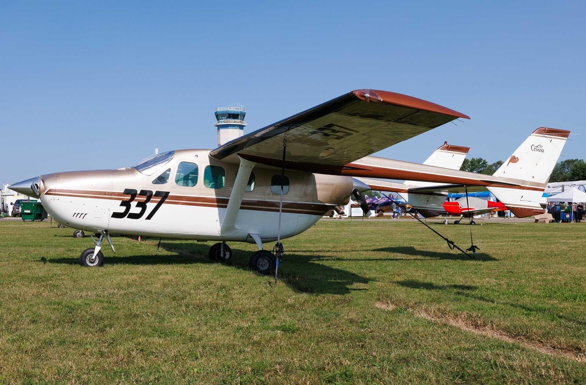 Thu, Nov 5in 2 daysSan JoseKSJC · Norman Y. Mineta San Jose International AirportSt LouisKSUS · Spirit of St Louis AirportCitation Sovereign8—$24,1455NovSan Jose → St LouisKSJC → KSUS · in 2 daysCitation Sovereign · 8 seats$24,145
- Thu, Nov 5in 2 daysBemidjiKBJI · Bemidji Regional AirportSt LouisKSUS · Spirit of St Louis AirportHawker 7509—$17,5355NovBemidji → St LouisKBJI → KSUS · in 2 daysHawker 750 · 9 seats$17,535
- Thu, Nov 5in 2 daysHollandKBIV · West Michigan Regional AirportSt LouisKSUS · Spirit of St Louis AirportHawker 900XP9—$14,1905NovHolland → St LouisKBIV → KSUS · in 2 daysHawker 900XP · 9 seats$14,190
- Fri, Nov 6in 3 daysGeorgetownMWCR · Owen Roberts International AirportSt LouisKSUS · Spirit of St Louis AirportChallenger 3508—On request6NovGeorgetown → St LouisMWCR → KSUS · in 3 daysChallenger 350 · 8 seatsOn request
- Mon, Nov 9in 6 daysSaint MartinTNCM · Princess Juliana International AirportSt LouisKSUS · Spirit of St Louis AirportChallenger 6058—€51,8209NovSaint Martin → St LouisTNCM → KSUS · in 6 daysChallenger 605 · 8 seats€51,820
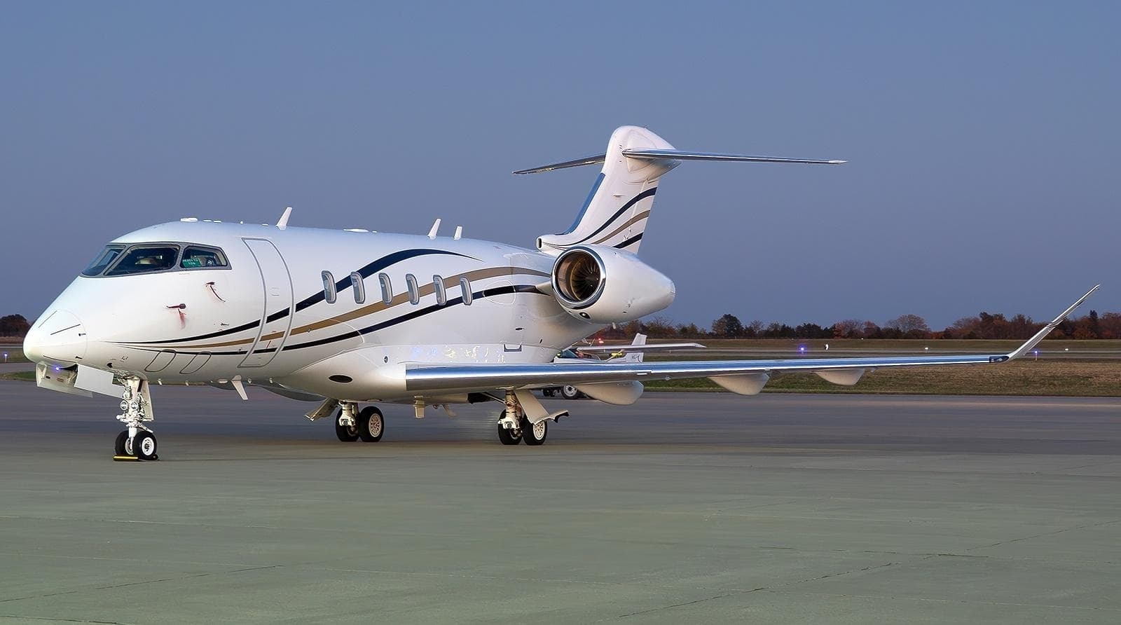 Wed, Nov 11in 8 daysHoustonKIAH · George Bush Intercontinental Houston AirportSt LouisKSUS · Spirit of St Louis AirportChallenger 35010—$33,60511NovHouston → St LouisKIAH → KSUS · in 8 daysChallenger 350 · 10 seats$33,605
- Fri, Nov 13in 10 daysSan DiegoKSAN · San Diego International AirportSt LouisKSUS · Spirit of St Louis AirportHawker 7509—$24,58513NovSan Diego → St LouisKSAN → KSUS · in 10 daysHawker 750 · 9 seats$24,585
- Fri, Nov 1309:00Chicago/AuroraKARR · Aurora Municipal AirportSt LouisKSUS · Spirit of St Louis AirportDassault Falcon 50EX9—$8,47013NovChicago/Aurora → St LouisKARR → KSUS · 09:00Dassault Falcon 50EX · 9 seats$8,470
 MWCR · Owen Roberts International Airport
* Total price incl. 10% service fee, converted to your selected currency. Price subject to operator confirmation.
Map: St Louis Airport
View the location of St Louis – SUS/KSUS. Zoom in to explore the area around the airport.
About the airport
Spirit of St Louis Airport (SUS/KSUS) is the key private jet gateway for St Louis. PrivJet gives you instant access to charter flights and empty legs: fast, discreet and globally connected.
KSUS airport FAQ
Are there any restrictions at St Louis airport (KSUS) today?
There are currently 3 valid NOTAMs for St Louis (KSUS). Affected: Navigation: out of service; Obstacle lights: unserviceable. 3 more NOTAMs start in the coming days. For information only, not for flight planning or operational use. Always rely on an official pre-flight briefing. This list may be incomplete or out of date.
What is the weather at St Louis airport (KSUS)?
According to the latest weather report for KSUS (METAR, 03 Nov, 10:54 UTC): Good visual conditions (VFR). Wind 9 kt (17 km/h) from south (180°), gusts up to 16 kt, visibility 10 km or more, temperature 21 °C (dew point 16 °C). For information only, not for flight planning. Weather can change quickly; always rely on official reports.
How long are the runways at St Louis airport (KSUS)?
St Louis (KSUS) has 2 runways: runway 08R/26L with 2,282 m (7,486 ft), concrete and runway 08L/26R with 1,524 m (5,000 ft), asphalt. The longest is 2,282 m.
What are the radio frequencies at St Louis airport (KSUS)?
Frequencies at KSUS: Tower 122.6 MHz, Ground 121.7 MHz and ATIS 134.8 MHz. For information only. Always rely on the published AIP.
What are the airport codes of Spirit of St Louis Airport?
The ICAO code is KSUS and the IATA code is SUS. ICAO codes are used by air traffic control and pilots, e.g. in flight plans; IATA codes appear on tickets and baggage tags.
What is the elevation of KSUS airport?
Spirit of St Louis Airport sits at 463 ft (141 m) above sea level. Local time zone: America/Chicago.
Can I fly to KSUS by private jet?
Whether a private jet can operate into Spirit of St Louis Airport depends on runway length, opening hours, customs and immigration rules as well as slot and handling availability, among other things. PrivJet checks this with the operating carrier for every request.
Are there empty legs from or to KSUS?
There are currently 28 empty legs departing from and 40 arriving at Spirit of St Louis Airport. Empty legs are repositioning flights at heavily reduced prices; the list is updated several times a day.