Tulsa Airport (KTUL / TUL)
Empty legs and charters from Tulsa
KTUL airport at a glance
- ICAO code
- KTUL
- IATA code
- TUL
- City
- Tulsa
- Region
- Oklahoma
- Country
- United States
- Elevation
- 677 ft (206 m)
- Time zone
- America/Chicago (UTC-6)
- Coordinates
- 36.1984° N, 95.8881° W
- Empty legs from
- 20
- Empty legs to
- 33
Weather & airport info KTUL
Current weather
Marginal visual conditions (MVFR)observed 03 Nov, 12:53 UTC- Wind
- 11 kt (20 km/h) from south-southwest (210°), gusts up to 21 kt
- Visibility
- 10 km or more
- Clouds
- broken clouds at 2,500 ft
- Temperature
- 16 °C (dew point 11 °C)
- Pressure (QNH)
- 1,007 hPa
Original weather report (METAR)
METAR KTUL 031253Z 21011G21KT 10SM BKN025 16/11 A2973 RMK AO2 SLP060 T01560111
Airport
- Elevation
- 677 ft (206 m)
- Sunrise / Sunset
- 06:48 / 17:25 local time
Runways
| Runway | Length | Surface | Lighted |
|---|---|---|---|
| 18L/36R | 3,048 m (10,000 ft) | concrete | yes |
| 08/26 | 2,248 m (7,376 ft) | concrete | yes |
| 18R/36L | 1,860 m (6,101 ft) | asphalt | yes |
Radio frequencies
- ATIS: 124.9
- Clearance: 134.05
- Ground: 121.9
- Tower: 118.7
- UNICOM: 122.95
For information only, not for flight planning. Weather can change quickly; always rely on official reports. Sources: aviationweather.gov (NOAA), OurAirports.
Airport map KTUL
Full screen →Runways white, taxiways yellow with designators, closed taxiways and runways per NOTAM in red.
Official charts (FAA)
Cycle 2611, valid until 0901Z 11/26/26
Airport diagram (FAA)
Airport diagram (1)
Instrument approaches (14)
Departure procedures (1)
Minimums (3)
Other (1)
For information only, not for navigation. Always use current official charts and NOTAMs.
Current NOTAMs for KTUL(16)
NOTAMs (Notices to Air Missions) announce short-term changes at an airport: closed runways or taxiways, unserviceable approach aids, obstacles, airspace restrictions.
- ClosedRunway: closedA1562/26· from 07 Nov, 13:00 UTC · until 07 Nov, 20:00 UTC
Runway 18R/36L at Tulsa International Airport is closed.
Show original text
RWY 18R/36L CLSD
A1562/26 NOTAMN
Q) KZKC/QMRLC////000/999/3611N09553W005
A) KTUL
B) 2611071300
C) 2611072000
E) RWY 18R/36L CLSD
- Out of serviceILS: unserviceableA1560/26· from 09 Nov, 12:00 UTC · until 02 Mar, 15:00 UTC
TUL navigation: ILS (instrument landing system) runway 18R out of service
Show original text
TUL NAV ILS RWY 18R U/S
A1560/26 NOTAMN
Q) KZKC/QICAS////000/999/3611N09553W005
A) KTUL
B) 2611091200
C) 2703021500
E) TUL NAV ILS RWY 18R U/S
- ClosedTaxiway: closedA1563/26· from 07 Nov, 13:00 UTC · until 07 Nov, 20:00 UTC
Taxiway L1, the run-up pad and compass rose, and taxiway L between the approach end of runway 08 and taxiway L1 are closed.
Show original text
TWY L1, L RUNUP PAD AND COMPASS ROSE, QQ, TWY L BTN APCH END RWY 08 AND TWY L1 CLSD
A1563/26 NOTAMN
Q) KZKC/QMXLC////000/999/3611N09553W005
A) KTUL
B) 2611071300
C) 2611072000
E) TWY L1, L RUNUP PAD AND COMPASS ROSE, QQ, TWY L BTN APCH END RWY 08 AND TWY L1 CLSD
- ClosedTaxiway: closedA1564/26· from 07 Nov, 13:00 UTC · until 07 Nov, 20:00 UTC
Taxiway M1, taxiway K between taxiway NN and taxiway M, and taxiway M between taxiway WW and taxiway M1 are closed. This may affect taxiing routes at Tulsa airport.
Show original text
TWY M1, TWY K BTN TWY NN AND TWY M, TWY M BTN TWY WW AND TWY M1 CLSD
A1564/26 NOTAMN
Q) KZKC/QMXLC////000/999/3611N09553W005
A) KTUL
B) 2611071300
C) 2611072000
E) TWY M1, TWY K BTN TWY NN AND TWY M, TWY M BTN TWY WW AND TWY M1 CLSD
- ClosedTaxiway: closedA1565/26· from 07 Nov, 13:00 UTC · until 07 Nov, 20:00 UTC
Taxiway K between runway 18R/36L and taxiway M is closed.
Show original text
TWY K BTN RWY 18R/36L AND TWY M CLSD
A1565/26 NOTAMN
Q) KZKC/QMXLC////000/999/3611N09553W005
A) KTUL
B) 2611071300
C) 2611072000
E) TWY K BTN RWY 18R/36L AND TWY M CLSD
- Out of serviceWind indicator: not availableA1553/26· from 04 Nov, 06:00 UTC · until 04 Nov, 12:00 UTC
The microburst and wind shear detection system at Tulsa airport is out of service. This system helps detect dangerous wind phenomena.
Show original text
SVC MBST/WS DETECTION SYSTEM NOT AVBL
A1553/26 NOTAMN
Q) KZKC/QFWAU////000/999/3611N09553W005
A) KTUL
B) 2611040600
C) 2611041200
E) SVC MBST/WS DETECTION SYSTEM NOT AVBL
- Out of serviceWind indicator: not availableA1561/26· until 06 Nov, 20:00 UTC
The microburst and wind shear detection system is not available. This system warns of dangerous wind phenomena.
Show original text
SVC MBST/WS DETECTION SYSTEM NOT AVBL
A1561/26 NOTAMN
Q) KZKC/QFWAU////000/999/3611N09553W005
A) KTUL
B) 2611021907
C) 2611062000
E) SVC MBST/WS DETECTION SYSTEM NOT AVBL
- Out of serviceObstacle10/102· until 26 Nov, 23:59 UTC
The lighting for a tower obstacle (ASR 1280577) 5.5 nautical miles west-southwest of the airport is out of service. Its top is 1020.7 ft above sea level, 304.5 ft above ground.
Show original text
OBST TOWER LGT (ASR 1280577) 360940.30N0955930.60W (5.5NM WSW TUL) 1020.7FT (304.5FT AGL) U/S
8 more NOTAMs
- Out of serviceArresting gear: unserviceableM0015/26· until 04 Nov, 11:59 UTC
Runway 08 BAK-14 ARRESTING SYSTEM out of service DEPARTURE END CABLE out of service
Show original text
RWY 08 BAK-14 ARRESTING SYSTEM UNSERVICEABLE DEPARTURE END CABLE OUT OF SERVICE
M0015/26 NOTAMN
Q) ZKC/QMHAS/IV/BO/A/000/999/3611N09553W005
A) KTUL
B) 2610222041
C) 2611041159
E) RWY 08 BAK-14 ARRESTING SYSTEM
 UNSERVICEABLE DEPARTURE END CABLE OUT OF SERVICE
- Out of serviceILS outer marker: unserviceable10/082· until 11 Jun, 21:11 UTC
The outer marker (OM) for the Instrument Landing System (ILS) on runway 36R is out of service. The ILS guides aircraft to the runway in poor visibility.
Show original text
TUL NAV ILS RWY 36R OM U/S
A1515/26 NOTAMN
Q) KZKC/QIOAS////000/999/3611N09553W005
A) KTUL
B) 2610221432
C) 2806112111
E) TUL NAV ILS RWY 36R OM U/S
- Out of serviceILS outer marker: unserviceableA1515/26· until 11 Jun, 21:11 UTC
The outer marker (OM) for the Instrument Landing System (ILS) on runway 36R is out of service. The ILS guides aircraft to the runway in poor visibility.
Show original text
TUL NAV ILS RWY 36R OM U/S
A1515/26 NOTAMN Q) KZKC/QIOAS////000/999/3611N09553W005 A) KTUL B) 2610221432 C) 2806112111 E) TUL NAV ILS RWY 36R OM U/S
- Out of serviceObstacle lights: unserviceableA1508/26· until 06 Dec, 06:29 UTC
A tower light 9.8 nautical miles southeast of the airport is out of service. The top of the obstacle is 1135 ft above sea level, 271 ft above ground.
Show original text
TOWER LGT (ASR 1206859) 360335.00N0954656.00W (9.8NM SE TUL) 1135FT (271FT AGL) U/S
A1508/26 NOTAMN
Q) KZKC/QOLAS/IV/M/E/000/999/3603N09546W001
A) KTUL
B) 2610220629
C) 2612060629
E) TOWER LGT (ASR 1206859) 360335.00N0954656.00W (9.8NM SE TUL) 1135FT (271FT AGL) U/S
- NoticeAirspace10/075· until 20 Jan, 02:00 UTC
Airspace for unmanned aircraft systems (UAS) is affected within an area defined as a 1.62 nautical mile radius, 5.5 nautical miles west of the airport, from the surface to 270 feet above ground.
Show original text
AIRSPACE UAS WI AN AREA DEFINED AS 1.62NM RADIUS OF 361226N0960031W (5.5NM W TUL) SFC-270FT AGL
- NoticeAirspace10/047· until 31 Dec, 23:59 UTC
Airspace for unmanned aircraft systems (UAS) is restricted within an area defined as a 3 nautical mile radius of a position 9.8 nautical miles northeast of O38, from the surface to 400 ft above ground.
Show original text
AIRSPACE UAS WI AN AREA DEFINED AS 3NM RADIUS OF 362553N0954214W (9.8NM NE O38) SFC-400FT AGL
- NoticeAirspace10/046· until 31 Dec, 23:59 UTC
Airspace drones (UAS) within an area defined as 3 NM radius of a defined point (14 NM east-southeast of RVS) surface- 400 ft above ground
Show original text
AIRSPACE UAS WI AN AREA DEFINED AS 3NM RADIUS OF 360041N0954211W (14NM ESE RVS) SFC-400FT AGL
- NoticeAirspace10/045· until 31 Dec, 23:59 UTC
Airspace drones (UAS) within an area defined as 3 NM radius of a defined point (8.5 NM east of RVS) surface- 400 ft above ground
Show original text
AIRSPACE UAS WI AN AREA DEFINED AS 3NM RADIUS OF 360249N0954825W (8.5NM E RVS) SFC-400FT AGL
For information only, not for flight planning or operational use. Always rely on an official pre-flight briefing. This list may be incomplete or out of date. Explanations and expanded abbreviations are generated automatically. The original text is authoritative. Source: FAA NOTAM Management Service (SWIM).
Private jet traffic in Tulsa International Airport (last 30 days)
- Arrivals
- 692
- Departures
- 486
- Different jets
- 480
Most frequent origins: Dallas Love Field (44), William P Hobby Airport (22), Centennial Airport (20), Addison Airport (17), Austin Bergstrom International Airport (13).
Most frequent destinations: Dallas Love Field (26), Centennial Airport (20), William P Hobby Airport (14), Addison Airport (13), Will Rogers World Airport (9).
Most common aircraft types: Cessna Citation Excel/XLS (120), Embraer Phenom 300 (81), Bombardier Challenger 350/3500 (78), Cessna Citation Latitude (77), Bombardier Challenger 300 (66).
Monday is the busiest day.
Our own analysis of public ADS-B signals from business jets. Not every flight is received, and jets with a removal request are excluded.
Charter operators based here
Operators with a base at this airport.
- Priester AviationChicago (Executive) (KPWK) · Turboprop, Light jet, Midsize jet
- Flight ConceptsStuart (Witham Field) (KSUA) · Light jet, Piston aircraft
- Omni Private AviationLight jet
- United States Aviation CompanyLight jet, Heavy jet
- Air 1st Aviation Companies of OklahomaTurboprop
Empty legs from KTUL
20 departures available
- Tue, Nov 319:06TulsaKTUL · Tulsa IntlGranburyKGDJ · Granbury Regional AirportBombardier Learjet 607—$9,0753NovTulsa → GranburyKTUL → KGDJ · 19:06Bombardier Learjet 60 · 7 seats$9,075
- Tue, Nov 316:42TulsaKTUL · Tulsa IntlSan AngeloKSJT · Mathis FieldBombardier Learjet 607—$11,7983NovTulsa → San AngeloKTUL → KSJT · 16:42Bombardier Learjet 60 · 7 seats$11,798
 Thu, Nov 5in 2 daysTulsaKTUL · Tulsa International AirportSanta FeKSAF · Santa Fe Municipal AirportLearjet 608—$12,2105NovTulsa → Santa FeKTUL → KSAF · in 2 daysLearjet 60 · 8 seats$12,210
 Mon, Nov 909:12TulsaKTUL · Tulsa International AirportAustinKAUS · Austin Bergstrom International AirportGulfstream G20011h 12m$4,6709NovTulsa → AustinKTUL → KAUS · 09:12Gulfstream G200 · 1 seat · 1h 12m$4,670
- Wed, Nov 11in 8 daysTulsaKTUL · Tulsa IntlWalterboroKRBW · Lowcountry ReglLearjet 75—2h 24mOn request11NovTulsa → WalterboroKTUL → KRBW · in 8 daysLearjet 75 · 2h 24mOn request
- Wed, Nov 1100:53TulsaKTUL · Tulsa International AirportWalterboroKRBW · Lowcountry Regional AirportBombardier Learjet 758—$19,36011NovTulsa → WalterboroKTUL → KRBW · 00:53Bombardier Learjet 75 · 8 seats$19,360
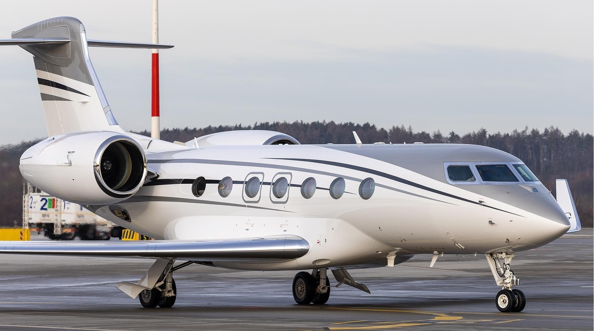 Thu, Nov 19in 16 daysTulsaKTUL · Tulsa International AirportAustinKAUS · Austin Bergstrom International AirportGulfstream G50013—On request19NovTulsa → AustinKTUL → KAUS · in 16 daysGulfstream G500 · 13 seatsOn request
- Thu, Nov 19in 16 daysTulsaKTUL · Tulsa International AirportDallasKRBD · Dallas Executive AirportCessna CitationJet5—$5,06019NovTulsa → DallasKTUL → KRBD · in 16 daysCessna CitationJet · 5 seats$5,060
- Thu, Nov 1916:54TulsaKTUL · Tulsa International AirportDallasKADS · Addison AirportBombardier Challenger 3008—$11019NovTulsa → DallasKTUL → KADS · 16:54Bombardier Challenger 300 · 8 seats$110
 KTUL · Tulsa Intl
* Total price incl. 10% service fee, converted to your selected currency. Price subject to operator confirmation.
Empty legs to KTUL
33 arrivals available
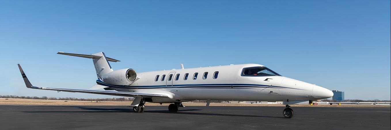 Tue, Nov 3TodayDallasKDAL · Dallas Love FieldTulsaKTUL · Tulsa International AirportLearjet 458—On request3NovDallas → TulsaKDAL → KTUL · TodayLearjet 45 · 8 seatsOn request
- Tue, Nov 3TodayDallasKADS · Addison AirportTulsaKTUL · Tulsa International AirportPilatus PC-12 NG8—On request3NovDallas → TulsaKADS → KTUL · TodayPilatus PC-12 NG · 8 seatsOn request
- Tue, Nov 3TodayDallasKADS · Addison AirportTulsaKTUL · Tulsa International AirportPilatus PC-1281h 16mOn request3NovDallas → TulsaKADS → KTUL · TodayPilatus PC-12 · 8 seats · 1h 16mOn request
- Tue, Nov 3TodayDallasKADS · Addison AirportTulsaKTUL · Tulsa International AirportPilatus PC-12/47E8—On request3NovDallas → TulsaKADS → KTUL · TodayPilatus PC-12/47E · 8 seatsOn request
- Wed, Nov 4TomorrowWalterboroKRBW · Lowcountry ReglTulsaKTUL · Tulsa IntlLearjet 75—2h 24mOn request4NovWalterboro → TulsaKRBW → KTUL · TomorrowLearjet 75 · 2h 24mOn request
- Wed, Nov 4TomorrowDallasKDAL · Dallas Love FieldTulsaKTUL · Tulsa International AirportBombardier Learjet 758—$5,9404NovDallas → TulsaKDAL → KTUL · TomorrowBombardier Learjet 75 · 8 seats$5,940
- Wed, Nov 413:01GypsumKEGE · Eagle County RegionalTulsaKTUL · Tulsa IntlCessna Citation XLS9—$15,4204NovGypsum → TulsaKEGE → KTUL · 13:01Cessna Citation XLS · 9 seats$15,420
 Wed, Nov 417:14WalterboroKRBW · Lowcountry Regional AirportTulsaKTUL · Tulsa International AirportBombardier Learjet 758—$11,0114NovWalterboro → TulsaKRBW → KTUL · 17:14Bombardier Learjet 75 · 8 seats$11,011
 Thu, Nov 500:24Cahokia/St LouisKCPS · St Louis Downtown AirportTulsaKTUL · Tulsa International AirportCessna Citation XLS11h 6m$3,6655NovCahokia/St Louis → TulsaKCPS → KTUL · 00:24Cessna Citation XLS · 1 seat · 1h 6m$3,665
* Total price incl. 10% service fee, converted to your selected currency. Price subject to operator confirmation.
Map: Tulsa Airport
View the location of Tulsa – TUL/KTUL. Zoom in to explore the area around the airport.
About the airport
Tulsa International Airport (TUL/KTUL) is the key private jet gateway for Tulsa. PrivJet gives you instant access to charter flights and empty legs: fast, discreet and globally connected.
KTUL airport FAQ
Are there any restrictions at Tulsa airport (KTUL) today?
There are currently 10 valid NOTAMs for Tulsa (KTUL). Affected: Wind indicator: not available; Obstacle: out of service; Arresting gear: unserviceable; ILS outer marker: unserviceable and 1 more. 6 more NOTAMs start in the coming days. For information only, not for flight planning or operational use. Always rely on an official pre-flight briefing. This list may be incomplete or out of date.
What is the weather at Tulsa airport (KTUL)?
According to the latest weather report for KTUL (METAR, 03 Nov, 12:53 UTC): Marginal visual conditions (MVFR). Wind 11 kt (20 km/h) from south-southwest (210°), gusts up to 21 kt, visibility 10 km or more, temperature 16 °C (dew point 11 °C). For information only, not for flight planning. Weather can change quickly; always rely on official reports.
How long are the runways at Tulsa airport (KTUL)?
Tulsa (KTUL) has 3 runways: runway 18L/36R with 3,048 m (10,000 ft), concrete, runway 08/26 with 2,248 m (7,376 ft), concrete and runway 18R/36L with 1,860 m (6,101 ft), asphalt. The longest is 3,048 m.
What are the radio frequencies at Tulsa airport (KTUL)?
Frequencies at KTUL: Tower 118.7 MHz, Ground 121.9 MHz and ATIS 124.9 MHz. For information only. Always rely on the published AIP.
What are the airport codes of Tulsa International Airport?
The ICAO code is KTUL and the IATA code is TUL. ICAO codes are used by air traffic control and pilots, e.g. in flight plans; IATA codes appear on tickets and baggage tags.
What is the elevation of KTUL airport?
Tulsa International Airport sits at 677 ft (206 m) above sea level. Local time zone: America/Chicago.
Can I fly to KTUL by private jet?
Whether a private jet can operate into Tulsa International Airport depends on runway length, opening hours, customs and immigration rules as well as slot and handling availability, among other things. PrivJet checks this with the operating carrier for every request.
Are there empty legs from or to KTUL?
There are currently 20 empty legs departing from and 33 arriving at Tulsa International Airport. Empty legs are repositioning flights at heavily reduced prices; the list is updated several times a day.