Lorient South Brittany (Bretagne Sud) Airport (LFRH / LRT)
Empty legs and charters from Lorient/Lann/Bihoue
LFRH airport at a glance
- ICAO code
- LFRH
- IATA code
- LRT
- City
- Lorient
- Region
- Brittany
- Country
- France
- Elevation
- 160 ft (49 m)
- Time zone
- Europe/Paris (UTC+1)
- Coordinates
- 47.7606° N, 3.4400° W
- Empty legs from
- 0
- Empty legs to
- 1
Weather & airport info LFRH
Current weather
Good visual conditions (VFR)observed 03 Nov, 12:30 UTC- Wind
- 13 kt (24 km/h) from northeast (40°)
- Visibility
- 10 km or more
- Clouds
- broken clouds at 4,200 ft, broken clouds at 4,900 ft, overcast at 6,000 ft
- Temperature
- 14 °C (dew point 5 °C)
- Pressure (QNH)
- 1,026 hPa
Original weather report (METAR)
METAR LFRH 031230Z AUTO 04013KT 9999 BKN042 BKN049 OVC060 14/05 Q1026 TEMPO 05015G25KT
Forecast (TAF)
- 03 Nov, 12:00–12:00 UTC12 kt (22 km/h) from northeast (50°) · visibility 10 km or more · no significant weather · no significant clouds
- 03 Nov, 12:00–18:00 UTCtemporarily15 kt (28 km/h) from northeast (50°), gusts up to 25 kt
Original forecast (TAF)
TAF LFRH 031100Z 0312/0412 05012KT CAVOK TEMPO 0312/0318 05015G25KT
Airport
- Elevation
- 160 ft (49 m)
- Sunrise / Sunset
- 08:00 / 17:53 local time
Runways
| Runway | Length | Surface | Lighted |
|---|---|---|---|
| 07/25 | 2,403 m (7,884 ft) | concrete | yes |
| 02/20 | 1,670 m (5,479 ft) | concrete | yes |
Radio frequencies
- Approach: 36.23
- Approach: 123
- ATIS: 129.125
- Ground: 119.7
- Tower: 122.7
For information only, not for flight planning. Weather can change quickly; always rely on official reports. Sources: aviationweather.gov (NOAA), OurAirports.
Airport map LFRH
Full screen →Runways white, taxiways yellow with designators, closed taxiways and runways per NOTAM in red.
Official charts
Aerodrome, approach and ground charts are published by the national air navigation service in its AIP:
SIA France →For information only, not for navigation. Always use current official charts and NOTAMs.
Current NOTAMs for LFRH(13)
NOTAMs (Notices to Air Missions) announce short-term changes at an airport: closed runways or taxiways, unserviceable approach aids, obstacles, airspace restrictions.
- ClosedRunway: closedB4567/26· until 02 Jan, 04:50 UTC
The paved runway 02/20 is closed during the activation of the temporary restricted area 'ZRT PLOEMEUR'.
Show original text
PAVED RWY 02/20 CLSD DRG TEMPO RESTRICTED AREA 'ZRT PLOEMEUR' ACT - REF AIP SUP 035/26
B4567/26 NOTAMR B3059/26
 Q) LFRR/QMRLC/IV/NBO/A /000/999/4746N00326W005
 A) LFRH B) 2610030452 C) 2701020450
 E) PAVED RWY 02/20 CLSD DRG TEMPO RESTRICTED AREA 'ZRT PLOEMEUR' ACT
 - REF AIP SUP 035/26
- Out of serviceILS: unserviceableB5090/26· from 10 Nov, 05:40 UTC · until 10 Nov, 06:40 UTC
The Instrument Landing System (ILS) for runway 25 is out of service due to maintenance. It must not be used, as false indications are possible. The ILS guides aircraft to the runway in poor visibility.
Show original text
ILS RWY 25 U/S DUE TO MAINT : DO NOT USE, POSSIBLE FALSE INDICATIONS.
B5090/26 NOTAMN
 Q) LFRR/QICAS/I /NBO/A /000/999/4746N00326W005
 A) LFRH B) 2611100540 C) 2611100640
 E) ILS RWY 25 U/S DUE TO MAINT :
 DO NOT USE, POSSIBLE FALSE INDICATIONS.
- Out of serviceTACAN: unserviceableF2196/26· from 04 Nov, 07:30 UTC · until 04 Nov, 10:30 UTC
The TACAN LOR Channel 105X is out of service due to maintenance. It must not be used, as false indications are possible. TACAN is a navigation system for military aircraft.
Show original text
TACAN LOR CH105X U/S DUE TO MAINT : DO NOT USE, POSSIBLE FALSE INDICATIONS.
F2196/26 NOTAMN
 Q) LFRR/QNNAS/IV/BO /AE/000/999/4746N00326W025
 A) LFRH B) 2611040730 C) 2611041030
 E) TACAN LOR CH105X U/S DUE TO MAINT :
 DO NOT USE, POSSIBLE FALSE INDICATIONS.
- Out of serviceFuel: limited toB4609/26· until 05 Jan, 07:00 UTC
There are restrictions for refuelling rotating rotor aircraft: During the day, refuelling with the rotor turning is available with one hour prior notice. At night, refuelling with the rotor turning is not available.
Show original text
REFUELLING RESTRICTIONS : - ROTATING ROTOR REFUELLING AVBL BY DAY WITH 01HR PN. - ROTATING ROTOR REFUELLING BY NIGHT NOT AVBL.
B4609/26 NOTAMN
 Q) LFRR/QFULT/IV/NBO/A /000/999/4746N00326W005
 A) LFRH B) 2610050727 C) 2701050700
 E) REFUELLING RESTRICTIONS :
 - ROTATING ROTOR REFUELLING AVBL BY DAY WITH 01HR PN.
 - ROTATING ROTOR REFUELLING BY NIGHT NOT AVBL.
- NoticeAerodrome: limited toB4744/26· from 08 Nov, 06:30 UTC · until 08 Nov, 17:00 UTC
The airport is reserved only for ordered flights and operational flights.
Show original text
AD RESERVED FOR ORDERED FLIGHTS AND OPERATIONAL FLIGHTS
B4744/26 NOTAMN
 Q) LFRR/QFALT/IV/NBO/A /000/999/4746N00326W005
 A) LFRH B) 2611080630 C) 2611081700
 E) AD RESERVED FOR ORDERED FLIGHTS AND OPERATIONAL FLIGHTS
- NoticeTerminal control area: deactivatedB4748/26· from 08 Nov, 06:30 UTC · until 08 Nov, 17:00 UTC
'LORIENT' CTR and 'LORIENT' TMA 1 2 3 AREAS DEACTIVATED: -aerodrome CONTROL not PROVIDED except for ORDERED FLIGHTS and OPERATIONAL FLIGHTS -information: LORIENT ATIS (airport information) 129.125 MHz IROISE information 135.830 MHz
Show original text
'LORIENT' CTR AND 'LORIENT' TMA 1 2 3 AREAS DEACTIVATED : -AD CONTROL NOT PROVIDED EXCEPT FOR ORDERED FLIGHTS AND OPERATIONAL FLIGHTS -INFO : LORIENT ATIS 129.125MHZ IROISE INFO 135.830MHZ
B4748/26 NOTAMN Q) LFRR/QATCD/IV/NBO/AE/000/195/4746N00336W032 A) LFRH B) 2611080630 C) 2611081700 E) 'LORIENT' CTR AND 'LORIENT' TMA 1 2 3 AREAS DEACTIVATED : -AD CONTROL NOT PROVIDED EXCEPT FOR ORDERED FLIGHTS AND OPERATIONAL FLIGHTS -INFO : LORIENT ATIS 129.125MHZ IROISE INFO 135.830MHZ - NoticeInstrument approach procedure: changedV0909/26· until 13 Jan, 01:59 UTC
The instrument approach procedure RNP Runway 25 LNAV/VNAV Category C minimums have been changed to 400/800 meters, 260 (300-800 meters).
Show original text
[US DOD PROCEDURAL NOTAM] INSTRUMENT APPROACH PROCEDURE CHANGED RNP RWY 25 ​LNAV/VNAV CAT C MINS CHANGED TO 400/800M 260 (300-800M)
V0909/26 NOTAMN Q) LFRR/QPICH/I/BO/A/000/999/4745N00326W005 A) LFRH B) 2610131728 C) 2701130159 E) [US DOD PROCEDURAL NOTAM] INSTRUMENT APPROACH PROCEDURE CHANGED RNP RWY 25 LNAV/VNAV CAT C MINS CHANGED TO 400/800M 260 (300-800M)
- NoticeInstrument approach procedure: changedB4797/26· until 13 Jan, 00:00 UTC
The minimum requirements for the RNP approach procedure on runway 25 for Category C aircraft have been modified. The decision altitude (DA(H)) is 400, the runway visual range (RVR) is 800, and the obstacle clearance height (OCH) is 258.
Show original text
FOLLOWING PROC MINIMA MODIFIED: - AD 2 LFRH IAC RWY25 RNP CAT C DA(H) 400 RVR 800 OCH 258.
B4797/26 NOTAMN
 Q) LFRR/QPICH/I /NBO/A /000/999/4746N00326W005
 A) LFRH B) 2610131103 C) 2701130000
 E) FOLLOWING PROC MINIMA MODIFIED:
 - AD 2 LFRH IAC RWY25 RNP
 CAT C DA(H) 400 RVR 800 OCH 258.
5 more NOTAMs
- NoticeInstrument approach procedure: changedM3572/26· until 11 Jan, 00:00 UTC
The minimum approach altitudes for the RNP 25 LNAV-VNAV procedure at Lorient-Lann-Bihoue airport have been amended. For Category C, the decision altitude (DA(H)) is now 400 ft, the runway visual range (RVR) is 600 m, and the obstacle clearance height (OCH) is 258 ft.
Show original text
FOLLOWING PROC MINIMA AMENDED : - MIAC 2 RNP 25 LNAV-VNAV, READ : CAT C DA(H) 400 RVR 600 OCH 258.
M3572/26 NOTAMN
 Q) LFRR/QPICH/I /NBO/A /000/999/4746N00326W005
 A) LFRH B) 2610120854 C) 2701110000
 E) FOLLOWING PROC MINIMA AMENDED :
 - MIAC 2 RNP 25 LNAV-VNAV, READ :
 CAT C DA(H) 400 RVR 600 OCH 258.
- NoticeObstacle: erectedP3686/26· until 31 Dec, 23:59 UTC
A crane near Lorient-Lann-Bihoue Airport is an obstacle. Its top is 260 ft above sea level, 132 ft above ground, and it is lit day and night.
Show original text
CRANE OPR CLOSE 'LORIENT LANN BIHOUE' AD: - PSN: 474500N 0032500W - HEIGHT : 132FT - ELEV : 260FT - LIGHTING : DAY/NIGHT
P3686/26 NOTAMN
 Q) LFRR/QOBCE/IV/M  /A /000/999/4746N00326W005
 A) LFRH B) 2610080500 C) 2612312359
 E) CRANE OPR CLOSE 'LORIENT LANN BIHOUE' AD:
 - PSN: 474500N 0032500W
 - HEIGHT : 132FT
 - ELEV : 260FT
 - LIGHTING : DAY/NIGHT
- NoticeAerobatics: will take placeW2173/26· until 02 Jan, 16:33 UTC
Aerobatics are taking place south of Quimperlé. The axis is 020/200, centered on 474957N 0033320W, with a length of 3200 meters.
Show original text
AEROBATICS QUIMPERLE SUD RDL307/6.9NM LFRH: AXIS 020/200 CENTRED ON 474957N 0033320W LEN 3200M INFO: LORIENT TWR 122.700MHZ LORIENT APP 123.000MHZ IROISE INFO 135.830MHZ
W2173/26 NOTAMN Q) LFRR/QWBLW/IV/M /AW/017/050/4750N00332W005 A) LFRH B) 2610030616 C) 2701021633 D) SR-SS E) AEROBATICS QUIMPERLE SUD RDL307/6.9NM LFRH: AXIS 020/200 CENTRED ON 474957N 0033320W LEN 3200M INFO: LORIENT TWR 122.700MHZ LORIENT APP 123.000MHZ IROISE INFO 135.830MHZ F) 1700FT AMSL G) 5000FT AMSLHours: SR-SS
- Out of serviceStandard instrument departure: not availableB4568/26· until 02 Jan, 05:00 UTC
The standard departure route (SID) is suspended when 'ZRT PLOEMEUR' is activated.
Show original text
SID SUSPENDED WHEN 'ZRT PLOEMEUR' ACTIVATED (REF SUP AIP 035/26).
B4568/26 NOTAMR B3058/26
 Q) LFRR/QPDAU/I /NBO/A /000/999/4746N00326W005
 A) LFRH B) 2610030455 C) 2701020500
 E) SID SUSPENDED WHEN 'ZRT PLOEMEUR' ACTIVATED (REF SUP AIP 035/26).
- NoticeAerobaticsW2105/26· until 28 Dec, 00:00 UTC
Aerobatics area number 6367 'Lorient Lann-Bihoue Ouest' near the airport is suspended.
Show original text
AEROBATICS ACT NR 6367 'LORIENT LANN-BIHOUE OUEST' SUSPENDED. PSN : 475014N 0032921W
W2105/26 NOTAMN
 Q) LFRR/QWBXX/IV/M  /AW/017/050/4750N00329W005
 A) LFRH B) 2609280000 C) 2612280000
 E) AEROBATICS ACT NR 6367 'LORIENT LANN-BIHOUE OUEST' SUSPENDED.
 PSN : 475014N 0032921W
 F) 1700FT AMSL G) 5000FT AMSL
For information only, not for flight planning or operational use. Always rely on an official pre-flight briefing. This list may be incomplete or out of date. Explanations and expanded abbreviations are generated automatically. The original text is authoritative. Source: FAA NOTAM Management Service (SWIM).
Private jet traffic in Lorient South Brittany (Bretagne Sud) Airport (last 30 days)
- Arrivals
- 79
- Departures
- 15
- Different jets
- 26
Most frequent origins: Toulouse-Blagnac Airport (15), Inverness Airport (3), Toussus-le-Noble Airport (3), Paris-Le Bourget Airport (3).
Most frequent destinations: Toulouse-Blagnac Airport (5).
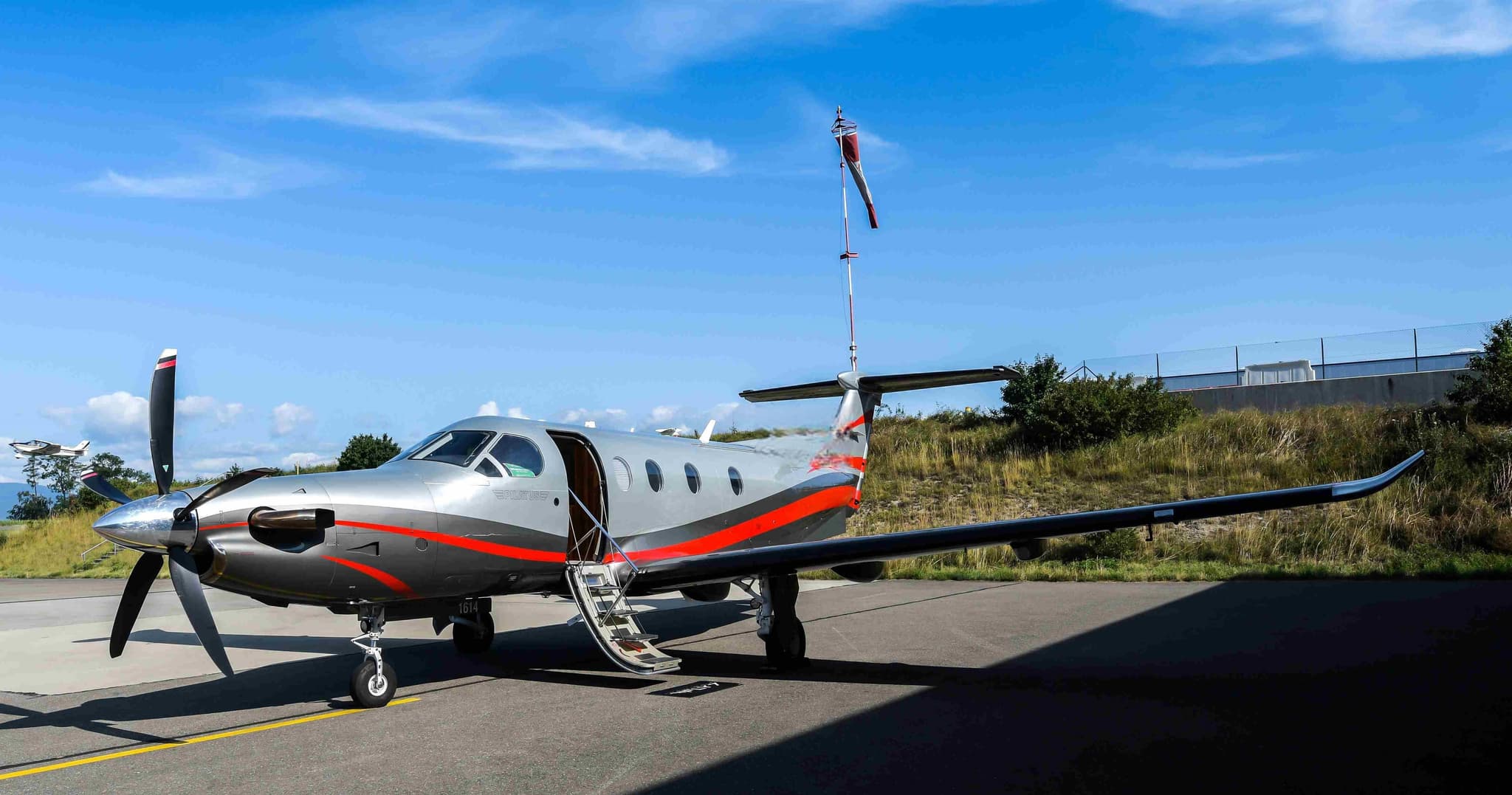
Most common aircraft types: Beechcraft King Air 350 (29), Dassault Falcon 2000 (18), Pilatus PC-12 (15), Dassault Falcon 50 (14), Daher TBM 700 (4).
Monday is the busiest day.
Our own analysis of public ADS-B signals from business jets. Not every flight is received, and jets with a removal request are excluded.
Empty legs from LFRH
0 departures available
No empty legs are currently available departing from this airport.
Request tailored flightEmpty legs to LFRH
1 arrivals available
 LFPB · Paris-Le Bourget Airport
* Total price incl. 10% service fee, converted to your selected currency. Price subject to operator confirmation.
Map: Lorient/Lann/Bihoue Airport
View the location of Lorient/Lann/Bihoue – LRT/LFRH. Zoom in to explore the area around the airport.
About the airport
Lorient South Brittany (Bretagne Sud) Airport (LRT/LFRH) is the key private jet gateway for Lorient/Lann/Bihoue. PrivJet gives you instant access to charter flights and empty legs: fast, discreet and globally connected.
LFRH airport FAQ
Are there any restrictions at Lorient airport (LFRH) today?
There are currently 9 valid NOTAMs for Lorient (LFRH). According to NOTAM, at least one runway or the aerodrome itself is closed. Affected: Runway: closed; Fuel: limited to; Standard instrument departure: not available. 4 more NOTAMs start in the coming days. For information only, not for flight planning or operational use. Always rely on an official pre-flight briefing. This list may be incomplete or out of date.
What is the weather at Lorient airport (LFRH)?
According to the latest weather report for LFRH (METAR, 03 Nov, 12:30 UTC): Good visual conditions (VFR). Wind 13 kt (24 km/h) from northeast (40°), visibility 10 km or more, temperature 14 °C (dew point 5 °C). For information only, not for flight planning. Weather can change quickly; always rely on official reports.
How long are the runways at Lorient airport (LFRH)?
Lorient (LFRH) has 2 runways: runway 07/25 with 2,403 m (7,884 ft), concrete and runway 02/20 with 1,670 m (5,479 ft), concrete. The longest is 2,403 m.
What are the radio frequencies at Lorient airport (LFRH)?
Frequencies at LFRH: Tower 122.7 MHz, Ground 119.7 MHz and ATIS 129.125 MHz. For information only. Always rely on the published AIP.
What are the airport codes of Lorient South Brittany (Bretagne Sud) Airport?
The ICAO code is LFRH and the IATA code is LRT. ICAO codes are used by air traffic control and pilots, e.g. in flight plans; IATA codes appear on tickets and baggage tags.
What is the elevation of LFRH airport?
Lorient South Brittany (Bretagne Sud) Airport sits at 160 ft (49 m) above sea level. Local time zone: Europe/Paris.
Can I fly to LFRH by private jet?
Whether a private jet can operate into Lorient South Brittany (Bretagne Sud) Airport depends on runway length, opening hours, customs and immigration rules as well as slot and handling availability, among other things. PrivJet checks this with the operating carrier for every request.
Are there empty legs from or to LFRH?
There are currently 0 empty legs departing from and 1 arriving at Lorient South Brittany (Bretagne Sud) Airport. Empty legs are repositioning flights at heavily reduced prices; the list is updated several times a day.