Ankara Esenboga Airport (LTAC / ESB)
Empty legs and charters from Ankara
LTAC airport at a glance
- ICAO code
- LTAC
- IATA code
- ESB
- City
- Ankara
- Region
- Ankara
- Country
- Türkiye
- Elevation
- 3,125 ft (953 m)
- Time zone
- Europe/Istanbul (UTC+3)
- Coordinates
- 40.1281° N, 32.9951° E
- Empty legs from
- 1
- Empty legs to
- 1
Weather & airport info LTAC
Current weather
Marginal visual conditions (MVFR)observed 03 Nov, 01:53 UTC- Wind
- 3 kt (6 km/h) from south-southwest (210°)
- Visibility
- 7 km
- Weather
- Light rain showers
- Clouds
- scattered clouds at 4,000 ft, broken clouds at 10,000 ft
- Temperature
- 10 °C (dew point 9 °C)
- Pressure (QNH)
- 1,019 hPa
Original weather report (METAR)
SPECI LTAC 030153Z 21003KT 160V240 7000 -SHRA SCT040 BKN100 10/09 Q1019 NOSIG
Forecast (TAF)
- 03 Nov, 00:00–00:00 UTC2 kt (4 km/h) from variable directions · visibility 10 km or more · scattered clouds at 3,500 ft, scattered clouds at 10,000 ft
- 03 Nov, 00:00–03:00 UTCtemporarilyvisibility 4 km · Light rain showers, mist · broken clouds at 3,000 ft, broken clouds at 8,000 ft
- 03 Nov, 03:00–07:00 UTCtemporarilyvisibility 2 km · Light rain showers, mist · few clouds at 1,000 ft, broken clouds at 3,000 ft, broken clouds at 8,000 ft
- 03 Nov, 10:00–14:00 UTCtemporarily, 30 % probabilityLight rain showers · broken clouds at 3,000 ft, broken clouds at 8,000 ft
- 03 Nov, 18:00–22:00 UTCtemporarilyvisibility 4 km · Light rain showers, mist
Original forecast (TAF)
TAF LTAC 022240Z 0300/0324 VRB02KT 9999 SCT035 SCT100 TEMPO 0300/0303 4000 -SHRA BR BKN030 BKN080 TEMPO 0303/0307 2500 -SHRA BR FEW010 BKN030 BKN080 PROB30 TEMPO 0310/0314 -SHRA BKN030 BKN080 TEMPO 0318/0322 4000 -SHRA BR
Airport
- Elevation
- 3,125 ft (953 m)
- Sunrise / Sunset
- 07:19 / 17:44 local time
Runways
| Runway | Length | Surface | Lighted |
|---|---|---|---|
| 03L/21R | 3,750 m (12,303 ft) | asphalt | yes |
| 03R/21L | 3,750 m (12,303 ft) | asphalt | yes |
Radio frequencies
- Approach: 119.1
- ATIS: 123.6
- Ground: 121.9
- Tower: 118.1
For information only, not for flight planning. Weather can change quickly; always rely on official reports. Sources: aviationweather.gov (NOAA), OurAirports.
Airport map LTAC
Full screen →Runways white, taxiways yellow with designators, closed taxiways and runways per NOTAM in red.
Closed per NOTAM: TWY E1
Official charts
Aerodrome, approach and ground charts are published by the national air navigation service in its AIP:
DHMİ AIP Türkiye →For information only, not for navigation. Always use current official charts and NOTAMs.
Current NOTAMs for LTAC(13)
NOTAMs (Notices to Air Missions) announce short-term changes at an airport: closed runways or taxiways, unserviceable approach aids, obstacles, airspace restrictions.
- ClosedRunway: closedJ4699/26· from 03 Nov, 06:00 UTC · until 03 Nov, 14:00 UTC
Runway 03C/21C is closed between taxiway D1 and taxiway H due to maintenance. Please follow tower instructions.
Show original text
RWY 03C/21C CLSD BTN TWY D1 AND TWY H. -DUE TO MAINT- -ADZ TWR INSTRUCTIONS-
J4699/26 NOTAMN
 Q) LTAA/QMRLC/IV/NBO/A /000/999/4008N03300E005
 A) LTAC B) 2611030600 C) 2611031400
 E) RWY 03C/21C CLSD BTN TWY D1 AND TWY H.
 -DUE TO MAINT-
 -ADZ TWR INSTRUCTIONS-
- ClosedAircraft stand: closedJ4703/26· until 03 Nov, 19:00 UTC
Aircraft stands 111 and 112 are closed due to asphalt works. Please follow tower instructions.
Show original text
ACFT STANDS 111 AND 112 CLSD DUE TO ASPHALT WORKS. NOTE: ADVISE TWR INSTRUCTIONS.
J4703/26 NOTAMN
 Q) LTAA/QMPLC/IV/BO /A /000/999/4008N03300E005
 A) LTAC B) 2611021949 C) 2611031900
 E) ACFT STANDS 111 AND 112 CLSD DUE TO ASPHALT WORKS.
 NOTE: ADVISE TWR INSTRUCTIONS.
- ClosedTaxiway: closedJ4687/26· until 30 Nov, 14:00 UTC
Taxiway E1 is closed to traffic. Please follow the tower's instructions.
Show original text
TWY E1 CLSD TO TFC. -ADZ TWR INSTRUCTIONS.
J4687/26 NOTAMN
 Q) LTAA/QMXLC/IV/BO /A /000/999/4008N03300E005
 A) LTAC B) 2611021400 C) 2611301400
 E) TWY E1 CLSD TO TFC.
 -ADZ TWR INSTRUCTIONS.
- Out of serviceDME: unserviceableJ4644/26· until 13 Nov, 14:00 UTC
The DME ANK channel 96X is out of service. A DME is a radio navigation system that measures the distance to a ground point.
Show original text
DME ANK CH96X U/S.
J4644/26 NOTAMR J4432/26
 Q) LTAA/QNDAS/IV/BO /A /000/999/3957N03250E005
 A) LTAC B) 2610300700 C) 2611131400
 E) DME ANK CH96X U/S.
- Out of serviceATIS: unserviceableJ4331/26· until 09 Jan, 17:00 UTC
The automatic terminal information service (ATIS) for departures on 129.200 MHz is out of service. ATIS broadcasts for arrivals and departures are provided on 123.600 MHz instead.
Show original text
ATIS (AUTOMATIC TERMINAL INFORMATION SERVICE) 129.200MHZ (DEP) U/S. ATIS (ARR) AND ATIS (DEP) BROADCASTS ARE PROVIDED ON 123.600MHZ.
J4331/26 NOTAMN
 Q) LTAA/QSAAS/IV/BO /A /000/999/4008N03300E005
 A) LTAC B) 2610091756 C) 2701091700
 E) ATIS (AUTOMATIC TERMINAL INFORMATION SERVICE) 129.200MHZ (DEP)
 U/S.
 ATIS (ARR) AND ATIS (DEP) BROADCASTS ARE PROVIDED ON 123.600MHZ.
- Out of serviceInstrument approach procedure: changedV0893/26· until 26 Nov, 23:59 UTC
For the instrument approach procedure ILS V or LOC V runway 03C, the ANK NDB (Non-Directional Beacon) is out of service. Do not use ANK NDB for Minimum Safe Altitude (MSA); instead, utilize NBG VOR/DME for MSA, with the same sectors and altitudes.
Show original text
[US DOD PROCEDURAL NOTAM] INSTRUMENT APPROACH PROCEDURE AMENDMENT ILS V OR LOC V RWY 03C ANK NDB OTS. DO NOT USE ANK NDB FOR MSA. UTILIZE NBG VOR/DME FOR MSA. SAME SECTORS AND SAME ALTITUDES.
V0893/26 NOTAMN
Q) LTAA/QPICH/I/BO/A/000/999/4007N03259E005
A) LTAC
B) 2610051252
C) 2611262359
E) [US DOD PROCEDURAL NOTAM] INSTRUMENT APPROACH PROCEDURE AMENDMENT ILS V OR LOC V RWY 03C ANK NDB OTS. DO NOT USE ANK NDB FOR MSA. UTILIZE NBG VOR/DME FOR MSA. SAME SECTORS AND SAME ALTITUDES.
- Out of serviceInstrument approach procedure: changedV0887/26· until 26 Nov, 23:59 UTC
[US DOD PROCEDURAL NOTAM] INSTRUMENT APPROACH PROCEDURE AMENDMENT ILS (instrument landing system) X or localizer X runway 03L ANK NDB beacon out of service. DO not USE ANK NDB beacon for MSA. UTILIZE NBG VOR/DME for MSA. SAME SECTORS and SAME ALTITUDES.
Show original text
[US DOD PROCEDURAL NOTAM] INSTRUMENT APPROACH PROCEDURE AMENDMENT ILS X OR LOC X RWY 03L ANK NDB OTS. DO NOT USE ANK NDB FOR MSA. UTILIZE NBG VOR/DME FOR MSA. SAME SECTORS AND SAME ALTITUDES.
V0887/26 NOTAMN
Q) LTAA/QPICH/I/BO/A/000/999/4007N03259E005
A) LTAC
B) 2610011256
C) 2611262359
E) [US DOD PROCEDURAL NOTAM] INSTRUMENT APPROACH PROCEDURE AMENDMENT ILS X OR LOC X RWY 03L ANK NDB OTS. DO NOT USE ANK NDB FOR MSA. UTILIZE NBG VOR/DME FOR MSA. SAME SECTORS AND SAME ALTITUDES.
- NoticeCommunications/radar: installedJ4605/26· until 25 Jan, 18:00 UTC
The DCL (Departure Clearance) system, which transmits departure clearances, is available for testing. Aircraft with the capability should obtain air traffic control clearance from the DCL system; otherwise, they must contact the delivery frequency broadcast on the ATIS (Automatic Terminal Information Service) and state the reason for 'rejection'.
Show original text
DCL (DEPARTURE CLEARANCE) SYSTEM AVBL ON TEST. AIRCRAFT WITH THE CAPABILITY SHALL TAKE ATC CLEARENCE FROM DCL SYSTEM, OTHERWISE MUST CONTACT THE DELIVERY FREQ BROADCAST ON AUTOMATIC TERMINAL INFORMATION SERVICE (ATIS) WITH THE REASON FOR 'REJECTION'.
J4605/26 NOTAMR J3086/26
 Q) LTAA/QCDCS/IV/BO /AE/000/999/4008N03300E005
 A) LTAC B) 2610270710 C) 2701251800
 E) DCL (DEPARTURE CLEARANCE) SYSTEM AVBL ON TEST. AIRCRAFT WITH THE
 CAPABILITY SHALL TAKE ATC CLEARENCE FROM DCL SYSTEM, OTHERWISE MUST
 CONTACT THE DELIVERY FREQ BROADCAST ON AUTOMATIC TERMINAL
 INFORMATION SERVICE (ATIS) WITH THE REASON FOR 'REJECTION'.
5 more NOTAMs
- NoticeMovement areaJ4601/26· until 09 Nov, 13:30 UTC
The stopbar lights on taxiway M7, taxiway M8, and taxiway K4 are working every second light.
Show original text
TWY M7, TWY M8 AND TWY K4 STOPBAR LIGHTS EVERY SECOND WORKING.
J4601/26 NOTAMN
 Q) LTAA/QMOXX/IV/BO /A /000/999/4008N03300E005
 A) LTAC B) 2610270657 C) 2611091330
 E) TWY M7, TWY M8 AND TWY K4 STOPBAR LIGHTS EVERY SECOND WORKING.
- NoticeAerodrome control towerJ4470/26· until 23 Jan, 23:59 UTC
Advanced tower procedures are in force at Ankara/Esenboga airport. The airport will send A-DPI messages to improve estimated take-off times. Flight plans of aircraft that return to stand after EOBT will be suspended in the ATM network with a C-DPI message. Operators must update EOBT with a DLA or CHG message to revoke the suspension.
Show original text
ADVANCED TWR PROCEDURES IN FORCE: DUE TO THE START OF INFORMATION EXCHANGE FOR DEPARTURE FLIGHTS USING EUROPEAN STANDARD FOR A-CDM AIRPORTS, LTAC WILL SEND A-DPI MESSAGES TO NMOC REPORTING TTOT TO IMPROVE TAKE-OFF TIME ESTIMATES. THE FPL OF ACFT THAT FOR ANY REASON RETURNS TO STAND AFTEREOBT WILL BE SUSPENDED IN THE ATM NETWORK WITH A C-DPI MESSAGE. THE ACFT OPERATOR WILL RECEIVE A FLS MESSAGE WITH REASON 'SUSPENDED BY DEPARTURE AIRPORT'. TO REVOKE THE SUSPENSION, OPERATORS SHALL UPDATE EOBT WITH A DLA OR CHG MESSAGE. ACRONYMS : A-CDM (AIRPORT COLLABORATIVE DECISION MAKING) A-DPI (ATC DEPARTURE PLANNING INFORMATION) ATFCM (AIR TRAFFIC FLOW CAPACITY MANAGEMENT) C-DPI (CANCEL DEPARTURE PLANNING INFORMATION) FLS (FLIGHT SUSPENSION) NMOC (NETWORK MANAGER OPERATIONS CENTER) TTOT (TARGET TAKE-OFF TIME)
J4470/26 NOTAMN
 Q) LTAA/QSTXX/IV/NBO/A /000/999/4008N03300E005
 A) LTAC B) 2610231000 C) 2701232359
 E) ADVANCED TWR PROCEDURES IN FORCE:
 DUE TO THE START OF INFORMATION EXCHANGE FOR DEPARTURE FLIGHTS USING
 EUROPEAN STANDARD FOR A-CDM AIRPORTS, LTAC WILL SEND A-DPI MESSAGES
 TO NMOC REPORTING TTOT TO IMPROVE TAKE-OFF TIME ESTIMATES.
 THE FPL OF ACFT THAT FOR ANY REASON RETURNS TO STAND AFTEREOBT WILL
 BE SUSPENDED IN THE ATM NETWORK WITH A C-DPI MESSAGE. THE ACFT
 OPERATOR WILL RECEIVE A FLS MESSAGE WITH REASON 'SUSPENDED BY
 DEPARTURE AIRPORT'. TO REVOKE THE SUSPENSION, OPERATORS SHALL UPDATE
 EOBT WITH A DLA OR CHG MESSAGE.
 ACRONYMS :
 A-CDM (AIRPORT COLLABORATIVE DECISION MAKING)
 A-DPI (ATC DEPARTURE PLANNING INFORMATION)
 ATFCM (AIR TRAFFIC FLOW CAPACITY MANAGEMENT)
 C-DPI (CANCEL DEPARTURE PLANNING INFORMATION)
 FLS (FLIGHT SUSPENSION)
 NMOC (NETWORK MANAGER OPERATIONS CENTER)
 TTOT (TARGET TAKE-OFF TIME)
- Out of serviceInstrument approach procedure: not availableJ4320/26· until 09 Nov, 14:00 UTC (estimated)
The ILS (instrument landing system) Z CAT I (IAC-22) and Y CAT I (IAC-24) procedures for runway 03R are suspended. Instead, the LOC (localizer) Z (IAC-22) and Y (IAC-24) procedures for runway 03R, which guide aircraft to the runway, shall be used.
Show original text
ANKARA ESENBOGA AD: 03R ILS Z CAT I (IAC-22) AND 03R ILS Y CAT I (IAC-24) PROCEDURES ARE SUSPENDED. HOWEVER, 03R LOC Z (IAC-22) AND 03R LOC Y (IAC-24) PROCEDURES SHALL BE USED.
J4320/26 NOTAMR J3017/26
 Q) LTAA/QPIAU/I /NBO/A /000/999/4008N03300E005
 A) LTAC B) 2610091040 C) 2611091400EST
 E) ANKARA ESENBOGA AD:
 03R ILS Z CAT I (IAC-22) AND 03R ILS Y CAT I (IAC-24) PROCEDURES ARE
 SUSPENDED.
 HOWEVER, 03R LOC Z (IAC-22) AND 03R LOC Y (IAC-24) PROCEDURES SHALL
 BE USED.
- Out of serviceInstrument approach procedure: not availableJ4170/26· until 07 Nov, 12:00 UTC (estimated)
Several approach procedures and Standard Departure Routes (STAR) for Ankara Esenboga Airport are suspended, including STAR-8 (runway 03R) and multiple ILS and NDB approach procedures for runways 03C, 03L, and 03R.
Show original text
ANKARA ESENBOGA AD: STAR-8 (RWY 03R), IAC-1 (NDB Z RWY 03C), IAC-7 (NDB Z RWY 03L), IAC-25 (ILS X CAT II RWY 03R), IAC-27 (ILS W CAT I RWY 03R), IAC-29 (ILS V CAT II RWY03R) PROCEDURES ARE SUSPENDED. REF AIP AD 2 LTAC STAR-8, IAC-1, IAC-7 , IAC-25 , IAC-27, IAC-29
J4170/26 NOTAMR J3270/26
 Q) LTAA/QPIAU/I /NBO/A /000/999/4008N03300E005
 A) LTAC B) 2610021010 C) 2611071200EST
 E) ANKARA ESENBOGA AD:

 STAR-8 (RWY 03R),
 IAC-1 (NDB Z RWY 03C),
 IAC-7 (NDB Z RWY 03L),
 IAC-25 (ILS X CAT II RWY 03R),
 IAC-27 (ILS W CAT I RWY 03R),
 IAC-29 (ILS V CAT II RWY03R) PROCEDURES ARE SUSPENDED.

 REF AIP AD 2 LTAC STAR-8, IAC-1, IAC-7 , IAC-25 ,
 IAC-27, IAC-29
- NoticeMovement areaJ4097/26· until 31 Dec, 09:00 UTC
Runway 03R/21L and taxiways M1, M2, M3, M4, M5, M6, M7, M8, J1, H1, L are not available when the runway visual range (RVR) is less than 350 meters.
Show original text
RWY 03R/21L AND TWY M1, TWY M2, TWY M3, TWY M4, TWY M5, TWY M6, TWY M7, TWY M8, TWY J1, TWY H1, TWY L NOT AVAILABLE WHEN RVR VALUE LESS THAN 350M. -DUE TO SMR RADAR COVERAGE- -ADVISE TWR INSTRUCTIONS-
J4097/26 NOTAMN
 Q) LTAA/QMAXX/IV/NBO/A /000/999/4008N03300E005
 A) LTAC B) 2609300732 C) 2612310900
 E) RWY 03R/21L AND TWY M1, TWY M2, TWY M3, TWY M4, TWY M5, TWY M6,
 TWY M7, TWY M8, TWY J1, TWY H1, TWY L NOT AVAILABLE WHEN RVR VALUE
 LESS THAN 350M.
 -DUE TO SMR RADAR COVERAGE-
 -ADVISE TWR INSTRUCTIONS-
For information only, not for flight planning or operational use. Always rely on an official pre-flight briefing. This list may be incomplete or out of date. Explanations and expanded abbreviations are generated automatically. The original text is authoritative. Source: FAA NOTAM Management Service (SWIM).
Charter operators based here
Operators with a base at this airport.
- JetGlobeMidsize jet, Super midsize jet, Heavy jet
- Skyline AviationSuper midsize jet, Helicopter
- Zafer AirHeavy jet
- Vizyon AviationMidsize jet, Heavy jet
- Limak AviationHeavy jet
- PanJetLight jet, Super midsize jet
- ATP HavacilikHeavy jet
- Kalyon Guven AviationMidsize jet
- Nurol AviationSuper midsize jet
- Foto HavacilikTurboprop
Empty legs from LTAC
1 departures available
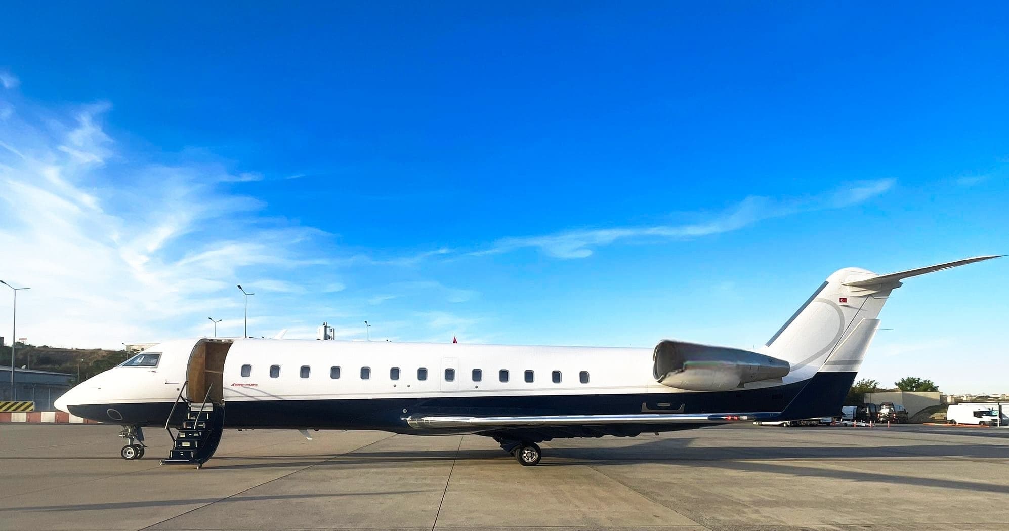
 LTAC · Esenboga International Airport
* Total price incl. 10% service fee, converted to your selected currency. Price subject to operator confirmation.
Empty legs to LTAC
1 arrivals available
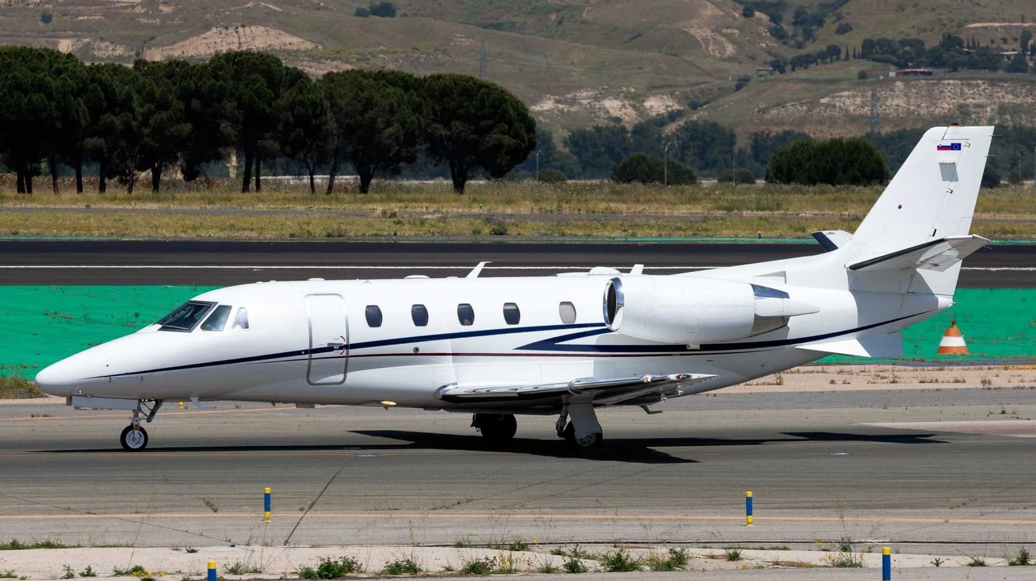
 LGAV · Eleftherios Venizelos International Airport
* Total price incl. 10% service fee, converted to your selected currency. Price subject to operator confirmation.
Map: Ankara Airport
View the location of Ankara – ESB/LTAC. Zoom in to explore the area around the airport.
About the airport
Esenboga International Airport (ESB/LTAC) is the key private jet gateway for Ankara. PrivJet gives you instant access to charter flights and empty legs: fast, discreet and globally connected.
LTAC airport FAQ
Are there any restrictions at Ankara airport (LTAC) today?
There are currently 12 valid NOTAMs for Ankara (LTAC). Affected: Aircraft stand: closed; Taxiway: closed; DME: unserviceable; ATIS: unserviceable and 2 more. 1 more NOTAM starts in the coming days. For information only, not for flight planning or operational use. Always rely on an official pre-flight briefing. This list may be incomplete or out of date.
What is the weather at Ankara airport (LTAC)?
According to the latest weather report for LTAC (METAR, 03 Nov, 01:53 UTC): Marginal visual conditions (MVFR). Wind 3 kt (6 km/h) from south-southwest (210°), visibility 7 km, temperature 10 °C (dew point 9 °C). Light rain showers. For information only, not for flight planning. Weather can change quickly; always rely on official reports.
How long are the runways at Ankara airport (LTAC)?
Ankara (LTAC) has 2 runways: runway 03L/21R with 3,750 m (12,303 ft), asphalt and runway 03R/21L with 3,750 m (12,303 ft), asphalt. The longest is 3,750 m.
What are the radio frequencies at Ankara airport (LTAC)?
Frequencies at LTAC: Tower 118.1 MHz, Ground 121.9 MHz and ATIS 123.6 MHz. For information only. Always rely on the published AIP.
What are the airport codes of Esenboga International Airport?
The ICAO code is LTAC and the IATA code is ESB. ICAO codes are used by air traffic control and pilots, e.g. in flight plans; IATA codes appear on tickets and baggage tags.
What is the elevation of LTAC airport?
Esenboga International Airport sits at 3,125 ft (953 m) above sea level. Local time zone: Europe/Istanbul.
Can I fly to LTAC by private jet?
Whether a private jet can operate into Esenboga International Airport depends on runway length, opening hours, customs and immigration rules as well as slot and handling availability, among other things. PrivJet checks this with the operating carrier for every request.
Are there empty legs from or to LTAC?
There are currently 1 empty legs departing from and 1 arriving at Esenboga International Airport. Empty legs are repositioning flights at heavily reduced prices; the list is updated several times a day.