Lihue Airport (PHLI / LIH)
Empty legs and charters from Lihue
PHLI airport at a glance
- ICAO code
- PHLI
- IATA code
- LIH
- City
- Lihue
- Region
- Hawaii
- Country
- United States
- Elevation
- 153 ft (47 m)
- Time zone
- Pacific/Honolulu (UTC-10)
- Coordinates
- 21.9760° N, 159.3390° W
- Empty legs from
- 3
- Empty legs to
- 3
Weather & airport info PHLI
Current weather
Good visual conditions (VFR)observed 03 Nov, 23:53 UTC- Wind
- 15 kt (28 km/h) from north-northeast (30°)
- Visibility
- 10 km or more
- Weather
- Light rain
- Clouds
- broken clouds at 7,000 ft
- Temperature
- 26 °C (dew point 21 °C)
- Pressure (QNH)
- 1,019 hPa
Original weather report (METAR)
METAR PHLI 032353Z 03015KT 10SM -RA BKN070 26/21 A3010 RMK AO2 SLP191 P0000 60000 T02610211 10272 20244 56015 $
Forecast (TAF)
- 04 Nov, 00:00–00:00 UTC18 kt (33 km/h) from northeast (50°), gusts up to 27 kt · visibility 10 km or more · Light rain showers · scattered clouds at 2,000 ft, broken clouds at 4,000 ft
Original forecast (TAF)
TAF PHLI 032321Z 0400/0424 05018G27KT P6SM -SHRA SCT020 BKN040
Airport
- Elevation
- 153 ft (47 m)
- Sunrise / Sunset
- 06:42 / 17:59 local time
Runways
| Runway | Length | Surface | Lighted |
|---|---|---|---|
| 03/21 | 1,981 m (6,500 ft) | asphalt | yes |
| 17/35 | 1,981 m (6,500 ft) | asphalt | yes |
Radio frequencies
- ATIS: 127.2
- CTAF: 118.9
- Ground: 121.9
- Tower: 118.9
For information only, not for flight planning. Weather can change quickly; always rely on official reports. Sources: aviationweather.gov (NOAA), OurAirports.
Airport map PHLI
Full screen →Runways white, taxiways yellow with designators, closed taxiways and runways per NOTAM in red.
Closed per NOTAM: RWY 3, TWY B*, TWY C (* partly closed)
Official charts (FAA)
Cycle 2611, valid until 0901Z 11/26/26
Airport diagram (FAA)
Airport diagram (1)
Instrument approaches (8)
Departure procedures (2)
Obstacle departure procedures (2)
For information only, not for navigation. Always use current official charts and NOTAMs.
Current NOTAMs for PHLI(19)
NOTAMs (Notices to Air Missions) announce short-term changes at an airport: closed runways or taxiways, unserviceable approach aids, obstacles, airspace restrictions.
- ClosedRunway: closedA2036/26· until 01 Jan, 03:00 UTC
Runway 03 is closed for landings, but takeoffs and taxiing are still permitted.
Show original text
RWY 03 CLSD TO LDG EXC TKOF AND TAX
A2036/26 NOTAMN
Q) PHZH/QMRLC////000/999/2158N15920W005
A) PHLI
B) 2610300240
C) 2701010300
E) RWY 03 CLSD TO LDG EXC TKOF AND TAX
- ClosedTaxiway: closedA2056/26· until 07 Nov, 04:00 UTC
Taxiway B between taxiway D and the approach end of runway 35 is closed. This may affect taxiing routes at Lihue airport.
Show original text
TWY B BTN TWY D AND APCH END RWY 35 CLSD
A2056/26 NOTAMN
Q) PHZH/QMXLC////000/999/2158N15920W005
A) PHLI
B) 2611031900
C) 2611070400
D) DLY 1900-0400
E) TWY B BTN TWY D AND APCH END RWY 35 CLSD
Hours: DLY 1900-0400
- ClosedTaxiway: closedA2057/26· until 07 Nov, 04:00 UTC
Taxiway C is closed. This may affect taxiing routes at Lihue airport.
Show original text
TWY C CLSD
A2057/26 NOTAMN
Q) PHZH/QMXLC////000/999/2158N15920W005
A) PHLI
B) 2611031900
C) 2611070400
D) DLY 1900-0400
E) TWY C CLSD
Hours: DLY 1900-0400
- Out of servicePAPI: unserviceableA2051/26· until 06 Nov, 01:00 UTC
The PAPI (Precision Approach Path Indicator) for runway 35 is out of service. This system helps pilots find the correct glide path to the runway.
Show original text
RWY 35 PAPI U/S
A2051/26 NOTAMN
Q) PHZH/QLPAS////000/999/2158N15920W005
A) PHLI
B) 2611020615
C) 2611060100
E) RWY 35 PAPI U/S
- Out of serviceTACANA2048/26· until 01 Dec, 23:59 UTC
LIH navigation: TACAN AZM out of service
Show original text
LIH NAV TACAN AZM U/S
A2048/26 NOTAMN
Q) PHZH/QNNXX////000/999/2158N15920W005
A) PHLI
B) 2610311950
C) 2612012359
E) LIH NAV TACAN AZM U/S
- Out of serviceRunway end identifier lights: unserviceableA2042/26· until 01 Jan, 03:00 UTC
The runway end identification lights for runway 03 are out of service.
Show original text
RWY 03 RWY END ID LGT U/S
A2042/26 NOTAMN
Q) PHZH/QLIAS////000/999/2158N15920W005
A) PHLI
B) 2610300244
C) 2701010300
E) RWY 03 RWY END ID LGT U/S
- Out of servicePAPI: unserviceableA2037/26· until 01 Jan, 03:00 UTC
The PAPI (Precision Approach Path Indicator) for runway 03 is out of service. The PAPI is a system that provides pilots with visual guidance for the correct approach angle to the runway.
Show original text
RWY 03 PAPI U/S
A2037/26 NOTAMN
Q) PHZH/QLPAS////000/999/2158N15920W005
A) PHLI
B) 2610300242
C) 2701010300
E) RWY 03 PAPI U/S
- Out of serviceTACAN10/047· until 07 Nov, 23:59 UTC
The TACAN azimuth system at Lihue Airport is out of service. TACAN is a navigation system for aircraft.
Show original text
LIH NAV TACAN AZM U/S
A1998/26 NOTAMN Q) PHZH/QNNXX////000/999/2158N15920W005 A) PHLI B) 2610212350 C) 2611072359 E) LIH NAV TACAN AZM U/S
11 more NOTAMs
- Out of serviceOtherA1935/26· until 30 Nov, 04:00 UTC
An obstacle light on a hill, 1.5 nautical miles north-northwest of the airport, is out of service. Its height is 709 feet.
Show original text
OBST HILL LGT (ASN UNKNOWN) 220001N1592130W (1.5NM NNW LIH) 709FT U/S
A1935/26 NOTAMN
Q) PHZH/QXXXX////000/999/2158N15920W005
A) PHLI
B) 2609301034
C) 2611300400
E) OBST HILL LGT (ASN UNKNOWN) 220001N1592130W (1.5NM NNW LIH)
 709FT U/S
- NoticeRunway: work in progressA2046/26· until 01 Jan, 03:00 UTC
Construction work in progress in the southwest safety area of Runway 03/21 at Lihue airport, extending 250 feet.
Show original text
RWY 03/21 SAFETY AREA SW 250FT WIP CONST
A2046/26 NOTAMN
Q) PHZH/QMRHW////000/999/2158N15920W005
A) PHLI
B) 2610300257
C) 2701010300
E) RWY 03/21 SAFETY AREA SW 250FT WIP CONST
- NoticeOtherA2043/26· until 01 Jan, 03:00 UTC
For runway 03, the declared distances for takeoff, landing, and accelerate-stop have been revised: TORA 6500FT, TODA 6500FT, ASDA 6500FT, LDA 0FT.
Show original text
RWY 03 DECLARED DIST: TORA 6500FT TODA 6500FT ASDA 6500FT LDA 0FT
A2043/26 NOTAMN
Q) PHZH/QXXXX////000/999/2158N15920W005
A) PHLI
B) 2610300250
C) 2701010300
E) RWY 03 DECLARED DIST: TORA 6500FT TODA 6500FT ASDA 6500FT LDA 0FT
- NoticeOtherA2044/26· until 01 Jan, 03:00 UTC
For runway 21, the declared distances for takeoff, landing, and accelerate-stop have been revised: TORA 6000FT, TODA 6000FT, ASDA 5750FT, LDA 5545FT.
Show original text
RWY 21 DECLARED DIST: TORA 6000FT TODA 6000FT ASDA 5750FT LDA 5545FT
A2044/26 NOTAMN
Q) PHZH/QXXXX////000/999/2158N15920W005
A) PHLI
B) 2610300250
C) 2701010300
E) RWY 21 DECLARED DIST: TORA 6000FT TODA 6000FT ASDA 5750FT LDA 5545FT
- NoticeTaxiway10/030· until 01 Jan, 10:00 UTC
The taxiway E center line markings are not standard.
Show original text
TWY E CL MARKINGS NOT STD
- NoticeTaxiway10/026· until 01 Jan, 10:00 UTC
The taxiway B surface painted holding position signs for the approach end of runway 35 are not standard.
Show original text
TWY B SFC PAINTED HLDG PSN SIGNS FOR APCH END RWY 35 NOT STD
- NoticeTaxiway10/027· until 01 Jan, 10:00 UTC
The taxiway B centerline markings between runway 03/21 and the approach end of runway 35 are not standard.
Show original text
TWY B CL MARKINGS BTN RWY 03/21 AND APCH END RWY 35 NOT STD
- NoticeTaxiway10/028· until 01 Jan, 10:00 UTC
The taxiway B edge markings between taxiway C and the approach end of runway 35 have been removed.
Show original text
TWY B EDGE MARKINGS BTN TWY C AND APCH END RWY 35 REMOVED
- NoticeTaxiway10/029· until 01 Jan, 10:00 UTC
The taxiway D centerline markings between taxiway B and runway 17/35 are not standard.
Show original text
TWY D CL MARKINGS BTN TWY B AND RWY 17/35 NOT STD
- NoticeDaylight markings10/024· until 01 Jan, 10:00 UTC
The taxiway C surface painted holding position signs are not standard.
Show original text
TWY C SFC PAINTED HLDG PSN SIGNS NOT STD
10/024 NOTAMN
Q) PHZH/QMMXX/V/M/A/000/999/2158N15920W005
A) PHLI
B) 2610161843
C) 2701011000

E) TWY C SFC PAINTED HLDG PSN SIGNS NOT STD
- NoticeDaylight markings10/025· until 01 Jan, 10:00 UTC
The taxiway C centerline markings are not standard.
Show original text
TWY C CL MARKINGS NOT STD
10/025 NOTAMN
Q) PHZH/QMMXX/V/M/A/000/999/2158N15920W005
A) PHLI
B) 2610161843
C) 2701011000

E) TWY C CL MARKINGS NOT STD
For information only, not for flight planning or operational use. Always rely on an official pre-flight briefing. This list may be incomplete or out of date. Explanations and expanded abbreviations are generated automatically. The original text is authoritative. Source: FAA NOTAM Management Service (SWIM).
Private jet traffic in Lihue Airport (last 30 days)
- Arrivals
- 53
- Departures
- 26
- Different jets
- 27
Most frequent origins: Honolulu International Airport (36).
Most frequent destinations: Honolulu International Airport (20).
Most common aircraft types: Beechcraft King Air 90 (42), Pilatus PC-12 (12), Gulfstream G450/GIV (7), Beechcraft King Air 200/250 (4), Gulfstream G650 (3).
Sunday is the busiest day.
Our own analysis of public ADS-B signals from business jets. Not every flight is received, and jets with a removal request are excluded.
Charter operators based here
Operators with a base at this airport.
- Airborne Aviation HawaiiHelicopter
- Jack Harter HelicoptersHelicopter
- Island Helicopters KauaiHelicopter
- Safari AviationHelicopter
- Ali’i Kauai Air Tours & ChartersPiston aircraft
Empty legs from PHLI
3 departures available
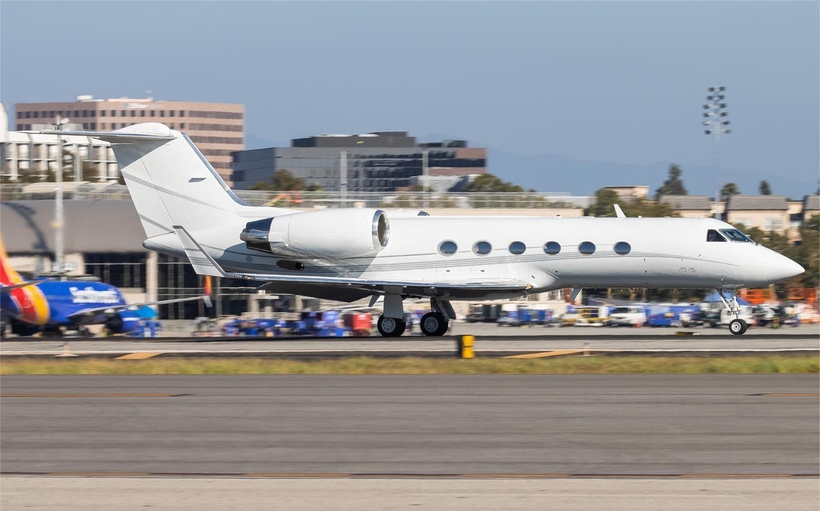 Sun, Nov 22in 18 daysLihuePHLI · Lihue AirportSanta AnaKSNA · John Wayne Airport-Orange County AirportGulfstream GIV13—On request22NovLihue → Santa AnaPHLI → KSNA · in 18 daysGulfstream GIV · 13 seatsOn request
 Fri, Dec 1809:01LihuePHLI · Lihue AirportVan NuysKVNY · Van Nuys AirportGulfstream G IV SP14—On request18DecLihue → Van NuysPHLI → KVNY · 09:01Gulfstream G IV SP · 14 seatsOn request
 Sat, Dec 1923:01LihuePHLI · Lihue AirportVan NuysKVNY · Van Nuys AirportGulfstream G IV SP14—$96,86519DecLihue → Van NuysPHLI → KVNY · 23:01Gulfstream G IV SP · 14 seats$96,865
 PHLI · Lihue Airport
* Total price incl. 10% service fee, converted to your selected currency. Price subject to operator confirmation.
Empty legs to PHLI
3 arrivals available
- Fri, Dec 4in 30 daysVan NuysKVNY · Van Nuys AirportLihuePHLI · Lihue AirportGulfstream G280106hOn request4DecVan Nuys → LihueKVNY → PHLI · in 30 daysGulfstream G280 · 10 seats · 6hOn request
- Sat, Jan 214:00Van NuysKVNYLihuePHLIGulfstream G V13—On request2JanVan Nuys → LihueKVNY → PHLI · 14:00Gulfstream G V · 13 seatsOn request
 Mon, Jan 409:00Van NuysKVNY · Van Nuys AirportLihuePHLI · Lihue AirportGulfstream G V15h 18mOn request4JanVan Nuys → LihueKVNY → PHLI · 09:00Gulfstream G V · 1 seat · 5h 18mOn request
* Total price incl. 10% service fee, converted to your selected currency. Price subject to operator confirmation.
Map: Lihue Airport
View the location of Lihue – LIH/PHLI. Zoom in to explore the area around the airport.
About the airport
Lihue Airport (LIH/PHLI) is the key private jet gateway for Lihue. PrivJet gives you instant access to charter flights and empty legs: fast, discreet and globally connected.
PHLI airport FAQ
Are there any restrictions at Lihue airport (PHLI) today?
There are currently 19 valid NOTAMs for Lihue (PHLI). According to NOTAM, at least one runway or the aerodrome itself is closed. Affected: Runway: closed; Taxiway: closed; PAPI: unserviceable; TACAN and 2 more. For information only, not for flight planning or operational use. Always rely on an official pre-flight briefing. This list may be incomplete or out of date.
What is the weather at Lihue airport (PHLI)?
According to the latest weather report for PHLI (METAR, 03 Nov, 23:53 UTC): Good visual conditions (VFR). Wind 15 kt (28 km/h) from north-northeast (30°), visibility 10 km or more, temperature 26 °C (dew point 21 °C). Light rain. For information only, not for flight planning. Weather can change quickly; always rely on official reports.
How long are the runways at Lihue airport (PHLI)?
Lihue (PHLI) has 2 runways: runway 03/21 with 1,981 m (6,500 ft), asphalt and runway 17/35 with 1,981 m (6,500 ft), asphalt. The longest is 1,981 m.
What are the radio frequencies at Lihue airport (PHLI)?
Frequencies at PHLI: Tower 118.9 MHz, Ground 121.9 MHz and ATIS 127.2 MHz. For information only. Always rely on the published AIP.
What are the airport codes of Lihue Airport?
The ICAO code is PHLI and the IATA code is LIH. ICAO codes are used by air traffic control and pilots, e.g. in flight plans; IATA codes appear on tickets and baggage tags.
What is the elevation of PHLI airport?
Lihue Airport sits at 153 ft (47 m) above sea level. Local time zone: Pacific/Honolulu.
Can I fly to PHLI by private jet?
Whether a private jet can operate into Lihue Airport depends on runway length, opening hours, customs and immigration rules as well as slot and handling availability, among other things. PrivJet checks this with the operating carrier for every request.
Are there empty legs from or to PHLI?
There are currently 3 empty legs departing from and 3 arriving at Lihue Airport. Empty legs are repositioning flights at heavily reduced prices; the list is updated several times a day.